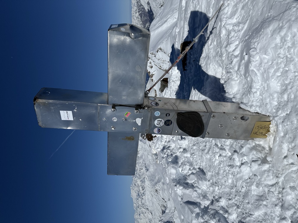
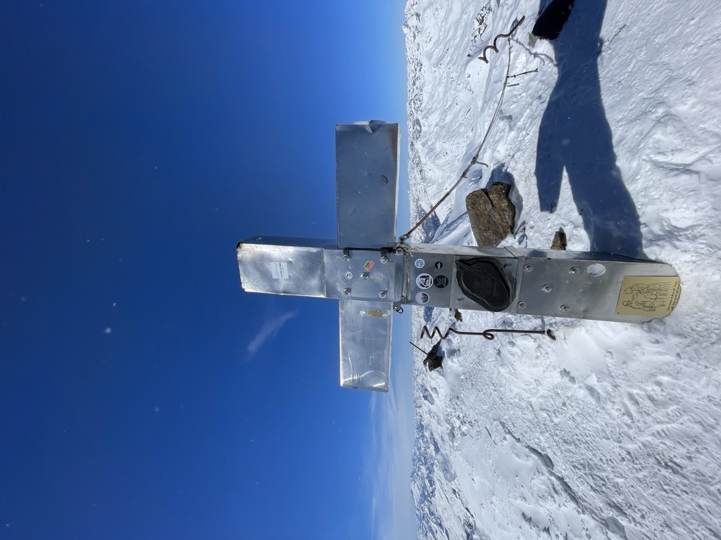
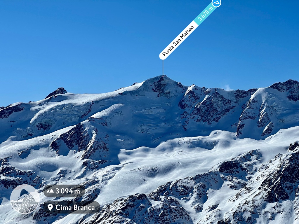
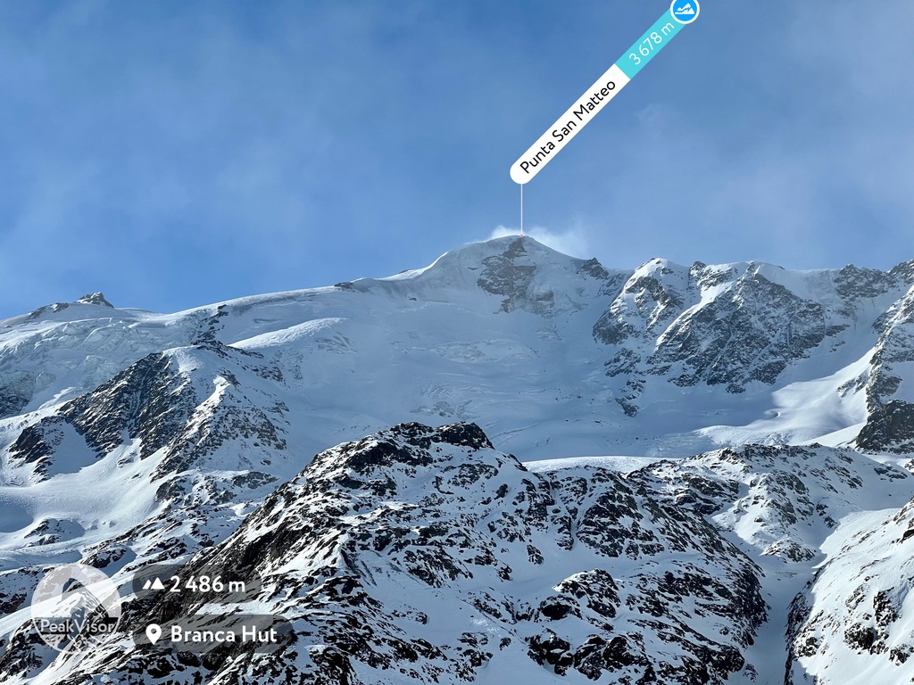
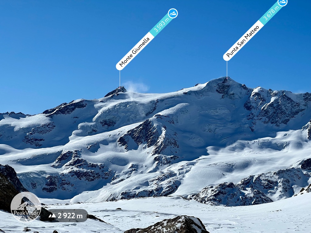
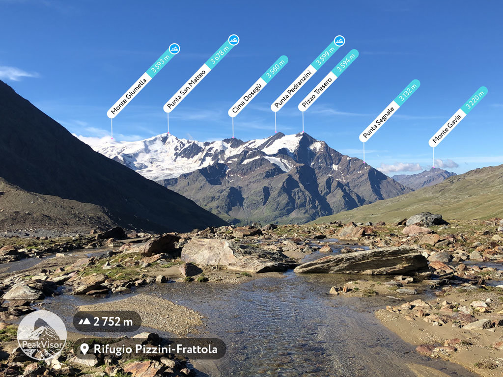
Punta San Matteo is a secondary peak of Ortler-Vioz in the Ortler Alps, at the border between the Province of Sondrio (Lombardy region) and Trentino (Trentino-Alto Adige/Südtirol region) in northern Italy.
It was the scene of the Battle of San Matteo in World War I, which, until the 1999 Kargil war, has been the highest battlefield in modern warfare history.
There's an alpine trail (T4) leading to the summit.
The nearest mountain hut is Bivacco Meneghello located 1 588m/5 210ft E of the summit.
By elevation Punta San Matteo is
# 10 out of 425 in the Ortler Alps # 10 out of 1160 in the Southern Rhaetian Alps # 10 out of 370 in Parco Nazionale dello Stelvio - Nationalpark Stilfser Joch # 22 out of 3401 in Lombardy # 4 out of 1796 in Provincia di Trento # 11 out of 3872 in Trentino-Alto Adige/Südtirol # 22 out of 973 in Sondrio
By prominence Punta San Matteo is
# 11 out of 425 in the Ortler Alps # 30 out of 1160 in the Southern Rhaetian Alps # 17 out of 370 in Parco Nazionale dello Stelvio - Nationalpark Stilfser Joch # 69 out of 1796 in Provincia di Trento # 45 out of 973 in Sondrio
We use GPS information embedded into the photo when it is available.
3D mountains overlay
Adjust mountain panorama to perfectly match your photos because recorded by camera photo position might be imprecise.
Move tool
Rotate tool
Zoom
More customization
Choose which peak labels should make into the final photo and what photo title should be.
Next
Photo Location
Satellitte
Flat map
Relief map
Latitude
Longitude
Altitude
OR
Latitude
°'''
Longitude
°'''
Apply
Register Peak
Peak Name
Latitude
Longitude
Altitude
Register
Teleport
PeakVisor
This 3D model of Sagarmatha National Park in Nepal was made using the PeakVisor app topographic data. The mobile app features higher precision models worldwide, more topographic details, and works offline. Download PeakVisor maps today.
Download OBJ model
PeakVisor
The download should start shortly. If you find it useful please consider supporting the PeakVisor app.
PeakVisor for iOS and Android
Be a superhero of outdoor navigation with state-of-the-art 3D maps and mountain identification in the palm of your hand!