Get PeakVisor App
Sign In
Search by GPS coordinates
- Latitude
- ° ' ''
- Longitude
- ° ' ''
- Units of Length

Yes
Cancel
❤ Wishlist ×
Choose
Delete
The Lassen Volcanic Wilderness encompasses a rugged, remote, and geologically unique region in the US state of California. The wilderness is centered around Lassen Peak, which experienced a series of eruptions between 1914 and 1921. There are 34 named mountains in the wilderness, the tallest of which is Brokeoff Mountain at 9,232 ft (2,814 m) in elevation, while the most prominent mountain in the wilderness is Prospect Peak with 1,939 ft (591 m) of prominence.
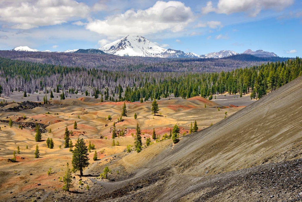
The Lassen Volcanic Wilderness lies in northeastern California within Lassen Volcanic National Park. The wilderness is located in Shasta, Lassen, Plumas, and Tehama counties, and it encompasses 79,062 acres (21,995 ha) of land.
In fact, the wilderness covers 74 percent of Lassen National Park’s total area. Much of the landscape in the wilderness area has been shaped by the volcanic eruptions that took place in the region at the beginning of the twentieth century. Remnants of these massive eruptions are still present throughout the region to this day.
The landscape in the wilderness is marked by hot springs, lava rocks, sulfurous vents, and jagged ridgelines, along with densely forested areas. Additionally, the wilderness is roughly divided into west and east sections.
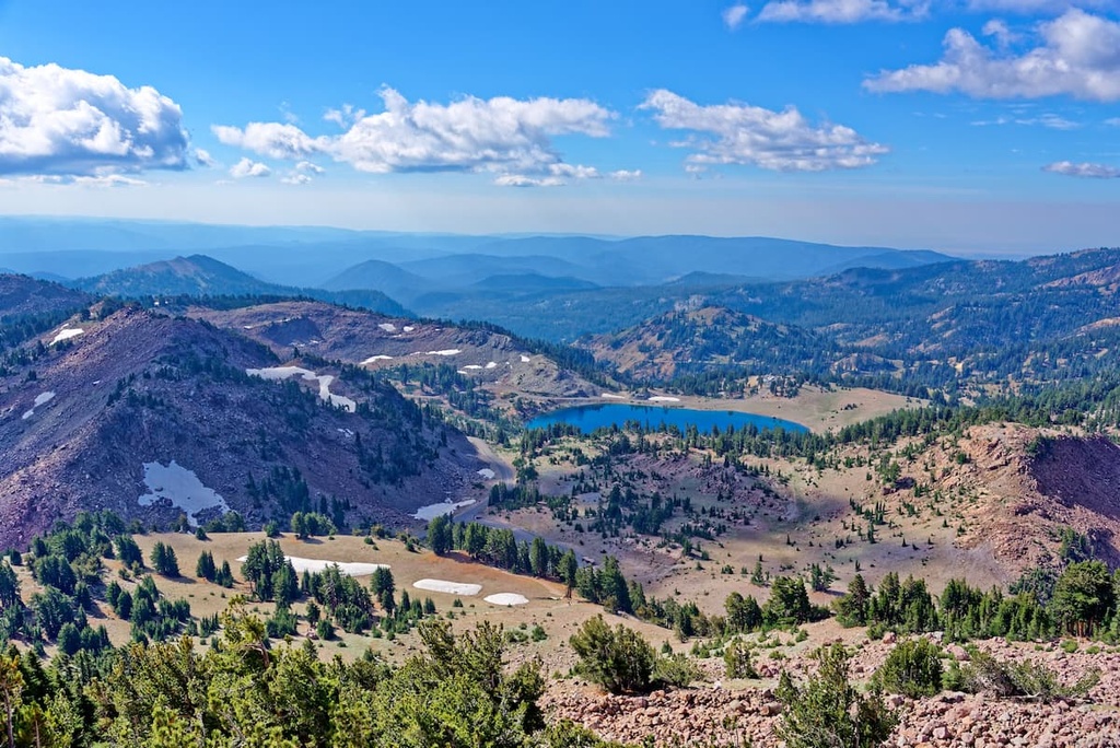
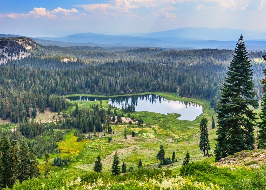
The western stretches of the wilderness are home to vast lava pinnacles and craters. Visitors in this area can also spot sweeping canyons and a series of streams and lakes. The eastern portion of the wilderness features a prominent lava plateau. This section of the wilderness is also home to forests and lakes along with fields of wildflowers.
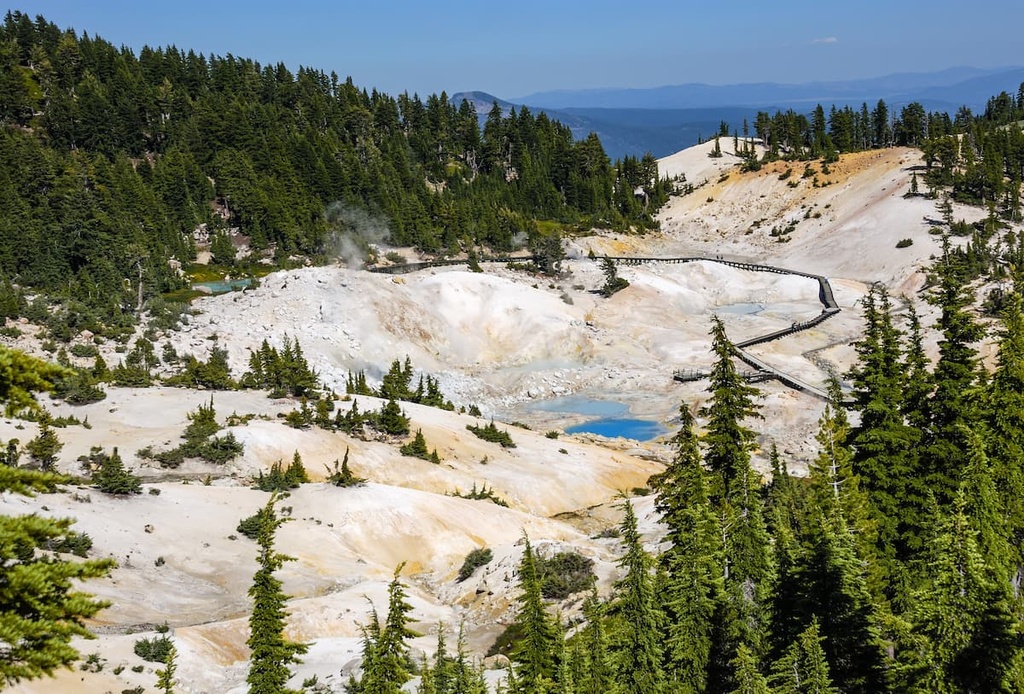
Many notable hot springs lie in the southeastern region of the wilderness and the national park. Some of the main hot springs in the area include Devils Kitchen, Boiling Springs Lake, and Terminal Geyser.
Additionally, Lassen Volcanic Wilderness is situated near numerous other forests and parks that can be used for outdoor recreation.
For example, the Thousand Lakes Wilderness lies directly to the north of the wilderness along with Lassen National Forest, which also extends to the west and south. Plumas National Forest and Bucks Lake Wilderness lie further to the south along with Tahoe National Forest and Plumas-Eureka State Park. Shasta-Trinity National Forest also lies to the northwest of the wilderness.
Lassen Peak (Kohm Yah-mah-nee) is the main focal point of both its namesake wilderness and national park, though it technically lies just outside of the wilderness boundaries. The peak is one of the largest plug dome volcanoes in the world and is composed of dacite.
The peaks found within the wilderness are geologically part of the Cascade Range, which extends northward into Oregon and Washington. Lassen Peak is the southernmost non-extinct volcano in the Cascade Range.

Though Lassen Peak is a particularly prominent mountain, the current volcano actually sits on the remains of Mount Tehama, which was once over 1,000 ft (305 m) taller than Lassen Peak. Tehama erupted and later collapsed during the late Pleistocene. Glacial retreating further carved away this once-massive volcano.
The magma that resulted from the series of eruptions in the region was created by the subduction of the Pacific Plate under the North American Plate. Though named after Lassen Peak, the wilderness is home to numerous other volcanoes.
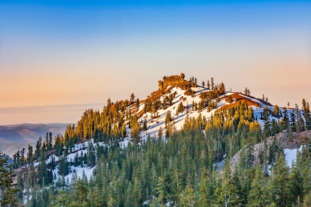
There are four shield volcanoes in the wilderness: Mount Harkness, Prospect Peak, Raker Peak, and Red Cinder. Periods of glaciation and glacial retreat have further carved out the landscape in the wilderness, eroding away the older volcanoes and giving rise to the ones that are visible today.
Major peaks within the wilderness area include Brokeoff Mountain, Prospect Peak, Red Cinder, Mount Harkness, and Hat Mountain.
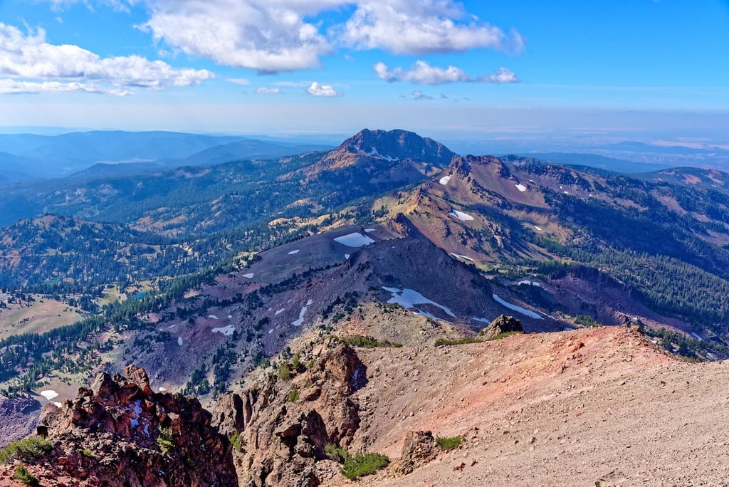
At elevations below 7,800 feet (2,377 m), the Lassen Volcanic Wilderness is marked by a forested landscape. Common trees in this region include red fir, white fir, lodgepole pine, and Jeffrey pine.
A majority of the fauna in the region inhabits these lower elevations. The wilderness is home to populations of mule deer, black bears, martens, mountain chickadees, brown creepers, and long-toed salamanders. Numerous bat species are also common throughout the wilderness.
At elevations above 7,800 feet (2,377 m), the forest thins out to feature mountain hemlock and low-growing grasses. This region also supports populations of golden-mantled ground squirrels, pikas, and gray-crowned rosy finches.
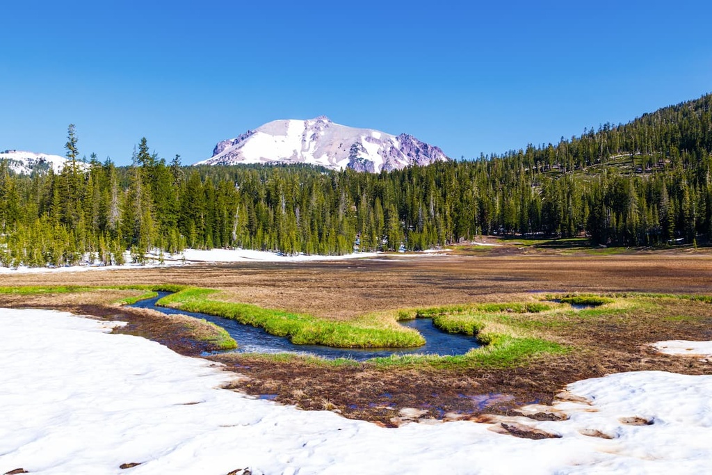
Throughout the Lassen Volcanic Wilderness, hikers may spot montane voles, sagebrush lizards, dark-eyed juncos, Western terrestrial garter snakes, mountain pocket gophers, and Pacific tree frogs. The pinemat manzanita can also be spotted in some of the lower elevation areas in the wilderness.
The human history of the land within the Lassen Volcanic Wilderness dates back thousands of years. The land that is now part of the wilderness, as well as the surrounding national park and national forest, is the ancestral homelands of the Atsugewi people.
The Atsugewi traditionally lived throughout northeastern California, and their territory historically extended from Lassen Peak to Mount Shasta. A majority of their settlements were traditionally situated along the Pit River and its tributaries.
Additionally, the Astugewi consist of two primary bands. This includes the Atsugé who lived near Hat Creek and whose name translates to “pine-tree people.” The other major Atsugewi band is the Apwaruge or “juniper-tree people,” who traditionally inhabited Dixie Valley.
Historically, the Achomawi people also lived near the current wilderness area. The Achomawi are closely related to the Atsugewi people. The two groups had a strong alliance with one another and would often trade together.
A number of other Indigenous nations also have ancestral ties to the region around what is now the Lassen Volcanic Wilderness, including the Mountain Maidu, Yana, and Yahi.
Settlers of European descent began arriving in the region during the mid-nineteenth century. Lassen Peak acted as a major landmark for those trekking across the mountains into Sacramento Valley. The peak’s English language name comes from that of one of the early mountain guides during this period, Peter Lassen.
As more settlers began passing through the region, the Indigenous communities in the area were repeatedly attacked, displaced, and killed. Many of the settlers in the region were backed by the US government in their efforts to displace the Astugewi people.
Today the Atsugewi people are part of a shared nation with the Achumawi people. Together the two tribes form the Pit River Tribe, which includes nine Achumawi bands and two Atsugewi bands. The Pit River Tribe maintains six rancherias and has a population of around 1,800 enrolled members.
During the 1850s, there were many accounts of people seeing small eruptions take place on Lassen Peak. In an effort to preserve and protect the region, the Lassen Peak Forest Preserve was established. In 1907, both Lassen Peak and Cinder Cone were declared National Monuments.
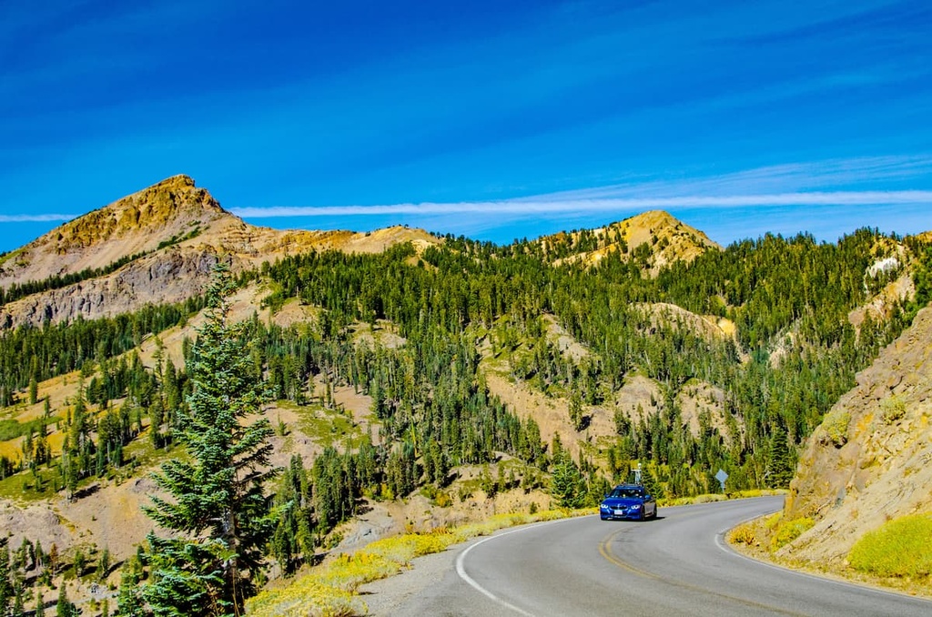
Major eruptions occurred in the area between 1914 and 1921, forming a new crater and depositing ash across the region. Thankfully, no one is thought to have died during this series of eruptions.
In 1916, the region was declared a national park. A small portion of the park was designated as wilderness in 1974. Over the following decades, the wilderness was further expanded to its current size.
Following the eruption of Mount St. Helens (Cowlitz: Lawetlat’la) in 1980, Lassen Peak has been heavily monitored to ensure warnings can be put in place if another eruption occurs. In August 2021, nearly 41,000 acres (16,600 ha) of land were burned in the park by the Dixie Fire.
The Lassen Volcanic Wilderness is home to numerous trails and other opportunities for outdoor recreation. Here are some of the top hiking trails to check out in the wilderness area.
The Devil’s Kitchen Trail lies in the south-central region of the Lassen Volcanic Wilderness. Hikers on this trail will climb steadily as they head into the mountains and pass by Dream Lake. After passing through sweeping meadows and forested patches, this route reaches the Devil’s Kitchen hot springs.
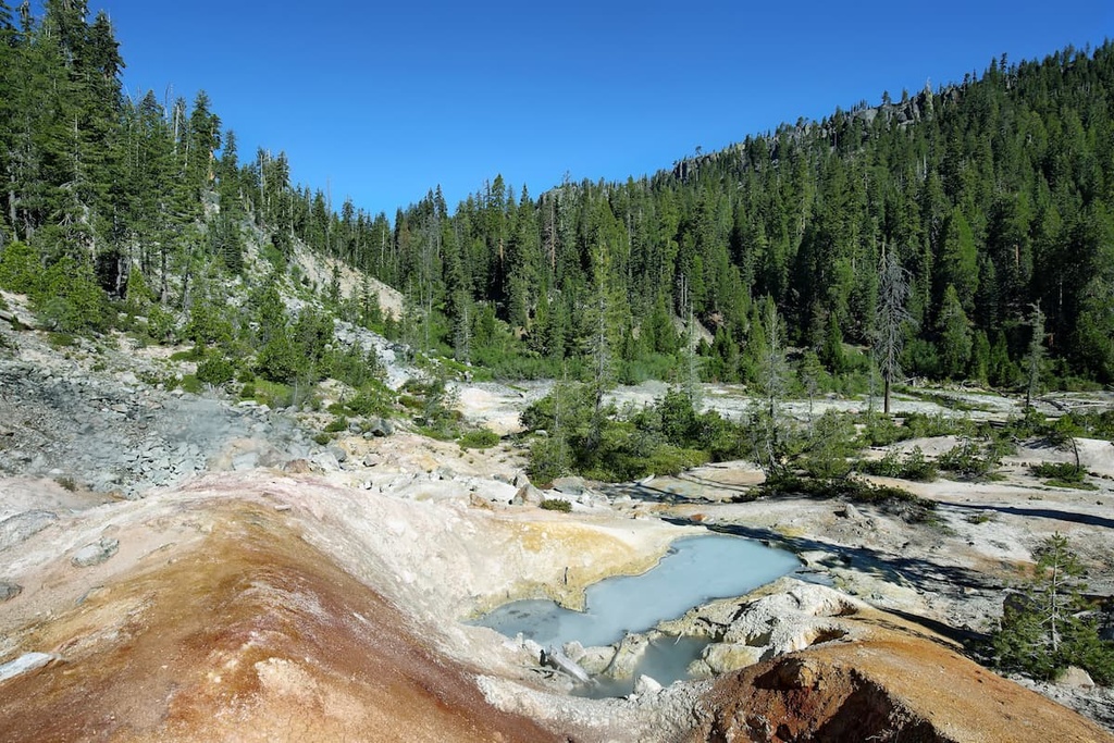
While at the hot springs, hikers can enjoy the scenic views and the stunning volcanic landscape. This route is 4.6 miles (7.4 km) long round-trip and it has 521 feet (159 m) of elevation gain.
The Emigrant and Snag Lake Trail Loop is located in the northeastern corner of the wilderness.
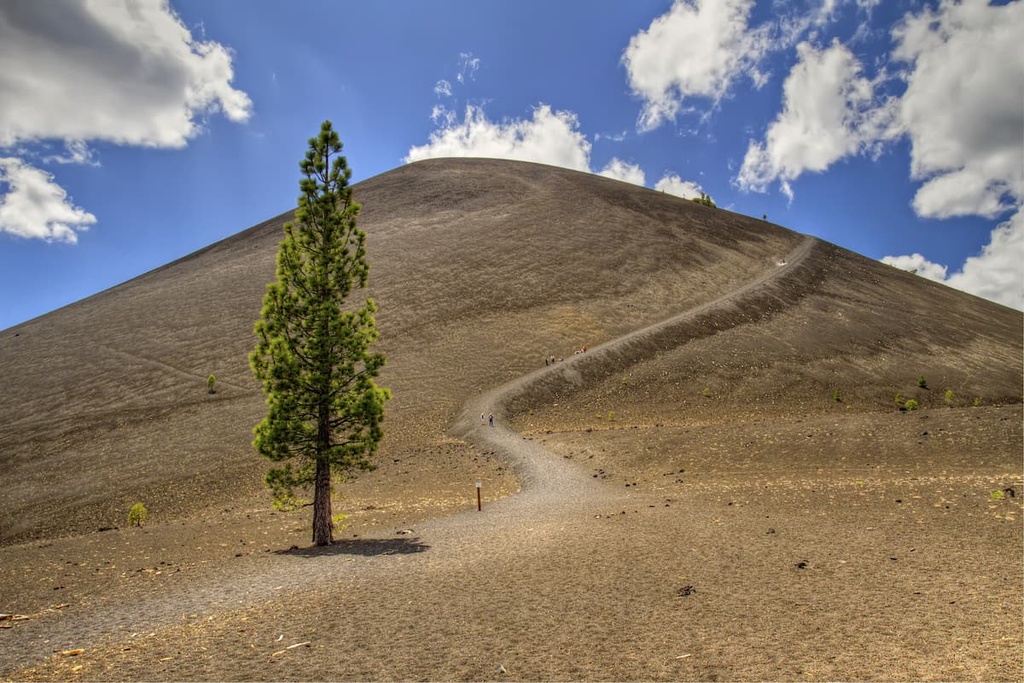
Near the start of the route, hikers have the option to add mileage to their hike by summiting Cinder Cone. The rest of the trail loops around the mountain, passing Butte and Snag Lake in the process. Painted dunes and lava beds are visible throughout this hike, too.
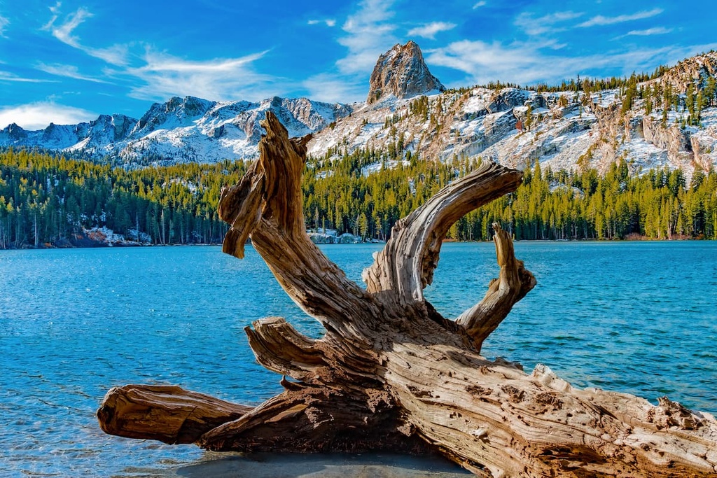
This loop trail is 14.4 miles (23.2 km) long round-trip and it has 1,259 feet (384 m) of elevation gain. The starting point for the hike is Butte Lake Campground, which is also the starting point for the Prospect Peak Trail.
Lassen Peak lies just outside the wilderness within Lassen Volcanic National Park. The trail takes hikers to the summit of the tallest peak in the park, which is still an active volcano. This route is 5.1 miles (8.2 km) long round-trip and it has 1,968 feet (600 m) of elevation gain.
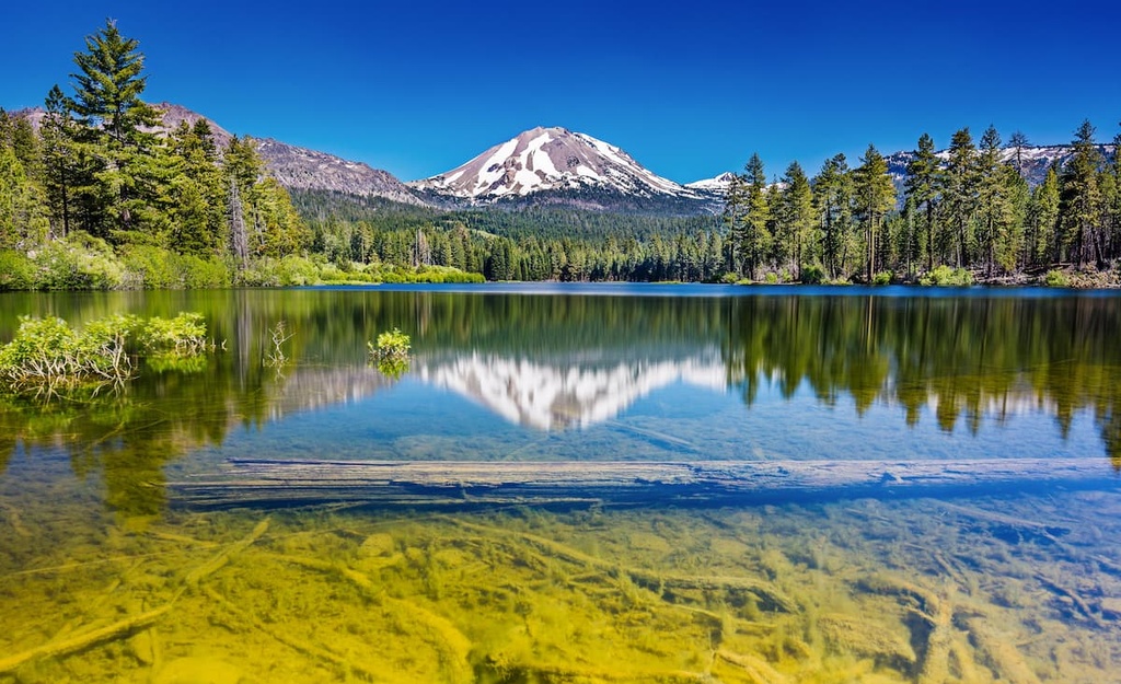
On this hike, you’ll climb steadily into the mountains where there is minimal shade coverage. Some sections of the route feature loose volcanic rocks, to take care as you hike. From the summit of Lassen Peak on a clear day, hikers can enjoy views of Mount Shasta to the north. This trail can be completed in one day or you can use it as part of a longer backpacking trip.
Looking for a place to stay near the Lassen Volcanic Wilderness? Here are some of the best cities and villages to check out in the region.
Chester is the closest town to the Lassen Volcanic Wilderness. The region is home to around 2,200 residents and is situated along the shores of Lake Almanor. Chester was named by two settlers—one from Chester, Missouri, and one from Chester, Vermont.
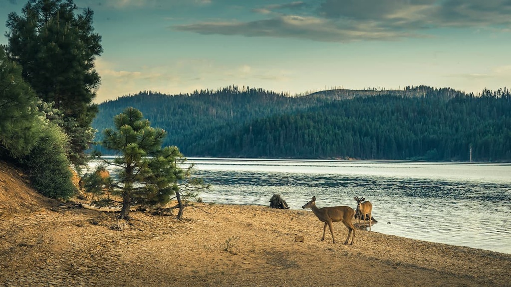
The town of Chester is known for its close proximity to both Lake Almanor and the Lassen Volcanic National Park. The small downtown area of Chester features numerous cafes and restaurants. In particular, the town’s Lassen Gift Company & Soda Fountain is a popular spot amongst tourists.
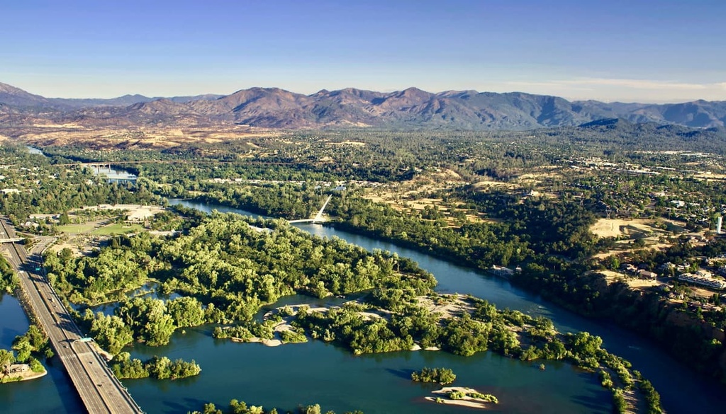
Redding is the closest major city to the Lassen Volcanic Wilderness. The city is situated just a 50-minute drive to the west of the wilderness and is home to around 93,000 residents. Redding is one of the largest cities in northern California, making it the cultural and economic hub of the region.
In recent years, Redding has become a hub for outdoor recreation as it boasts over 300 days of sunshine annually. The national forests that surround Redding provide ample opportunities for hiking, biking, and running.
Scenic Mount Shasta is also situated just north of the city, so there are plenty of options for hiking in the area. Plus, the various lakes, rivers, and reservoirs in the region allow for ample swimming, kayaking, canoeing, boating, and world-class fishing opportunities.
Explore Lassen Volcanic Wilderness with the PeakVisor 3D Map and identify its summits.




cascade-range-9000ers
western-state-climbers
western-state-climbers-emblem
chico-hiking-association
cascade-range-9000ers
western-state-climbers
western-state-climbers-emblem
chico-hiking-association
