Get PeakVisor App
Sign In
Search by GPS coordinates
- Latitude
- ° ' ''
- Longitude
- ° ' ''
- Units of Length

Yes
Cancel
❤ Wishlist ×
Choose
Delete
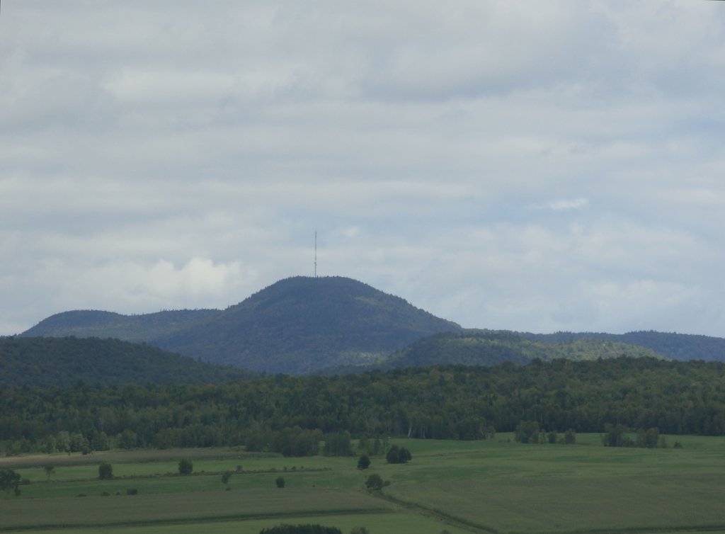
Arthabaska is a regional county municipality (MRC) located in the eastern part of the Canadian province of Quebec. The MRC encompasses mountains that are part of the western reaches of the Canadian Appalachians. There are 17 named mountains in Arthabaska, the highest and most prominent of which is Montagne à Simoneau (623 m/2,045 ft).
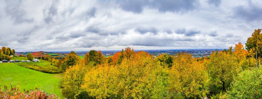
The administrative region of Arthabaska covers 1,910 sq. km (737 sq. mi) of terrain in the south-central part of Quebec, Canada.
Arthabaska is located to the south of the St. Lawrence River and to the east of Montreal, approximately 120 km (74 mi) to the southwest of Quebec City, the provincial capital. Arthabaska is also located just to the north and west of Canada’s international borders with the US states of New York, Vermont, New Hampshire, and Maine.
As a municipalité régionale de comté (regional municipal county), or MRC for short, Arthabaska operates similarly to state counties in the United States. The county seat is in the city of Victoriaville. With 46,000 residents, Victoriaville is the major cultural, economic, and population center of the Arthabaska MRC.
Arthabaska is part of the larger Centre-du-Québec region alongside Bécancour, Drummond, L’Érable, and Nicolet-Yamaska. Extending from the western extent of the Appalachians to the St. Lawrence plains, the Centre-du-Québec region encompasses 6,910 sq. km (4,294 mi) of terrain. It is known as the “breadbasket” of the province due to the diversity and quantity of farmers and producers in the region.
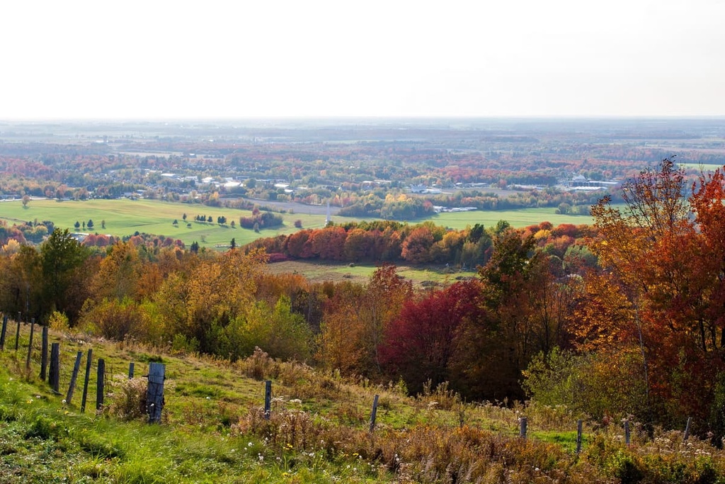
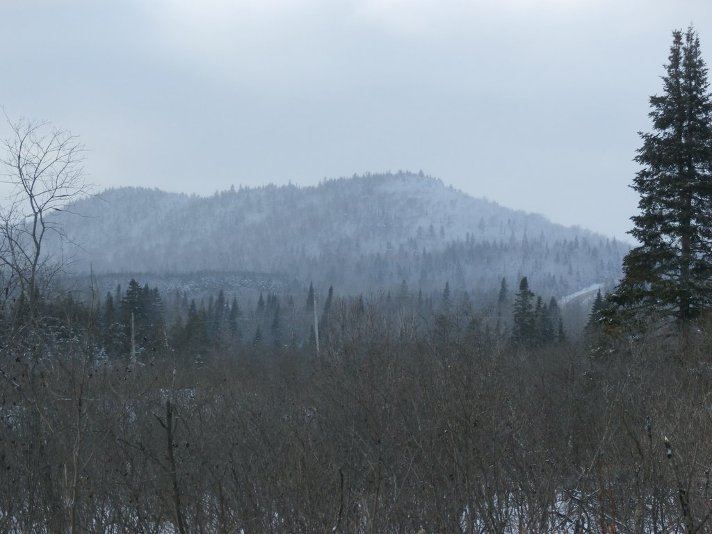
The relatively small mountains that are located within the Arthabaska MRC are part of the Notre Dame Mountains. A subrange of the Canadian Appalachians, the Notre Dame Mountains stretch along the southern shore of the St. Lawrence River toward the Canada–US border, where they join the Green Mountains of Vermont.
As part of the Canadian Appalachians, the modest peaks of Arthabaska belie a history that stretches back eons. We can trace their origins back to the Taconic orogeny—a geological mountain-building event that began about 440 million years ago.
During this time, the ancient continent of North America collided with a number of volcanic island chains. The subsequent folding and subduction of igneous and metamorphic rock in the region gradually uplifted the land that would later become the Appalachian Mountains.
In the millennia that followed, another major geologic event—the Acadian orogeny—led to further igneous intrusions and mountain-building activity in the Appalachians of what is now Canada and the northern United States.
Millions of years of erosion and multiple glaciation events soon followed these periods of mountain building. This erosion transformed the once-lofty peaks of Arthabaska into forested hills that now rise only several hundred meters in elevation.
The Arthabaska MRC is located in the middle of one of Quebec's major agricultural regions. Over the preceding centuries, much of the forest and riparian landscapes found throughout the area have been converted to farmland to produce cranberries, wine grapes, cheese, and maple syrup.
The undeveloped sections of Arthabaska are dominated by dense, mixed forests composed of black spruce, white birch, balsam fir, and sugar maple trees.
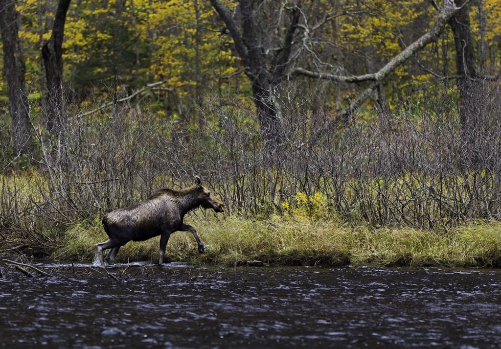
Atlantic salmon, brook trout, and rainbow trout populate the waterways of the region, including Lac Nicolet and the Saint-François River, a tributary of the great St. Lawrence River. Black bears, moose, and deer are also found throughout Arthabaska.
Arthabaska is a Cree word that roughly translates as “where there are reeds.” This area is part of the traditional homelands of the Abenaki peoples.
The Abenaki had been living in the area for hundreds of years before the start of French settlement in the region in the 1600s. To this day, the Abenaki continue to live on their traditional lands throughout Arthabaska and Centre-du Quebec, including on the Wôlinak and Odanak reserves.
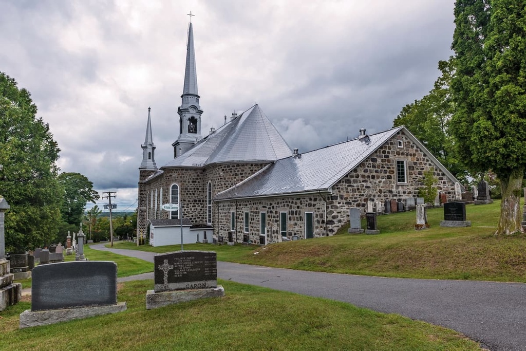
Arthabaska was initially established as a county in 1855. Quebec’s county system was abolished in the 1980s and the county became the Arthabaska Regional County Municipality. During this transition, the northeastern portion of historical Arthabaska County became part of the jurisdiction of L'Érable Regional County Municipality.
Arthabaska has developed a robust agricultural industry over the centuries. The National Institute of Organic Agriculture is located in Victoriaville, along with several other agricultural research centers. The region's diversity of farms, producers, and artisans has cultivated a robust agritourism industry that brings many tourists to the MRC each year.
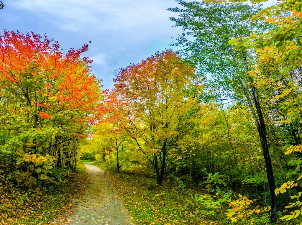
Quaint villages with excellent access to trails and forests make Arthabaska an idyllic place for hiking and outdoor recreation. Here are some of the best hikes to check out during your next visit to Arthabaska.
Beginning in Victoriaville at Mont Arthabaska and traveling 26 km (16 mi) to the village of Trottier, the Sentier des Trotteurs is one of the best hiking experiences in the MRC.
Located within Mont Arthabaska Park, just outside Victoriaville, Sentier Le Grand Tour is a 5.1 km (3.2 mi) loop that takes you through the forested slopes of Mont Arthabaska.
Those looking for a longer hike can link up the Grand Tour with other trails that wind around the mountain, including La 4 Saisons (2.8 km/1.7 mi) and La Romantique (2.4 km/1.5 mi). During the winter months, the trails and slopes of Mont Arthabaska are also excellent destinations for snowshoeing and cross country skiing.
The Jardins et Sentier Les Pieds d’Or is a 5 km (3.1 mi) long trail that begins in the small town of Tingwick.
It features dozens of art arrangements including rock gardens, waterfalls, and a Japanese garden, all of which were designed by local artists and community members. In the winter, visitors can visit the area via a marked snowshoeing trail.
Arthabaska is dotted with small towns and villages that feature bed and breakfasts, farm stays, and historic hotels. Here are some of the many destinations that you can check out during your next trip to the region.
Victoriaville is a charming, vibrant city, surrounded by mountains and small farms. It offers endless opportunities for year-round outdoor pursuits.
In particular, Victoriaville is famous for its excellent cycling infrastructure as there are nearly 60 km (37 mi) of bike paths that weave through the city. Victoriaville is also connected to Route Verte, a network of cycling routes that spans nearly 5,034 km (3,128 mi) across the entire province of Quebec, making the city a popular stop for cycle tourists.
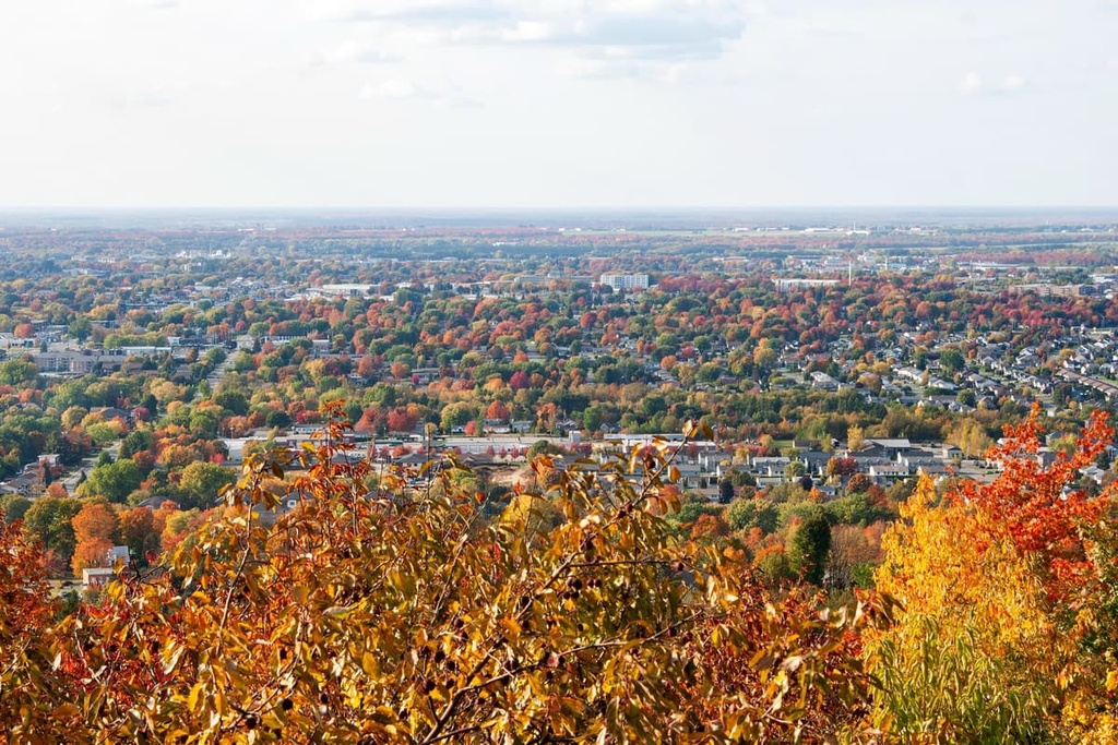
Victoriaville has a rich architectural heritage and is also the home of fine art museums such as the Musée Laurier and the Musée de l’Hôtel des Postes. The accommodations at Auberge Motel Hélène and Hôtel Le Victorin both offer great access to Victoriaville and the surrounding area, including Mont Arthabaska Park.
The municipality of Chesterville is located in the heart of Arthabaska’s Appalachians. Its welcoming, small-town charm is complemented by a robust arts and culture scene. Events like the Symposium l’Accueil des grands peintres and Clairière Art et Nature are not to be missed during a trip to Chesterville.
Like Victoriaville, Chesterville has fantastic cycling opportunities. It is also popular with fishers and hikers who are eager to explore the Appalachians. Visitors to Chesterville can stay year-round at The Val Chester Outdoor Center. The center features camping and cottages right on the shores of the Nicolet River that are surrounded by the forests and peaks of the Appalachians.
The provincial capital of Quebec City is located a 90-minute drive from Arthabaska. With an international airport and solid rail network, the city is the point of arrival for many coming to explore Arthabaska and the greater Centre-du-Quebec region.
Quebec City combines its old-world charm with endless nightlife and culinary opportunities. If you’re visiting the city, be sure to plan for a few days of exploring its cobblestone streets and bistros before driving or cycling the 136 km (85 mi) to the southwest to take in the views of the Arthabaska MRC.

Explore Arthabaska with the PeakVisor 3D Map and identify its summits.


