We use necessary cookies to make the website work, also they are used to understand site usage and make improvements.
Accept
Reject
PeakVisor
Explorer
Explorer
Ski Map
Hike Map
3D Map
Get PeakVisor App
Sign In
Search by GPS coordinates
Teleport
Latitude
N
S
°
'
''
Longitude
E
W
°
'
''
Units of Length
m/km
ft/mi
Explorer
Ski Map
Hike Map
3D Map
Search by GPS coordinates
Settings
Sign In
Contact us
GPS coordinates
Settings
Share
×
Copy Link
Copy Coordinates
Facebook
Twitter
Email
Scan the QR code and open PeakVisor on your phone
❤ Wishlist
×
Choose
Delete
Lisa Cook
Mountain
12
Mountain Hut
0
Mountain pass
2
Lake
0
Ultra
0
Highest check-in
Peak:
Myrtle Point
Elevation:
1 991 m
Most prominent check-in
Peak:
Waterrock Knob
Prominence:
596 m
14 check-ins
By Date
By Date
By Elevation
By Prominence
Flower Gap
1713626006
1 765 m
Pilot Mountain
1712421151
1 555 m
(prom:
169 m
)
John Rock
1709400219
978 m
(prom:
32 m
)
Beacon Heights
1696445614
1 335 m
(prom:
54 m
)
Devils Courthouse
1696263517
1 752 m
(prom:
37 m
)
The Pinnacle
1695481302
1 475 m
(prom:
12 m
)
Looking Glass Rock
1692550497
1 210 m
(prom:
268 m
)
Black Balsam Knob
1687974121
1 894 m
(prom:
302 m
)
Tennent Mountain
1687969993
1 848 m
(prom:
48 m
)
Browning Knob
1687719924
1 903 m
(prom:
55 m
)
Waterrock Knob
1684087231
1 918 m
(prom:
596 m
)
Blackrock Mountain
1665949708
1 760 m
(prom:
53 m
)
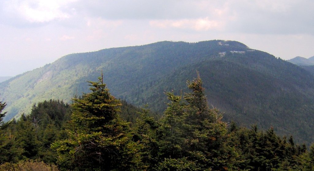
Myrtle Point
1663326694
1 991 m
(prom:
23 m
)
Buck Spring Gap
1631388810
1 518 m
North Carolina 5000-foot Peaks
All summits:
7 out of 232
Southern Appalachian 6000-foot Peaks
All summits:
5 out of 56
Tennessee 4500-foot Peaks
All summits:
1 out of 82
South Beyond 6000
All summits:
3 out of 41
USA
Independent peaks:
1 out of 7529
North Carolina
Independent peaks:
1 out of 92
Tennessee
Appalachian Mountains
Independent peaks:
1 out of 672
Blue Ridge Parkway
Independent peaks:
1 out of 6
Great Smoky Mountains National Park
Nantahala National Forest (Nantahala Ranger District)
Pisgah National Forest
Shining Rock Wilderness
All summits:
1 out of 23
PeakVisor for iOS and Android
Be a superhero of outdoor navigation with state-of-the-art 3D maps and mountain identification in the palm of your hand!
Scan the QR code to download PeakVisor mobile app