Get PeakVisor App
Sign In
Search by GPS coordinates
- Latitude
- ° ' ''
- Longitude
- ° ' ''
- Units of Length

Yes
Cancel
❤ Wishlist ×
Choose
Delete
Planeiler Berge - Montagna di Planol is a remote mountain group located primarily in South Tyrol, Italy, in the southwestern Ötztal Alps. The group contains 49 peaks. Palla Bianca is the highest (3,738 m / 12,264 ft) and most prominent (571 m/1,873 ft) peak. It sits on the border of Italy and Tyrol, Austria.
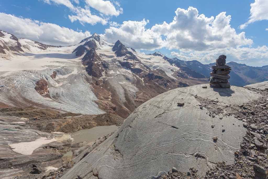
Planeiler Berge - Montagna di Planol in South Tyrol, Italy, is a remote mountain group of the Ötztal Alps.
The mountain group consists of two ridges running southwest from the Weißkamm Ridge and bordering the Planol valley. A third and smaller ridge extends from the northwest of the group. Glaciers remain but only on slopes with northern exposure. Meanwhile, high plateaus serve as summer pasture for cattle and horses.
The tallest peak, Palla Bianca or “Weißkugel” in German, rises to 3,738 m (12,264 ft). It is the second-tallest mountain in the Ötztal Alps and the third-tallest mountain in Austria. The heavily glaciated massif lies within Naturpark Ötztal.
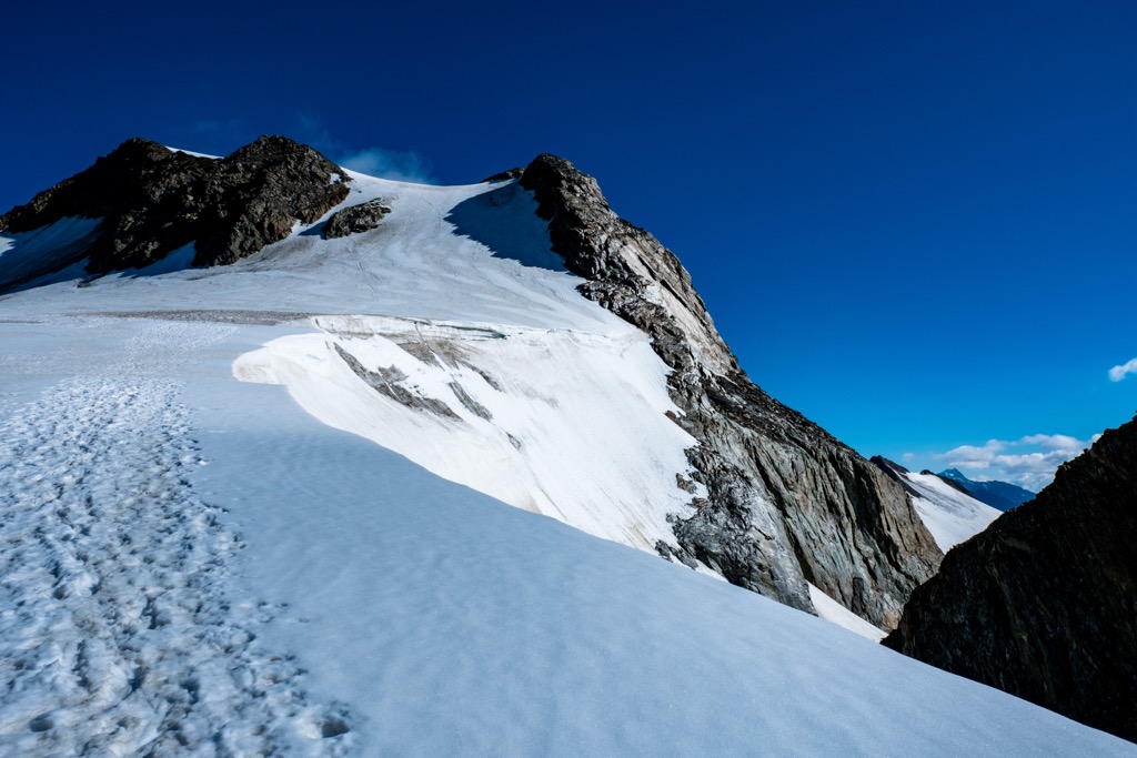
There are a number of hiking trails throughout the Planeiler Berge, though the region is notably less trafficked than other parts of the Alps. Nevertheless, hikes here are easily accessible and well-known for their panoramic views of the valley and surrounding mountains. The most popular area is Spitzige Lun/Piz Lun. The best ski touring options are in the north and east of Planeiler Berge.
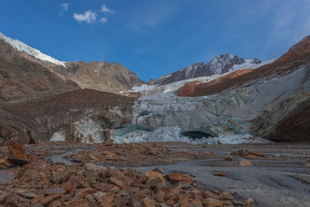
Planeiler Berge is a subgroup of the Ötztal Alps, part of the greater Eastern Rhaetian Alps and the European Alps.
The Öztzal Nappe is the primary geologic feature in the Ötztal Alps, consisting of a thrust sheet of pre-Mesozoic gneiss and schist basement rocks overlaid by Mesozoic sediment. The range has been shaped significantly by glaciers and ice sheets. Many lakes and carved-out valleys remain a testament to these once-great glaciers of yesteryear.
The Alps formed during the Alpine Orogeny, a mountain-building event that occurred as the African and Eurasian plates collided and which has been ongoing since the Cretaceous. Most mountain building occurred between 65 and 2.5 million years ago, although the mountains continue to slowly uplift. However, the uplift rate no longer outpaces erosion, and the Alps are not considered a growing range. Additionally, geologists have attributed the recent uplift to a rebounding effect as the Alps spring back after the weight of the last ice age’s ice sheet melts away.
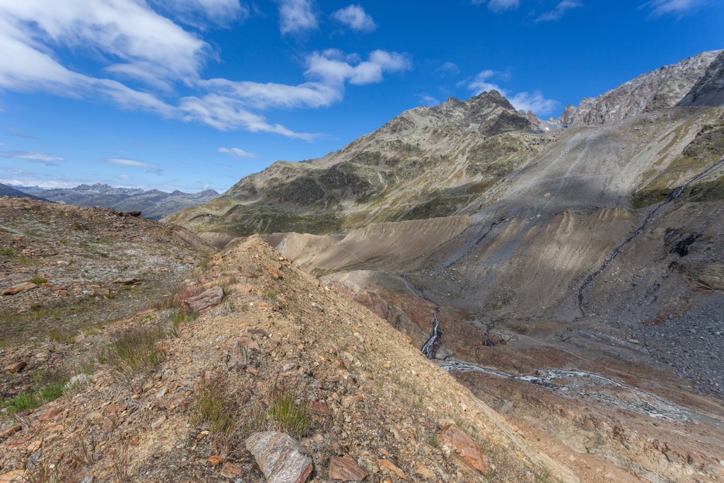
In the Planeiler Berge and surrounding mountains of the Ötztal Alps, common spruce grows abundantly in the montane zone, with silver fir and common beech appearing sporadically. Larch also grows well in lower-elevation forests.
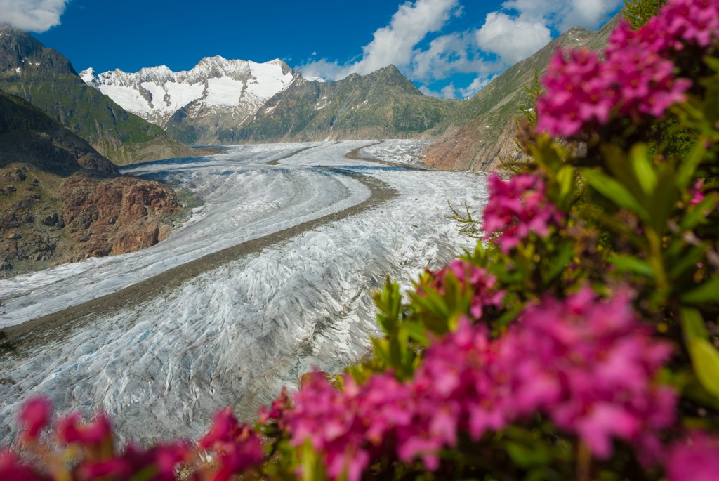
Swiss pine grows in the subalpine with dwarf-shrub heath in the undergrowth. Other plants include blueberry and bilberry bushes, rusty-leaved alpenrose, and alpine clematis. In some areas, the alpine zone supports dwarf-shrub heath, rusty-leaved alpine rose, and Siberian juniper.
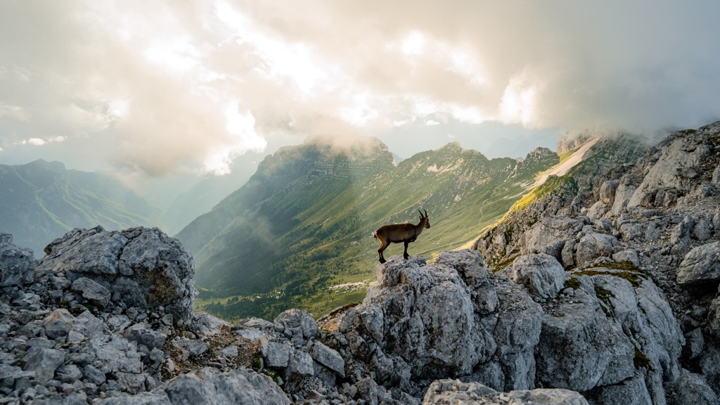
Marmots, red deer, roe deer, chamois, and ibex live in the forests and alpine zones. Birdlife includes golden eagles, bearded vultures, snow finches, spotted nutcrackers, white-throated dippers, capercaillies, and eagle owls. Several species of amphibians and reptiles live in the mountains, including the alpine newt, the common frog, the dark brown common lizard, and the European viper.
The first summit of Palla Bianca is credited to either Joseph Anton Specht, guided by Leander and Nicodem Klotz in 1861, or to the guides of Archduke John of Austria, Johann Gurschler, and Josef Weitthalm. The Archduke’s personal notes suggest his guides had climbed the mountain in 1846.
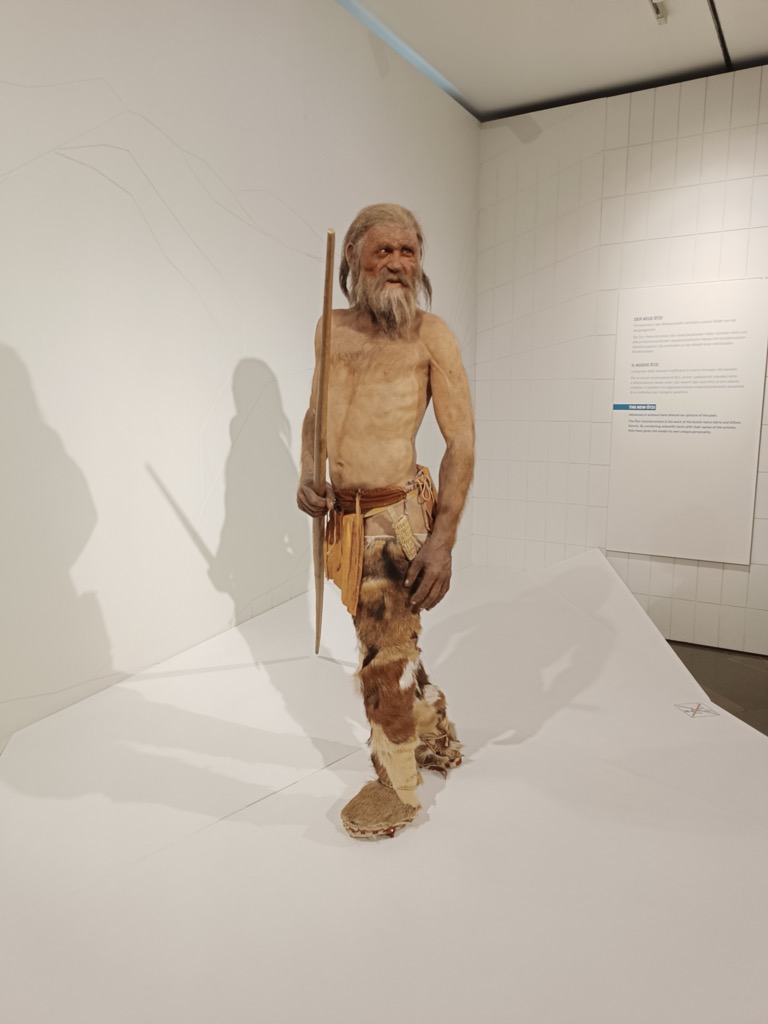
The region of South Tyrol was settled at least 5,300 years ago, as evidenced by Ötzi the Iceman, found preserved in receding glacial ice in the mountains nearby. Throughout history, the region shifted between ruling political parties. From 400 BC until the 5th century CE, the Romans and Rhaetians ruled South Tyrol.
The Habsburg Empire gained power in 1363, and the region remained under Habsburg rule until Italy annexed it in 1919 at the end of World War I. Villages throughout South Tyrol still bear clear signs of their medieval origins and prosperity throughout history from trade routes and carry on the tradition of alpine farming.
Trails in the Planeiler Berge don’t get many visitors, making them an excellent destination for those looking for more secluded hikes. The exception is the scenic Spitzige Lun/Piz Lun. In winter, ski touring offers the same appeal of less traveled routes through the scenic southwestern Ötztal Alps. The Planol Hut sits above the Planol Valley, overlooking the Valvel Peaks and the Swiss Val Müstair.
The tallest peak in the range, Palla Bianca, is easiest approached from the south side. There are two huts nearby – Lazaunhütte and Oberetteshütte.
Check out our PeakVisor app for Peak Identification, 3D mapping, personalized route-finding, and adventure tracking, all with our Augmented Reality technology. The app is compatible with most smartphones and serves as your own mountain guide. Moreover, the “Discover” feature allows you to find the best trails in an area, whether planning a trip in advance or from the parking lot when you arrive.
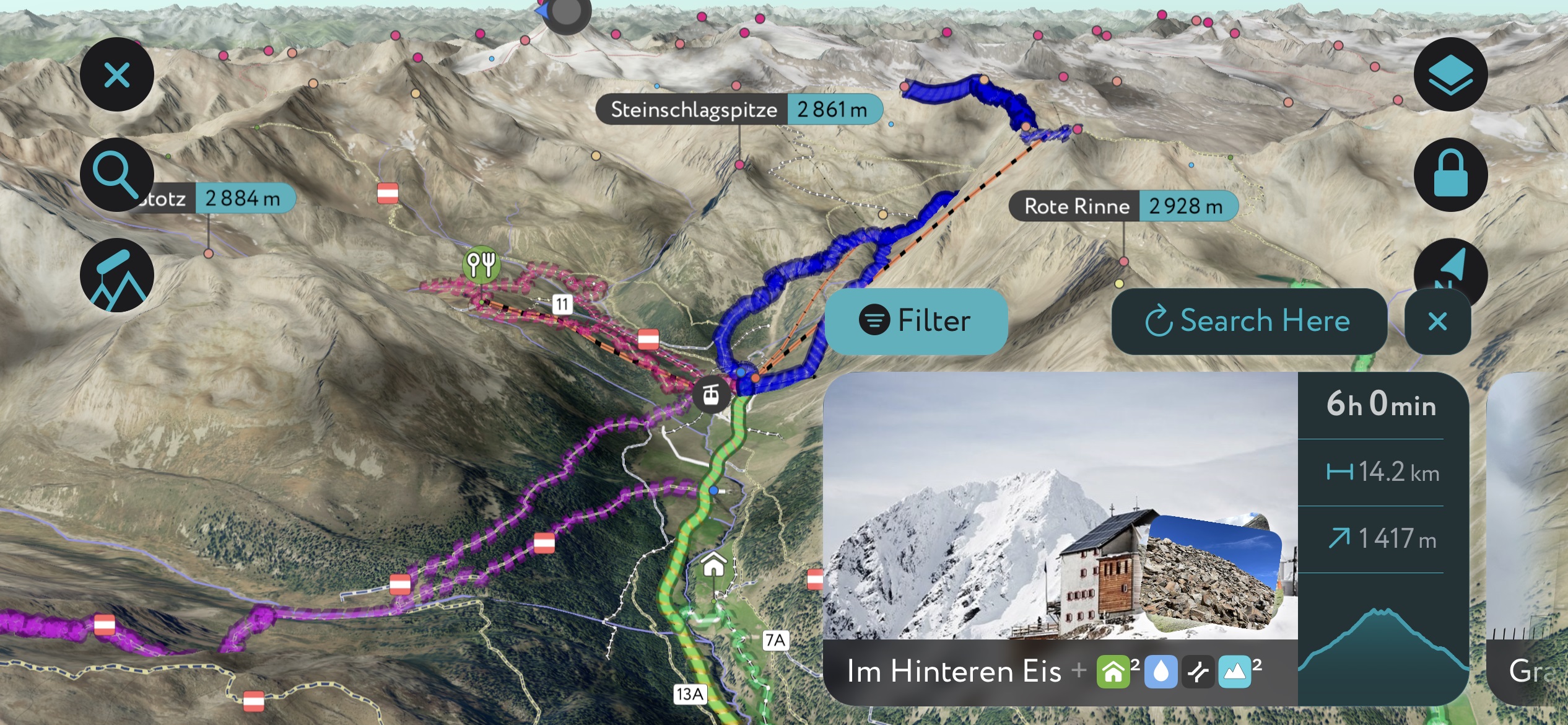
The scenic Spitzige Lun (2,324 m / 7,625 ft) rises over the village of Mals/Malles. Routes to the summit start from Mals, Matsch/Mazia, and Planeil/Planol. The mountain is mainly forested, with only the top poking above treeline. One loop route starts in Mazia at the Matsch Dorf car park, follows trail 13 by Plantavillas, and crosses Croce Tartscher before summiting. The loop is 12.7 km (7.9 mi) with 865 m (2,840 ft) of elevation gain.
For those looking for something longer, Spitzige Lun marks the start of a ridge traverse from which the views are incredible. The ridge climbs Niederjoch (2,460 m / 8,071 ft) and Hochjoch (2,575 m / 8,448 ft) before reaching the summit of Jafant. From above treeline, one can see the Ortler Alps to the south, the Ötztal Alps to the north and east, the Sesvenna Range to the east, and sweeping views across the Vinschgau Valley/Val Venosta.
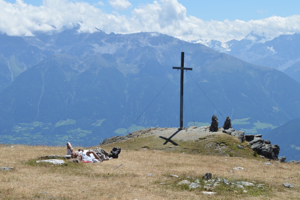
Piz Schludernskirche is an excellent example of one of the beautiful but less trafficked hikes of the Planeiler Berge. This small mountain lies tucked between larger peaks of the Upper Vinschgau Valley. A small chapel at the summit dates to 1492. Views from the top take in Ortles Massif to the south, Furkelspitze to the west, and Valvel Spitze to the north. The hike departs from the village of Schluderns at the mountain's base.
Winter opens the mountains to ski tours, many of which let you enjoy the mountains with little company. The route from Planeil to Hochjoch is 9.2 km (5.7 mi) out and back, with a 1,008 m (3,307 ft) climb and ski descent. The climb and descent are north-facing, and this route will likely hold cold, winter snow.
Starting in Planeil, the route crosses to the forest trail before meeting hiking trail 12A. At this point, it turns uphill and later passes the Orggleshütte trail junction. At around 2,010 m (6,595 ft) elevation, the route leaves the hiking trail and heads steeply uphill above the Orggleshütte to reach the final ridge to the summit.
Another ski tour starts in Planol and climbs Danzebell—Cima Dentrovalle (3,143 m / 10,312 ft). This 23 km (14 mi) out-and-back route has a 1,553 m (5,095 ft) elevation gain, making it a big mission for fit ski tourers.
The first 6 km (3.7 mi) are easy, passing through the valley until the mountains tighten into a gorge. From here, the route climbs to reach the valley leading to Danzebell. From the valley, the route zigzags left and then right to reach the final steep ascent to the top.
The climb and descent are south-facing from this valley, so heads up for snow heating up during the day. There are plenty of options for beautiful north-facing descents as well, but you’ll end up in a completely different valley from where you started.
Mals/Malles Venosta is a cluster of several villages: Alsago, Burgusio, Clusio, Laudes, Malles, Mazia, Piavenna, Slingia, and Traces. Mals once sat along a Roman road, but its origins date back to medieval times. The village of Malles is well known for its spired churches, towers, and remnants of 9th-century frescoes in the Church of Saint Benedict.
If you’re hiking Spitzige Lun/Piz Lun, Glorenza/Glurns is worth visiting after your hike. The small town in South Tyrol peaked in the Middle Ages and still has its fortified wall and historical buildings in the town center. Bolzano is a larger city less than 1.5 hours away by car.
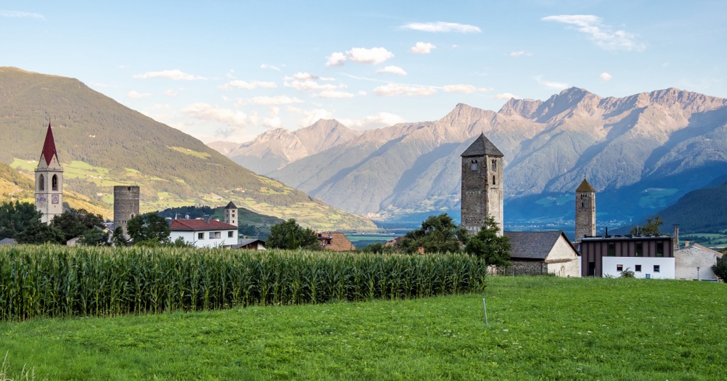
The first reference to Glorenza/Glurns is from 1304. This historic town in the Upper Venosta Valley has 900 inhabitants and served as an important trade center during medieval times. Situated along the Via Claudia Augusta trade route, it was a significant hub in the salt trade. A complete fortified wall still encompasses the small city center. Glorenza boasts arcades, porticoes, villas, churches, and a castle, indicating the city’s wealthy history.
Turreted buildings and painted frescoes ring the main square, Piazza della Cittá. A boarded walkway runs around the city walls, and the town houses a small museum dedicated to Paul Flora (1922 - 2009), a famous caricaturist and graphic designer. Glorenza’s best-known church, Chiesa di San Pancrazio, sits outside the walls on the other side of the River Adige.
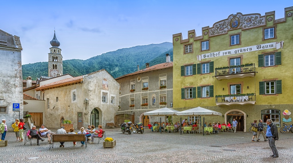
Bolzano is the largest city in South Tyrol, with a population just shy of 110,000. The city is sometimes called the gateway to the Dolomites and has lots to offer regarding access to the mountains and culture. Few cities of this size and cultural diversity have such excellent access. It is rich with German, Italian, and Austrian influences, making it culturally unique in Italy. For these reasons, along with Innsbruck, Austria, and Grenoble, France, Bolzano is one of the capitals of the Alps.
There’s impressive architecture, such as the largest Gothic church in South Tyrol and the Franciscan Friary. In winter, the city’s historic center houses Italy’s largest Christmas market. The Archeological Museum in town details the region's history dating back to the Stone Age.
Surrounded by mountains, you can take the Funivia Colle-Bolzano cable car up to Colle dei Contadini, a village about an hour’s walk from the city. The Dolomites are nearby, offering everything from easy hikes around Lake Garda to more challenging summit hikes.
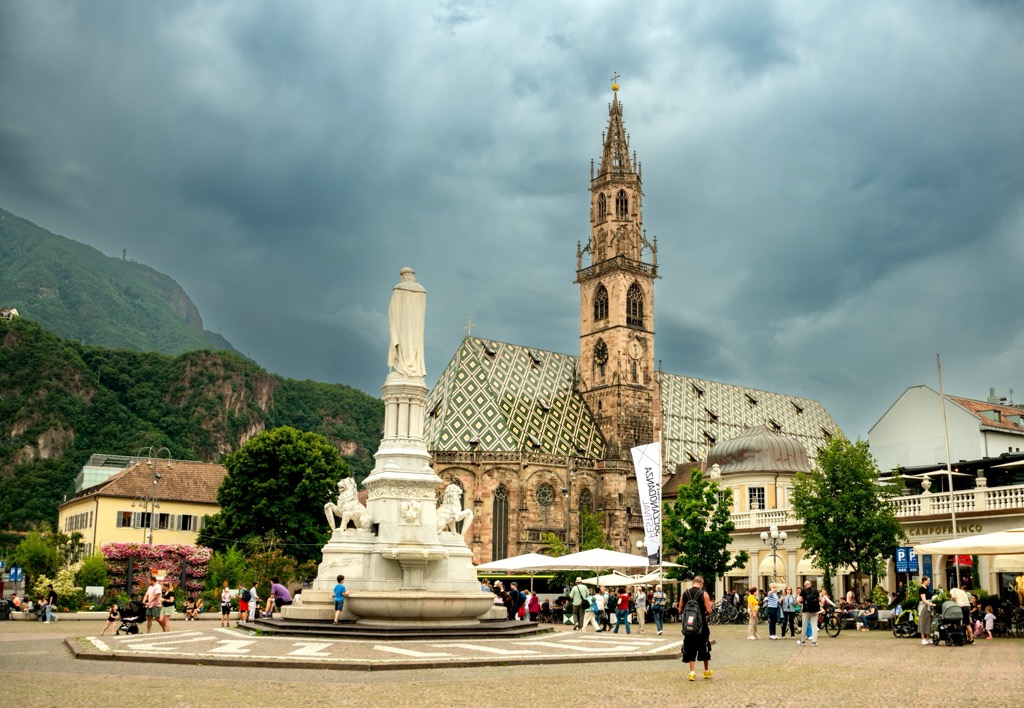
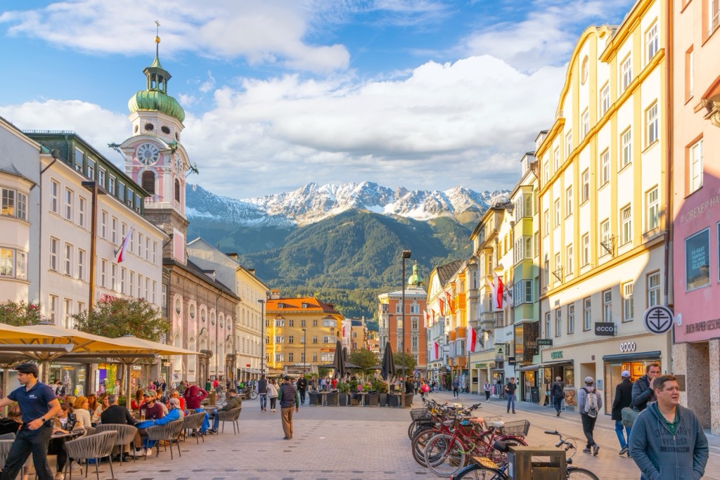
With a population of over 310,000, Innsbruck is an excellent destination for culture, nature, and proximity to mountain sports. It is the second-largest city in the Alps, after Grenoble, France, but arguably offers better mountain access. The city lies in a valley with steep mountains rising steeply around it; cable cars like the Nordkette and Patscherkofel provide quick access to the slopes for hiking, skiing, mountain biking, and paragliding.
Visitors can stroll through Old Town or pay a few Euros to climb the Town Tower. The Hofkirche church has 28 bronze statues, while the Cathedral of St. James exhibits Baroque architecture. The Schloss fortress, a medieval fortress turned Renaissance castle for Archduke Ferdinand II’s wife, displays armor and artwork. Innsbruck hosted the Winter Olympics in 1964 and 1976 and the 1984 and ‘88 Winter Paralympics; the stadiums still host sports events.
Purchasing an Innsbruck Card is a worthwhile investment if you want to go to multiple museums, ride some cable cars, and have free transport on buses, trams, and bikes. The passes can be purchased for 24, 48, or 72 hours.
Innsbruck is a 30-minute drive from both Italy and Germany. Trains arrive from Venice, Munich, Salzburg, and Zurich. The city also has a small but busy international airport and is a launching point for the famous Tyrolean ski resorts.
gd2md-html: xyzzy Wed Aug 07 2024
Explore Planeiler Berge - Montagna di Planol with the PeakVisor 3D Map and identify its summits.


