Get PeakVisor App
Sign In
Search by GPS coordinates
- Latitude
- ° ' ''
- Longitude
- ° ' ''
- Units of Length

Yes
Cancel
❤ Wishlist ×
Choose
Delete
The Lofer Mountains (Loferer Steinberge), or the Loferer Mountains, are a mountain range in the Northern Limestone Alps. Known for their extensive karst cave systems and jagged summits, the Lofer Mountains are an underrated destination, whether hiking, biking, skiing, or climbing. There are 94 named mountains in the Lofer Mountains. The highest and the most prominent mountain is the Großes Ochsenhorn (2,511 m / 8.245 ft).
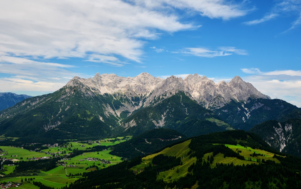
The Lofer Mountains are located entirely within Austria, across the states of Tyrol and Salzburg. The range spans approximately 20 km (12.4 mi) from east to west between the Saalachtal and the Leukental and is roughly 10 km (6.2 mi) from north to south from Lofer town to the Römersattel (1,203 m / 3,950 ft).
It's a compact mountain range with a central massif and main ridge running from east to west and several minor side ridges to the north and south. The central massif spans from Heimkehrerkreuz (2,037 m / 6,683 ft) to Vorderhorn (2,110 m / 6,922 ft).
To the west of the central massif is the Kirchbergstock, a low limestone massif often considered part of the Lofer Mountains with a maximum height of around 1,700 m (5,577 ft). It's well-known for the Öfenschlucht, a charming gorge carved by the Haselbach River. The easternmost area of the Lofer Mountains is part of the Saalforste, which forms part of the Bavarian State Forests — the only forest of its kind not located in Bavaria.
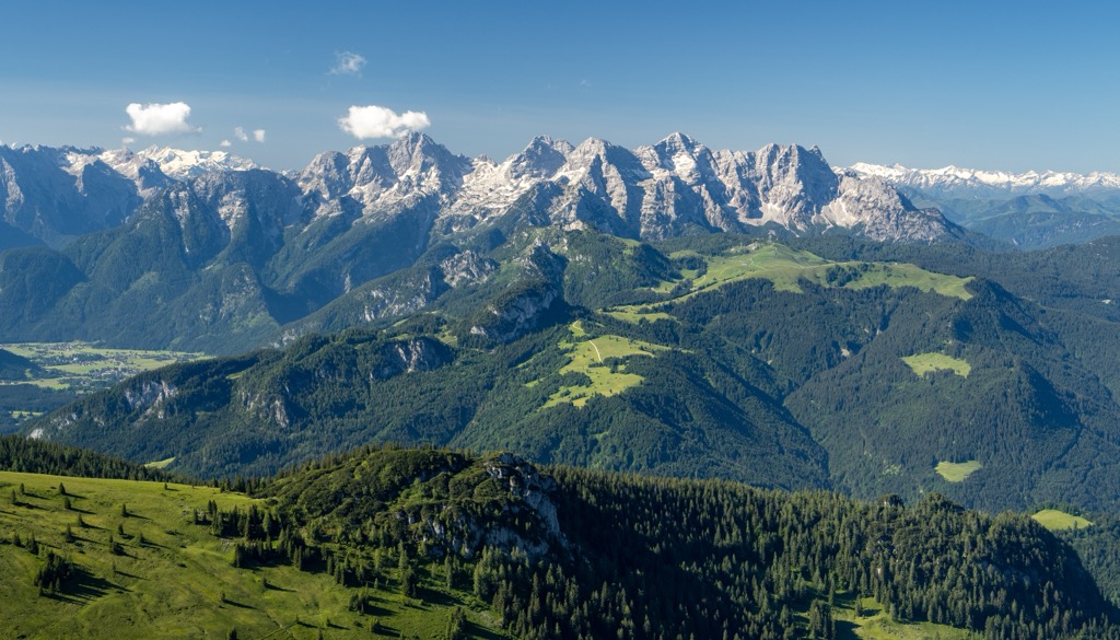
The Lofer Mountains are bordered by five other mountain ranges within the Austrian Alps:
Most of these ranges are part of the Northern Limestone Alps and are relatively low, having been heavily eroded over millions of years. The Lofer Mountains are the fourth-highest range in the immediate vicinity — none of its summits exceed 2,550 m (8,366 ft) in elevation.
The Lofer Mountains’ karstic limestone structure gives them a distinctive topography consisting of sublime cirques, high plateaus, rugged cliffs, and deep sinkholes connected to underground cave systems. The most famous cave in the Lofer Mountains is the Prax Ice Cave (Prax Eishöhle) in Salzburg, which can be accessed on a pre-booked tour.
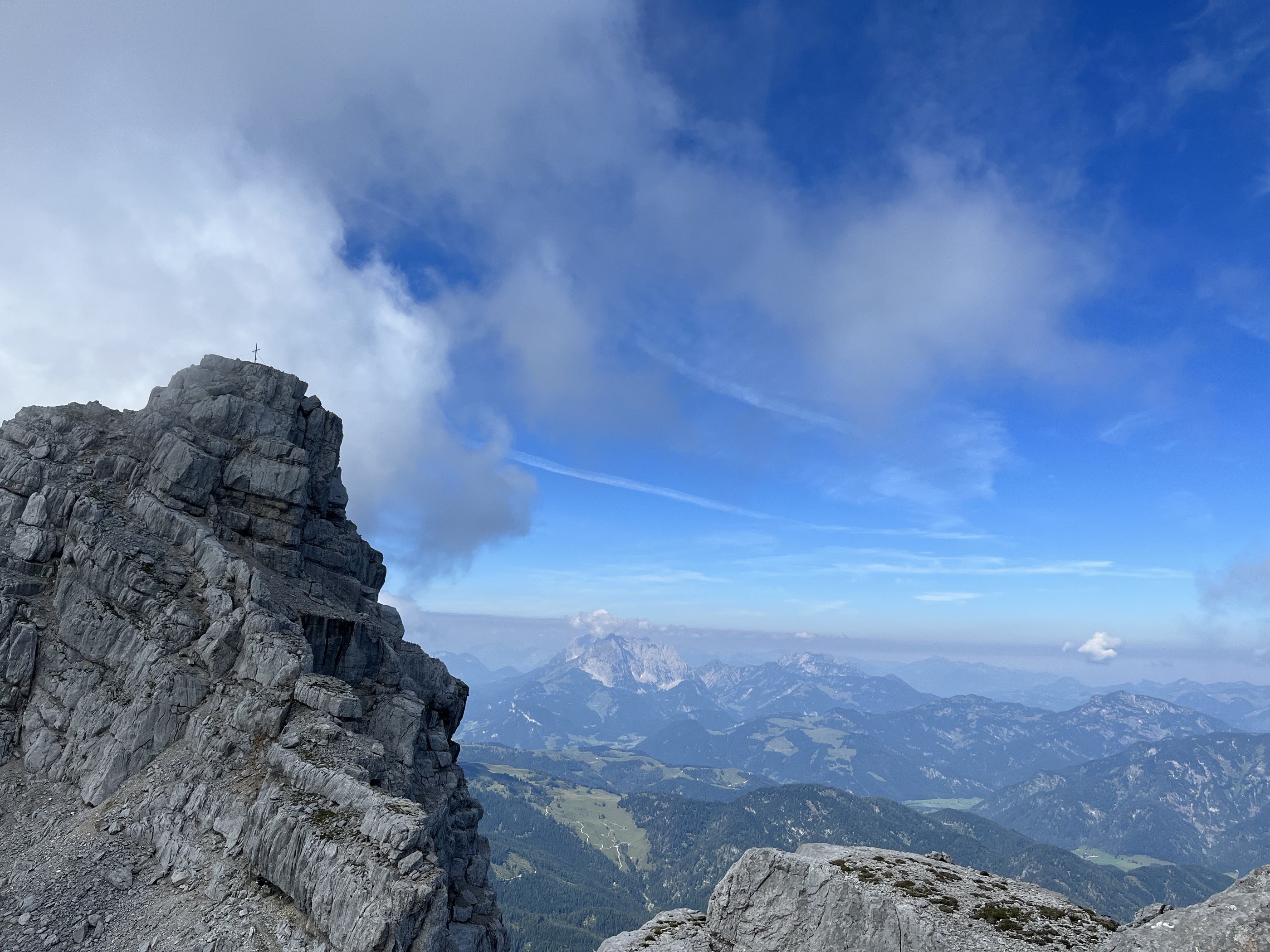
Numerous rivers and streams zig-zag across the Lofer Mountains; however, few to no lakes exist. The largest lake nearby is Pillersee, sandwiched between the Lofer Mountains and the Kitzbühel Alps. It has a surface area of around 24.3 ha (60 acres).
The Schmidt-Zabierow-Hütte (1,965 m / 6,450 ft) is the only mountain hut operated by the Austrian Alpine Club in the Lofer Mountains and is where many of the range's best tours begin. It's located less than 2 km (1.2 mi) northwest of the Großes Ochsenhorn.
Sankt Ulrich am Pillersee is the only significant settlement on the Lofer Mountains' interior, with a population of around 1,800. The largest town on the Lofer Mountains’ border is Sankt Johann in Tirol, with over 9,400 people. Other notable settlements include Waidring, Fieberbrunn, and Lofer.
The Lofer Mountains are geologically closely related to the Leogang Mountains. Due to their similar composition, they're sometimes collectively referred to as a single subgroup called the Steinberge (Stone Mountains).
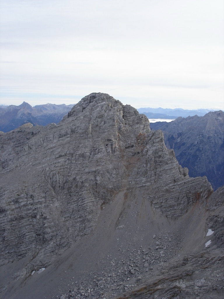
The Steinberge's base, which is around 600 m (1,968 ft) in elevation, is composed of slate dating back to the Upper Permian and Lower Triassic, around 250 million years ago.
Above its slate base, the Lofer Mountains are formed from alternating layers of sedimentary rock, primarily limestone and dolomite. Directly above its slate base is a layer of porous limestone and dolomite called roughwacke or rauwacke.
Above 1100 m (3,608 ft) in elevation is a band of main dolomite (hauptdolomit) and Rassau dolomite, the latter of which is extremely brittle and prone to erosion. There's also a band of marl around this elevation.
These rock bands, collectively known as Raibl Formations, date back between 235 and 228 million years. They were formed by sediment deposited in retreating seas that were subjected to renewed flooding and are highly erodible.
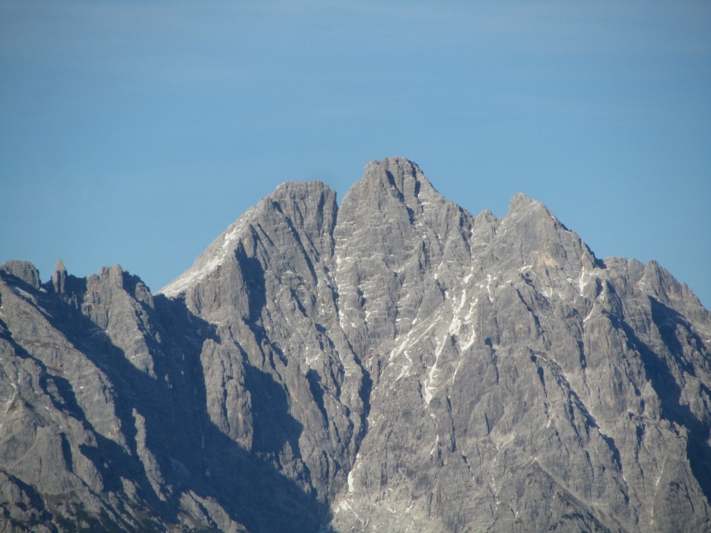
The highest layer in the Lofer Mountains is a 500-m (1,640-ft) thick slab of Dachstein limestone. The erosion of this layer during the last glacial period created many of the mountains’ most famous cirques, including Wehrgrube.
Geologists have determined that ice reached up to 2,000 m (6,561 ft) elevation during the last glacial period; however, few permanent ice fields remain. One notable example is within the cirque of the south side of the Mitterhorn (2,483 m / 8,146 ft).
With a mix of habitats, including alpine pastures, dense forests, and rocky mountainsides, the Lofer Mountains’ wildlife is typical of the Northern Limestone Alps.
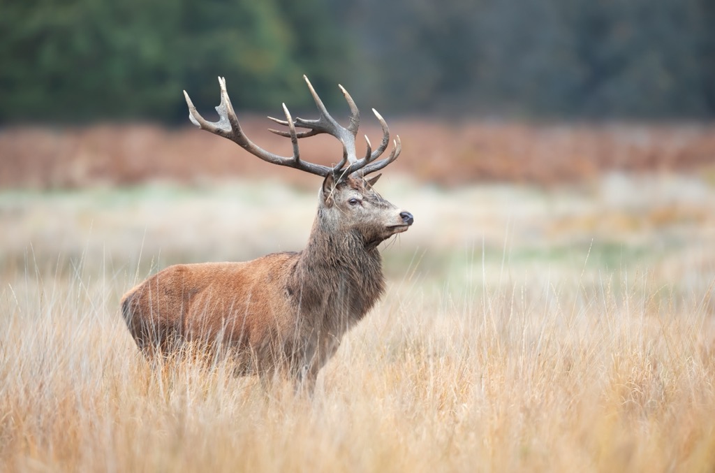
Common mammals in the Lofer Mountains include red deer, roe deer, chamois, Alpine marmots, red squirrels, beech martens, European badgers, and hedgehogs. There are thought to be fewer than 100 wolves in Austria, with no packs inhabiting the Lofer Mountains.
The rocky slopes of the Lofer Mountains, coupled with the dense Saalfroste Bavarian State Forests on the range's eastern edge, are ideal habitats for various bird species. One of the most famous birds nesting within the Lofer Mountains is the golden eagle, which can have a wingspan of up to 2.3 m (7.5 ft).
Other notable bird species in the Lofer Mountains include locally endangered black grouses, capercaillies, black woodpeckers, boreal owls, Alpine choughs, Alpine swifts, rock ptarmigans, and crag martins.

European common adders are the only venomous snakes within the Lofer Mountains. They can inhabit areas up to 3,000 m (9,842 ft) in elevation and are usually found hiding under rocks or in bushes. Their bite is painful and requires medical treatment but is rarely fatal.
Notable insects within the Lofer Mountains include common blue butterflies, red admiral butterflies, meadow grasshoppers, western honey bees, and rosalia longicorns.
Austria is one of Europe's most heavily forested countries, with over 48% woodland coverage. The Lofer Mountains’ slopes are no exception — they're heavily forested up to over 2,000 m (6,561 ft) in elevation.
The eastern edge of the Lofer Mountains is part of the 185 sq km (71.4 sq mi) Saalforste within the Bavarian State Forests. Most forests at low elevations in the Lofer Mountains consist of beeches, firs, and spruces.
Higher up the mountain slopes, hardy Scots pines can withstand temperatures up to -64° C (-83° F) and are found near the tree line.

Above the treeline, the forests give way to alpine pastures and rocky cliffs interspersed with flowering plants and dwarf shrubs. A surprising variety of vibrant flowering plants live in these harsh conditions, including Bavarian gentians, glacial buttercups, edelweiss, monkshood, primula, and yarrow.
Due to their low elevation and relative ease, the Lofer Mountains’ first ascents are not well-documented. Most of the mountains were likely first completed by locals and hunters centuries ago. That said, there are several recorded first tourist ascents of the Lofer Mountains.
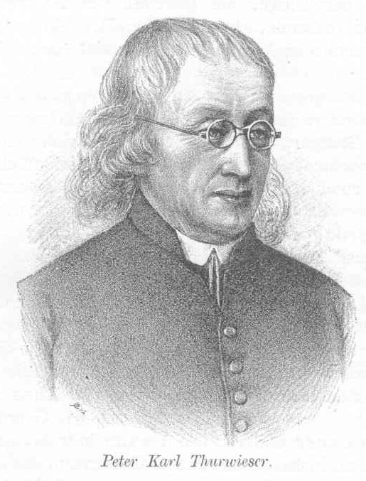
For example, on September 27, 1833, Peter Karl Thurwieser made the first tourist ascent of the Mitterhorn. This ascent helped popularize the Lofer Mountains as a tourist destination.
An Austrian Catholic priest, Thurwieser made many of the first tourist ascents in the Eastern Alps, including the Ankogel (3,252 m / 10,669 ft), the Dachstein (2,994 m / 9,826 ft), and the Ackerlspitze (2,329 m / 7,641 ft). He is also the namesake of the Thurwieserspitze (3,657 m / 12,001 ft) in the Ortler Alps.
In 1888, the Passau branch of the German Alpine Association (DAV) took control of managing the Steinberge, helping improve its infrastructure and increase its popularity with tourists. The Schmidt-Zabierow-Hütte was opened in 1899, improving access to the range for casual alpinists.
During the interwar period in the early 20th century, the Lofer Mountains attracted the interest of renowned climbers, most notably Willy Merkl, who died during the first German-American expedition to Nanga Parbat (8,125 m / 26,660 ft) in 1934.
Today, mountaineers still often overlook the Steinberge, mainly because there are few cable cars to shorten ascents and few places to spend the night in its interior.
The Lofer Mountains are potentially dangerous despite their relatively low height, thanks to their rugged composition and low-grade rock climbing routes.
When hiking in the Lofer Mountains, bring appropriate climbing equipment and plenty of provisions. Also, inform others of your itinerary, check local weather forecasts, and carefully map your route. Due to rockfalls, we highly recommend wearing a helmet.
You can learn more about the International Climbing and Mountaineering Federation (UIAA) rock climbing scale mentioned in this guide here. You'll find information on via ferrata gradings here.
At PeakVisor, we love information. That’s why we write articles like this one.
Check out the PeakVisor app for even more information on thousands of additional hikes, ski tours, and ski resorts across the Alps. In fact, we’ve compiled information on all publicly maintained walking tracks worldwide, formatted onto our 3D maps.
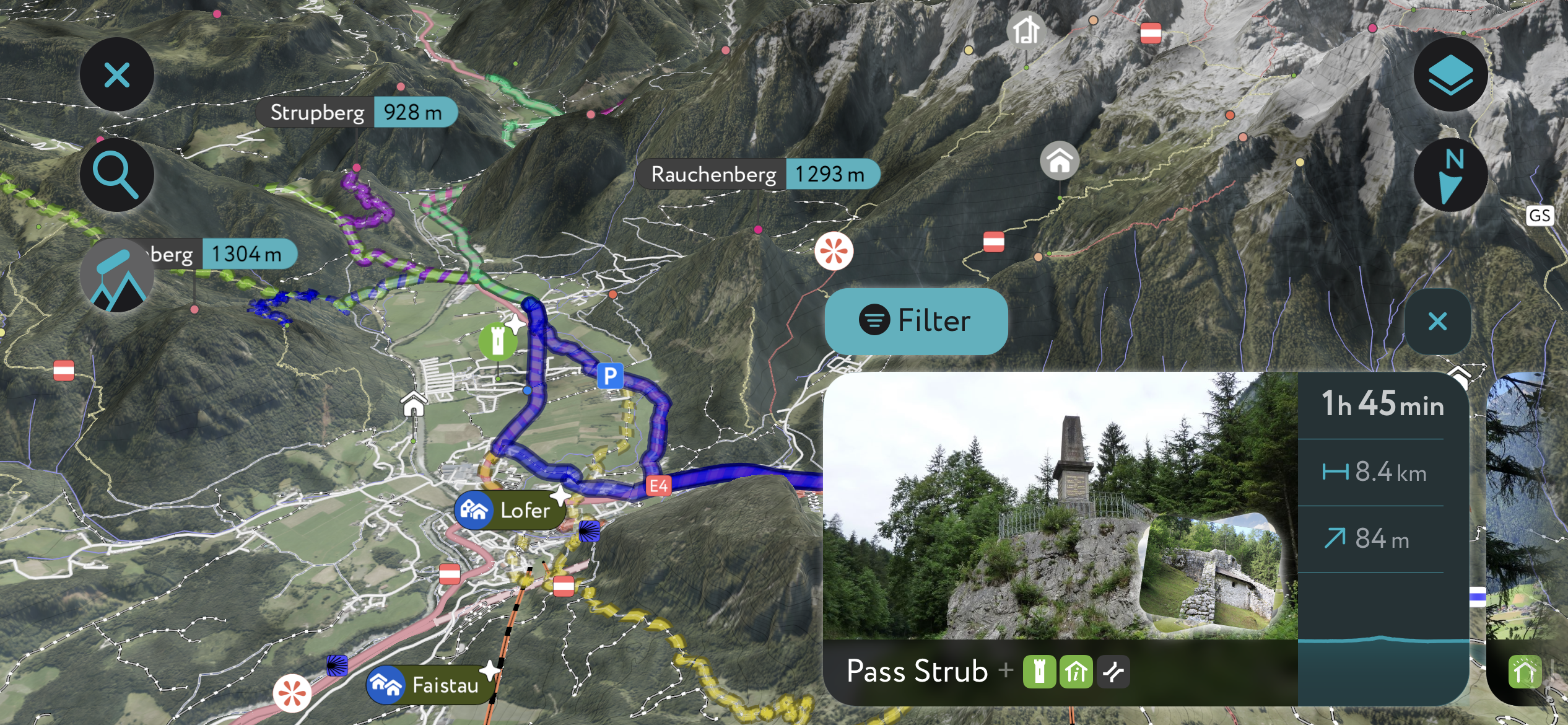
PeakVisor started as a peak identification tool but we’ve evolved into purveyors of the finest 3D maps available. We continue to expand our offerings. You can track your hikes directly on the app, upload pictures for other users, and keep a diary of all your outdoor adventures.
Most recently, the PeakVisor App has included up-to-date weather reports, including snow depths, at any destination. We've also been hard at work adding the details of hundreds of mountain huts, including information on overnight accommodation, dining options, and opening hours. You can also use our Hiking Map on your desktop to create .GPX files for routes to follow later on the app.
The Großes Ochsenhorn (2,511 m / 8.245 ft) is the Lofer Mountains’ highest summit, located on the eastern side of the main ridge. Its rugged peak rises from three surrounding high cirques: Sneegrube to the north, Wehrgrube to the northwest, and Fellerer Sand to the south. To the east is the Ochsenhorn Ridge with its two minor summits, the Mittleres Ochsenhorn (2,365 m / 7,759 ft) and the Voderes Ochsenhorn (2,292 m / 7,520 ft).
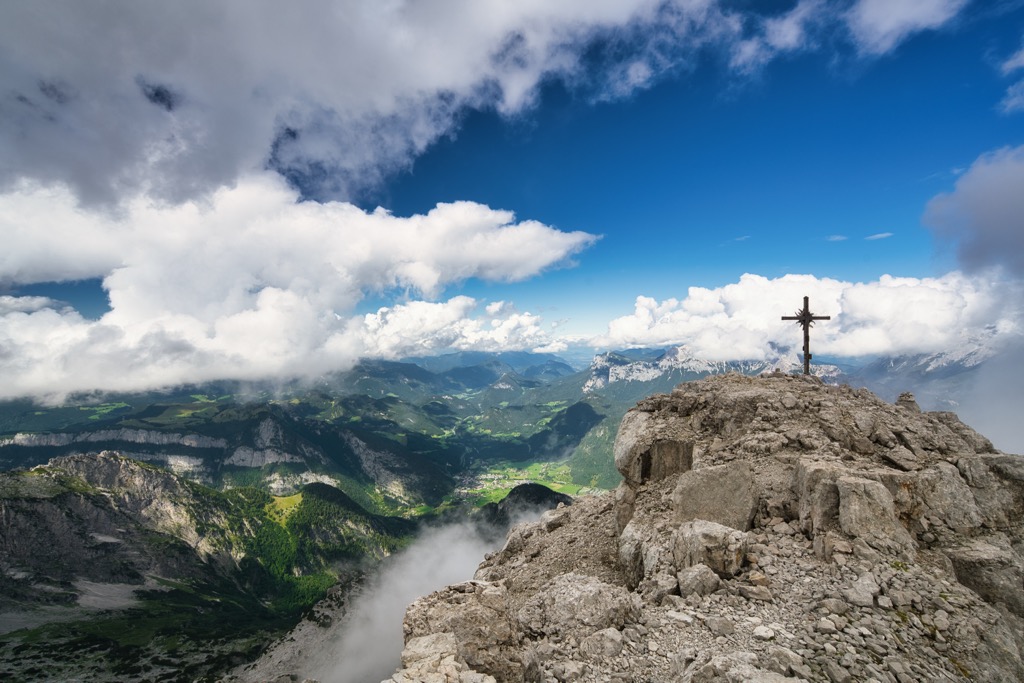
The Großes Ochsenhorn's rocky mountainsides make it a popular climbing destination, and its normal hiking route can be completed at a leisurely pace over two days via the Schmidt-Zabierow-Hütte (1,965 m / 6,450 ft).
Sure-footedness and a head for heights are needed when hiking the Großes Ochsenhorn. The normal route is a marked trail from Parkplatz Loferer Hochtal in Lofer to the northeast. This route features an easy UIAA grade I climbing section. Red arrow markers guide the way.
After spending the night or resting at the Schmidt-Zabierow-Hütte, continue along the trail to the Großes Ochsenhorn's summit. The summit provides incredible views of the Saalachtal, with the High Tauern visible to the south.
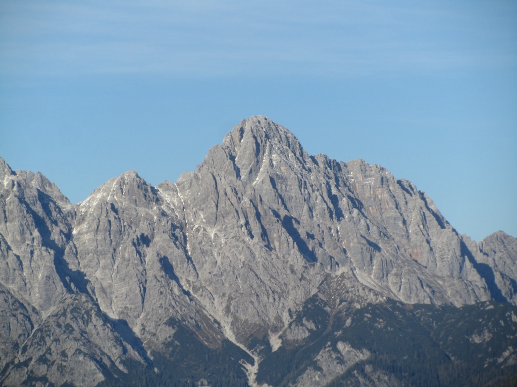
You'll descend via the Sattelhornsattel (2,092 m / 6,864 ft) and the Ludwig-Rieger-Biwak (1,765 m / 5,791 ft) to return to your starting point. The Großes Ochsenhorn's normal route from Loferer Hochtal is approximately 13 km (8 mi) long.
The Mitterhorn (Großes Hinterhorn) (2,483 m / 8,146 ft) is the second-highest summit in the Lofer Mountains, located roughly 2.5 km (1.6 mi) northwest of the Großes Ochsenhorn.
Its attractive pyramidal shape makes it a much sought-after mountain to climb. From the summit, you'll be treated to views as far as Lake Chiemsee, the High Tauern, and the Kitzbühel Alps. It's one of several peaks along the long-distance Nuaracher Höhenweg.
You can reach the Mitterhorn on a day hike from Loferer Hochtal. This hike takes around nine hours, so you may opt to complete it in two days, spending a night at the Schmidt-Zabierow-Hütte.
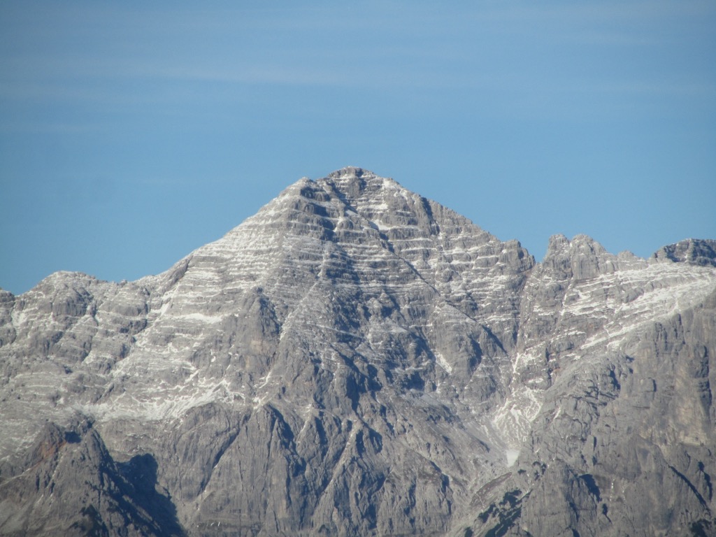
Follow trial no. 601 to the hut and then no. 612 to reach the Waidringer Nieder (2,304 m / 7,562 ft). From the Waidringer Nieder, it's possible to take a detour to the Breithorn (2,413 m / 7,917 ft). It's also possible to take a different route to Mitterhorn by climbing a C/D graded via ferrata up Nackter Hund (2,372 m / 7,782 ft)
To descend, you'll briefly follow the Nuracher Höhenweg, circling south to the Wehrgrubenjoch (2,218 m / 7,277 ft) and back to the Schmidt-Zabierow-Hütte. The hike from Loferer Hochtal to the Mitterhorn (Großes Hinterhorn) is approximately 12.5 km (7.7 mi) long.
The Buchensteinwand (1,462 m / 4,797 ft) is the most popular mountain in the Lofer Mountains outside the range's central massif. It's situated approximately 6.5 km (4 mi) southwest of the main massif in the PillerseeTal and is considered a standalone mountain of the Kirchbergstock.
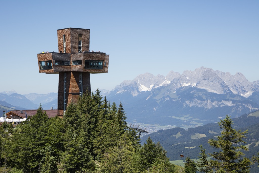
The Buchensteinwand is famous for being home to the largest accessible summit cross in the world, Jakobskreuz, which stands 30 m (98 ft) tall. From the Buchensteinwand's summit, you'll have views of the Wilder Kaiser and the Leogang Mountains, with Großglockner (3,798 m / 12,461 ft) visible in the distance.
Aside from its summit cross, the Buchensteinwand is popular for several reasons. It's one of few summits in the range accessible by cable car and is easily reachable from three nearby towns. Plus, it's topped with a restaurant, Das Weitblick, where you can enjoy a meal with a view.
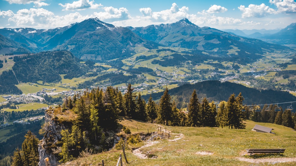
Several paths lead to the Buchensteinwand's summit, including the popular Wanderweg Kröpfalm. You can pick up this trail from Talstation Ulrich from Sankt Jakob in Haus. The trail is straightforward, leading directly up the mountainside following a similar route to the cable car.
The hike to the Buchensteinwand on the Wanderweg Kröpfalm is approximately an 8.2 km (5 mi) round-trip.
Kalkstein (Baumooskogel) (1,506 m / 4,941 ft) is another excellent mountain to climb if you want to explore the Kirchbergstock to the west of the Lofer Mountains’ central massif.
Kalkstein is partly popular due to its proximity to Sankt Johann in Tirol, which is less than 3.5 km (2 mi) to the west. Its views are another reason it's popular — the summit provides unbeatable views of the Leukental and iconic mountains like the Kitzbüheler Horn (1996 m / 6,549 ft).
The best way to climb Kalkstein (Baumooskogel) is from Sankt Johann's main square. The trail leads through Mitterndorf before crossing the Krebsbach River and passing Hinteraisglau (860 m / 2,282 ft). You'll pass Lietnalm and Baumoosalm on the way to the summit.
To return to your starting point, you'll descend south over the rocky slopes of Rote Wand and via the hamlet of Scheffau. This looped trail from Sankt Johann to Kalkstein (Baumooskogel) is approximately 16 km (10 mi) long.
Look no further than the Nuaracher Höhenweg if you're searching for a multi-day climbing expedition in the Lofer Mountains. Bring via ferrata equipment and helmets when attempting the Nuaracher Höhenweg, as it includes several secured and unsecured rope sections.
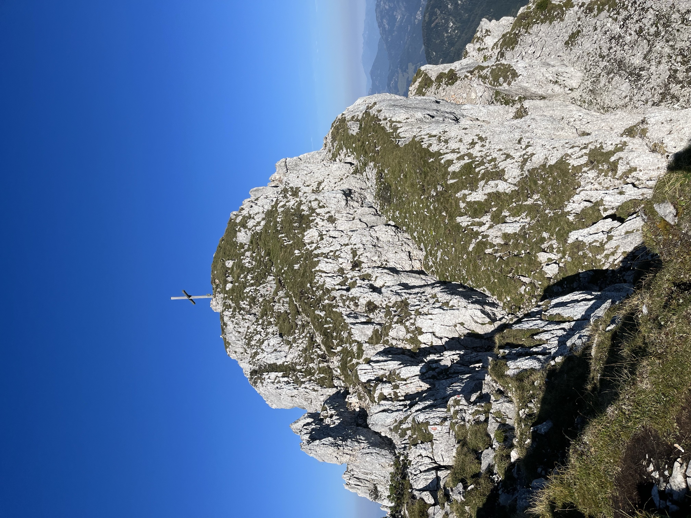
Covering 18.5 km (11.4 mi) and usually completed in two days, the Nuaracher Höhenweg is a circular trail culminating in the Mitterhorn, with several UIAA I-graded climbs and B+ graded via ferratas to overcome along the way. The trail takes its name from Nuarach, the old name for Sankt Ulrich am Pillersee.
From the Ortisei Parkplatz along Brunnerau Dorfstraße, follow trail no. 612 over Bräualm and onto the ridge, reaching the Nuaracher Höhenweg's first summit, Heimkehrerkreuz (2,037 m / 6,683 ft).
You'll continue along the ridge, climbing the Seehorn (2,155 m / 7,070 ft) before crossing the Adolarischarte (2,115 m / 6,939 ft) to Schaflegg (2,176 m / 7,139 ft). The ridge features several secured rope sections.
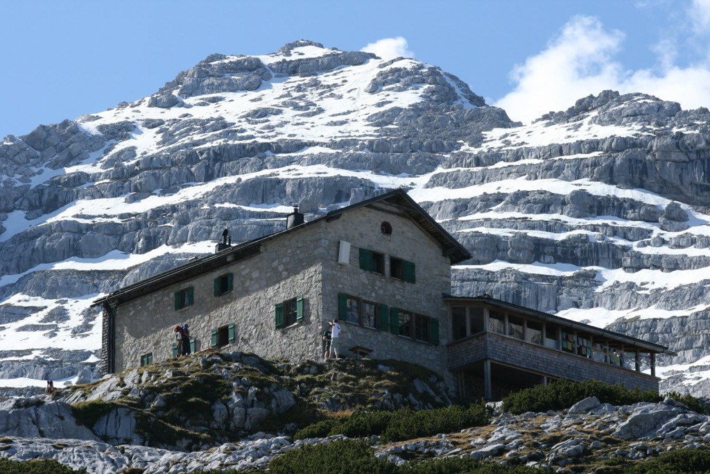
From Schaflegg, you'll leave the ridge, walking on the eastern side of Rothörndl (2,395 m / 7,858 ft) before scaling the Großes Rothorn (2,409 m / 7,904 ft) and the Östliches Rothorn (2,404 m / 7,887 ft).
From the Ulricher Nieder (2,314 m / 7,595 ft), you can climb the Nackter Hund via ferrata or follow the normal red-marked route to reach the Mitterhorn. After a short detour to spend the night at the Schmidt-Zabierow-Hütte, you'll descend via Wehrgrubenjoch (2,218 m / 7,277 ft) and Ulricher Grube to return to Sankt Ulrich am Pillersee.
The only significant ski area entirely within the Lofer Mountains is the Buchensteinwand (Pillersee) ski area. It features 21 km (13 mi) of slopes and 9 ski lifts.
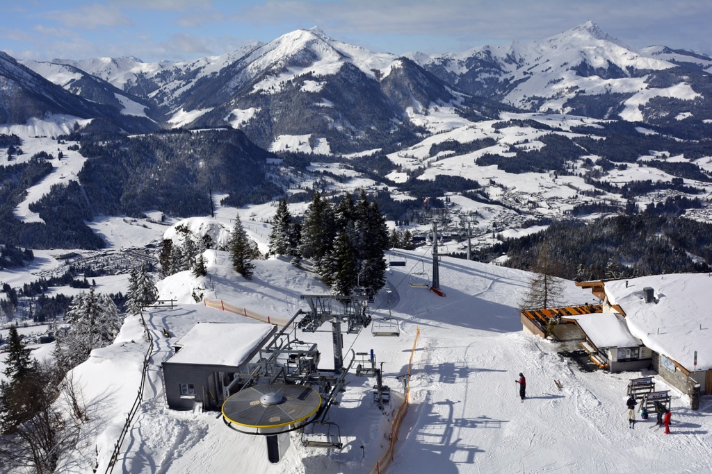
Another notable nearby ski resort is Skialm Lofer, which, despite its name, is located in the Chiemgau Alps. It has 46 km (28.5 mi) of slopes and 10 lifts.
With its dramatic cirques and high plateaus, the Lofer Mountains offer some of the finest ski tours in the Northern Limestone Alps.
Despite a lack of ski infrastructure and lifts, the Loferer Skihörndl is regarded by some as one of the finest ski tours in the entire Eastern Alps. Steep snow-covered slopes lead up to the difficult cirque at Schihörnl (2,286 m / 7,500 ft), from which the descent is perfect, with steep gullies followed by plenty of tree skiing.
You can pick up this ski tour from the Parkplatz Loferer Hochtal. Start by following signposts for the Schmidt-Zabierow-Hütte before turning left on the narrow summer path into the forest. The route leads via Kleine Wehrgrube and the avalanche-prone flank of Großes Reifhorn (2,488 m / 8,163 ft).
Only experienced skiers should undertake this difficult ski tour — there have been fatalities along this route on the narrow ledges and within the steep forest before the Schwarzwand. Some of the steepest areas are best traversed on foot, especially in spring when there's less snow. The Loferer Skihörndl ski tour is approximately 5 km (3.1 mi) long.
Consider a ski tour of the Sattelhorn (2,055 m / 6,742 ft) if you're looking for a less crowded and slightly less challenging ski tour in the Lofer Mountains.
This ski tour will be familiar if you've hiked the Lofer Mountains, as it follows the route from Kirchental near Lofer past the Maria Kirchental Church and steeply uphill to Große Schneegrube. Then you'll climb uphill onto the Sattelhornsattel (2,092 m / 6,864 ft) just above the Sattelhorn.
The Sattelhorn is a great vantage point for scoping out the Loferer Skihörndl, with Schihörndl clearly visible from the summit. You can descend on the slopes of Lärchhörndl (1,859 m / 6,099 ft) into forests below 1,500 m (4,921 ft), from which you can return to your starting point. This ski tour of the Sattelhorn is approximately 15 km (9.3 mi) long.
From the lakeside municipality of Sankt Ulrich to the picturesque market town of Sankt Johann, the Lofer Mountains offer no shortage of idyllic vacation spots.
Salzburg Airport is the nearest international airport to the Lofer Mountains, 55 km (34 mi) northeast of Sankt Ulrich am Pillersee.
Sankt Johann in Tirol is the largest settlement in the Lofer Mountains, with a population of over 9,400. It's on the western edge of the range, bordering the Kaiser Mountains to the west and the Kitzbühel Alps to the southwest. Just south of Sankt Johann is the large resort town of Kitzbühel.
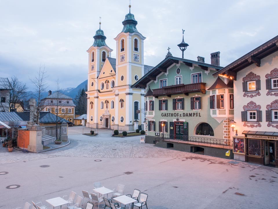
One of the main settlements of the Leukental, Sankt Johann, is famed for its skiing and hiking opportunities. Famous summits like the Kitzbüheler Horn and Ellmauer Halt (2,344 m / 7,690 ft) are a stone's throw from the town center. The Sankt Johann ski area on Kitzbüheler Horn features 40 km (24.8 mi) of pistes and 10 lifts.
The Salzburg-Tyrol Railway connects Sankt Johann to Innsbruck, Salzburg, and Munich through Wörgl.
Sankt Ulrich am Pillersee is the largest settlement on the Lofer Mountains’ interior, with a population of around 1,800. Thanks to its position on the southern shores of the serene Pillersee, Sankt Ulrich is especially popular with tourists. The Nuaracher Höhenweg starts and ends in Sankt Ulrich.
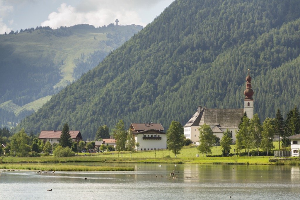
Sankt Ulrich's central location within the Loferer Steiunberge means easy access to some of the range's best features. The municipality is within 5 km (3.1 mi) of the Buchensteinwand ski area and the range's central massif. Sankt Ulrich is also home to the Erlebnispark Pillersee, a family-friendly theme park with rollercoasters and a petting zoo.
The nearby town of Fieberbrunn has a train station that connects to Innsbruck, Kufstein, and Munich via Wörgl.
The Lofer Mountains’ name, Lofer is a small market town located on the range's northeastern boundary. It has a population of roughly 2,000 people.
While Lofer isn't the largest settlement in the range, it's the perfect base from which to explore. Hikes to the Großes Ochsenhorn and the Mitterhorn begin in Lofer. Its position within the Saalachtal makes it ideal for watersports, with rafting and kayaking opportunities on the Saalach's rapids. To the northwest of Lofer is the Skialm Lofer ski resort in the Chiemgau Alps.
Explore Lofer Mountains with the PeakVisor 3D Map and identify its summits.


