Get PeakVisor App
Sign In
Search by GPS coordinates
- Latitude
- ° ' ''
- Longitude
- ° ' ''
- Units of Length

Yes
Cancel
❤ Wishlist ×
Choose
Delete
The Chiemgau Alps (Chiemgauer Alpen) are a mountain range within the Northern Limestone Alps spanning the German-Austrian border. With their gently sloping summits, serene lakes, and numerous ski resorts, the Chiemgau Alps are one of the region's most popular hiking destinations. There are 380 named mountains in Chiemgau Alps. The highest and the most prominent mountain is Sonntagshorn (1,961 m / 6,433 ft).
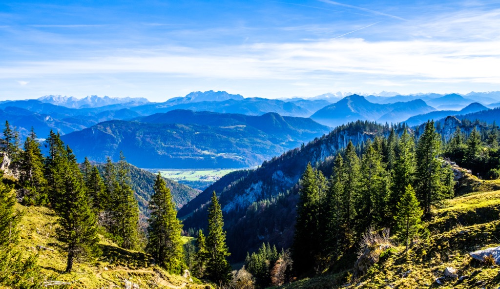
The Chiemgau Alps stretch for approximately 60 km (37 mi) from east to west between the Salzach River and the Inn River and 25 km (15.5 mi) from north to south from Grassau to Erpfendorf. The range is heavily forested, although many mountains have grassy summits.
Most of the Chiemgau Alps are in Bavaria, Germany, while a few summits within the Southern Chiemgau Mountains, Hochries, and Geigelstein subranges are in Tyrol and Salzburg, Austria. A significant portion of the Chiemgau Alps, including Sonntagshorn, fall within the boundaries of the 100 sq km (38.6 sq mi) Eastern Chiemgau Alps Nature Reserve (Naturschutzgebiet Östliche Chiemgauer Alpen).
The Chiemgau Alps take their name from Chiemgau, the name given to the Alps' foothills region of Upper Bavaria. The Chiemgau Alps can be considered foothills to an extent — they're a relatively low mountain range that doesn't exceed 2,000 m (6,561 ft) in elevation, with lower summits on its northern fringes reaching a maximum elevation of around 1,000 m (3,280 ft).
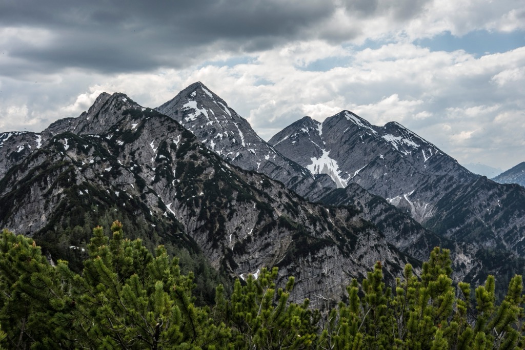
Five other mountain ranges within the Northern Limestone Alps border the Chiemgau Alps:
The Chiemgau Alps are the lowest of these ranges and one of the northmost ranges in the Northern Limestone Alps.
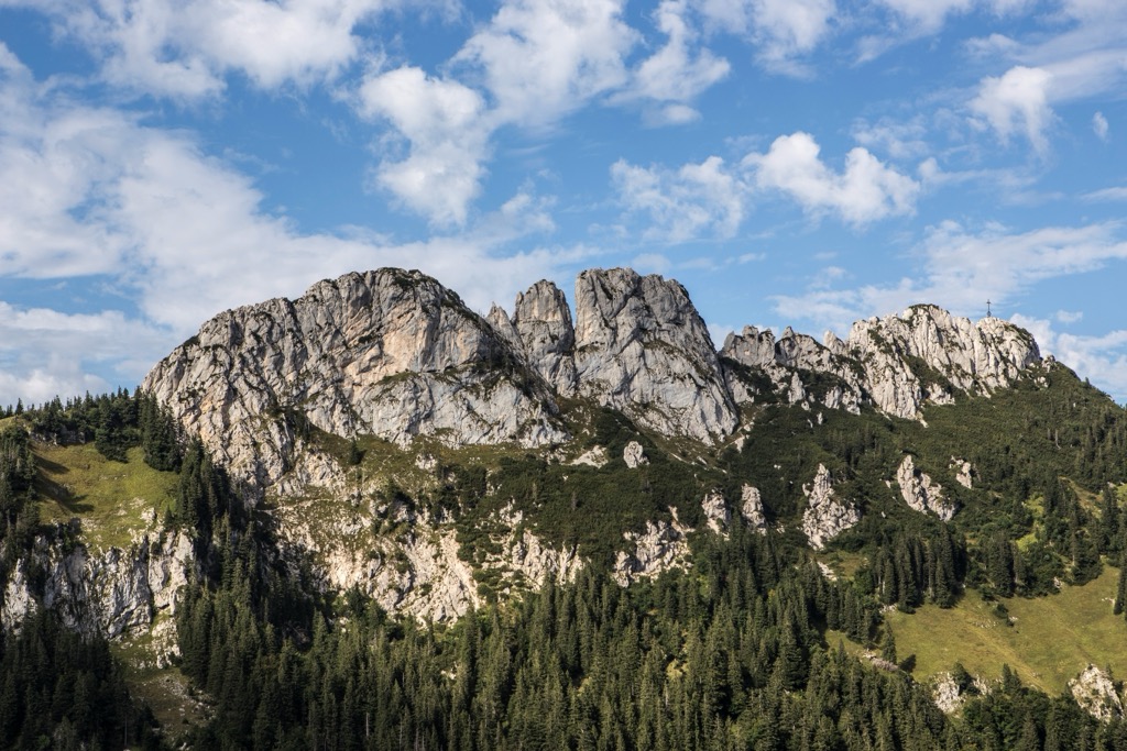
Rounded and relatively low compared to the surrounding Northern Limestone Alps, the Chiemgau Alps are ideal for hiking. That said, a couple of mountains are popular with rock climbers, including Kampenwand (1,668 m / 5,472 ft), Hörndlwand (1,684 m / 5,525 ft), and Steinplatte (1,869 m / 6,132 ft).
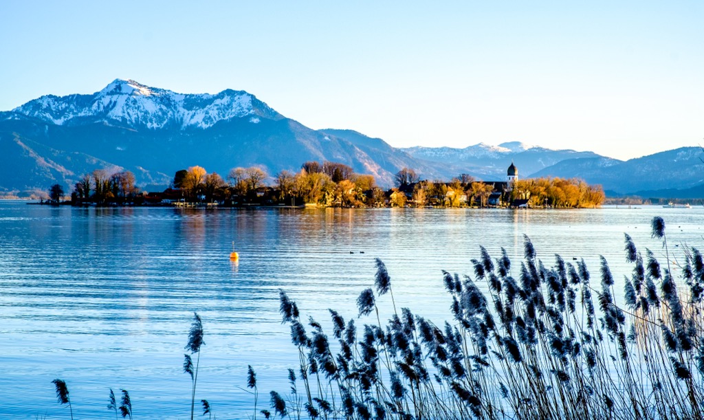
Lake Chiemsee, the largest lake in Bavaria with a surface area of nearly 80 sq km (30.1 sq mi), is less than 10 km (6.2 mi) north of the Chiemgau Alps.
The largest lake within the Chiemgau Alps is Weitsee near Reit Im Winkl, with a surface area of 0.63 sq km (0.24 sq mi). Many significant rivers flow through the Chiemgau Alps, including the Tiroler Achen, the Urschlauer Achen, and the Traun.
The Chiemgau Alps are home to many popular resorts and spa towns, the largest of which is Bad Reichenhall, with a population of 19,000. Rosenheim, the third-largest city in Upper Bavaria, is less than 30 km (18.6 mi) northwest of the Chiemgau Alps. Salzburg is roughly 35 km (21.7 mi) east of the Chiemgau Alps. Other notable settlements include Reit im Winkl, Ruhpolding, and Inzell.
The Chiemgau Alps mainly comprise limestone, dolomite, and marl deposits from the Triassic over 50 million years ago. Many different overlapping rock sheets can be found in the range due to its location on the northern rim of the Alps.
The central area of the Chiemgau Alps is partly composed of marl and limestone formed from sediment deposited on the edge of the ancient shallow Tethys Sea, which covered the Northern Limestone Alps until roughly 66 million years ago.
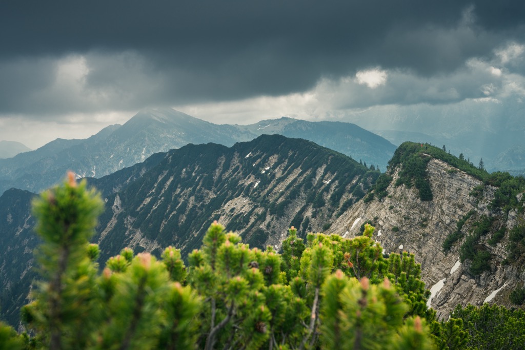
Main Dolomite (Hauptdolomite) is also found within the central areas of the Chiemgau Alps, formed in lagoons and mudbeds of the Tethys Sea during the Triassic.
Main Dolomite gets its name from its thickness, which reaches 2,500 m (8,202 ft) in some parts of the Chiemgau Alps. Many of the highest peaks in the range, including Sonntagshorn, are composed of Main Dolomite.
Flysch, mainly sandstones and siltstones deposited in the deeper Tethys waters, are found on the northern and western sides of the Chiemgau Alps near Ruhpolding. These rocks are particularly weak and make up the lowest ridges in the range.
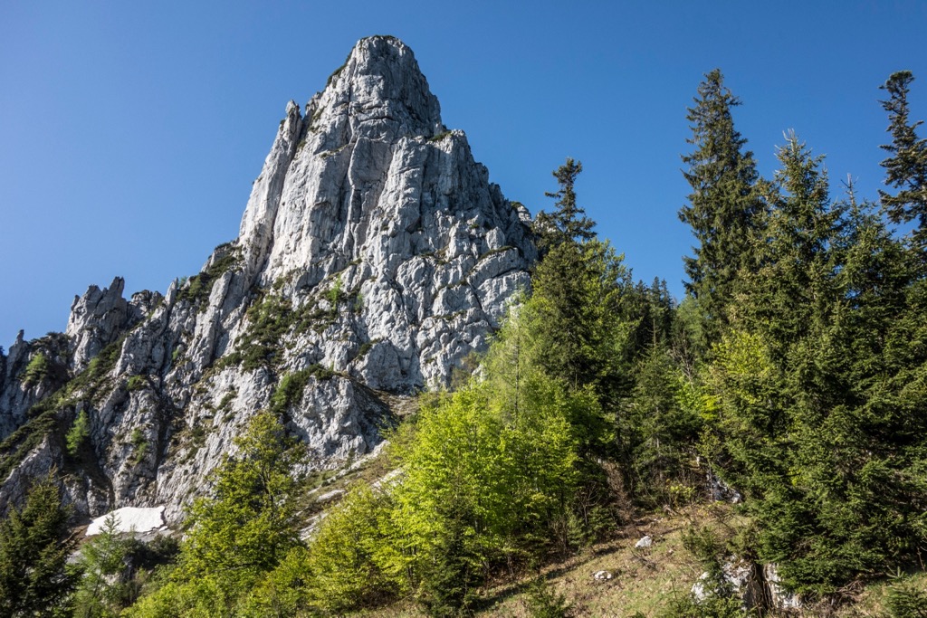
Wetterstein limestone (Wettersteinkalk) is the predominant limestone within the Chiemgau Alps. It's formed from algae and coral reefs from the Tethys Sea. Many of the Chiemgau Alps' most dramatic summits, like Kampenwand or Gurnwandkopf, are made of Wetterstein limestone.
The Chiemgau Alps formed when the Tethys Sea closed during the Alpine Orogeny approximately 66 million years ago. Convergent movement between the Eurasian tectonic plate to the north with the African Arabian, Indian, and minor Cimmerian plates folded the Alps into their current shape.
Several nature reserves in the Chiemgau Alps protect the range's endangered fauna and extensive forests.
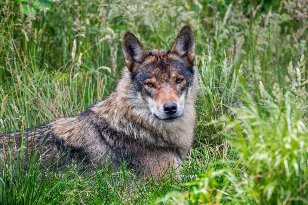
The largest mammals in the Chiemgau Alps are red deer, weighing up to 240 kg (530 lbs). Other notable mammals in the Chiemgau Alps include chamois, wild boars, European badgers, hedgehogs, and red foxes. As of 2022, 161 wolf packs are estimated to live in Germany, with many packs active in Bavaria. In total, the population may number around 1,200 individuals.
The proximity of Chiemsee, coupled with the range's dense forests, makes the Chiemgau Alps a popular resting and nesting spot for various bird species.
Many populations here have protected status under EU law, including black grouses, hazel grouses, golden eagles, meadow pipits, citril finches, crag martins, boreal owls, and black woodpeckers.
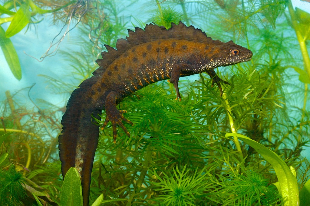
The nature reserve protects several insect and amphibian species in addition to birds. These species include rosalia longicorn beetles, marsh fritillary butterflies, great crested newts, and yellow-bellied toads.
Over half of the Chiemgau Alps are forested, with the range's tree line reaching some of the range's highest summits. The forests are dense at lower elevations and consist mainly of spruces, firs, and beeches.
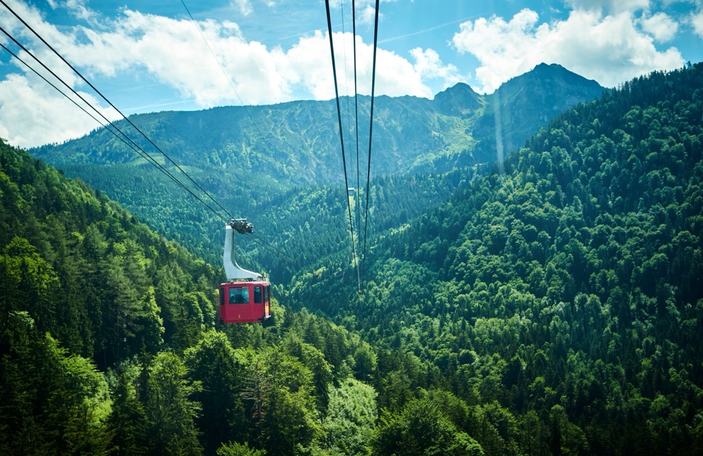
At the tree line, stands of hardy mountain pines are typical. These tree stands are interspersed with shrubs and herbs, including cinquefoils, field pennycress, and Sesleria grasses.
Alpine grasslands exist at all elevations within the Chiemgau Alps. One of the best places to see the Chiemgau Alps' flora is at Geigelstein (1,808 m / 5,931 ft).
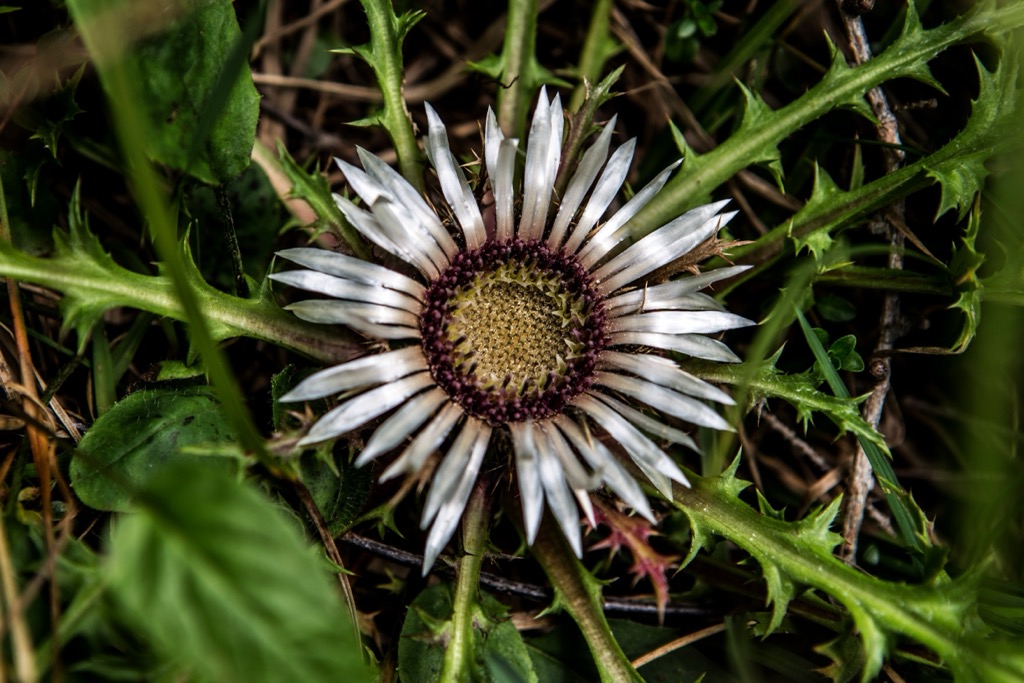
Part of a smaller 31 sq km (12 sq mi) nature reserve, Geigelstein is home to roughly 720 flower and fern species, earning it the nickname the "flower mountain of the Chiemgau." Wildflowers that grow across the Chiemgau Alps include perennial cornflowers, Alpine gentians, spring snowflakes, silver thistles, marsh marigolds, and wild crocuses.
The Chiemgau Alps' location on the Austrian-German border means it has a unique blend of Bavarian, Tyrolean, and Salzburger culture and history.
Due to their modest height and gently sloping summits, the Chiemgau Alps' first ascents aren't well-documented. Locals from nearby villages have likely been climbing the likes of Sonntagshorn for centuries.
However, some of the Chiemgau Alps' most difficult rock-climbing routes were scaled for the first time in the early 20th century. Willy Merkl, known for leading the first German-American expedition to Nanga Parbat (8,126 m / 26,660 ft), was the first person to successfully scale the north face of Hörndlwand in the mid to late 1910s. Merkl also climbed Kampenwand (1,668 m / 5,472 ft) around the same time.

Due to the proximity of Chiemsee and its gentle summits, the Chiemgau Alps have been popular with hikers for over a century. The development of the recreational ski areas across the Chiemgau Alps following the Second World War helped renew interest in the region.
Local alpine clubs also played a significant role in making the Chiemgau Alps accessible to the general public. Between 1910 and 1925, the now-defunct German and Austrian Alpine Club (DuÖAV) helped open and manage many public mountain huts in the Chiemgau Alps, including the Hochrieshütte (1,569 m / 5,148 ft), the Priener Hütte (1,410 m / 4,626 ft), and the Reichenhaller Haus (1,717 m / 5,636 ft).
The Chiemgau Alps are steeped in Upper Bavarian traditions, with their own unique cuisine and customs. Several local culinary delights are worth seeking out while hiking in the Chiemgau Alps. These dishes include grilled fish on a stick (steckerlfisch), rye bread with pork lard (schmalzbrot), and, of course, numerous Bavarian beers, like Bürgerbräu from Bad Reichenhall.

Yodeling is traditional in the Chiemgau Alps, as it is across much of the nearby Austrian Alps. In 2016, Andrea Wittmann from Chiemgau set a new record for the longest continuous yodeling. Impressively, Andrea set the record by yodeling continuously for 15 hours and 11 seconds while on the shores of Chiemsee.
The Chiemgau also has several unique annual celebrations, including the Kirchweih or Kirta. Every year, villages across the Achental celebrate their local church's consecration day with a market and feast. Traditionally, these festivities always included a Kirta-Hutschn, a 3 m (10 ft) to 5 m (16 ft) long swing consisting of a wooden board attached to barn beams.
The Chiemgau Alps are a hotspot for hikers — you'll find hundreds of tours to discover during your visit.
Despite being a low mountain range compared to many of the ranges to the south, the Chiemgau Alps are still potentially hazardous. Ensure you bring plenty of provisions and the correct equipment when hiking in the Chiemgau Alps. Map your route carefully, check local weather forecasts, and inform others of your itinerary.
The Chiemgau Alps are packed with popular hiking mountains. In addition to those mentioned in our guide, other summit hikes worth considering include Dürrnbachhorn (1,776 m / 5,827 ft), Steinplatte, Zwiesel (1,781 m / 5,846 ft), Hochries (1,569 m / 5,148 ft), Hochplatte (1,587 m / 5,207 ft), Kampenwand, and Gamsknogel (1,750 m / 5,741 ft).
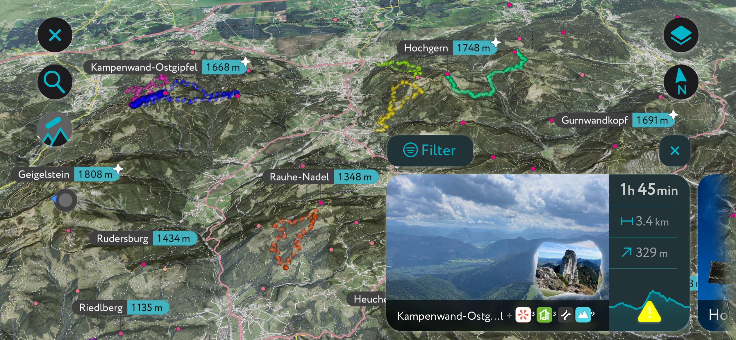
Geigelstein (1,808 m / 5,931 ft) is the second-most prominent mountain in the Chiemgau Alps. It's located within the Kampenwand subrange on the western side of the Chiemgau Alps.
Despite its modest height, Geigelstein is significantly higher than the surrounding summits — the next nearest highest summit is Jovenspitze (1,892 m / 6,207 ft) in the Zahmer Kaiser, situated 11 km (6.8 mi) away. As a result, Geigelstein provides uninterrupted panoramas of the Kaisergebirge, the Berchtesgaden Alps, and Chiemsee.
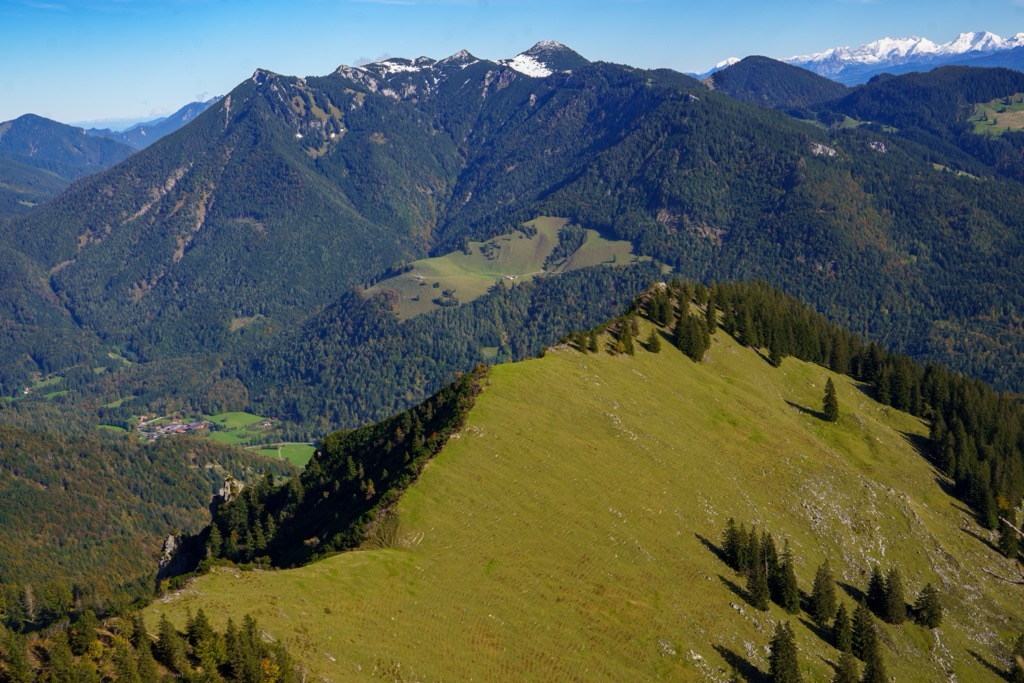
Geigelstein's summit view and well-maintained trails make it very popular with hikers. The normal route to Geigelstein starts from the Parkplatz Geigelsteinbahn in Ettenhausen.
This looped route follows trail no. 8 past Wuhrsteinalm (1,120 m / 3,675 ft) and Wirtsalm (1,430 m / 4,691 ft) before leading through forests to Geigelstein's summit. You'll descend via the Geigelsteinsattel to Rossalm (1,680 m / 5,512 ft), before rejoining trail no. 8 back to your starting point.
This looped trail from Ettenhausen to Geigelstein is approximately 15 km (9.3 mi) long.
Hochgern (1,748 m / 5,735 ft) is the highest summit in the central Chiemgauer Berge and the fourth most prominent mountain in the Chiemgau Alps.
Hochgern is extremely popular due to its position at the center of the ridge overlooking the Chiemgau's lush plains, affording uninterrupted views of Chiemsee. You'll have far-flung views of the Loferer Steinberge and the entire Hohe Tauern, including Großglockner (3,798 m / 12,461 ft) and Großvenediger (3,657 m / 11,998 ft). It's also popular for ski tours and winter hikes.
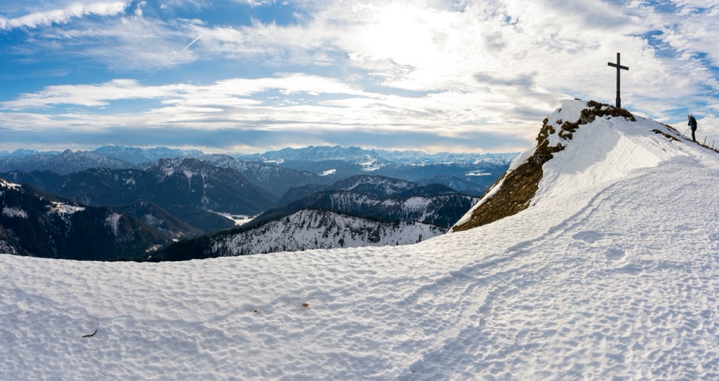
The normal route to Hochgern begins in Marquartstein, following the Via Alpina. The trail is clearly signposted and leads past the Agersgschwendtalm (1,044 m / 3,428 ft) and the Hochgernhaus (1,510 m / 4,954 ft). The final stretch of the tour leads along Hochgern's scenic ridge, passing a small chapel. Descend the way you came.
This hike from Marquartstein to Hochgern is approximately 16.2 km (10 mi) long.
Hochfelln (1,674 m / 5,492 ft) is another must-visit summit in the central Chiemgauer Berge subrange, located east of Hochgern. It's nicknamed the "viewing terrace" of the Chiemgau, with views back across the Chiemgauer Berge massif and stunning vistas of Chiemsee.
Atop Hochfelln is Hochfellnhaus (1,640 m / 5,381 ft), the Chiemgau's highest restaurant, where you can have snacks and refreshments while relishing views of the region. There's also the Taborkirche, a church dating back to 1888.
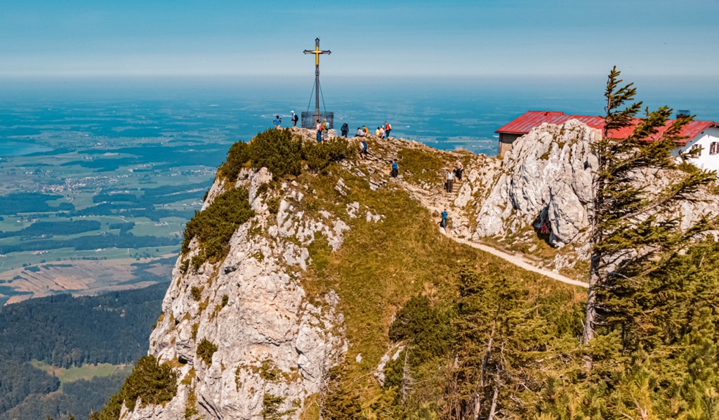
The normal route to Hochfelln starts from the Hochfelln-Seilbahn cable car station. You'll begin by following the Maxhüttenstraße until you reach trail no. 8, also known as the Hochfellnweg. The trail then leads through forests and past the Hochfelln Mittelstation.
Out of the forests, you'll pass over alpine pastures and by the Bachschmied-Kaser (1,139 m / 3,737 ft) to reach Bründlingalm (1,162 m / 3,812 ft), where there are some of the finest views of Chiemsee.
The trail continues more steeply uphill along winding Tröpflwand and past the Bergen Ski Club hut to reach Hochfelln's summit. Descend the way you came. The hike from the Hochfelln-Seilbahn cable car station to Hochfelln is approximately 9 km (5.6 mi) long.
Hochstaufen (1,771 m / 5,810 ft) is the second-highest summit in the Staufen subrange at the eastern end of the Chiemgau Alps. It's the local mountain of Bad Reichenhall, with its striking rocky slopes visible from the town center.
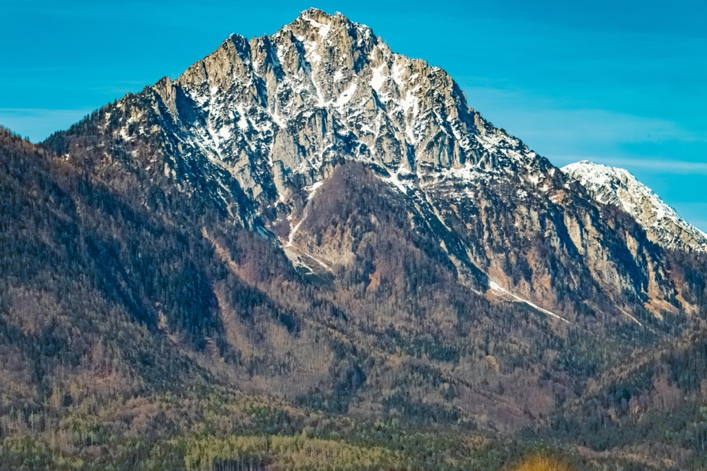
Hochstaufen's location on the Chiemgau Alps' eastern boundary means it provides sweeping views of the Berchtesgaden Alps, with Salzburg also clearly visible. Just south of Hochstaufen's summit is the Reichenhaller Haus (1,717 m / 5,636 ft), the highest mountain hut in the Chiemgau Alps.
Several routes up Hochstaufen exist, with the trail from Padinger Alm (2,192 ft) near Bad Reichenhall among the most popular. Follow the red-marked trail that snakes uphill to the northwest. Keep left at each fork in the road until you reach the Bartlmahd trail.
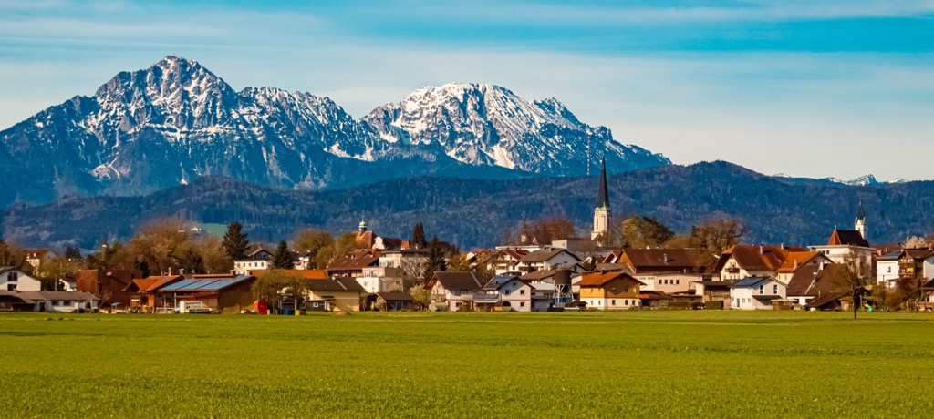
At the fork on the Bartlmahd, turn right, following the path steeply uphill onto the ridge between Mittelstaufen (1,656 m / 5,436 ft) and Hochstaufen. After a scenic ridge walk, you'll pass Reichenhaller Haus, just a few minutes from Hochstaufen's summit. Descend the way you came.
This hike from the Padinger Alm to Hochstaufen is approximately 13 km (8 mi) long.
The Salzalpensteig is a 233 km (144 mi) long multi-day hiking trail meandering across Bavaria and Salzburg in 18 stages. It takes in all the highlights of the landscape on both sides of the border, from verdant forests to high mountain peaks to tranquil lakes. The Salzalpensteig starts in Prien am Chiemsee and ends at the famous Hallstätter See.
Six stages of the Salzalpensteig pass through the Chiemgau Alps, between Prien am Chiemsee and Bad Reichenhall. Totaling just shy of 100 km (62 mi), these six stages take in some of the finest views and mountain huts the range has to offer. You'll get the chance to scale a couple of the Chiemgau Alps' best mountains, including Hochfelln and Rötlwandkopf (1,379 m / 4,524 ft).
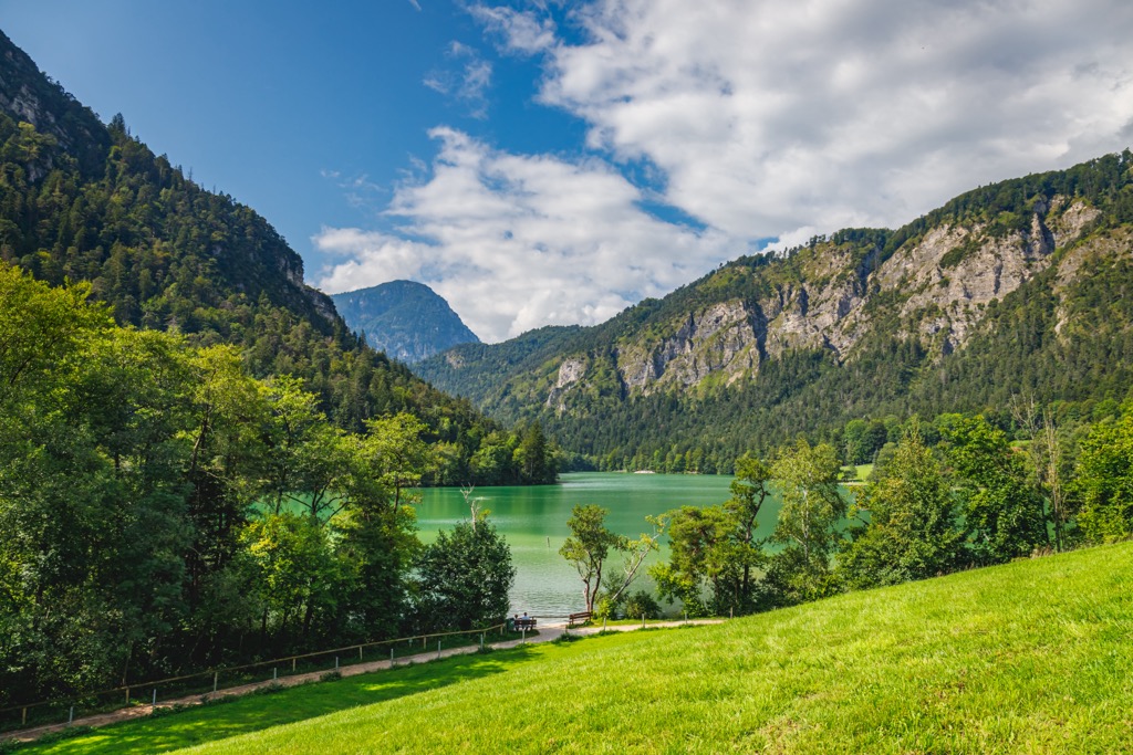
The six stages of the Salzalpensteig within the Chiemgau Alps are as follows:
The main ski areas of the Chiemgau Alps are on the Austrian side of the border within Salzburg. These ski resorts center around the resort villages of Waidring, Lofer, and Erpfendorf.
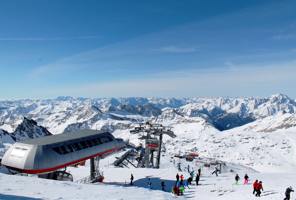
The three main ski areas in the Chiemgau Alps are:
Smooth mountain slopes and significant snowfall between December and March make the Chiemgau Alps an excellent ski-touring destination.
The Chiemgau Alps are part of our most thoroughly mapped area, with hundreds of ski tours to discover across the Alps.
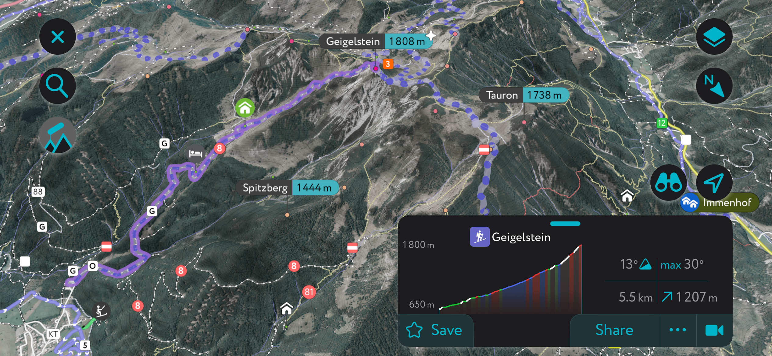
Here's a quick look at two of the most popular ski tours in the Chiemgau Alps and a few new features that make the PeakVisor App the ultimate tool for planning your next outdoor adventure.
The highest summit in the Chiemgau Alps, Sonntagshorn (1,961 m / 6,433 ft) is equally popular among hikers and skiers. Located on the Austrian-Germany border within the eastern Ruhpoldinger subrange, Sonntagshorn affords excellent views, especially of Chiemsee and the Loferer Steinberge.
The Sonntagshorn ski tour from the Heutal is considered easy, with a low chance of avalanches. From the old Gasthaus Heutalbauer to the southwest, you'll ski through the Heutal towards the Trostberger Hütte (1,340 m / 4,593 ft) before passing through forests.
The terrain then opens up to Hochalm (1,426 m / 4,678 ft) before reaching Sonntagshorn's saddle. You'll reach Sonntagshorn's summit via its southern slope. Descend the way you came. This ski tour from Heutal to Sonntagshorn is approximately 4.3 km (2.6 mi) long.
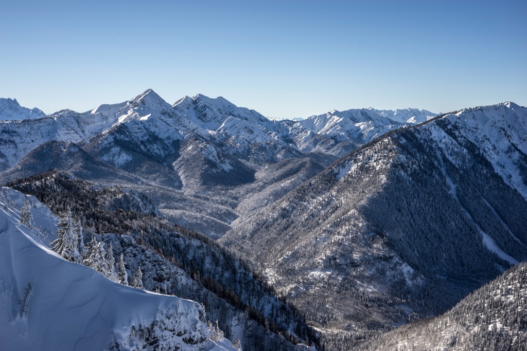
Sonnwendköpfl (1,278 m / 4,193 ft) is a low-risk and high-reward ski tour. It's a straightforward tour near the picturesque Taubensee, which provides surprisingly incredible panoramas spanning from the Berchtesgaden Alps to the Kitzbühel Alps to the Hohe Tauern. In the summer months, it's also popular with hikers.
This circular ski tour of Sonnwendköpfl begins at the Wanderparkplatz Gugg just northwest of Mühlberg in Kössen. Follow path no. 21a to Taubenseehütte (1,164 m / 3,819 ft) and then Ochsenalm. Turn right towards Sauermöseralm (1,286 m / 4,219 ft), then follow signposts for "Chiemseeblick / Stoibenmöseralm / Taubensee."
Yellow signs and then red and white markers will lead you to Stoibenmöseralm (1,252 m / 4,108 ft), from which you'll continue to Taubensee and Sauermöseralm before following signposts to reach Sonnwendköpfl. Descend via the Taubenseehütte, the Hirzinghütte (1,024 m / 3,360 ft), and the Rinderbrachalm (950 m / 3,117 ft). This ski tour of Sonnwendköpfl is approximately 8 km (5 mi) long.
The Chiemgau Alps—and the entire European Alps, for that matter—are one of our most thoroughly mapped regions, with hundreds of mountain huts, hiking trails, and ski tours detailed on the PeakVisor App.
You can now access the latest weather forecasts and snow depths to make planning an off-piste ski excursion easier than ever. Plus, the PeakVisor App has up-to-date information on local mountain huts, including opening hours, dining options, and overnight accommodation.
The new "Discover" lets you quickly filter the best hiking routes in your area, helping you to plan the best outdoor adventure possible seamlessly.
Within a couple hour's drive of Munich and Salzburg, the Chiemgau Alps offer several charming resorts and spas to enjoy on a weekend getaway.
Salzburg Airport is the nearest international airport to the Chiemgau Alps, just 12 km (7.5 mi) from Bad Reichenhall.
Bad Reichenhall is the principal town of the Chiemgau Alps, with a population of over 19,000. It's located on the range's eastern edge, surrounded by the Staufen subrange.
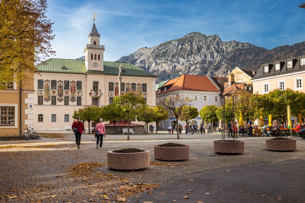
Bad Reichenhall is an excellent spot to relax between hiking expeditions. It’s a popular spa town with idyllic bathing lakes like Thumsee and Höglwörther See, and its proximity to Salzburg and hiking mountains like Hochstaufen and Zweisel make it a convenient base.
Bad Reichenhall Railway Station connects the town with Freilassing, Berchtesgaden, and Piding, with connections to Hamburg.
Riet im Winkl is a village at the heart of the Chiemgau Alps. It has a population of over 7,000. It's an air spa (Luftkurort) and a ski resort with the Winklmoos-Alm ski area.
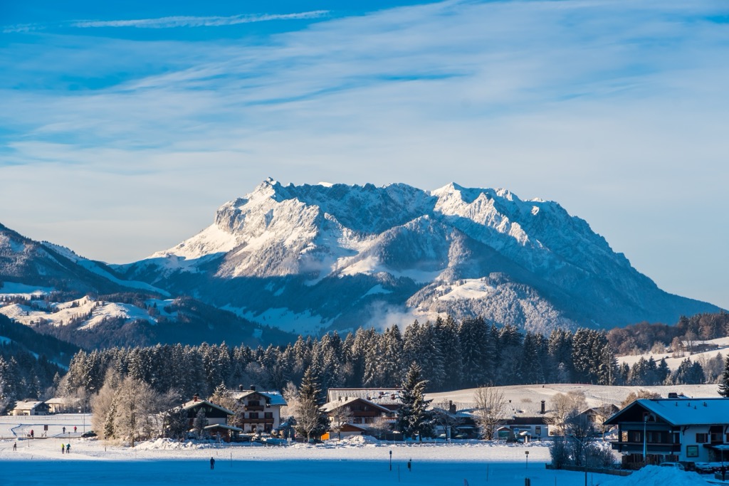
Reit im Winkl is perfectly positioned for hiking and skiing, with popular mountains like Sonnwendköpfl, Wetterkreuz (1,099 m / 3,606 ft), and Hohcgern within 10 km (6.2 mi) of the village. Plus, there’s less stress about weather conditions while hiking around Reit im Winkl—it's one of the sunniest villages in Bavaria.
The Regionalverkehr Oberbayern (RVO) runs bus services to Reit im Winkl from Salzburg, Traunstein, Prien am Chiemsee, and Übersee.
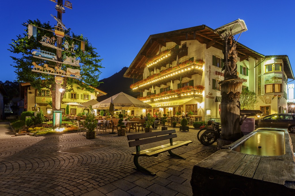
Ruhpolding is another popular resort village in the Chiemgau Alps.
With a population of just over 7,000 people, Ruhpolding draws in around a million visitors annually who take advantage of the village's ski jumps, mountain bike tracks, and motorbike speedway. Ruhpolding has also hosted the Biathlon World Championships on four occasions.
Tucked away in the Miessenbacher Tal in the northeastern Chiemgau Alps, Ruhpolding is within 10 km (6.2 mi) of popular hiking mountains like Sonntagshorn, Hochfelln, and Hochgern. Ruhpolding is accessible by train from Traunstein.
Explore Chiemgau Alps with the PeakVisor 3D Map and identify its summits.


