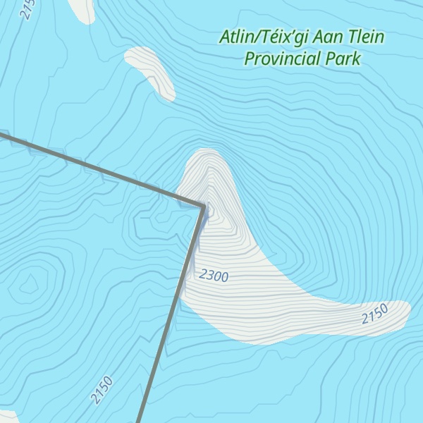
Mount Nesselrode, also known as Boundary Peak 98, is a 2,474 m (8,117 ft) peak in the Boundary Ranges of the Coast Mountains, located on and in part defining the border between British Columbia, Canada, and Alaska, United States. About 40 miles (64 km) north of Juneau to the west of the lower Stikine River and in the heart of the Stikine Icecap in Juneau Icefield southwest of Atlin Lake, the summit, with a prominence of 924 m (3,031 ft), is also the corner point of Alaska's Haines Borough and Juneau Borough.
It was named in 1924 on the 100th anniversary of the Russo-American Treaty of 1824 in honour of Karl Nesselrode, also known as Charles de Nesselrode, then Russian Minister of Foreign Affairs and a plenipotentiary in the negotiations that produced the Russo-American Treaty of 1824 and defined the boundary between Russian America and US claims to the Oregon Country and was mirrored in a parallel Russian treaty with the British the next year, defining 54°40′ north as the southward limit of Russian possessions.
The first ascent of Mount Nesselrode was made in August 1973.
We use GPS information embedded into the photo when it is available.
3D mountains overlay
Adjust mountain panorama to perfectly match your photos because recorded by camera photo position might be imprecise.
Move tool
Rotate tool
Zoom
More customization
Choose which peak labels should make into the final photo and what photo title should be.
Next
Photo Location
Satellitte
Flat map
Relief map
Latitude
Longitude
Altitude
OR
Latitude
°'''
Longitude
°'''
Apply
Register Peak
Peak Name
Latitude
Longitude
Altitude
Register
Teleport
PeakVisor
This 3D model of Sagarmatha National Park in Nepal was made using the PeakVisor app topographic data. The mobile app features higher precision models worldwide, more topographic details, and works offline. Download PeakVisor maps today.
Download OBJ model
PeakVisor
The download should start shortly. If you find it useful please consider supporting the PeakVisor app.
PeakVisor for iOS and Android
Be a superhero of outdoor navigation with state-of-the-art 3D maps and mountain identification in the palm of your hand!