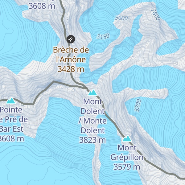
Mont Dolent (3,823 metres (12,543 ft)) is a mountain in the Mont Blanc massif and lies on the border between Italy, Switzerland and France.
As a mountain, Mont Dolent is regarded as the tripoint between Italy, Switzerland and France, although the tripoint itself lies at 3,749 metres, less than 100 metres north-west of its summit.
In 1954, a statue of the Virgin Mary was erected on Mont Dolent's summit by the young people of Valais.
The nearest mountain hut is Bivouac du Dolent located 1 875m/6 151ft ENE of the summit.
By elevation Mont Dolent / Monte Dolent is
# 85 out of 2223 in the Graian Alps # 10 out of 283 in Entremont # 79 out of 35442 in France # 70 out of 9907 in Auvergne-Rhône-Alpes # 84 out of 1186 in Aosta Valley # 60 out of 1207 in Upper Savoy # 72 out of 581 in the Mont Blanc massif
By prominence Mont Dolent / Monte Dolent is
# 71 out of 2223 in the Graian Alps # 80 out of 1787 in Valais/Wallis # 11 out of 283 in Entremont # 53 out of 1186 in Aosta Valley # 55 out of 1207 in Upper Savoy # 21 out of 581 in the Mont Blanc massif
We use GPS information embedded into the photo when it is available.
3D mountains overlay
Adjust mountain panorama to perfectly match your photos because recorded by camera photo position might be imprecise.
Move tool
Rotate tool
Zoom
More customization
Choose which peak labels should make into the final photo and what photo title should be.
Next
Photo Location
Satellitte
Flat map
Relief map
Latitude
Longitude
Altitude
OR
Latitude
°'''
Longitude
°'''
Apply
Register Peak
Peak Name
Latitude
Longitude
Altitude
Register
Teleport
PeakVisor
This 3D model of Sagarmatha National Park in Nepal was made using the PeakVisor app topographic data. The mobile app features higher precision models worldwide, more topographic details, and works offline. Download PeakVisor maps today.
Download OBJ model
PeakVisor
The download should start shortly. If you find it useful please consider supporting the PeakVisor app.
PeakVisor for iOS and Android
Be a superhero of outdoor navigation with state-of-the-art 3D maps and mountain identification in the palm of your hand!