Scan the QR code and open PeakVisor on your phone
Luscious conifer groves adorn the medium-to-high elevations of Xiangyang Forest Recreation Area (向陽森林遊樂區) in central Taiwan. Xiangrong Shan (向榮山) is the only named mountain, measuring a height of 2,510 meters (8,235 ft) amidst a pristine wonderland of dramatic mountainscapes and temperate woodlands.
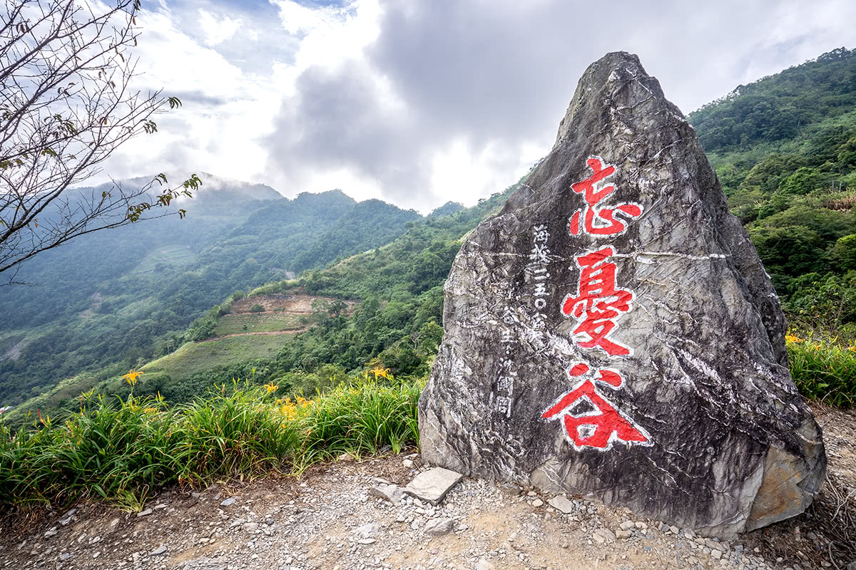
Xiangyang Forest Recreation Area is situated in the Haiduan Township (海端鄉) of Taitung County (臺東縣). The mountainous forest land lies in Yushan National Park’s (玉山國家公園) large territory and the smaller region of the Guanshan Major Wildlife Habitat (關山野生動物重要棲息環境).
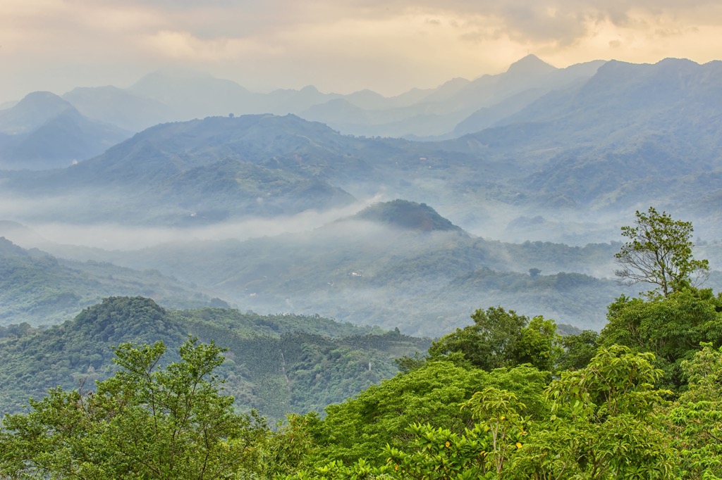
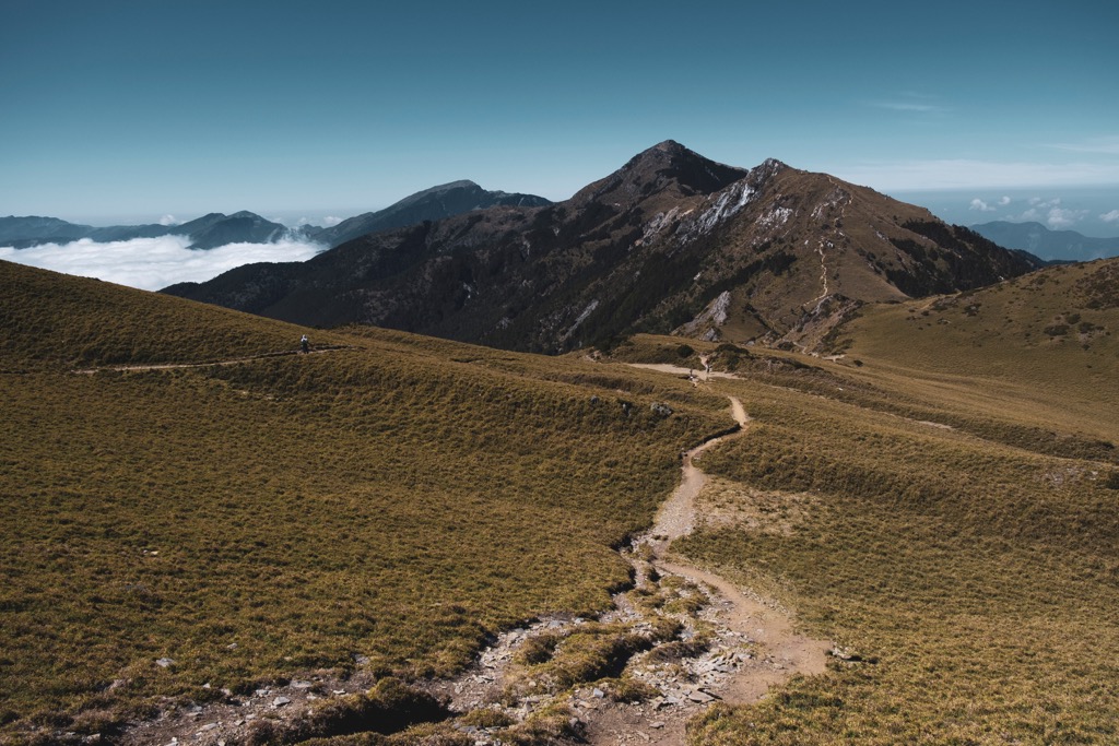
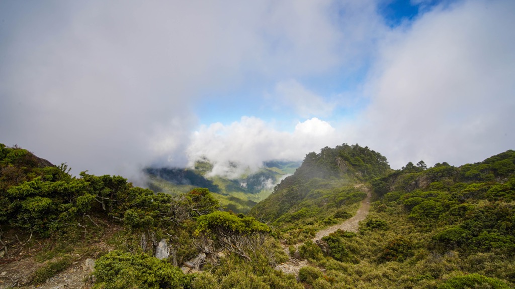
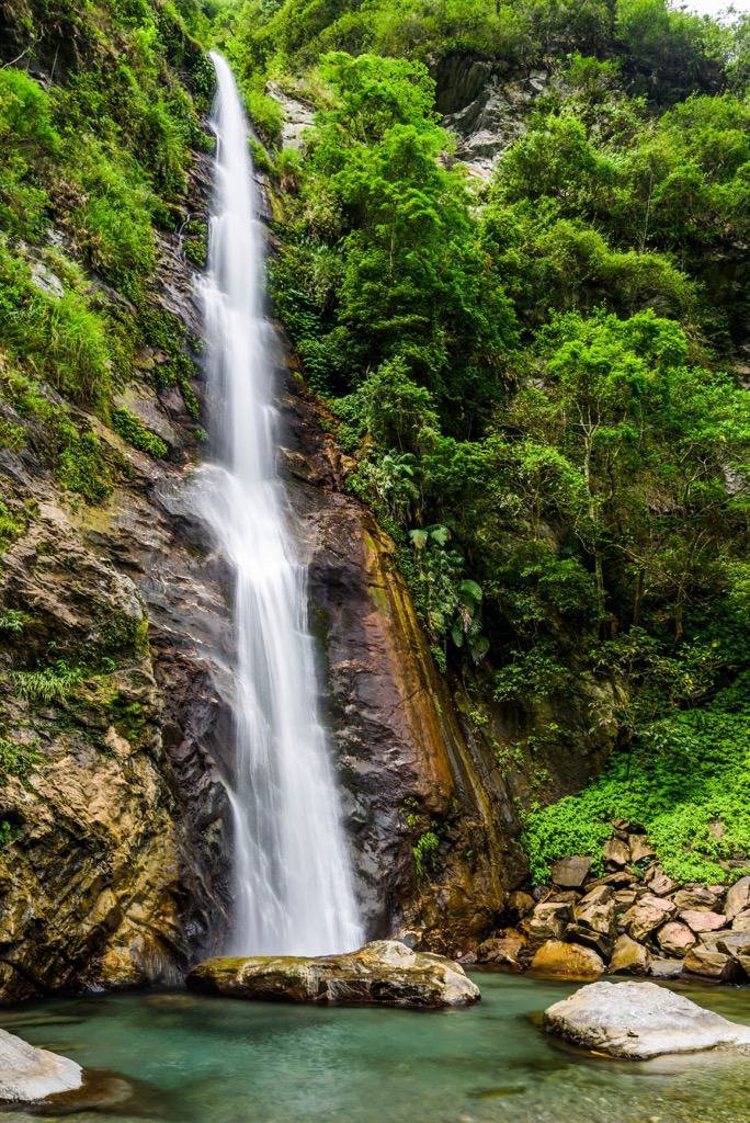
As the region sits along the Central Mountain Range’s (中央山脈) jagged spine, the forest terrain rests at an elevation of 2,320 meters (7,612 ft) and above. A misty mountain vapor infuses the hilly forest formed from the alpine Xiangyang Lake, Xiangyang Waterfall, and Xiangyang River.
Another reason the Xiangyang Forest is shrouded in fog is from the region’s temperate climate, with an annual average temperature of 50°F (10°C) and rainfall of 2,800 mm (110 in).
While Xiangyang Forest Recreation Area only holds one named mountain, many surrounding peaks have colossal stature, some belonging to Taiwan’s top 100 tallest mountains. These nearby peaks are Guanshan (關山), Taguan Shan (大關山), Sancha Shan (三叉山), and Xiangyang Shan (向陽山).
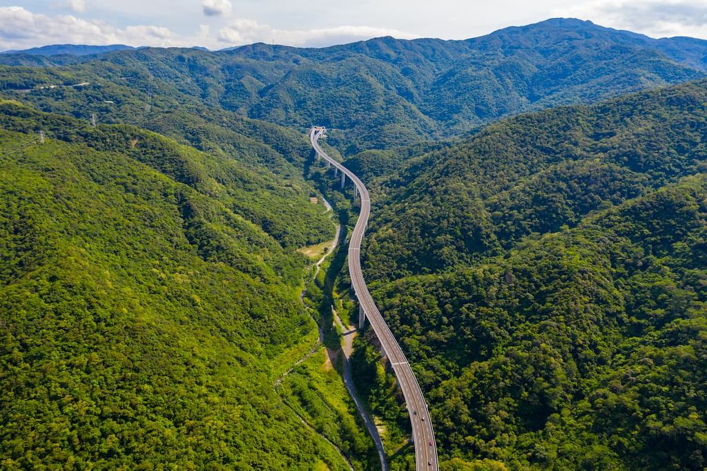
Another prominent landmark near Xiangyang Forest is the Nanheng Highway, also known as the Southern Cross-Island Highway, a major road connecting Taitung City (臺東市) to Tainan City (臺南市) on Taiwan’s west coast. As there are few roads connecting Taiwan’s east and west coasts, the Southern Cross-Island Highway is a man-made marvel, reaching lofty elevations of 2,722 meters (8,930 ft) at its highest part.
Xiangyang Forest also lies close to Jiaming Lake (嘉明湖), Taiwan’s second-highest alpine pond, as well as Xinkangshan Special Scenic Area (新康山特別景觀區) and Sancha and Xiangyang Mountains Special Scenic Area (三叉山、向陽山特別景觀區).
Xiangrong Shan, Xiangyang Forest’s only named hill, belongs to the Central Mountain Range that spans 270 km (168 mi) from Taiwan’s southern land of Pingtung County (屏東縣) to northern Taiwan’s coast in Yilan County (宜蘭縣). Taiwan’s longest massif also holds the most Baiyue, Taiwan’s 100 tallest mountains.
Sandstone, slate, and phyllite from the Eocene epoch form the rock strata of Xiangrong Shan.
An aromatic mountain forest of temperate conifers populates Xiangyang Forest’s vegetation.
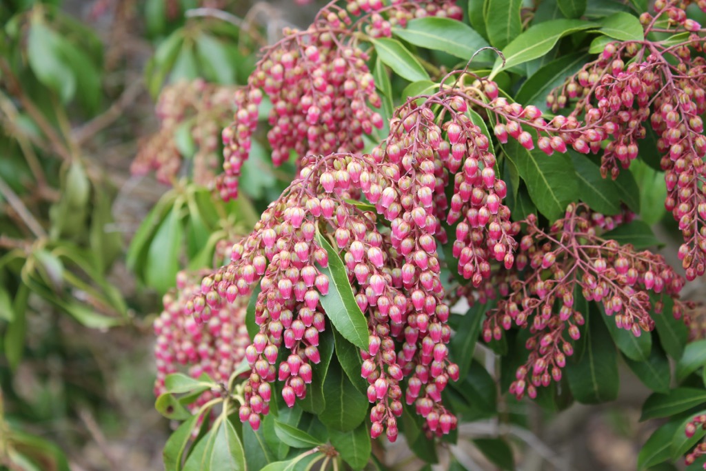
Taiwan red cypress, hemlock, fir, and two-leaf pine are the dominant tree species. In the lower reaches of the forest, broadleaf arboreals, such as Taiwan maple. Flowering plants, like rhododendron and Japanese andromeda, thrive in the evergreen woods.
Taiwan’s Bunun tribe are Xiangyang Forest’s earliest inhabitants, who live in Taitung and Nantou (南投縣) county’s high mountainous regions. During Taiwan’s occupation by the Japanese between 1985 to 1945, Japanese forestry officials interfered with the Bunun’s way of life.
As a means to penetrate Taiwan’s lush alpine woodlands, the Japanese forcibly removed the Bunun from their mountain dwellings, relocating them to the Guanshan Yueling Ancient Road, which was once a major thoroughfare from Tainan to Taitung in earlier times. This road was heavily guarded by Japanese police officials who controlled the Bunun people’s movements and daily living.
Once the Japanese retreated from Taiwan in 1945, Taiwanese officials began to construct the modern day Southern Cross-Island Highway, using the Guanshan Yueling Ancient Road as a blueprint. You can still walk a part of the old road, known as the Zhongzhiguan Hiking Trail, where you’ll find discarded Japanese police posts dotting the overgrown path.
Xiangyang Forest Recreation Area’s major hiking trails and areas are:
The Xiangyang Forest Trail (向陽步道) is the first trail you'll take after entering the Xiangyang Forest Recreation Area. This 500-meter (1,640 ft) long path has the gentlest gradient and is the ideal prelude to the forest's flourishing foliage.
As you progress further along the path, Xiangyang Forest’s mountain mist gradually appears before your eyes. You’ll feel like you’re entering a different realm, as the fertile greenery glows from the high humidity. If you’re visiting in autumn, then you picked the most picturesque season. The maple trees’ leaves change color, flashing bright, warm shades of lime yellow, burnt orange, and wine red. It’s a wonder to witness.
Just like the Xiangyang Forest Trail (向松步道), the Xiangsong Hiking Trail boasts autumnal foliage against the iridescent forest greenery. However, this route puts on a scenic show twice a year, as pastel blooms of cherry blossoms erupt in the spring time.
Tread carefully so you can enjoy the trail’s ecology of butterflies fluttering along your path and birds singing in the trees. Try look out for Taiwan macaques playing in the verdant vegetation and white-faced flying squirrels scurrying across the high branches.
Take the steeper Pine View Trail (松景步道) that leads you to coniferous woodlands higher up in the forest. As you ascend the hilly forest of Taiwan two-leaf pine, you’ll notice the environment shrouded in mountain mist. Look on the forest path for pine cones that crunch beneath your feet.
If you need to catch your breathe, there are many rest spots along the route. In the summer, orchids bloom amongst the trees, filling the air with a fresh, sweet fragrance. Rhododendron and wild ginger also grow along the path, creating a serene floral display in the evergreen woods.
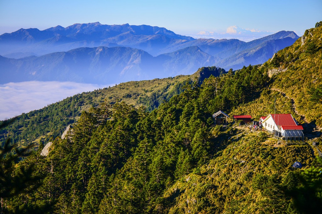
For glorious views and the starting point to Jiaming Lake Hiking Trail, walk the Songtao Trail (松濤步道). The longest trail of Xiangyang Forest Recreation Area, the pine and juniper grove path is 1,628 meters (5,341 ft) in length and leads to forest’s highest point.
Take in the mesmerizing views of Taguan Shan, Xitou Shan (溪頭山), and Yushan (玉山) from the Songtao Trail’s viewing deck, where you’ll also overlook Xiangyang Forest’s luscious coniferous grove. On the path, you’ll stumble across a crumbling wall of an old Japanese residence, built during Taiwan’s occupation by the Japanese.
Explore the wild foliage and raw beauty of the Zhongzhiguan Hiking Trail, a 3.5 km (2 mi) section of the old Guanshan Yueling Road. Ascend the steep hilly path in Zhongzhiguan as you step on the crunchy forest carpet of dried leaves and fallen twigs.
Feel the coolness from the shaded forest trail of Taiwan hemlock, where you’ll find velvety coatings of emerald moss from the dampness. As you reach the end of the path, you’ll find Tianchi, a pristine and peaceful lake on Kuhanuoxin Shan’s (庫哈諾辛山) northwest slope.
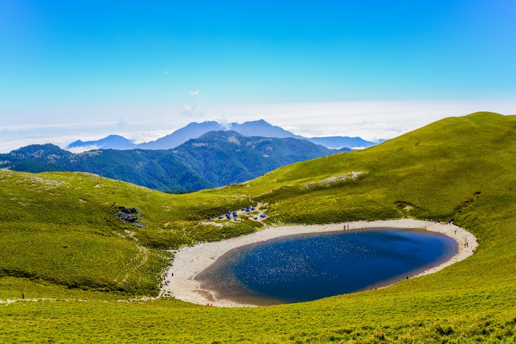
The road to Jiaming Lake involves climbing two mountains, although only summiting one, on the 13 km (8 mi) multi-day trek. This route is very popular as hikers wish to view Taiwan’s second highest alpine lake in central Taiwan’s mountainous backcountry.
You’ll begin climbing Xiangyang Shan, where you’ll encounter Baimulin’s deadwood forest of ashen white bark. The Taiwan fir, spruce, and Yushan juniper grove was once a thriving forest, stripped of its life by forest fires. Baimulin is beautiful and striking, a pallid and pale contrast to the verdant green countryside.
You’ll then read Sancha Shan, one of Taiwan’s top 100 tallest mountains. Enjoy the majestic views of Taiwan’s rugged backcountry, and you can distinguish other mammoth surrounding hills. Yushan is in the north, Xinkang Shan (新康山) to the east, while Xiangyang Shan in to your west.
As you begin to descend Sancha Shan, you’ll reach Jiaming Lake, situated at 3,310 meters (11,089 ft). As you stop to admire the tranquil pond’s setting, look out for Taiwan sika deer grazing on the hilly meadows. Jiaming Lake radiates the sunny blue skies on its surface, looking like a diamond in the wilderness.
Two places of interest near to Xiangyang Forest Recreation Area are Chenggong Township (成功镇) and Yuli Township (玉里镇), both good options for accommodation.
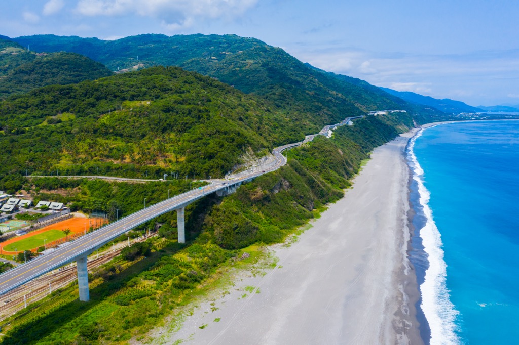
Boasting the longest coastline in Taiwan, Chenggong Township is synonymous with beach and pure bliss. In addition, Chenggong Township also holds cultural significance as the Amis tribe populates this coastal region.

Taiwan’s longest reserve, the 170 km (106 mi) Huadong Coastal Reserve (花東沿海保護區) runs through Chenggong Township, connecting Hualien City (花蓮市) to Taitung City. Along this drive, you can spot weathered outcrops, stunning shores, and ecological wonders in the intertidal zones. Head to the beach, take off your shoes, and walk along the fine sandy bay, inhaling the salty sea air. You’ll feel rejuvenated and relaxed after your stroll to the sound of crashing waves.
While on your beach stroll, you may happen upon the whimsical and wonderful Sanxiantai (三仙台) Bridge. Noted for its resemblance to a dragon’s scaled back, eight arches stretch from the shore to Sanxiantai Island. Follow the curvy bridge’s path to look out for dolphins and whales playfully swimming in the deep blue sea. Don’t forget to take a photo of the iconic Sanxiantai Bridge - a picture perfect sight in Chenggong Township.

Once you’ve soaked up the beauty of the beach, soak in a bit of culture at the Amis Folk Centre (阿美族民俗中心). This interactive museum allows you to observe Amis people’s traditional houses and to watch live weaving demonstrations. You can also take a seat at the amphitheatre to watch ceremonious Amis song and dance, as they wear their traditional clothing. It’s a delightful outing to interact with the friendly Amis people and learn about their customs.
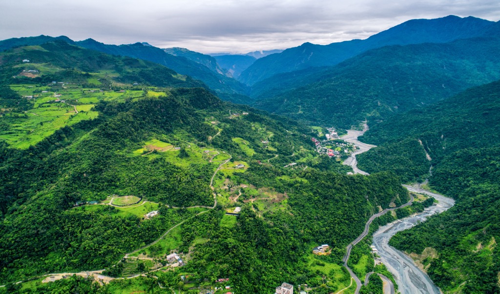
While Chenngong Township intersects the Huadong Coastal Reserve, Yuli Township is part of the Huadong Valley (花東縱谷), a fertile rift between the gentle hills along Taiwan’s east coast and the imposing Central Mountain Range inland.
As volcanic eruptions formed Taiwan’s land, there are many thermal springs dotted around the island. One of these is Antong Hot Springs (安通溫泉), where hydrogen sulfur water simmers at a temperature of 140°F (60°C). As it’s situated in a valley, you can enjoy stunning views of rippling hills undulating in the background.
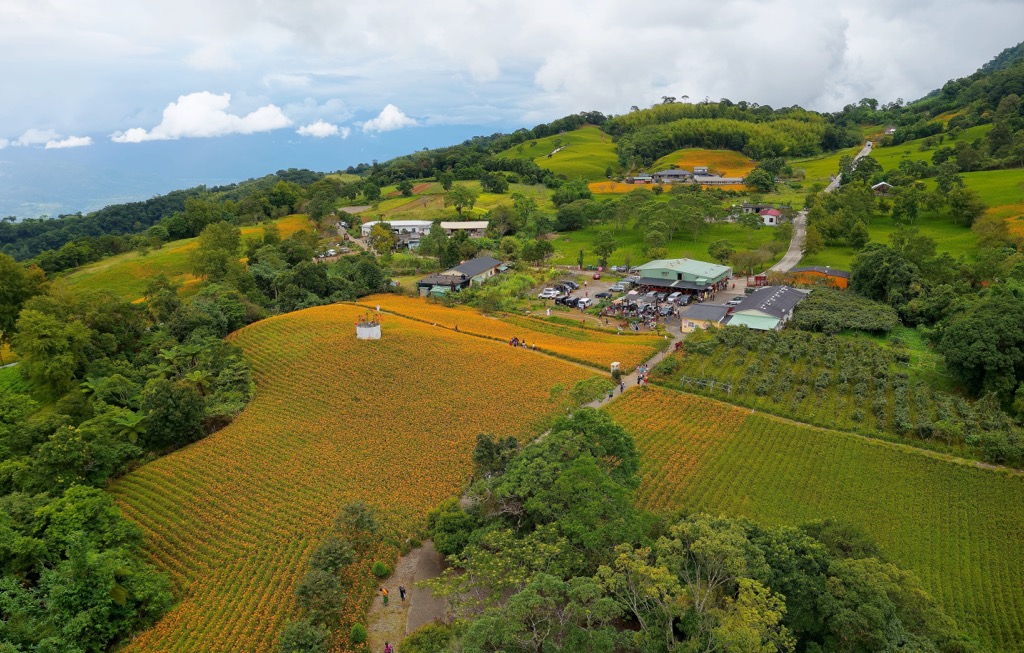
Another of Yuli Township’s highlights is the walk up Liushishishan (六十石山). Your climb up the 956 meter (3,136 ft) hill affords generous views of the Huadong Valley and the Pacific Ocean. If you visit in the summer, daylillies bloom along the hill, bursting in a golden floral carpet.
Finally, make your way to Nanan Waterfall (南安瀑布) to view a 50-meter (164 ft) gushing rapid. Usually a pre-trek walk on the Walami Trail, the Nanan Waterfall is situated near to the trailhead and is shrouded in mistry vapor and lush emerald shrubbery.
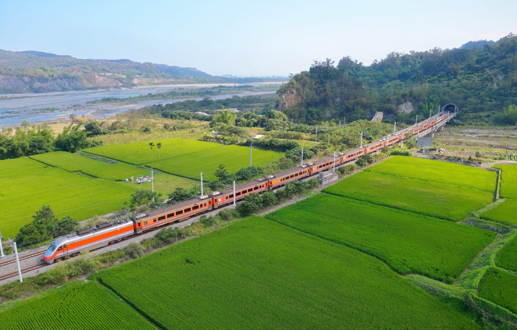
As public transport is limited to Xiangyang Forest Recreation Area, it is best to hire a car or scooter from the nearest city. Take the local express train (TRA) from any of Taiwan’s major cities to Taitung City. Once there, it is a 102 km (63 mi) journey from Taitung City to the Xiangyang Forest Recreation Area.