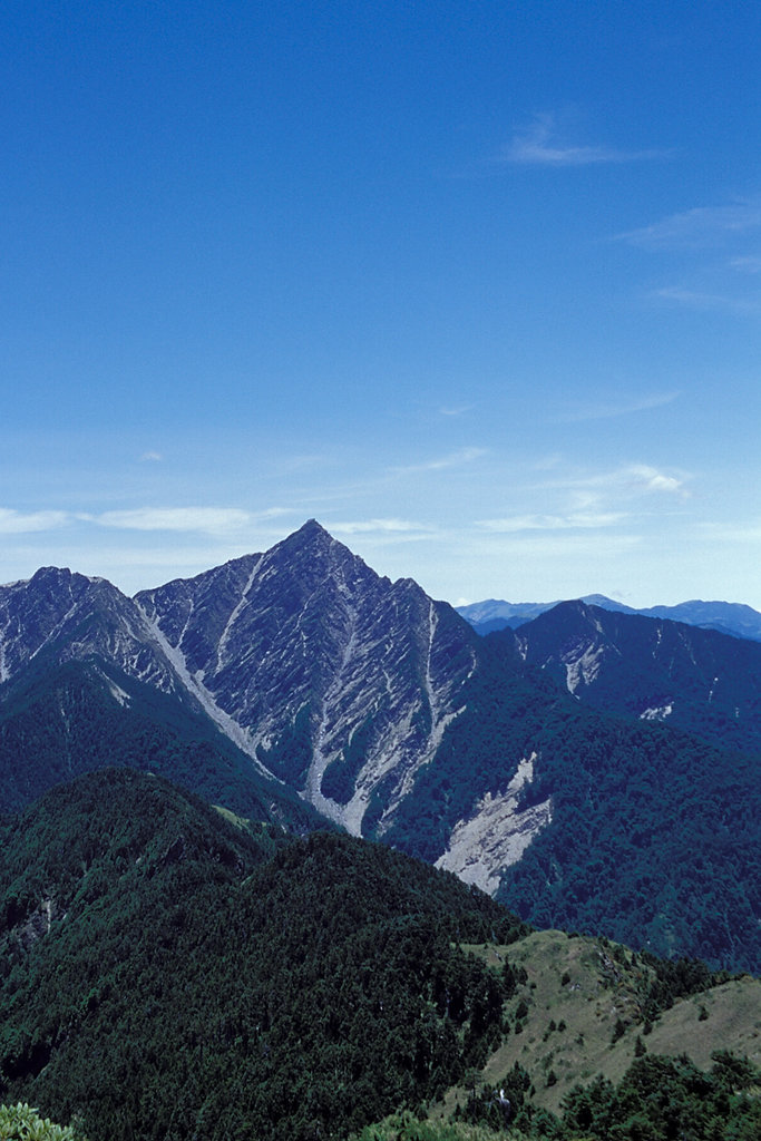
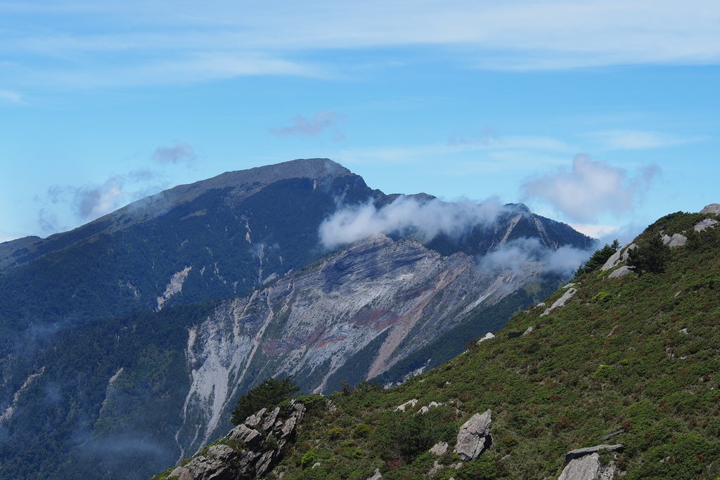
Taiwan’s Central Mountain Range (中央山脈) is the general name for the range of mountains that span the length of central Taiwan from north to south. Taiwanese often refer to the mountain range as “Taiwan’s Protector,” because it’s unique shape and location protects the most heavily populated areas of the island from nearly all typhoon damage. Strictly speaking, the tallest peak in the Central Mountain Range is Xiugulan Mountain (秀姑巒山), which reaches a height of 3,805 meters. However, the Central Mountain Range connects with many of Taiwan’s other major mountain ranges, including Yushan (3,952 meters) and Xueshan (3,886 meters).
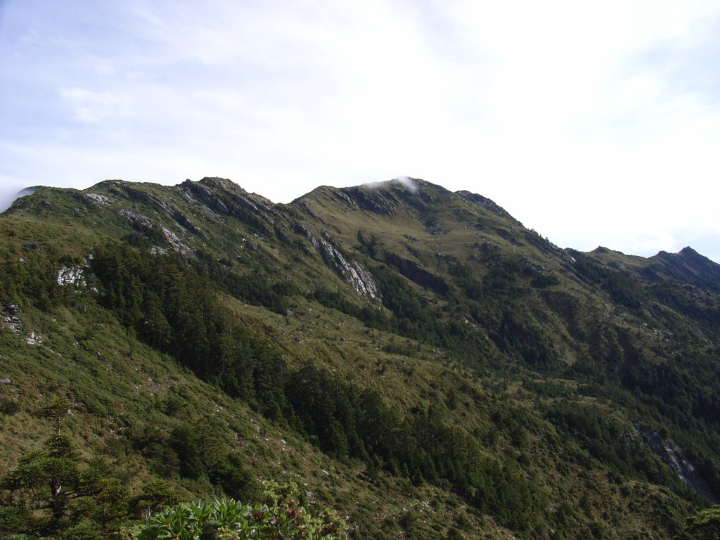
The Central Mountain Range covers a vast portion of Taiwan’s area and is sparsely populated. The ecology of the area varies greatly, from subtropical evergreen forests, coastal plains, and subalpine forests. Like Alishan, the Central Mountain range is home to the Tsou aboriginal tribe, as well as the Bunun people. The mountain range was logged extensively in the early 20th century by the Japanese after the construction of the Batongguan Trail (八通關越嶺古道) that crossed the mountain range.
The Central Mountain Range is a more general term that covers a majority of the most well-known peaks in Taiwan. The tectonic activity along the mountain range creates steep rocky peaks, and the relatively low population density has allowed Taiwan’s indigenous wildlife to flourish, including Formosan black bears and native deer.
Major Trails and Hiking Areas
Mount Guan (3,668 meters): Located in Taitung in eastern Taiwan, Mount Guan is known as the home of Taiwan’s best rice, and people make trips here especially for the bento boxes. Here you can enjoy views of endless rice paddies, climb the Motianling (摩天嶺) Trail (1,546 meters),
Yushan National Park (3,952 meters): Yushan is arguably the most popular mountain for hiking and mountain climbing in Taiwan. Due to its height and the difficulty of its trails, hikers must apply for passes to enter the national park. The national park covers a total of more than 100,000 hectares.
Tianlong Ancient Road: This trail is only slightly longer than 1 kilometer, but it is entirely covered by forest and is the only road linking the Lidao Tribal Village to the outside world. Along the trail, hikers can view some of Taiwan’s best preserved valley ecosystems as well as rare indigenous flora.
Yakou (2,722 meters): Yakou is located atop Mount Guan and is both the highest tunnel in Taiwan and the link between the east and west ends of the cross-mountain highway. Visitors can walk the area and take in the views from the various pavilions along the way, where they will see Guanshanling Mountain (3,222 meters), Mount Guan, and Kuhanuosin Mountain (3,115).
Tianchi: This mountain lake is located at 2,541 meters above sea level and contains water year-round. It is known for being a lucky lake, and it is said that travelers that circle it three times to the right and three times to the left will have their wishes come true, because the magnetic field is especially strong here.
Hehuanshan (3,422 meters): This peak is another popular hiking and touring destination for Taiwanese travelers, because it is reachable both by car and on foot. Once at the highway summit, travelers can disembark and wander along the numerous nearly deserted mountain trails shrouded in fog.
Aowanda National Forest: This nearly 3,000 hectare forest area is located between 1,100-2,600 meters above sea level, and is best known for its abundance of maple trees and natural waterfalls and rivers.
The Central Mountain Range is Taiwan’s least densely populated area. As it spans nearly the entire length of Taiwan, it is possible to reach a number of cities and towns quickly.
Fenqihu: Travelers wanting to stay on Alishan can look for lodging in this historic logging town.
Xitou: An “experimental forest” located deep in the mountains, travelers here can find rustic bed & breakfasts and enjoy mountain cuisine.
Taitung: This city is located close to Guanshan and is a popular destination for Taiwanese travelers trying to escape the bustle of the city.
Qingjing: A tourist farm located high in the mountains, visitors can watch daily sheep herding shows and walk among the livestock.
This 3D model of Sagarmatha National Park in Nepal was made using the PeakVisor app topographic data. The mobile app features higher precision models worldwide, more topographic details, and works offline. Download PeakVisor maps today.
Download OBJ model
PeakVisor
The download should start shortly. If you find it useful please consider supporting the PeakVisor app.
PeakVisor for iOS and Android
Be a superhero of outdoor navigation with state-of-the-art 3D maps and mountain identification in the palm of your hand!