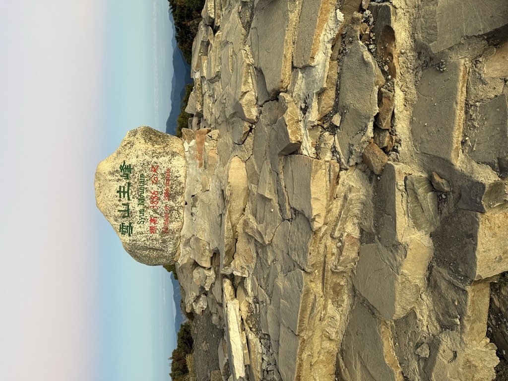
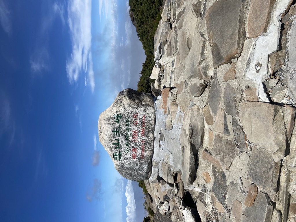
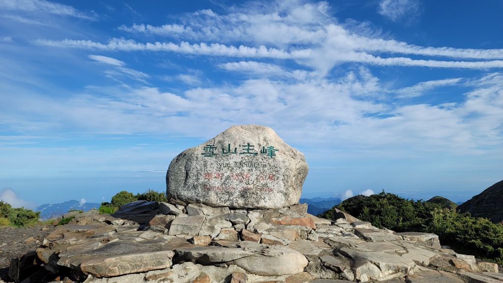
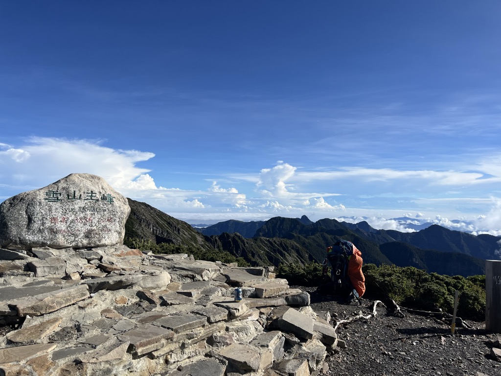
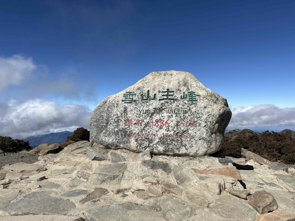
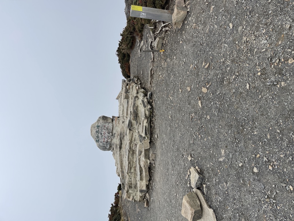
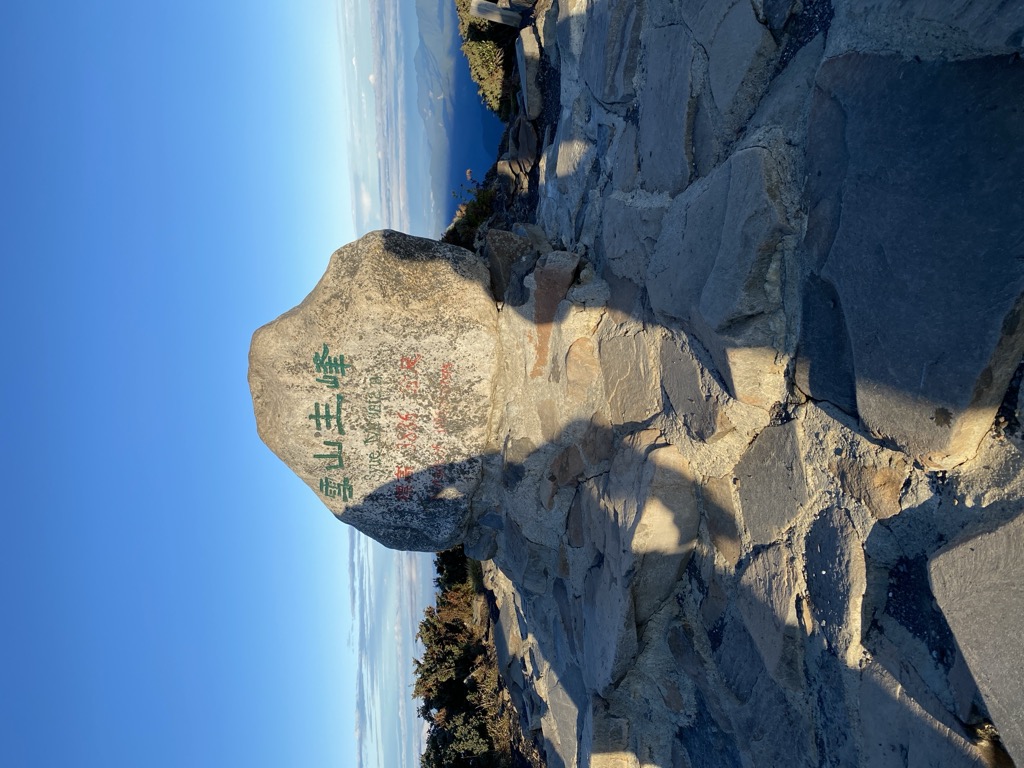
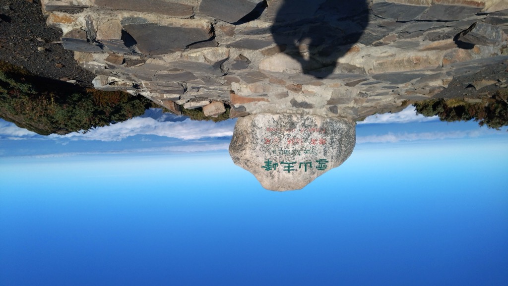
Xueshan or Sekuwan (in Atayal, formerly known as Mount Sylvia among others) is a mountain in the Heping District of Taichung, Taiwan. It is the 2nd-highest mountain in Taiwan and in East Asia, at 3,886 m (12,749 ft) above sea level. It is located in the Shei-Pa National Park and is visible in good weather from hills near Taiwan's capital Taipei.
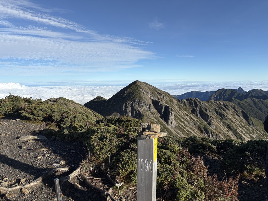
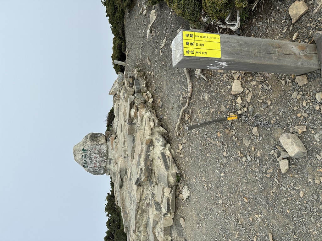
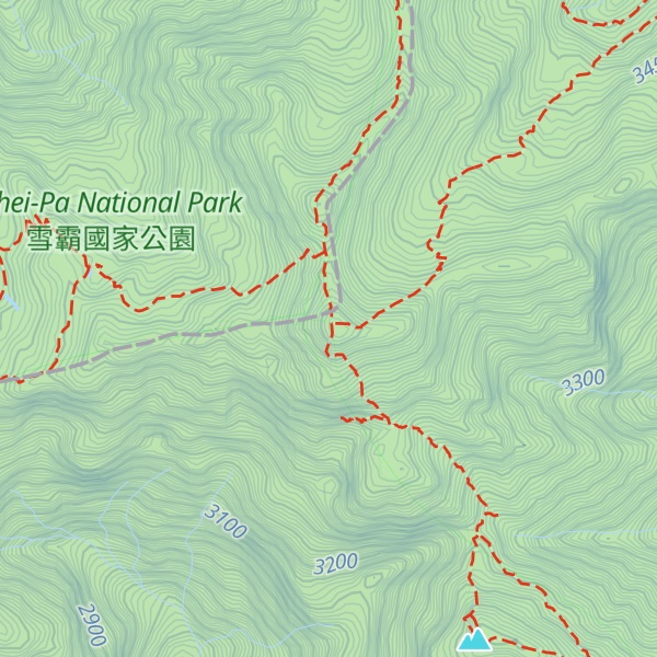
There's a hiking trail (T2) called 雪山主峰-志佳陽大山步道 leading to the summit.
The nearest mountain hut is Cui Hut located 926m/3 040ft WNW of the summit.
By elevation Xueshan / Snow Mountain is
# 1 out of 1234 in the Xueshan Range # 2 out of 4492 in the Taiwan Mountains # 1 out of 362 in Miaoli County # 1 out of 254 in Taichung # 1 out of 98 in Shei-Pa National Park # 2 out of 2855 in Taiwan Province # 2 out of 4586 in Taiwan # 1 out of 24 in 大劍山、佳陽山生態保護區 # 1 out of 21 in 台灣櫻花鈎吻鮭生態保護區 # 1 out of 31 in 雪山、大霸尖山生態保護區
By prominence Xueshan / Snow Mountain is
# 1 out of 1234 in the Xueshan Range # 2 out of 4492 in the Taiwan Mountains # 1 out of 362 in Miaoli County # 1 out of 254 in Taichung # 1 out of 98 in Shei-Pa National Park # 2 out of 2855 in Taiwan Province # 2 out of 4586 in Taiwan # 1 out of 24 in 大劍山、佳陽山生態保護區 # 1 out of 21 in 台灣櫻花鈎吻鮭生態保護區 # 1 out of 31 in 雪山、大霸尖山生態保護區
We use GPS information embedded into the photo when it is available.
3D mountains overlay
Adjust mountain panorama to perfectly match your photos because recorded by camera photo position might be imprecise.
Move tool
Rotate tool
Zoom
More customization
Choose which peak labels should make into the final photo and what photo title should be.
Next
Photo Location
Satellitte
Flat map
Relief map
Latitude
Longitude
Altitude
OR
Latitude
°'''
Longitude
°'''
Apply
Register Peak
Peak Name
Latitude
Longitude
Altitude
Register
Teleport
PeakVisor
This 3D model of Sagarmatha National Park in Nepal was made using the PeakVisor app topographic data. The mobile app features higher precision models worldwide, more topographic details, and works offline. Download PeakVisor maps today.
Download OBJ model
PeakVisor
The download should start shortly. If you find it useful please consider supporting the PeakVisor app.
PeakVisor for iOS and Android
Be a superhero of outdoor navigation with state-of-the-art 3D maps and mountain identification in the palm of your hand!