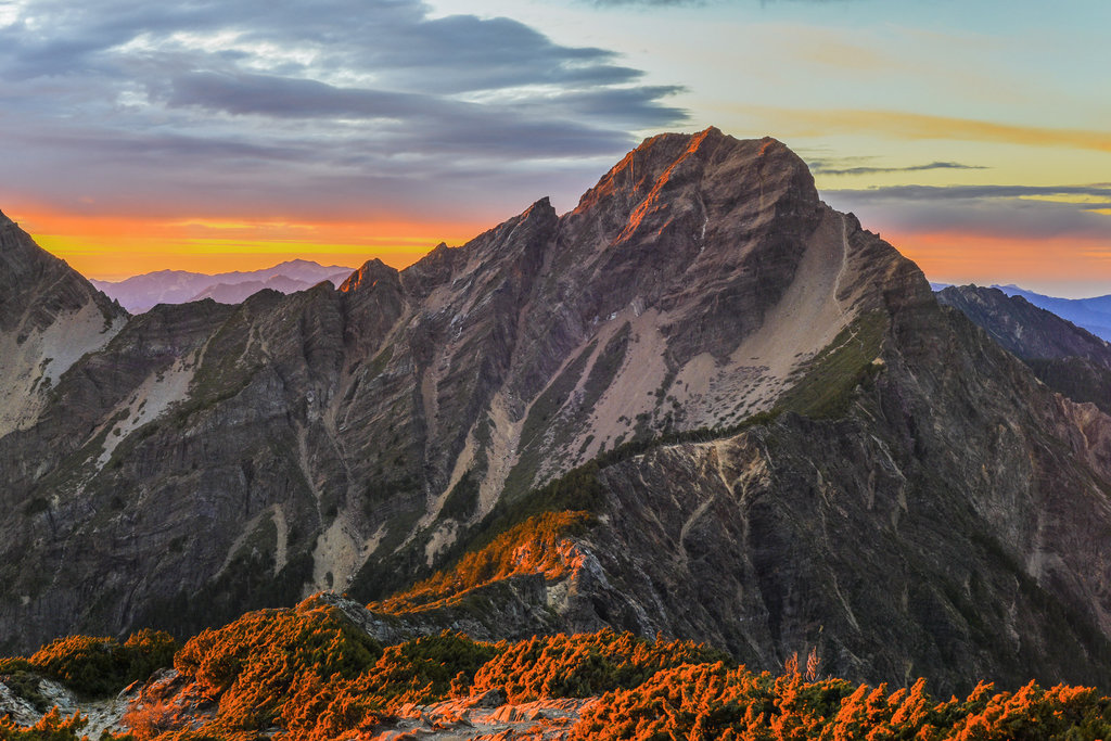
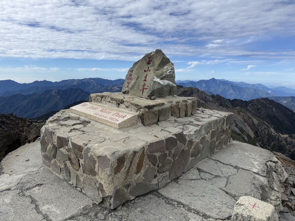
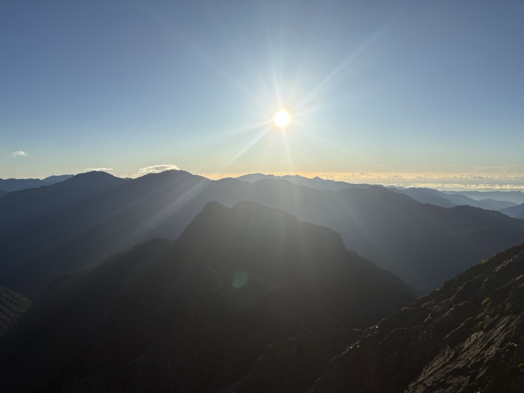
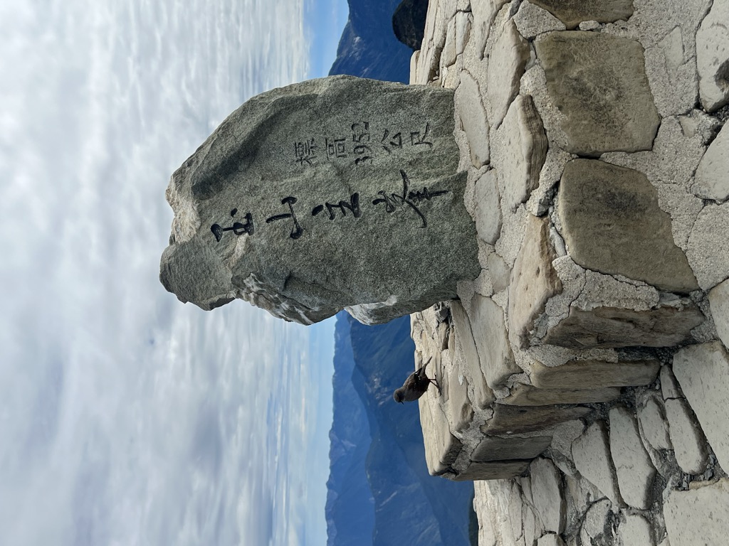
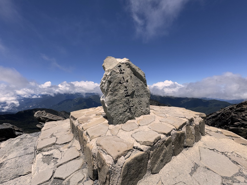
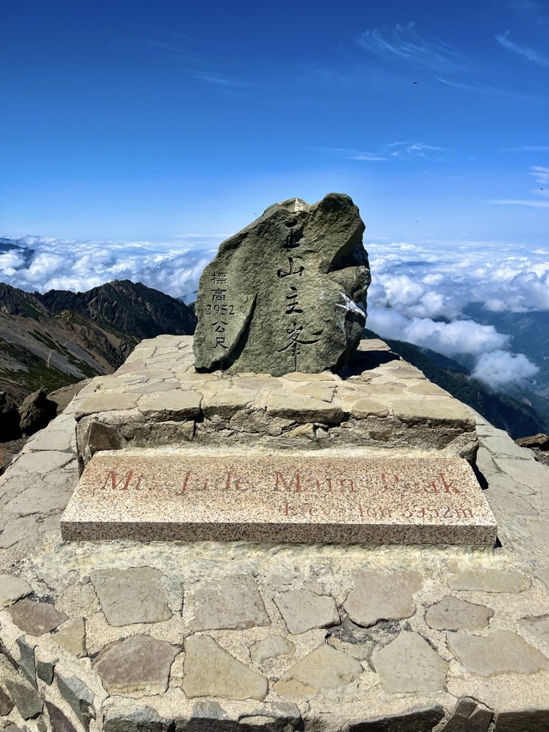
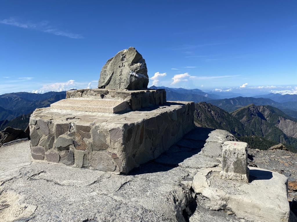
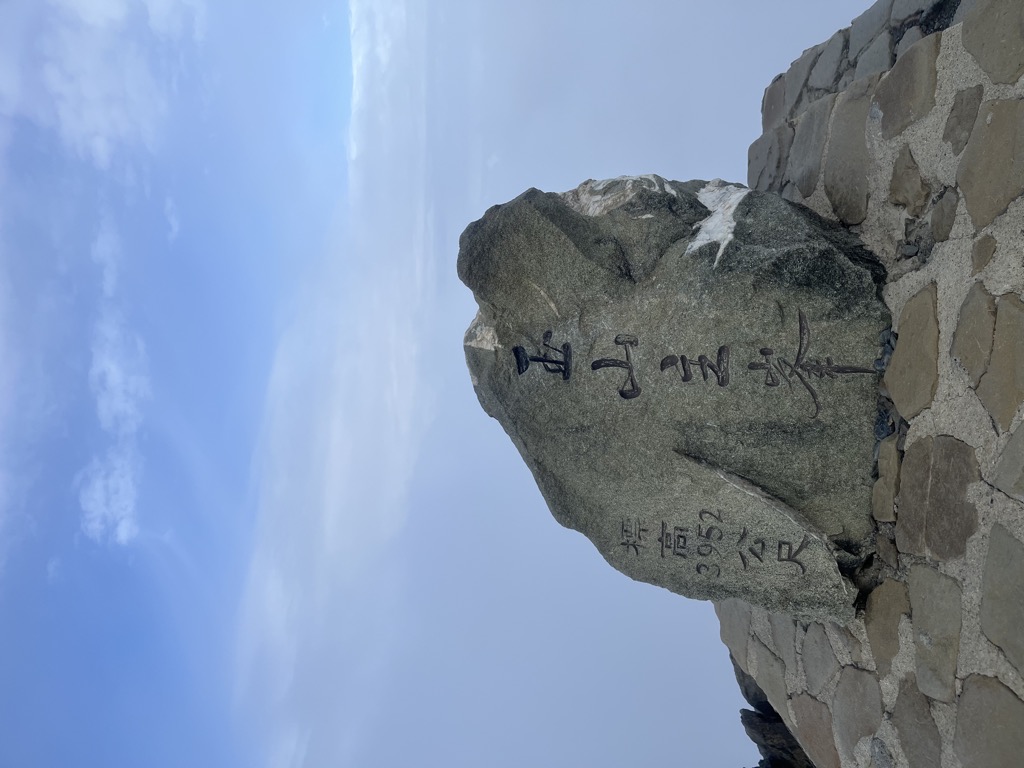
Yu Shan or Yushan, also known as Mount Jade, Jade Mountain, Tongku Saveq or Mount Niitaka during Japanese rule, is the highest mountain in Taiwan at 3,952 m (12,966 ft) above sea level, giving Taiwan the 4th-highest maximum elevation of any island in the world. It is the highest point in the western Pacific region outside of the Kamchatka Peninsula. Yushan and its surrounding mountains belong to the Yushan Range. The area was once in the ocean; it rose to its current height because of the Eurasian Plate's movement over the Philippine Sea Plate. Yushan is ranked 40th by topographic isolation.
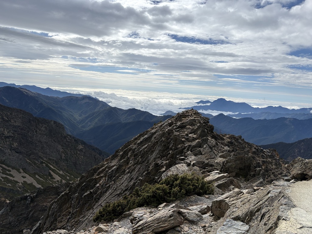
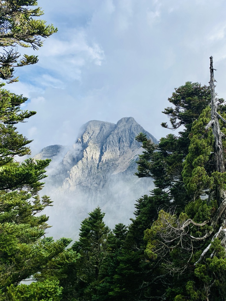
The mountains are now protected as the Yushan National Park. The national park is Taiwan's largest, highest, and least accessible national park. It contains the largest tract of wilderness remaining on the island.
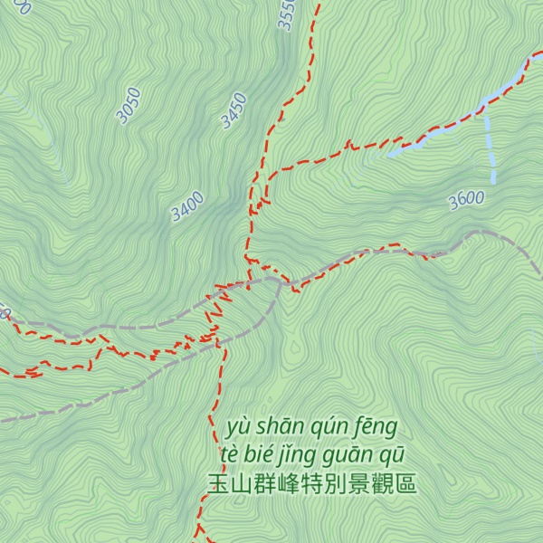
There's a demading hiking trail (T3) called 玉山步道 leading to the summit.
The nearest mountain hut is Paiyun Lodge located 837m/2 747ft WSW of the summit.
By elevation Yushan / Jade Mountain is
# 1 out of 154 in the Yushan Range # 1 out of 4492 in the Taiwan Mountains # 1 out of 349 in Kaohsiung # 1 out of 510 in Nantou County # 1 out of 197 in Chiayi County # 1 out of 2855 in Taiwan Province # 1 out of 121 in Yushan National Park # 1 out of 4586 in Taiwan # 1 out of 11 in 玉山群峰特別景觀區
By prominence Yushan / Jade Mountain is
# 1 out of 154 in the Yushan Range # 1 out of 4492 in the Taiwan Mountains # 1 out of 349 in Kaohsiung # 1 out of 510 in Nantou County # 1 out of 197 in Chiayi County # 1 out of 2855 in Taiwan Province # 1 out of 121 in Yushan National Park # 1 out of 4586 in Taiwan # 1 out of 11 in 玉山群峰特別景觀區
We use GPS information embedded into the photo when it is available.
3D mountains overlay
Adjust mountain panorama to perfectly match your photos because recorded by camera photo position might be imprecise.
Move tool
Rotate tool
Zoom
More customization
Choose which peak labels should make into the final photo and what photo title should be.
Next
Photo Location
Satellitte
Flat map
Relief map
Latitude
Longitude
Altitude
OR
Latitude
°'''
Longitude
°'''
Apply
Register Peak
Peak Name
Latitude
Longitude
Altitude
Register
Teleport
PeakVisor
This 3D model of Sagarmatha National Park in Nepal was made using the PeakVisor app topographic data. The mobile app features higher precision models worldwide, more topographic details, and works offline. Download PeakVisor maps today.
Download OBJ model
PeakVisor
The download should start shortly. If you find it useful please consider supporting the PeakVisor app.
PeakVisor for iOS and Android
Be a superhero of outdoor navigation with state-of-the-art 3D maps and mountain identification in the palm of your hand!