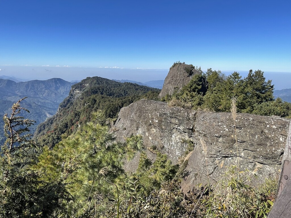
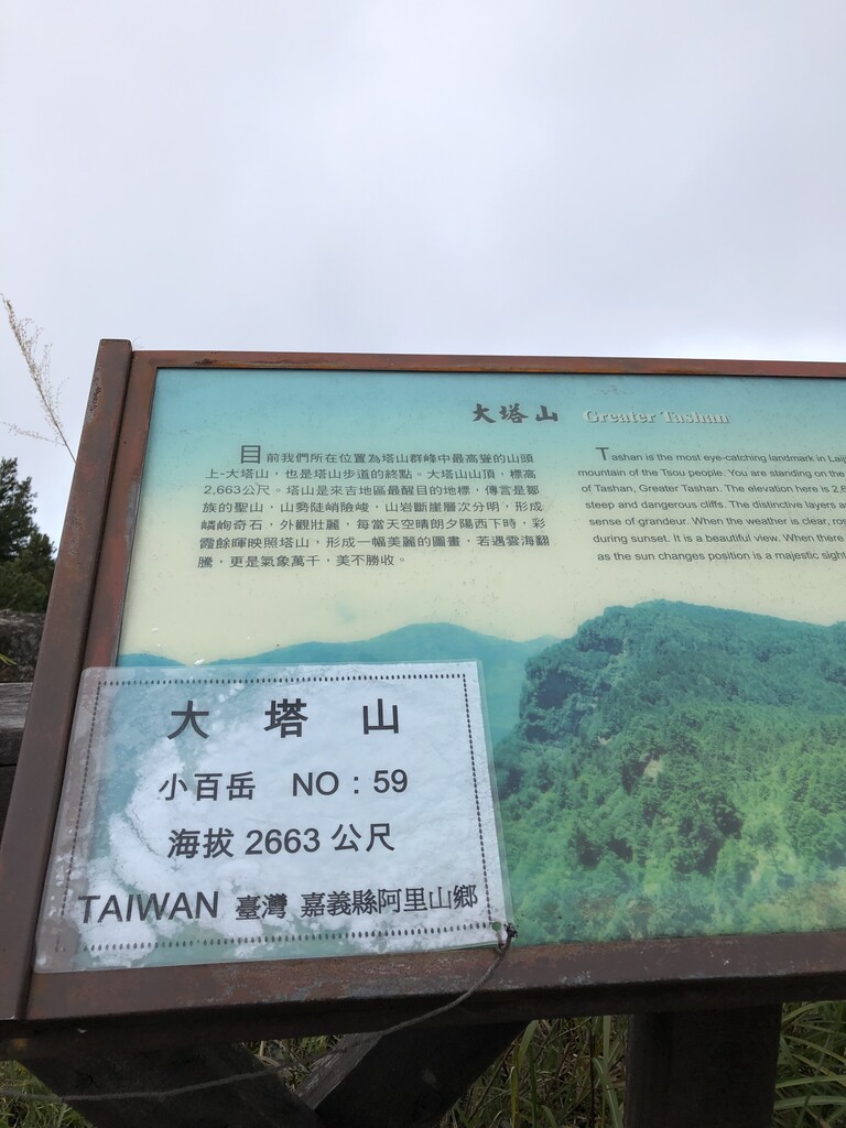
Alishan (阿里山) is a range of mountains located within the greater Central Taiwan Mountain Range. The peaks of Alishan average approximately 2,500 meters, and the tallest peak, Datashan (大塔山) reaches a height of 2,663 meters. On clear days, travelers can see Yushan (玉山), Taiwan’s tallest mountain, from Alishan. The mountains are located in the Alishan National Scenic Area, which covers an area of more than 40,000 hectares and spans four townships: Meishan, Zhuqi, Fanlu, and Alishan.
Alishan is home to Taiwan’s aboriginal Tsou population (鄒族), and many of their traditional villages can still be found there today. Ethnic Chinese began settling the area only in the 19th century. Upon the construction of Alishan’s Forest Railway during the Japanese colonization of Taiwan, the speed of settlement increased exponentially.
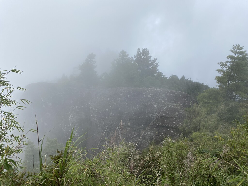
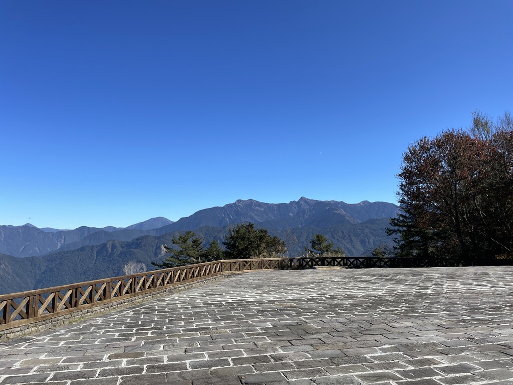
Though the peaks of Alishan are not the tallest in Taiwan, they possess countless hiking trails, abundant indigenous wildlife, authentic aboriginal culture experiences, and unbeatable views. Alishan’s trails are best for novice hikers or family trips, as most of the trails are paved or planked and have very gradual inclines.
Major Trails and Hiking Areas
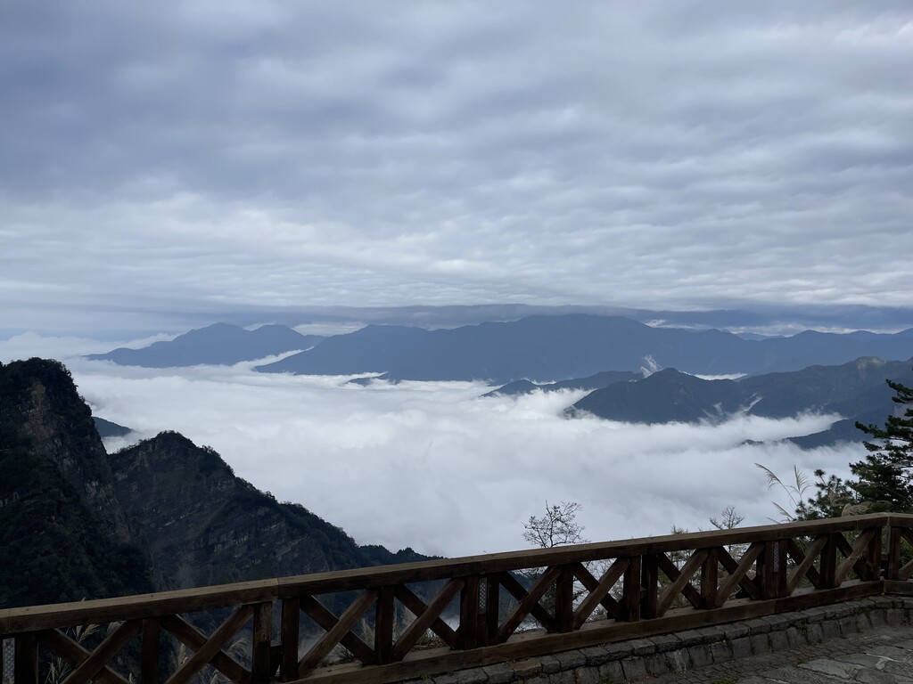
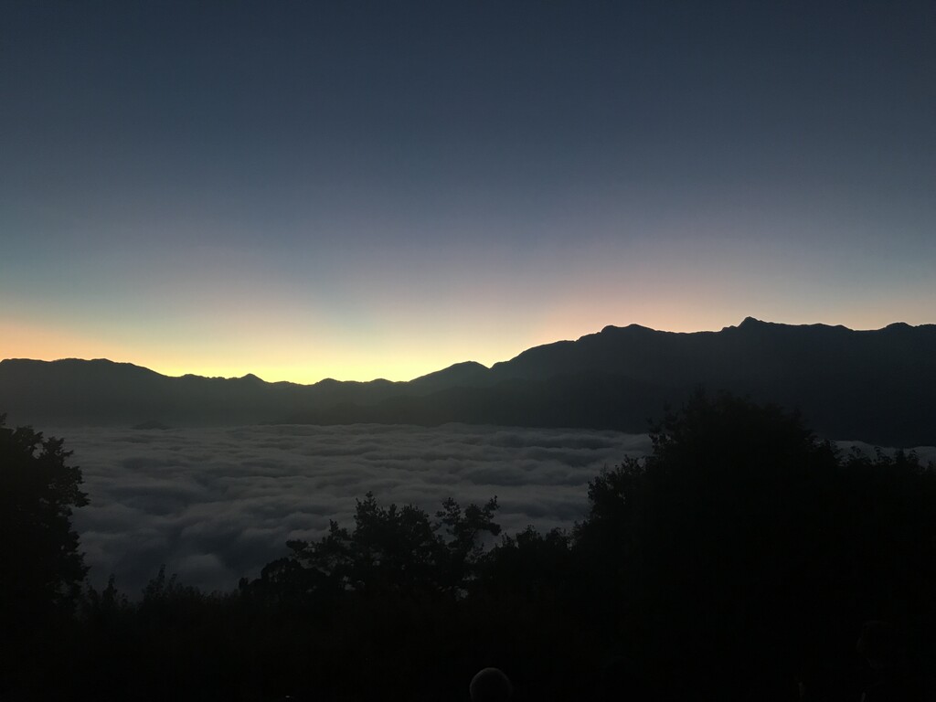
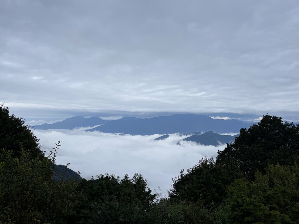
Eryanping Trail: This trail was originally less than 1 kilometer in length until it was lengthened using a wooden board path. Here hikers can pass through tea farms, bamboo forests, and rock formations. When the weather is good, there are also views of the “sea waterfall” and “cloud sea” here.
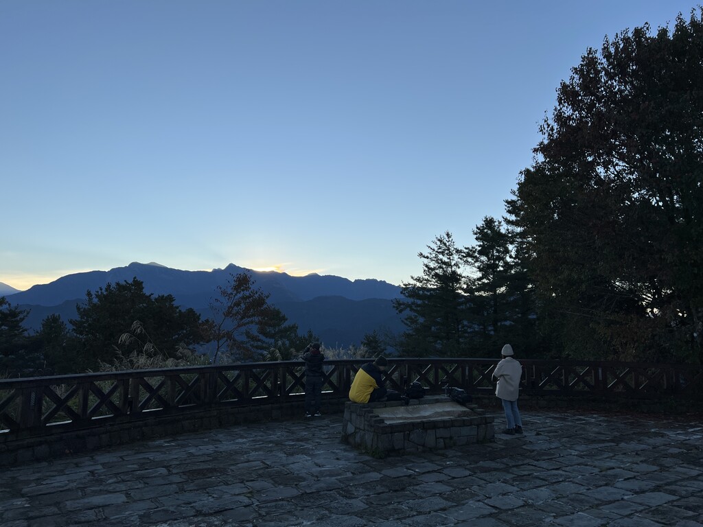
Zhushan: Alishan’s most famous attraction is arguably its sunrise views, and hundreds of people summit Zhushan’s sunrise viewing platform each day for the best view. Travelers can take the Alishan Sunrise Viewing Train to the platform and explore the various trails that extend outwards from the platform.
Giant Trees Trail: Alishan’s temperate climate creates perfect conditions for the massive Formosan red cypress. These trees were viewed as sacred by the Tsou people. Hikers can walk on the looping plank path to view the giant trees, some of which have already been completely hollowed out, as well as small temples to tree spirits.
Shuigupan Cliff Art Forest: This natural rock slope located in Alishan’s forest is the perfect hike for adventurous travelers. Ropes hammered into the rock slope allow climbers to walk along the smooth surface.
Jiaolong Waterfall: The tallest waterfall in Taiwan, Jiaolong Waterfall cascades more than 600 meters from top to bottom. The number of levels in the waterfall changes with the seasons.
Danayigu Valley and Ecological Park: Conservation efforts by the local residents of Danayigu Valley have caused a resurgence in the indigenous fish and butterfly populations. Here hikers can also view a number of Alishan’s flowering and nectar plants.
Xiding Trails: These trails take visitors through tea plantations, bamboo forests, and cypress forests. Walking among the tea fields, hikers will see tea farmers harvesting tea leaves along terraced rows all down the mountainside. The trail also offers unparalleled views of Yushan and Xiang Mountain in the distance.
Fenqihu Trail: Located farther down the mountain, the Fenqihu trail begins in the historic Fenqihu Township, a remnant of Alishan’s logging days. The wood plank trail meanders through bamboo forests past traces of the Japanese colonial period.
Fushan Ancient Trail: This trail is one of the longer trails in the Alishan National Scenic Area at 5 kilometers, and it begins in the Fushan Village before making its way upward.
Miyang Creek Trail: For bird-watching enthusiasts, the Miyang Creek Trail provides countless opportunities to view some of Taiwan’s rare indigenous birds while walking among the fragrant plum trees.
Erjian Mountain (1274 meters): This peak is located in the Meishan Township and is home to countless trails with scenic views from rest pavilions along the way. As the weather begins to cool in autumn, cloud seas can be seen from this peak.
Ruili: Home to unique topography and wildlife, visitors to Ruili can go to the Swallow Cliff and 1,000 Year Bat Cave. Swallow Cliff’s protruding shape creates a water curtain on rainy days, while the 1,000 Year Bat Cave is a honeycombed rock surface once home to thousands of bats.
Railways
Sunrise Train
Sacred Tree Line
Zhushan Line
MianYuei Line
Major Cities and Resorts
As a National Scenic Area, Alishan is home to mostly aboriginal tribes that have historically lived there. Major villages and townships include:
Fenqihu: Travelers wanting to stay on the mountain can look for lodging in this historic logging town
Tfuya: Considered the oldest Tsou settlement in Alishan, the village was probably formed around 1300 CE
Dabang: The largest Tsou village, Dabang is home to the annual war rite known as “mayasvi”
Hinoki and Linye Villages: These two villages are constructed in the traditional Japanese style reminiscent of Taiwan’s colonial period
The highest peak in the Alishan Range is Datashan, at 2,663 m.
How many peaks are in the Alishan Range?
The Alishan Range have 569 named peaks.
Register Peak
Peak Name
Latitude
Longitude
Altitude
Register
Teleport
PeakVisor
This 3D model of Sagarmatha National Park in Nepal was made using the PeakVisor app topographic data. The mobile app features higher precision models worldwide, more topographic details, and works offline. Download PeakVisor maps today.
Download OBJ model
PeakVisor
The download should start shortly. If you find it useful please consider supporting the PeakVisor app.
PeakVisor for iOS and Android
Be a superhero of outdoor navigation with state-of-the-art 3D maps and mountain identification in the palm of your hand!