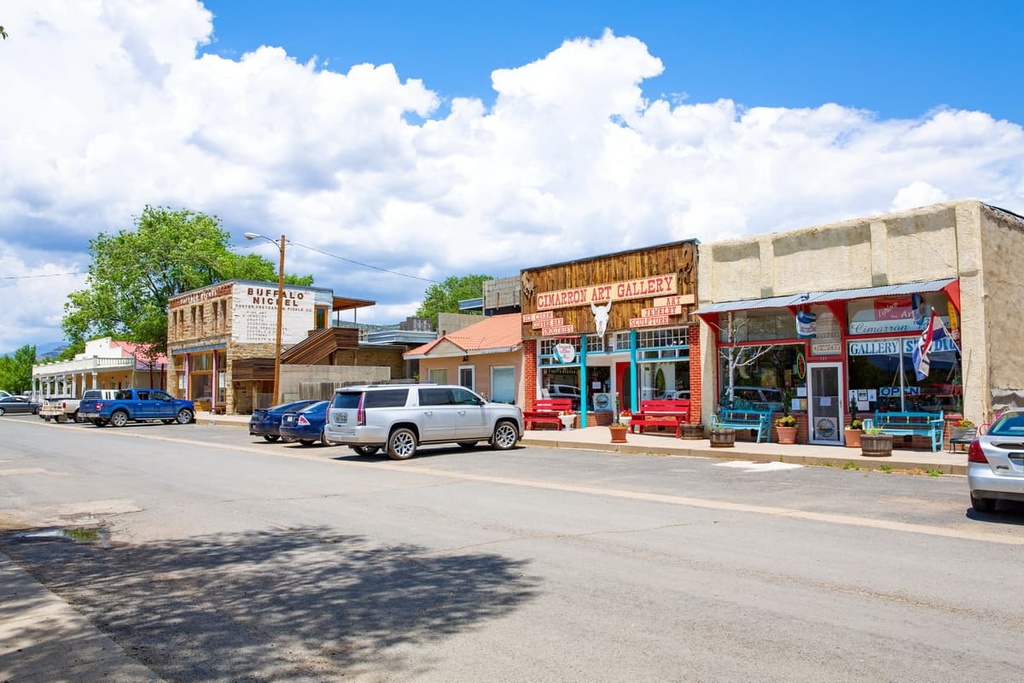
Get PeakVisor App
Sign In
Search by GPS coordinates
- Latitude
- ° ' ''
- Longitude
- ° ' ''
- Units of Length

Yes
Cancel
❤ Wishlist ×
Choose
Delete
The Philmont Scout Ranch is a Boy Scouts of America (BSA) High Adventure base that’s located in the northern region of the US state of New Mexico. By land area, the ranch is one of the largest youth camps in the world. The ranch is home to 30 named peaks, the highest of which is Baldy Mountain (12,441 ft/3,792 m), and the most prominent of which is Bunkhouse Bare Point (11,739 ft/3,578 m).
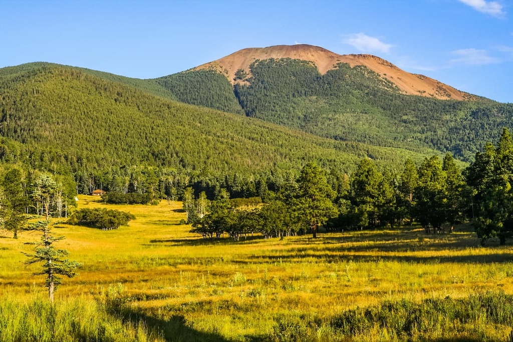
The Philmont Scout Ranch lies within the Sangre de Cristo Mountains in northern New Mexico near the state’s border with Colorado. The ranch encompasses 219 sq. miles (567 sq. km) of land and is owned and operated by the Boy Scouts of America.
The peaks throughout the ranch are some of the southernmost mountains of the Southern Rocky Mountains. Part of nearby Carson National Forest lies to the west of the scout camp, though the two areas are separated by a wide valley that contains Eagle Nest Lake.
Elevations in Philmont range from 6,500 ft (2,000 m) in the southeastern portion of the ranch, up to the summit of Baldy Mountain, which is situated on the northwestern edge of the ranch. A majority of the prominent peaks can be found in the southwestern portion of the ranch.
Philmont Scout Ranch is home to various creeks and streams. Forested hillsides cover most of the land in the ranch, though some of the taller peaks and ridgelines on the property are above the treeline. In the eastern region of the ranch, a small portion of land is classified as a prairie landscape.
Other nearby areas of protected land around the Philmont Scout Ranch include Carson National Forest to the north, south, and west along with Wheeler Peak Wilderness, Latir Peak Wilderness, and Columbine-Hondo Wilderness to the west. The Colin Neblett State Wildlife Area also lies directly to the north of the ranch.

The peaks within the Philmont Scout Ranch are part of the Sangre de Cristo Mountains. They are one of the southernmost subranges of the Southern Rocky Mountains.
These peaks began forming during the Laramide orogeny. During this time, there was widespread uplift, which folded and compacted the existing Earth to form the rugged peaks that we see today. This subrange was uplifted around 20 million years ago, making it one of the youngest ranges in the area.
Continual folding thrust the peaks even higher, giving way to the steep hillsides and narrow valleys that are now found throughout the ranch. The oldest rock in the ranch is gneiss that dates back to the Precambrian. Common rocks found throughout the ranch include limestones, sandstones, and dolomites.
Though the ranch contains some of the southernmost peaks within the Rocky Mountains, the region was still heavily glaciated during the last major glaciation. Glacial retreat further carved out the landscape, leaving behind the valleys and drastic changes in elevation that now dominate the region.
Major peaks within the Philmont Scout Ranch include Baldy Mountain, Bunkhouse Bare Point, Black Mountain, Trail Peak, Urraca Mesa, and Shaefers Peak.
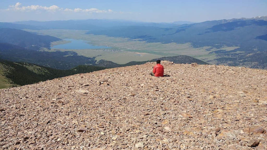
The drastic changes in elevation found throughout the ranch allow for a variety of both flora and fauna to thrive. The prairie landscape in the ranch is relatively flat, providing the ideal habitat for various types of grasses.
A majority of the landscape is marked by densely forested hillsides. Pinyon pine and ponderosa pine dominate the lower elevations while aspens and conifers are common at mid elevations in the region.
Spruce and fir trees thrive at the highest elevations in Philmont Scout Ranch though a few of the tallest peaks on the ranch’s property are located above the treeline. The alpine tundra portions of the ranch are home to low growing grasses and wildflowers.
Fauna in Philmont Scout Ranch is similar to much of the Southern Rocky Mountains. Populations of mule deer, elk, black bear, and mountain lion roam freely in the region, often staying near the densely forested sections.
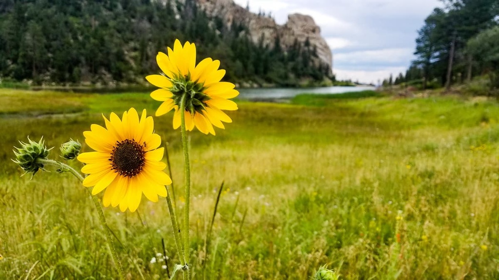
The alpine tundra landscape is home to pica, marmot, and bighorn sheep, which are often spotted during the summer months. The ranch’s close proximity to various wilderness areas and an expansive national forest, also make it a particularly great place to see wildlife.
The land surrounding the Philmont Scout Ranch has a long and rich human history that dates back over 10,000 years.
This region is part of the traditional territory for multiple Indigenous groups including the Puebloans (particularly the Taos Pueblo), the Jicarilla Apache Nation, and the Ute (Núu-agha-tʉvʉ-pʉ̱). Over 1,000 years ago, the Pueblo of the Four Corners region migrated to the area.
The Taos Pueblo community lies just west of the ranch and contains the oldest continuously inhabited dwelling in all of North America. The land within and surrounding the ranch marks traditional hunting grounds of the nomadic Kiowa, Ute, and Apache peoples.
Spanish settlers arrived in the region during the sixteenth century, after which point, they started forcibly taking the land from local Tribal Nations. In 1821, the region was placed under the rule of Mexico following the Mexican War of Independence. In 1848, the land was ceded to the United States as part of the treaty of Guadalupe Hidalgo.
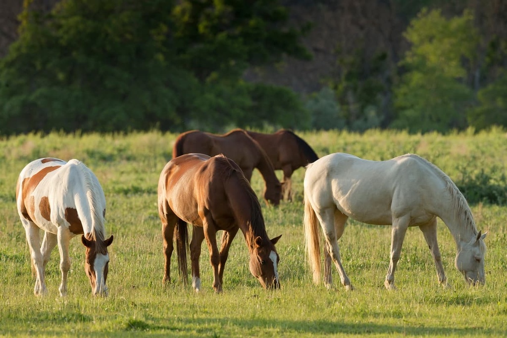
During the mid-1800s, the Santa Fe Trail passed through the ranch, bringing many people to the region, particularly around the time of the New Mexico Gold Rush.
Throughout the following decades, the land was bought, sold, and traded by many ranchers, until oil magnate Waite Phillips purchased much of the region in the 1920s. After acquiring the land, Phillips turned the region into a private game reserve.
In 1938, Phillips donated Philmont to the Boy Scouts of America and designated his villa to be used as a training center. The first Boy Scouts to formally visit the ranch were participants in the 1939 Philturn Rocky Mountain Scout Camp.
As of 2022, Philmont is believed to be the world’s largest youth camp by total area. The ranch contains more than 315 miles (507 km) of trails, 770 campsites, and 35 staffed backcountry camping areas.
According to the ranch’s managers, over 22,000 Scouts and Leaders visit Philmont each year. During the summer, approximately 350 Scouts arrive at the ranch every day to prepare before they set out on a 12-day backcountry expedition.
There are numerous day hikes and backpacking routes within Philmont Scout Ranch. However, anyone looking to visit Philmont needs to get permission from the ranch in order to hike through its backcountry.
Philmont is a privately managed ranch, so non-Scouts generally aren’t allowed on its trails or at its campsites unless they sign up for an arranged adventure. Although most of the ranch’s summertime programming is designed for Scout troops, the ranch does offer some fall, winter, and spring activities for non-Scouts.
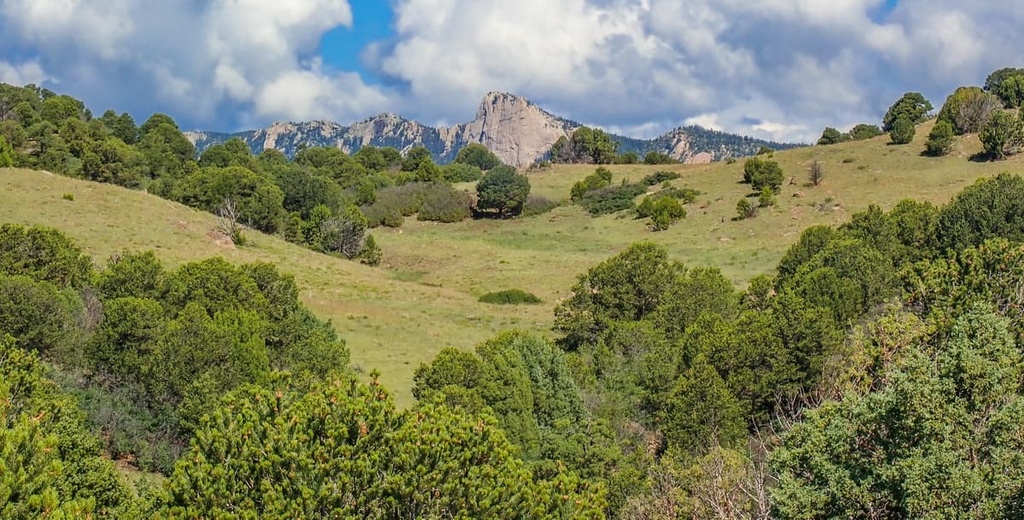
That said, if you get permission to travel to the ranch, some of the many hikes available include:
Looking for a place to stay near the Philmont Scout Ranch? Here are some of the best cities and villages to check out in the region:
Eagle Nest lies on the western edge of the Philmont Scout Ranch and is surrounded by Carson National Forest, Colin Neblett State Wildlife Area, and Eagle Nest Lake State Park. With a population of under 300 residents, Eagle Nest is a quiet and laid-back mountain town.
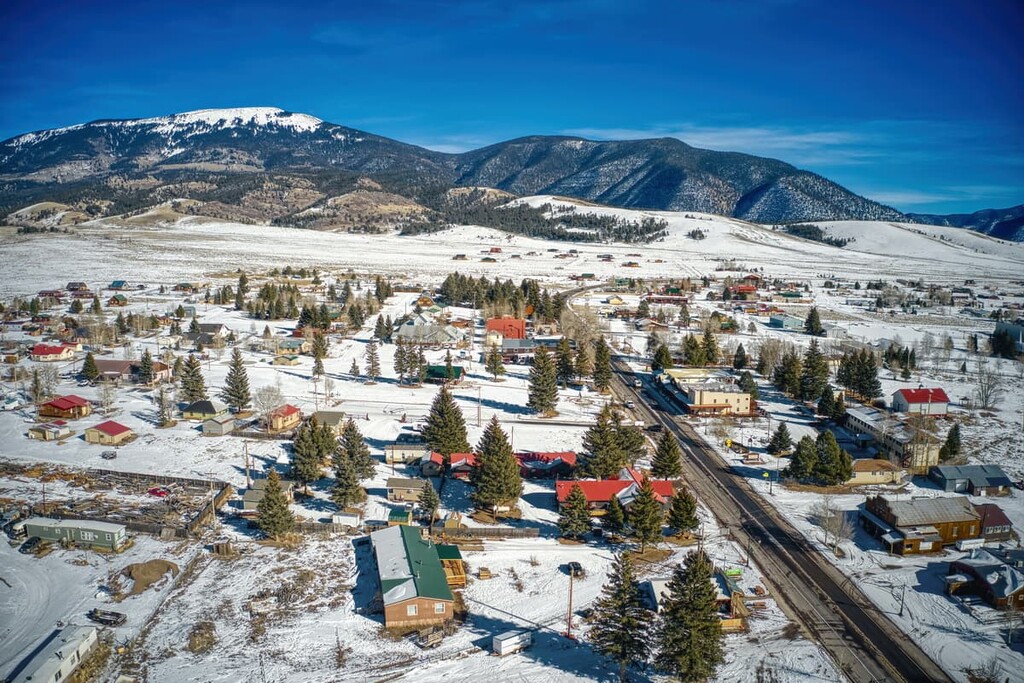
The small community of Eagle Nest is a haven for fisherman and other outdoor enthusiasts, due to its close proximity to the outdoors. Nearby lie the Angel Fire, Red River, and the Taos Ski Valley ski areas.
Local shops and restaurants line the small downtown area in Eagle Nest. Though small in size, Eagle Nest is also known for its wildlife preservation event called the Bear Benefit that’s held each June.
Red River is a small resort town located just outside the ranch. Though home to under 500 residents each year the town hosts thousands of tourists looking for outdoor recreation and relaxation. During the summer months visitors can enjoy hiking, fishing, biking, and horseback riding through the Sangre de Cristo Mountains.
During the winter months the town is full of visitors coming to the Red River Ski Area which lies in the town, situated 8,750 ft above sea level. Besides skiing and snowboarding, locals and visitors alike can enjoy snowmobiling throughout the surrounding terrain.
The quaint downtown area features local shops, all constructed to have an old time western feel. Some of the unique shops include Western-style clothing and custom cowboy boots, along with local artwork and delicious restaurants.
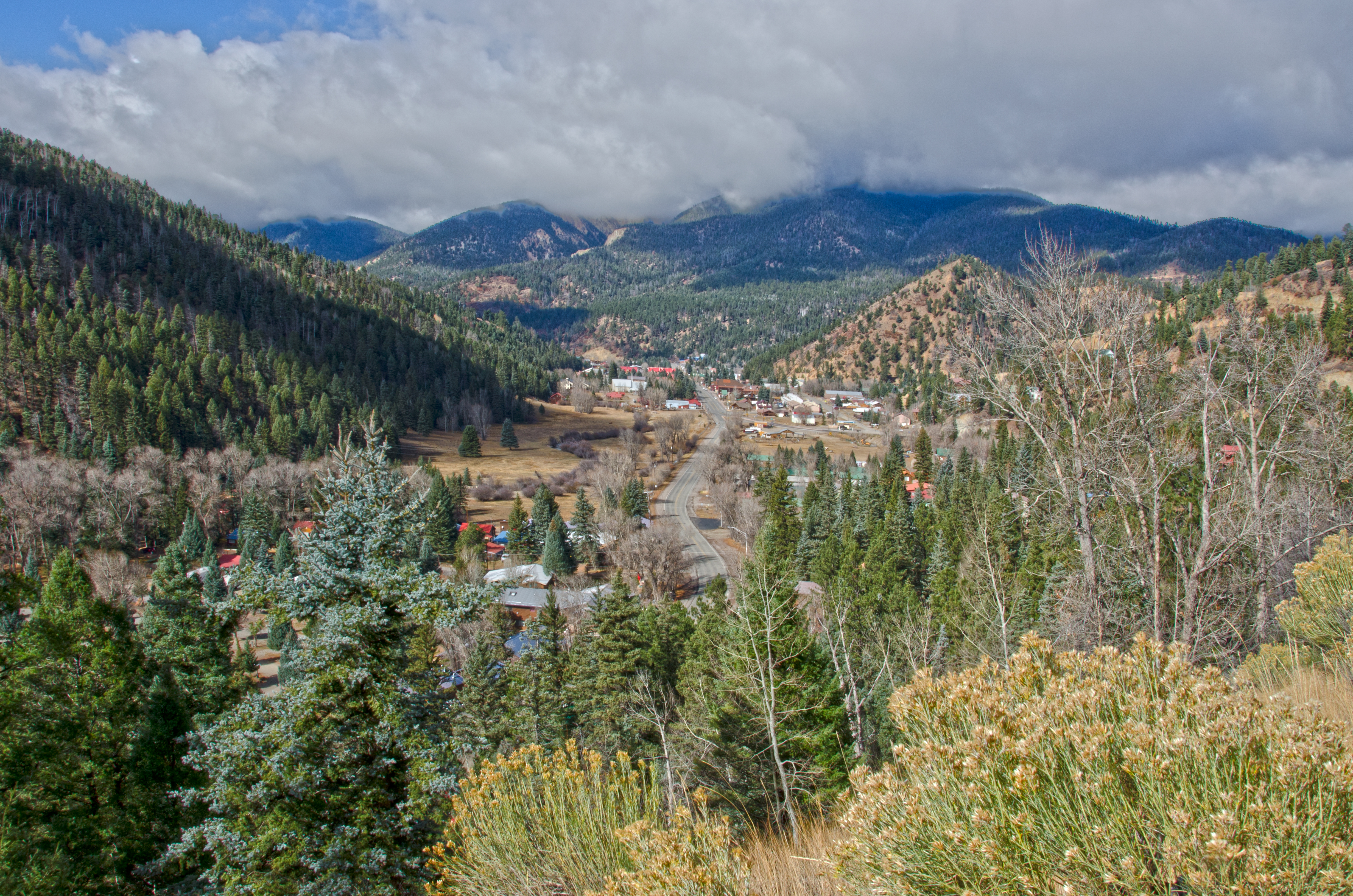
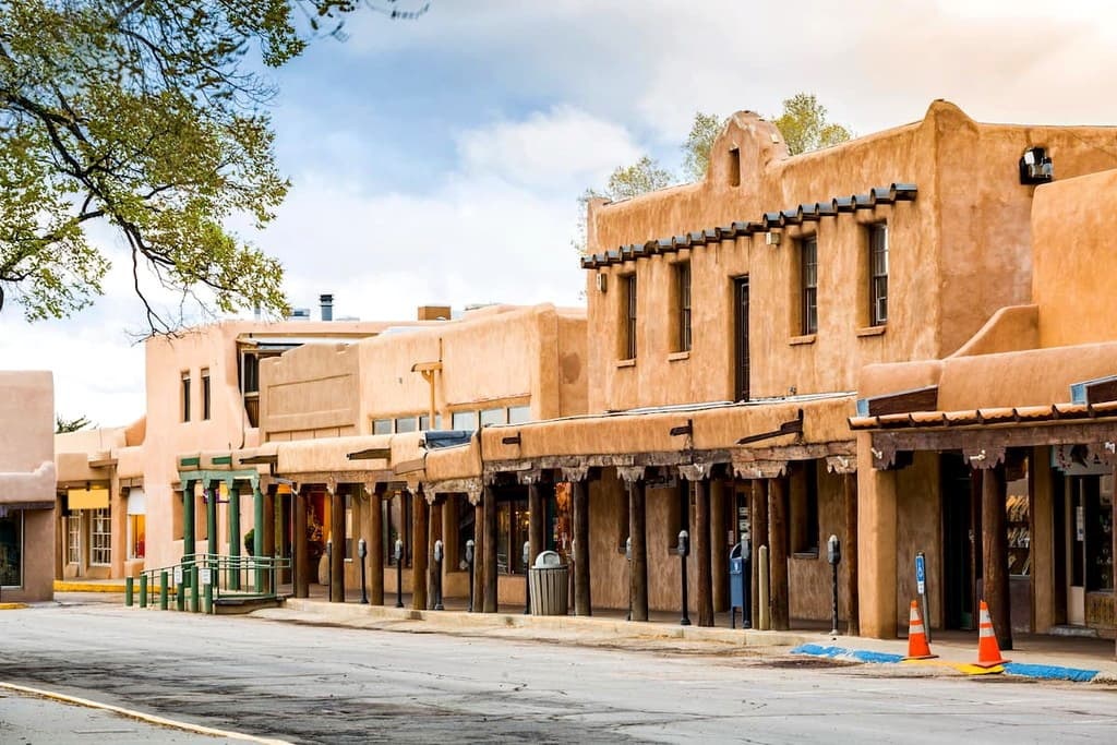
Taos is a small town that lies to the west of the ranch in the western foothills of the Sangre de Cristo Mountains. Home to around 6,000 people, Taos is a popular mountain town located near the Taos Ski Valley. The Taos Pueblo World Heritage Site is just a short drive away from the town and is one of the oldest continuously inhabited communities in the present-day US.
The town is known for being a rich cultural heritage site and is home to numerous historical buildings. The iconic St. Francisco de Asis church lies near the town center. Taos is also home to year-round outdoor recreation due to its close proximity to the surrounding mountains.
Explore Philmont Scout Ranch with the PeakVisor 3D Map and identify its summits.

