
Scan the QR code and open PeakVisor on your phone
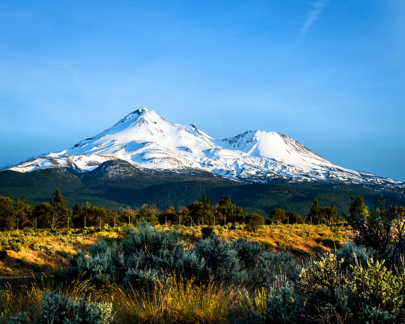
Known for its rugged terrain and unique weather patterns, the Mount Shasta Wilderness is a 59.8 square mile (155 sq. km) parcel of federally-protected land in the northern part of the US state of California.
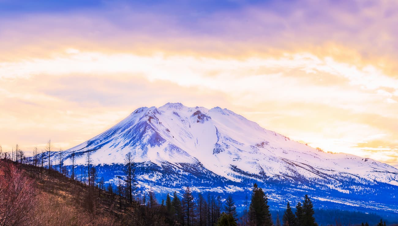
The wilderness is home to six named peaks, the highest and most prominent of which is Mount Shasta (14,180ft/4,322m). Mount Shasta is also known by its Karuk name, Úytaahkoo, which means “White Mountain.”
The Mount Shasta Wilderness is located in the northernmost part of California near the state’s border with Oregon. It is wholly contained within Siskiyou County and is managed as part of the Shasta-Trinity National Forest.
Located in a remote and highly mountainous section of California, the wilderness is bordered to the west by the Klamath National Forest. To the east, the Mount Shasta Wilderness is bordered by Modoc National Forest. Meanwhile, Lava Beds National Monument and Tule Lake National Wildlife Refuge form the wilderness’ southern border.
The larger Shasta-Trinity National Forest, which contains the Mount Shasta Wilderness, is also just north of Lassen National Forest and Lassen Volcanic National Park. Together, Mount Shasta and Lassen Peak are the southernmost potentially active volcanoes in the entire Cascade Range.
The mountains within the Mount Shasta Wilderness are part of the greater Cascade Range. The range also includes the mountains of the Cascade Volcanic Arc.
This arc is a series of active and potentially active volcanoes that extends from Lassen Peak in California, through Oregon and Washington, into Canada’s British Columbia. While the Cascade Range technically stops south of the Fraser River in British Columbia, the Cascade Volcanic Arc continues a bit further north in the Canadian Coast Mountains to Mount Garibaldi and Mount Meager.
Geologically, volcanic activity in the region began some 37 million years ago, but the mountains within the Cascade Range are generally less than 2 million years old. This volcanism is the result of the subduction of the Pacific Plate under the western edge of the North American plate.
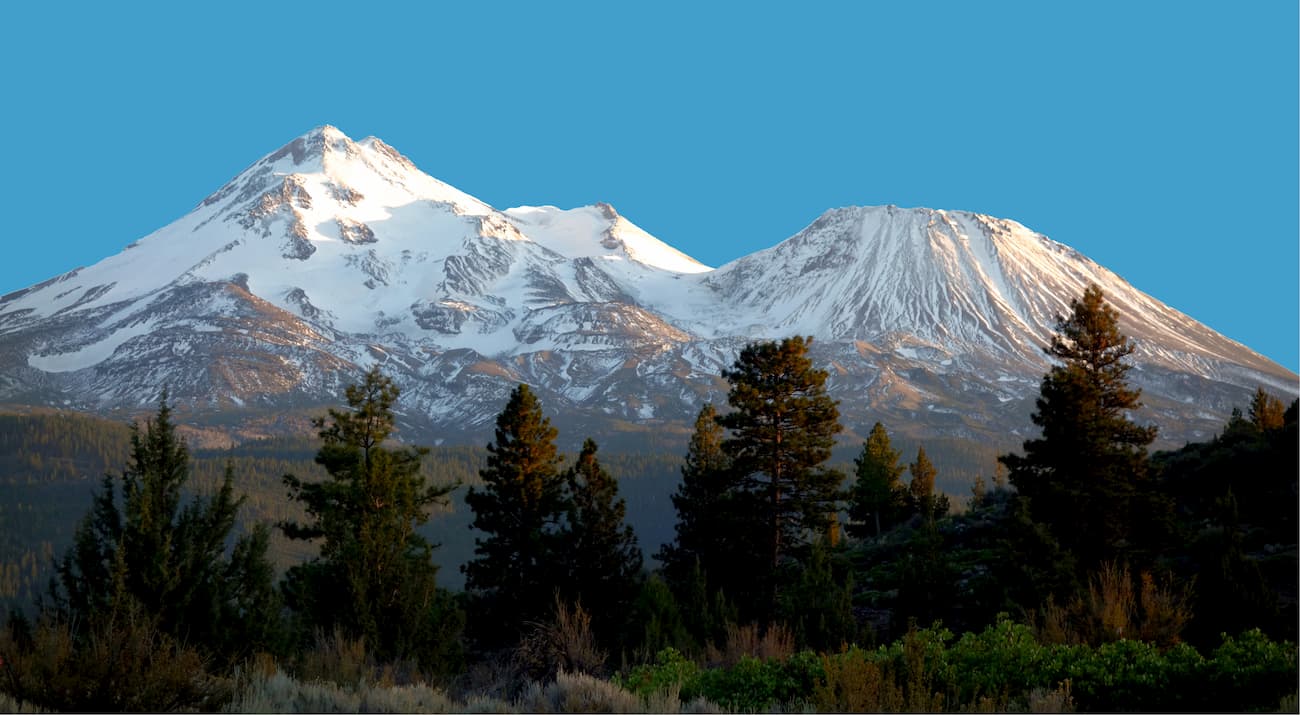
Mount Shasta, the wilderness area’s namesake peak, started to take shape about 593,000 years ago when andesitic lavas erupted near McBride Spring. These lavas eventually formed the massive Mount Shasta stratovolcano, so the peak itself is very young in geologic terms.
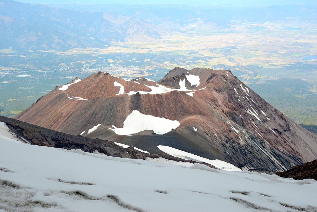
However, sometime between 300,000 and 360,000 years ago, the north side of the volcano collapsed. This resulted in a huge landslide, covering some 6.5 cubic miles (27 cubic km) in volume.
These days, Mount Shasta has four cinder cones, the oldest of which is on Sargents Ridge. The youngest of these cones, the Holtum Cone, was created around 8,000 years ago. Evidence of this cone’s volcanism is still visible today, in the form of the 500 foot thick (150m) Military Pass flow that reaches some 5.5 miles (8.9mk) down the northeast face of Shasta. The Holtum Cone was also responsible for Mount Shasta’s last major eruption, about 200 years ago, which created a 7.5 mile (12.2km) pyroclastic flow on Shasta’s east face.
Mount Shasta is still considered to be volcanically active, though it has been quite quiet during the last few decades. Scientists have found that the mountain does periodically release gases from an opening near its summit, which demonstrates that Shasta is still active.
Some scientists believe that the worst possible case scenario for a future Mount Shasta eruption would be one that is similar to the 1980 Mount St. Helens eruption. Since Mount Shasta is home to seven glaciers (Whitney, Hotlum, Watkins, Mud Creek, Konwakiton, Wintun, and Bolam), the major concern of any future eruption is the formation of lahars.
Lahars are incredibly destructive, violent flows of debris that result when glaciers are melted by lava during a volcanic eruption. These lahars can flow up to 120mph (200kph) and can be hundreds of feet deep.
Some geologists believe that the mountain could also collapse during an eruption, like what happened when Mount Mazama erupted and formed Crater Lake. However, this is much less likely and, overall, the US Geological Survey states that Shasta’s earthquake and volcanic activity has been fairly low in recent years.
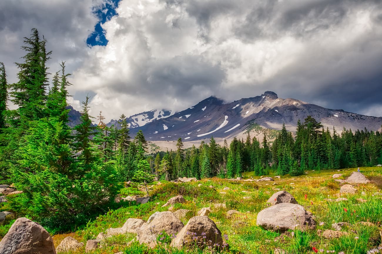
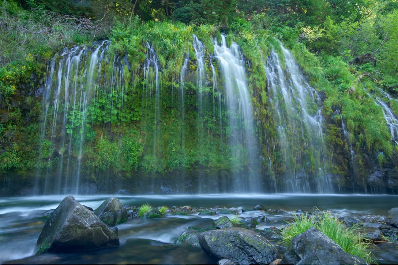
Outside of the glaciated areas of Mount Shasta, the Mount Shasta Wilderness is home to a good diversity of plant life. Below treeline, the wilderness includes large stands of red fir, white fir, sugar pine, Douglas fir, and western white pine.
Interestingly, mountain mahogany and juniper grow on the lava flows along the mountain’s northeast edge. The undergrowth in these forests is mostly dominated by tanoak, chinquapin, pinemat manzanita, snowbrush, and greenleaf manzanita. Meanwhile, above 8,000 feet (2,400m), the landscape is covered mostly in krummholz whitebark pine.
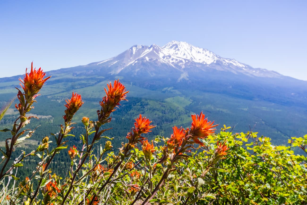
The wilderness is also home to some rare plans, including Siskiyou Indian paintbrush, Mount Shasta arnica, and Shasta owl’s clover. Additionally, there is plenty of wildlife in the region, including black bear, deer, golden eagles, coyotes, and red-tailed hawks.
The region that is now the Mount Shasta Wilderness has a rich history of human inhabitation that dates back at least 7,000 years. Countless groups, including the Modoc, Achomawi, Karuk, Klamath, Wintu, Okwanuchu, Shasta, and Yana called the region home before the arrival of European-Americans in the early 1800s.
During the California Gold Rush, there was a sizable influx of immigrants to the Mount Shasta region. In 1854, Elias Pearce made the first recorded ascent of Mount Shasta, and soon after, the mountain became a point of interest for the scientific community.
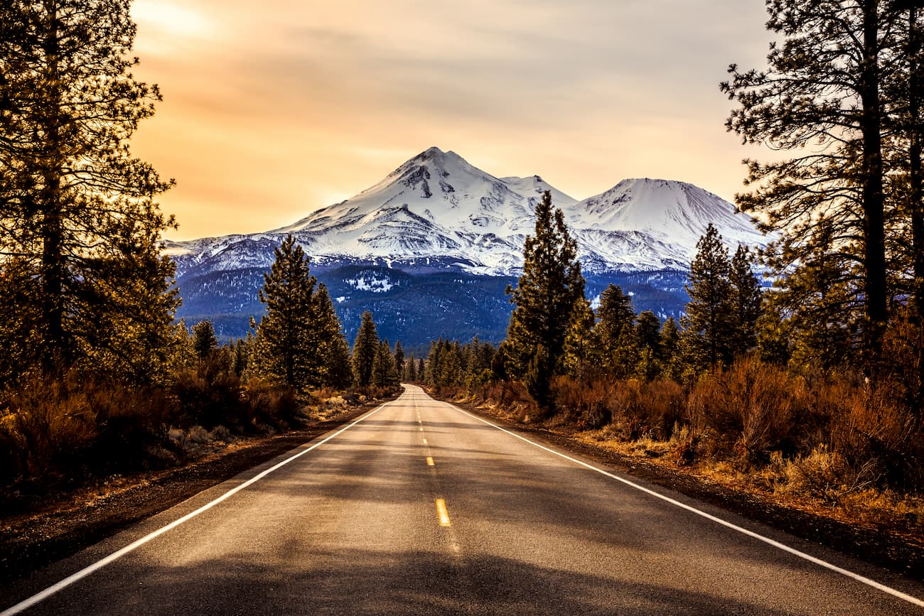
With the completion of the Central Pacific Railroad in 1887, more and more tourists began to flock to the region. This interest in tourism only increased in the early 1900s when the Pacific Highway, and later I-5, brought roads to the base of Mount Shasta.
The Shasta-Trinity National Forest was formally designated as federally-managed land in 1954 while Mount Shasta was officially declared a National National Landmark in 1976. In 1984, with the California Wilderness Act, Congress created the Mount Shasta Wilderness, which protects and preserves many areas that were heavily logged and developed in previous years.
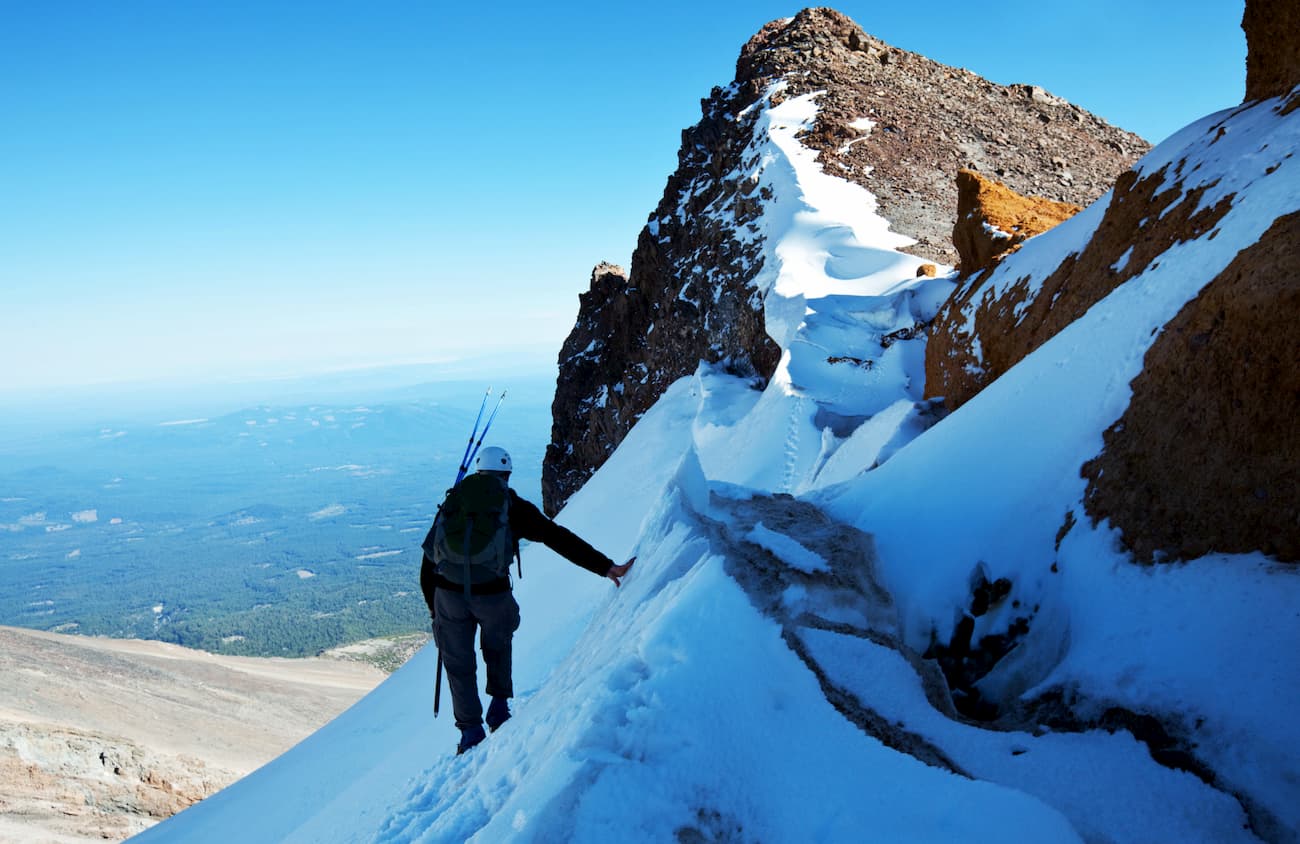
Despite being a fairly small wilderness area, the Mount Shasta Wilderness sees thousands of visitors each year, particularly in June and July, when climbing conditions are at their best. The wilderness is serviced by 10 different trailheads that provide people access to Mount Shasta and the surrounding peaks.
Climbing Mount Shasta is particularly popular as the standard route up the mountain is fairly straightforward. The peak is also a commonly used area for backcountry skiing because it has an abundance of both steep and low-angled slopes, which are suitable for riders of various abilities.
Additionally, the Sierra Club owns a private 720 acre (2.9 sq. km) parcel of land within the Mount Shasta Wilderness that’s known as “Horse Camp”. The camp is home to the Shasta Alpine Lodge, a hut and shelter built for climbers in 1923.
This camp and shelter are located near Avalanche Gulch, the most popular route up Shasta. Interestingly, Horse Camp was also John Muir’s starting point when he made his 1874 ascent up the mountain.
These days, the Lodge has a caretaker during the summer months, who maintains the small library and artifacts inside. Climbers can camp outside the Lodge for a small fee, but there is no water or composting toilet available during the winter months.
Mount Shasta is the centerpiece of the Mount Shasta Wilderness. The majority of visitors to the wilderness attempt to climb Shasta, though there are some backpacking options nearby. Here are some of the popular climbing routes in the Wilderness:
Avalanche Gulch is one of the easiest routes up Mount Shasta and is the most popular. From the Bunny Flat Trailhead to the summit, the route covers just 11 miles (17.7km) and gains about 7,300 feet (2,225m) of elevation.
The route takes you to Horse Camp and then upward toward Helen Lake. From here, it is a fairly straightforward climb to the summit, which is possible to complete in a single day.
Along with Avalanche Gulch, Clear Creek is one of the easier routes to Shasta’s summit. But, Clear Creek, which ascends the mountains’ southeast face, gets much less attention than the substantially more-popular Avalanche Gulch route.
This route leaves from the Clear Creek Trailhead and follows a gentle slope toward the summit. The one downside to Clear Creek is that the trailhead is not accessible in the winter, which is one of the reasons why people opt to ascend Shasta from Bunny Flat, instead.
Here are some of the best places to stay before and after your adventure into the Mount Shasta Wilderness:
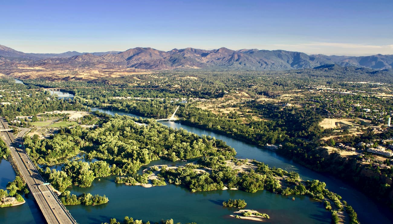
Redding, California is located just south of the Mount Shasta Wilderness and is the largest city in the Shasta Cascade region. The city is home to over 90,000 people and is situated along I-5. Redding is well serviced by Amtrak trains, which run to locations as far as Seattle and Los Angeles.
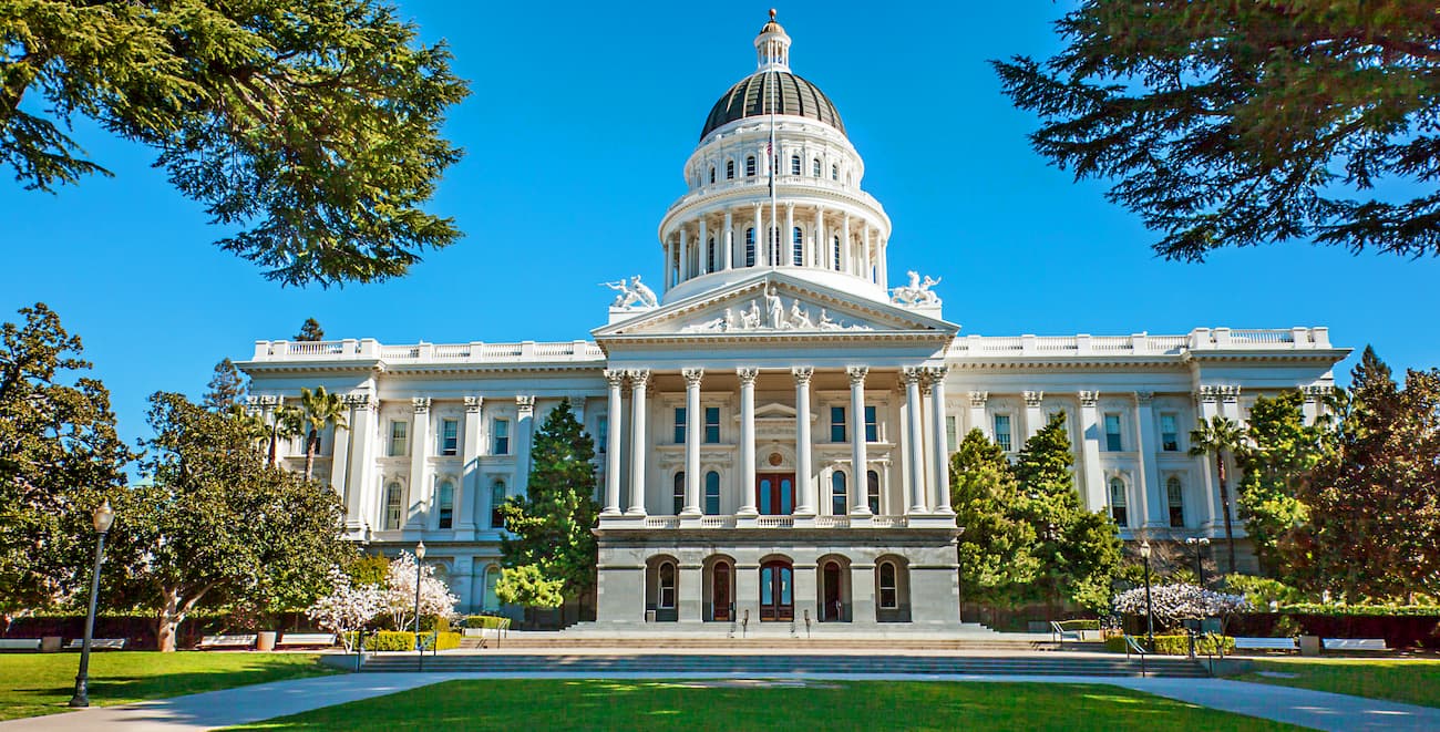
Sacramento is the capital of the state of California and is its sixth-largest city with a population of over 510,000 people. Sacramento is located south of the Mount Shasta Wilderness and of nearby Redding. The city is a transportation hub for the region as it has great air, train, and road connections to locations around the country.
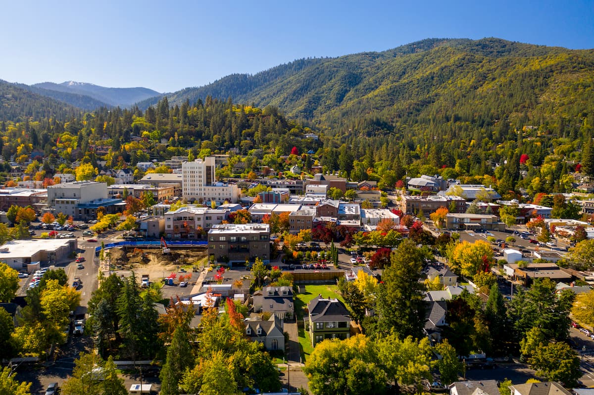
The city of Ashland is located just north of the California border in the state of Oregon. Ashland has a population of about 20,000 people and is a popular destination for outdoor recreation. The city is located just 12 miles (19km) from Medford International Airport and is about 4.5 hours by road from Portland, which also has a major international airport.


14er
ultra
glacier
volcano
cascade-range-9000ers
california-13ers
porcella-burns
western-state-climbers
western-state-climbers-star
chemeketan-18-nw
cascade-volcanoes-pin
mazamas-16-nw-award
fred-beckey-great-peaks
california-ultras
volcano
cascade-range-9000ers
western-state-climbers
western-state-climbers-emblem


