Scan the QR code and open PeakVisor on your phone
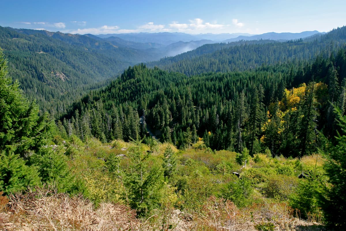
The Klamath National Forest is located in northeastern California and spans 1,7837,774 acres. The forest is located in the Klamath Mountains and Cascade Range with 1.5% of the forest stretching into southern Oregon. There are 140 named mountains in Klamath National Forest. The Whaleback is the highest point. The most prominent mountain is Goosenest standing at 8,533 feet.
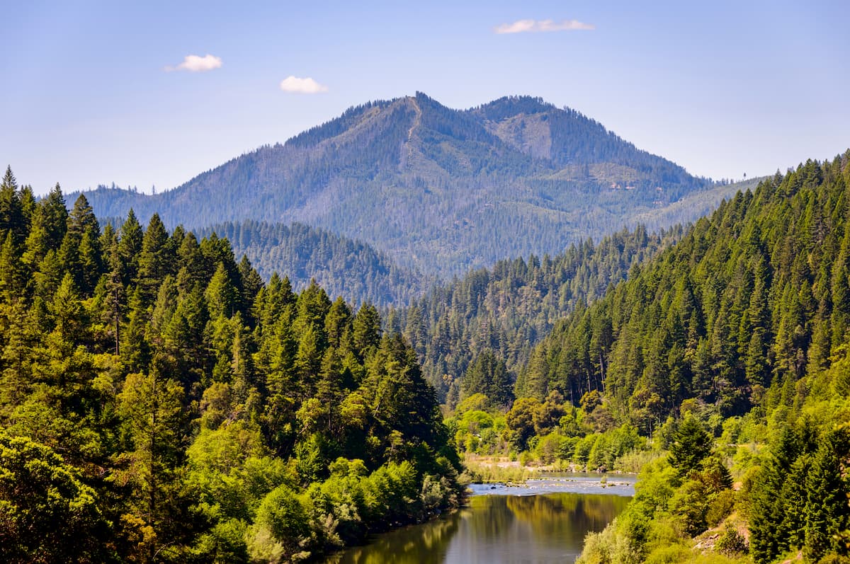
There are over 200 miles of river systems throughout the forest with 152 miles of wild and scenic rivers. It is estimated that there are 168,000 acres of old growth forest in the region. The forest was established back in 1905 and has expanded since multiple times. The Klamath National Forest is also known for its wild and scenic wilderness areas. These include Marble Mountain, Russian Wilderness Area, Trinity Alps, Red Buttes, and Siskiyou. The Marble Mountain, Russian, and Siskiyou areas are located fully within the Klamath National Forest. The Red Buttes Wilderness and the Trinity Alps Wilderness have sections that are located in the National Forest.
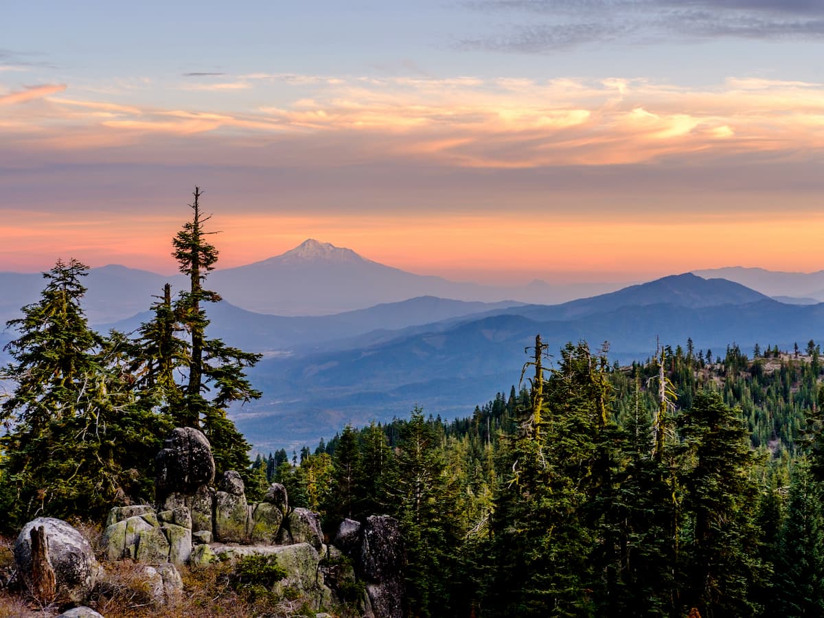
The Pacific Crest Trail spans the entire length of the western United States, from Mexico to Canada. Sixty miles of the PCT passes through the Klamath National Forest, known as Section R of California. This point to point hike totals 12,864 feet of elevation gain. The trail starts in the heart of the Klamath Forest and travels northwest towards the town of Ashland, Oregon. This multi-day backpacking trip is a great way to see some of the most remote and beautiful sections of the forest.
This out and back hike totals 11.7 miles with 2,286 feet to elevation gain. The trail climbs steadily, passing through sections of forest coupled with open meadows. Turn around at the lake or set up camp for the night at one of the many campsites.
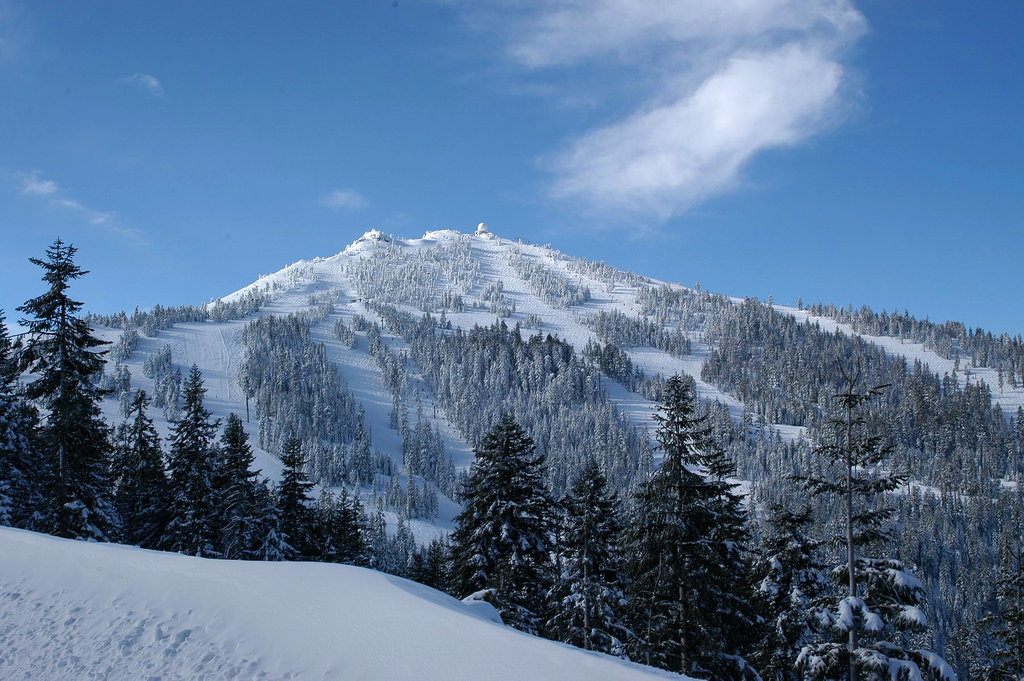
Located in the southern region of Oregon, Mount Ashland sits just outside the city of Ashland. The trail to the top is a 6.8-mile loop with 1,433 feet of elevation gain. This route starts on the PCT before turning up a creek to reach the summit. During the winter months, Mount Ashland is used for skiing. As one of the tallest points in the surrounding region, the summit offers expansive views of the forest below.
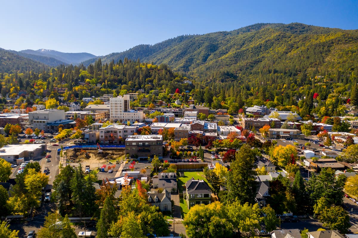
Ashland, Oregon is a city located in Southern Oregon with a population of around 21,000. The small city is known for being home to the Oregon Shakespeare Festival. The town is known for being very liberal, a sharp contrast to much of southern Oregon. Many of the city’s historical buildings have been preserved which give the downtown a quaint setting. Ashland is the perfect place to stay after a long hike in the mountains and is ideal for grabbing a bite to eat or check out a local gallery. The nearby city of Medford also has ample housing with close proximity to the surrounding mountain trails.
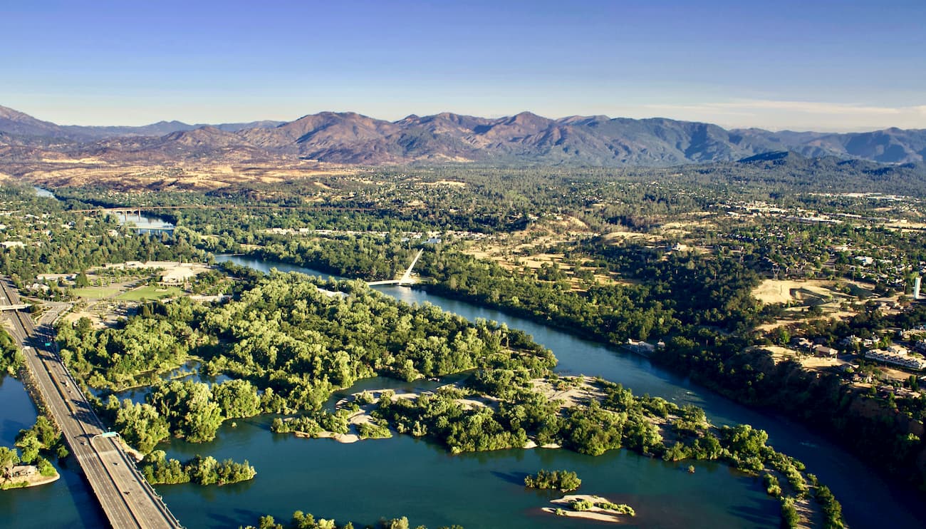
Just two hours south of the Klamath National Forest sits Redding, California. The city sits along the Sacramento River and is just 15 miles south of Shasta Lake. The city’s population is just over 90,000 and is at the very northwestern end of the Central Valley. Redding is surrounded by mountains to the north, east and west. The Market Center located downtown is the perfect place to explore the city and grab a bite to eat after a long day of hiking.