Get PeakVisor App
Sign In
Search by GPS coordinates
- Latitude
- ° ' ''
- Longitude
- ° ' ''
- Units of Length

Yes
Cancel
❤ Wishlist ×
Choose
Delete
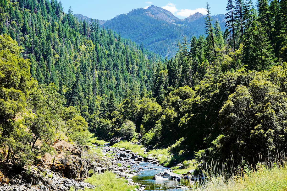
Located in the Klamath National Forest, the Marble Mountain Wilderness encompasses 241,744 acres of craggy peaks, deep canyons, and conifer forest. Initially designated as the Marble Mountain Primitive Area in 1931, Marble Mountain Wilderness received federal designation in 1964, making it one of the first Wilderness Areas designated by the Wilderness Act.

Marble Mountain Wilderness earned its name from unique limestone coloration and black metamorphic rock found on several of the nearby summits, including the park’s namesake summit, Marble Mountain. In fact, it’s not uncommon to hear locals refer to the peaks in the area as the Marble Mountains, when it’s actually the Salmon Mountains, a subrange of the Klamath Mountains, that sit at the core of the wilderness. There are just 22 named peaks in Marble Mountain. However, several of these summits reach over 6,000-feet, including Boulder Peak, Black Marble Mountain, Kings Castle, and English Peak.
Marble Mountain Wilderness contains several stands of diverse conifer species, including Douglas fir, sugar pine, white fir, Shasta fir, whitebark pine, and mountain hemlock. Alpine meadows blanket higher elevations, while subalpine fir grows along the granite moraines in the Sky High Lakes Basin and the Deep Lake area.
One of the lesser-known features of the Marble Mountain area is the extensive cave system. There are a number of concealed caves scattered throughout the wilderness, including one of the deepest caves in the continental U.S. Most of these caves are not regulated or easily accessible and the Forest Service asks that only experienced cavers attempt to explore these hidden gems.

Fortunately, caves aren’t the only attraction in the area. The Marble Mountain Wilderness encompasses roughly 600 miles of trails, including portions of the notorious Pacific Crest Trail. Despite the rugged and remote nature of the wilderness, many of the area’s most popular trails are well-maintained and marked.
Arguably the most popular trail in the Wilderness, the 7-mile Canyon Creek trail is a moderate footpath that provides access to some of the most scenic features of the Marble Mountain area, including Marble Gap, Marble Mountain Rim, Marble Valley, and the Sky High Lakes region. The Canyon Creek trail begins at Lovers Camp and runs parallel to Canyon Creek before entering Marble Valley and connecting with several other iconic trails.

Much like the Canyon Creek trail, the Shackleford Creek trail accesses some of the most scenic areas the wilderness has to offer, including Campbell, Cliff, and Summit Lakes. This trail is particularly popular with riders.
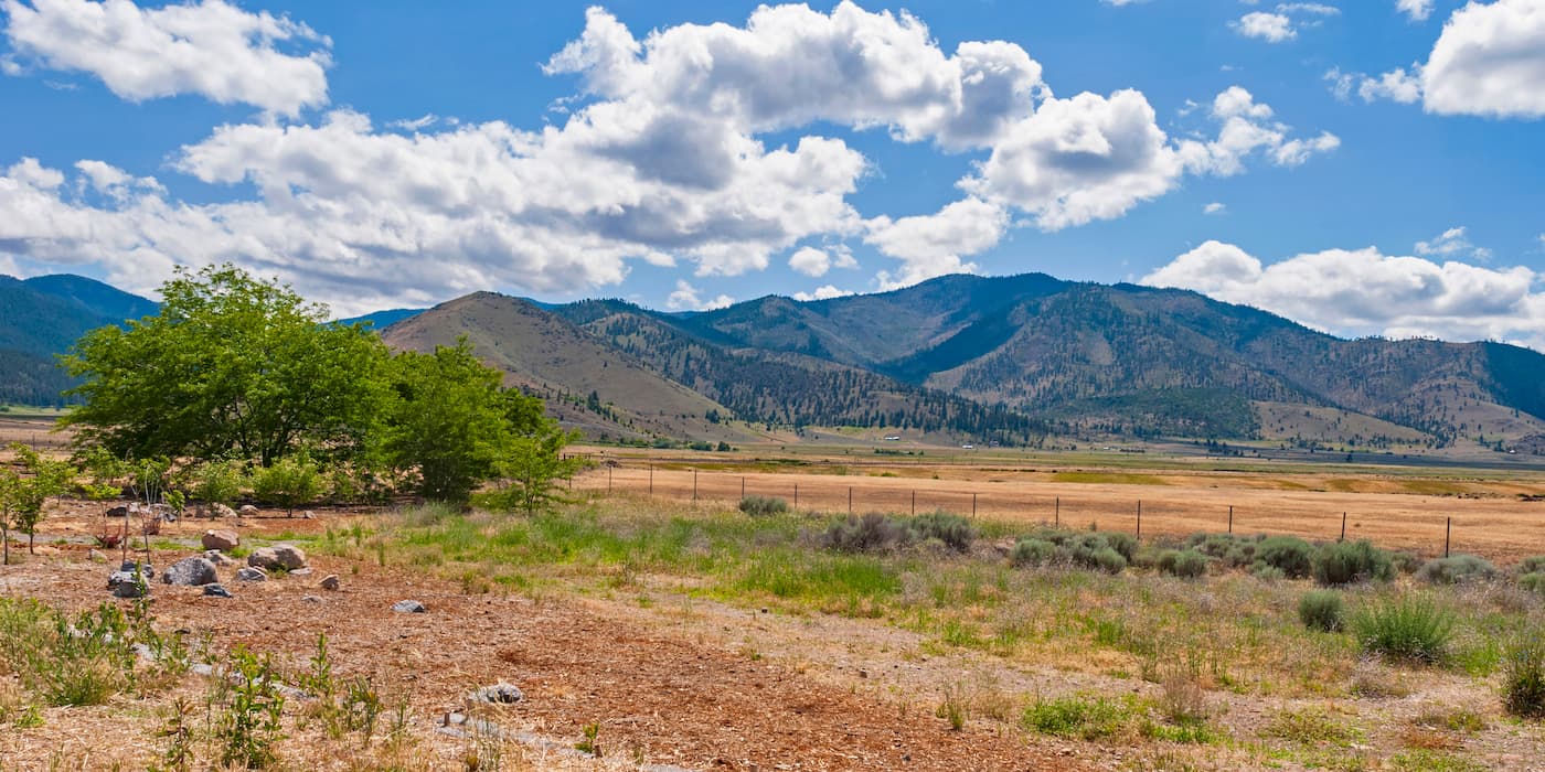
Yreka is located in Siskiyou County near the Shasta River. Home to a rich and diverse history, Yreka was founded during the gold rush era when prospectors found gold nuggets in the roots of plants. The city, which was formed in 1857, has become a popular stop for visitors venturing into Shasta-Trinity National Forest and Klamath National Forest.

Explore Marble Mountain Wilderness with the PeakVisor 3D Map and identify its summits.


