Scan the QR code and open PeakVisor on your phone
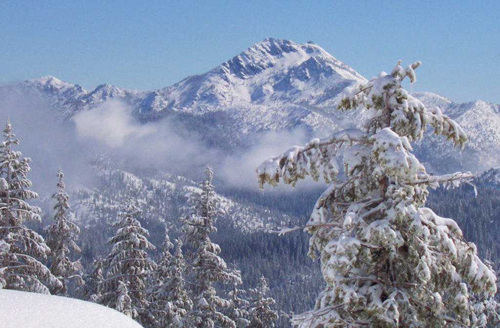
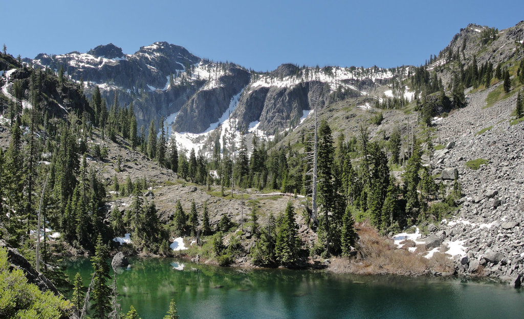
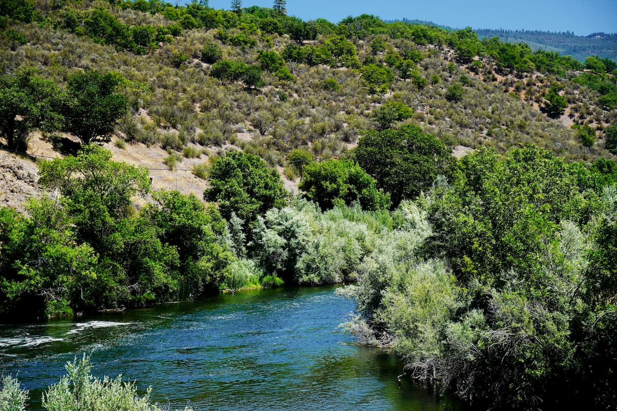
The Siskiyou Wilderness is a wilderness area located in northern California and spans 182,802 acres. This wilderness stretches into three separate national forests; the Rogue-Siskiyou, the Klamath, and the Six Rivers. Within the wilderness lies the Siskiyou Mountains which form one the longest continuous crests within the Klamath Mountains. There are 30 named mountains in Siskiyou Wilderness. The highest and the most prominent mountain is Preston Peak. Elevation within the wilderness ranges from 770 feet up to 7,309 feet at the top of Preston Peak. As a whole the Siskiyou Wilderness is characterized by forested ridges and craggy peaks, along with mountain meadows and shallow mountain lakes.
The wilderness was originally 153,000 acres when it was established but an additional 30,122 acres thanks to the Northern California Wild Heritage Act of 2006. The forest is full of Alaska cedar, Port Orford cedar, and the Klamath Mountains endemic Brewer spruce. In terms of wildlife, the wilderness is home to rare species like wolverine, martin, northern spotted owl, and Roosevelt elk. The land is managed by the U.S. Forest Service.
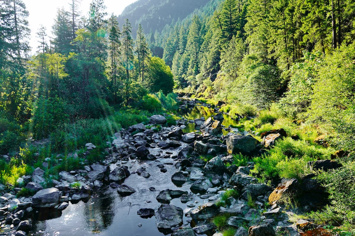
This trail crosses 20.5 miles of the northern section of the wilderness. The route has approximately 5,000 feet of elevation gain. Starting in Youngs Valley Trailhead traveling to No Man's Trailhead. Much of the trail is dirt and gravel single track and follows the creek towards the mouth of the Klamath River. Throughout the route there are plentiful spots to swim in the water or set up camp for the night. The route can be hiked over a few days or used for trail running in a day.
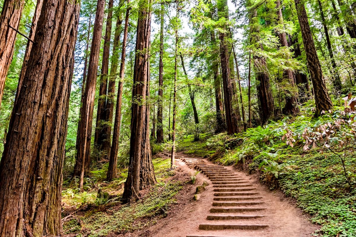
The Bigfoot Trail totals 360 miles though most hikers complete just a section of the route. The trail traverses the crest of the wilderness traveling north to south. The Bigfoot Trail passes through some of the most remote regions in the entire wilderness. The trail begins in the Yolla Bolly-Middle Eel Wilderness and ends in Redwood National Park located in Crescent City, California. The section of the trail that passes through the Siskiyou Wilderness is among the wettest of the entire route as it passes through the coastal northern California Redwoods.
This trail totals 20 miles point to point, starting at Bear Lake and traveling to Smith River. This route is located in the southern part of the wilderness and climbs through the forest until it reaches the Smith River.
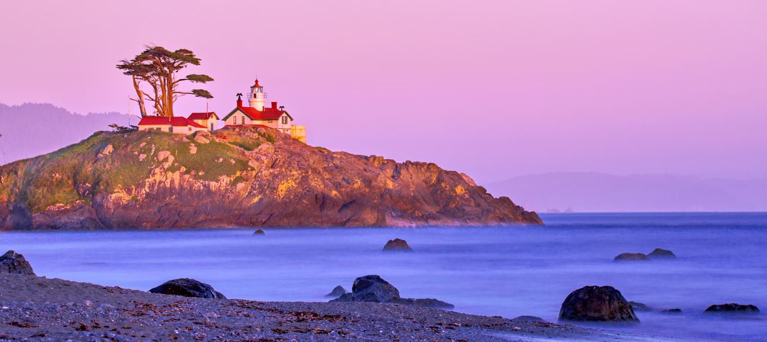
Crescent city is located on the very northwestern coast of California with a population of approximately 10,000. The city is also the location for the Redwood National Park headquarters. Crescent City sits just 20 mile south of the Oregon-California border. The city was named after the crescent shaped beach and it is known for being an abundant fishing location. Despite being in California, Crescent City is quite rainy and averages 71.24 inches per year. The isolation of the city makes it one of the most popular stops due to its proximity to numerous state parks, recreation areas, and the Lost Monarch, the largest known Coastal Redwood by volume.
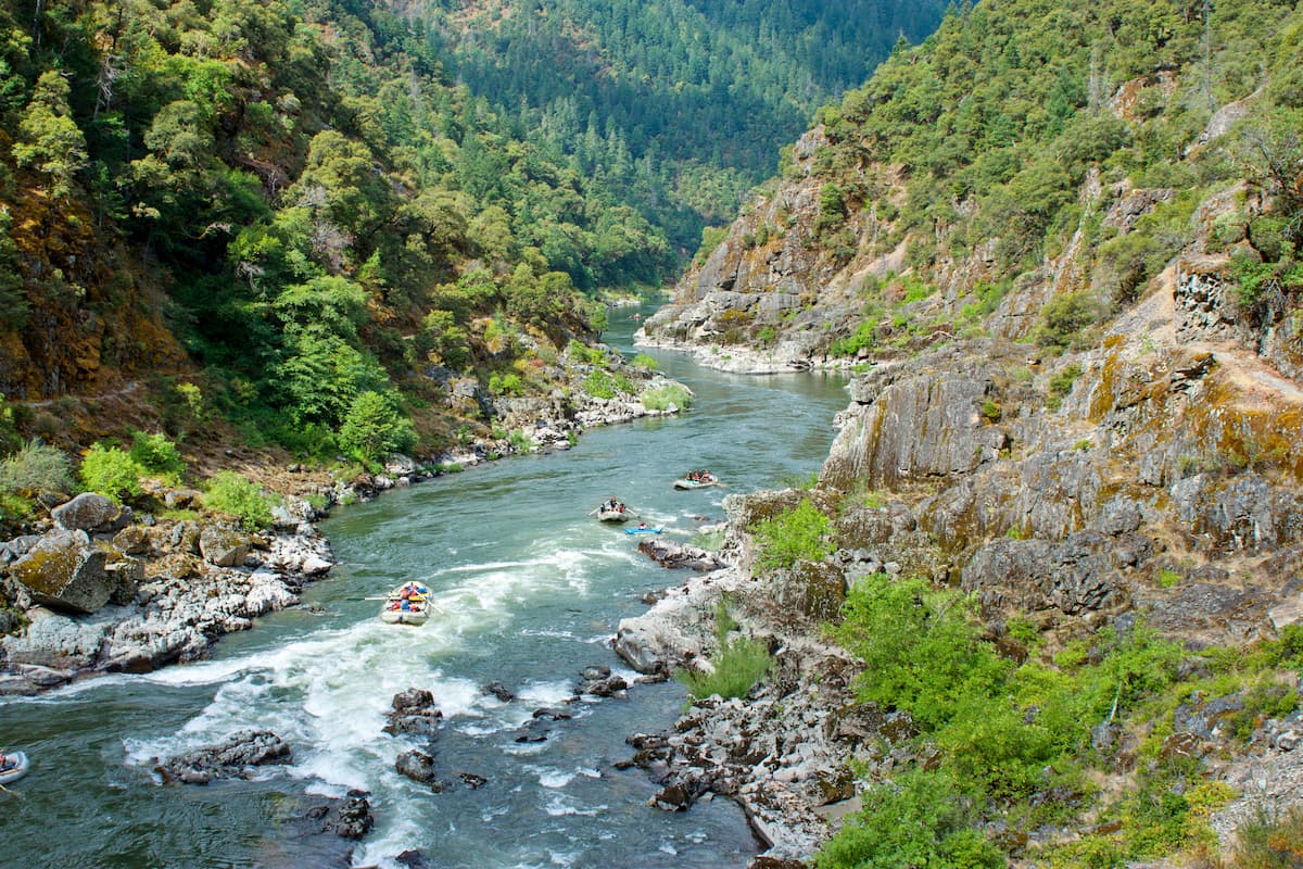
Grants Pass sits 2 hours northeast of the Siskiyou Wilderness. With a population of just over 35,000, the city sits northwest of Medford and Ashland on Interstate 5. The Rogue River runs through the city and is a popular destination for river rafting. The city is known in the United States for being the birthplace of Dutch Bros, a popular coffee chain. Grants Pass is the closest major city in Oregon and the downtown area is full of shops and restaurants to explore after a day of hiking.