Get PeakVisor App
Sign In
Search by GPS coordinates
- Latitude
- ° ' ''
- Longitude
- ° ' ''
- Units of Length

Yes
Cancel
❤ Wishlist ×
Choose
Delete
Castle Rock State Park protects 5,242 acres (2,121 ha) of sculpted sandstone, lush forest, and stream-fed canyons in the US state of California. There are 11 named mountains in Castle Rock State Park, the highest and most prominent of which is Mount Bielawski (3,235 ft/986 m).
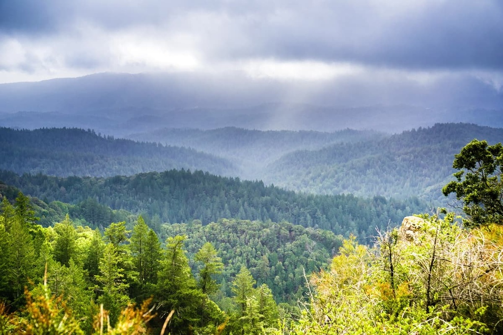
Castle Rock State Park is a protected area situated in the western part of the US state of California. It is located along the crest of the Santa Cruz Mountains, a subrange of the Pacific Coast Ranges that separates the Pacific Ocean from the San Francisco Bay and Santa Clara Valley.
The park’s varied topography includes moderate to steep mountain slopes, deep canyons, and gently rolling ridge tops. Elevations in the park range from lows of about 880 feet (268 m) along the San Lorenzo River to highs of over 3,200 feet (975 m) at the summit of Castle Rock, a large sandstone outcrop with a near-vertical south face.
The park lies almost entirely within Santa Cruz County, but it also extends into nearby Santa Clara County and San Mateo County. It protects 3,860 acres (1,562 ha) of terrain at the headwaters of the San Lorenzo River and is interconnected with a much broader regional system of parks and open space preserves, including:
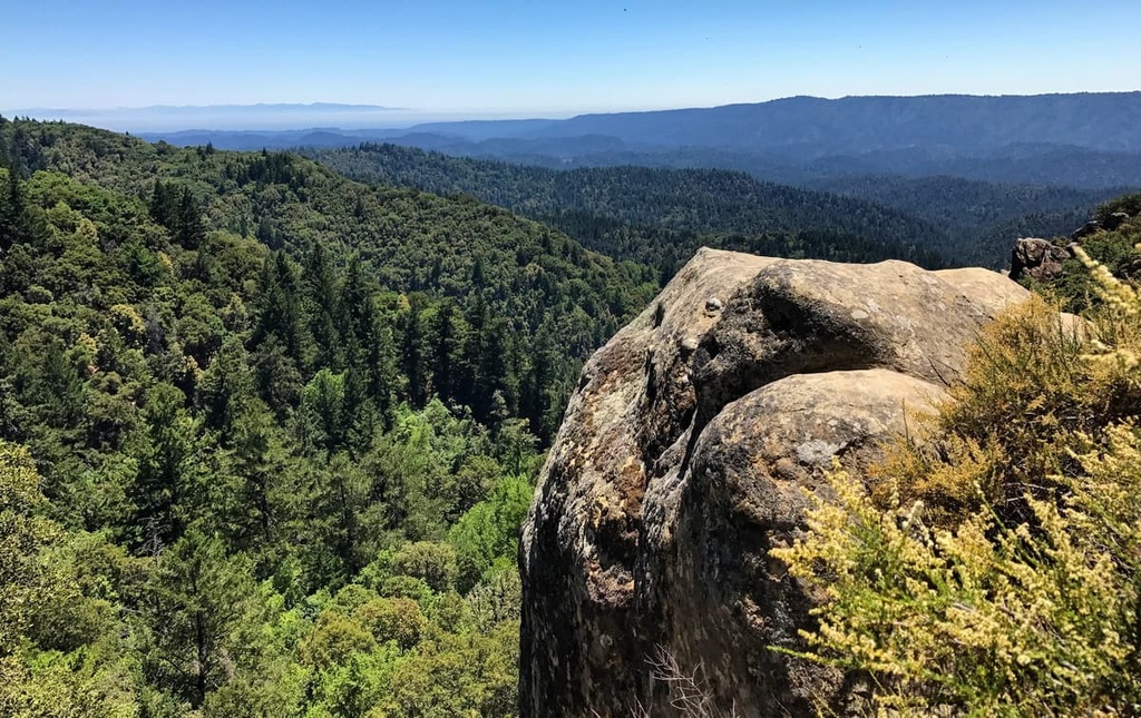
Several other state parks are also located near Castle Rock. For example, Big Basin Redwoods State Park lies less than 10 miles (16 km) to the southwest of Castle Rock, just to the north of the West Waddell Creek State Wilderness. Portola Redwoods State Park is also situated about 12 miles (19 km) to the northwest of Castle Rock next to Pescadero Creek Park.
Two principal transportation corridors, State Route 35 and State Route 9, link Castle Rock State Park to nearby major metropolitan areas, including the San Lorenzo Valley and San Jose urban areas.
The primary rock formations in Castle Rock State Park are composed of sandstone that migrated to the area as a result of the formation of the San Andreas Fault.
The famed sandstone outcrops in Castle Rock State Park originated as submarine fan deposits on the continental shelf about 30 to 40 million years ago. Repeated violent movements along the tectonic plate boundaries now defined by the San Andreas Fault elevated and moved these shelf deposits to the north.
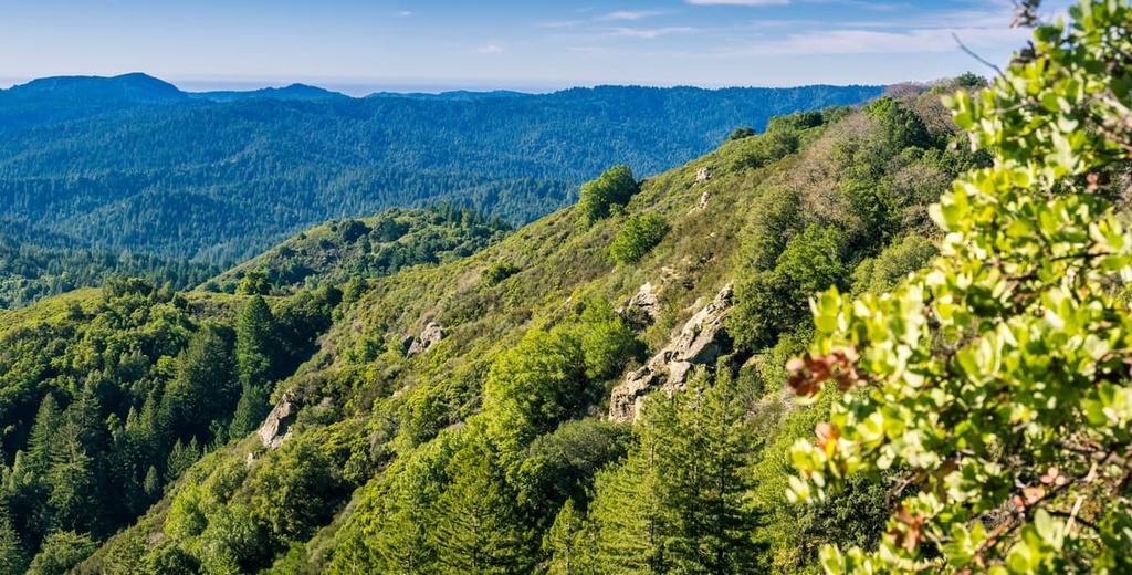
The outcrops along Castle Ridge have since eroded to form the pits, pockets, honeycombs, caves, ribs, and ridges that are generally referred to as tafone. Tafone are unique erosional patterns that include everything from honeycombed surfaces to large concretions and caverns. They often form with consistent exposure to erosive forces such as blowing sand, water, and chemical and physical processes.
Furthermore, the sandstone in Castle Rock State Park is primarily made up of coarse grains of cemented sand. During the rainy season, slightly acidic rainwater seeps into the rock and gradually dissolves minerals that hold the sand grains together. In the summer, water wicks to the surface and evaporates from the rock, leaving minerals behind.
As a result, rock formations often contain a strong crust with a weakened interior. When the surface of the rock in the park breaks, erosion occurs far more rapidly.
Castle Rock State Park lies in the Central Coast Region of the California Floristic Province, which encompasses most of California and a small portion of Nevada, Baja California, and Oregon.
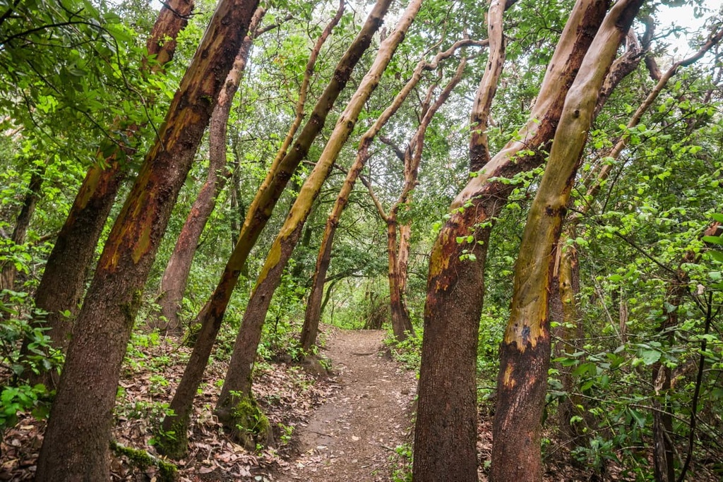
Due to its relatively stable climate, the park protects a huge variety of wildlife habitats and plant communities. Unfortunately, extensive logging and agriculture throughout the years have caused significant vegetation changes in Castle Rock State Park.
Today, the park hosts many native and non-native plant communities, including mixed evergreen forest, chaparral, grasslands, and riparian woodland. Old-growth and second-growth redwoods can also be found at higher elevations in the park.
Unlike California’s giant coastal redwoods, which can reach over 300 feet (91 m) tall, Castle Rock’s redwood population has been dwarfed by a lack of water supply. As a result, these trees generally reach just 40 to 100 feet (12 to 30 m) in height.
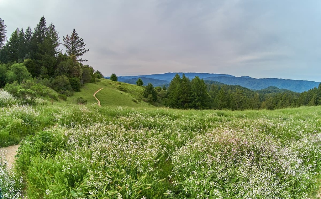
In the spring, the hillsides of Castle Rock State Park are decorated in a colorful display of wildflowers, including pink or purple Chinese houses, lilac slender phlox, blue lupine, pink farewell-to-spring, and golden elegant madia.
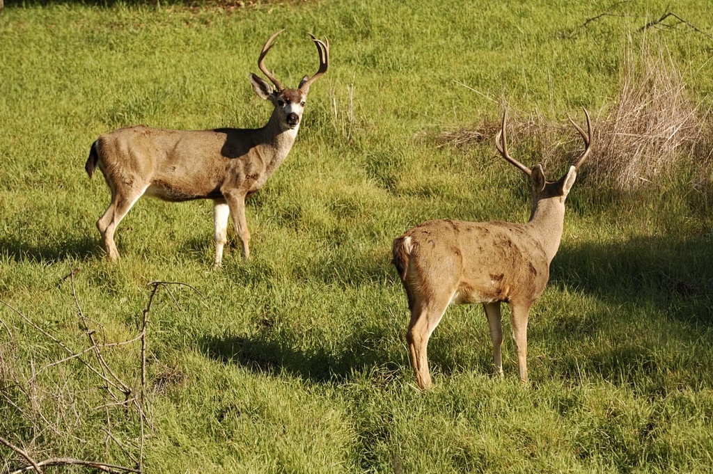
Animals and reptiles known to inhabit the park include black-tailed deer, gray foxes, coyotes, California newts, bobcats, mountain lions, and many species of snakes. The park’s caves, crevices, and ledges also provide nesting and cover habitats for the peregrine falcons, turkey vultures, golden eagles, and American kestrels, among others.
The San Lorenzo River, which flows through the park, serves as a spawning ground for steelhead, and it sustains populations of rainbow trout, Pacific giant salamander, Pacific tree frog, California newt, and western toad.
Humans have lived in and around present-day Castle Rock State Park for thousands of years. Today, the Indigenous people who inhabited the Castle Rock region are collectively recognized as either the Costanoan or Ohlone people.
More than 50 distinct groups of Indigenous people lived, hunted, fished, and gathered along the northern California coast when Spanish colonizers first arrived in the area in the 1700s.
Spanish settlers used the term Costanoan, which translates to “people of the coast,” or “coast dweller,” to collectively describe the Indigenous people that traditionally lived along the northern California coast, from the San Francisco Bay through Monterey Bay to lower Salinas Valley.
Though the origin of the term Ohlone is highly debated, it is often used in lieu of Costanoan as an identifier for all Costanoan-speaking peoples. It’s worth noting that although these terms are frequently used to reference the Indigenous inhabitants of the northern California coast, they are not universally accepted by all Indigenous tribes or people. Each nation has its own culture and language as well as its own ways of self-identifying.
Throughout the late 1700s, Spanish colonizers constructed missions along the California coast in an effort to Christianize Indigenous communities. The Indigenous people who survived deadly disease, slave labor, and violent acts by the Spanish were again subjected to brutality, oppression, and disease at the hands of the US government throughout the 1800s.
By the mid-1800s, thousands of immigrants had arrived in California in search of gold. The demand for building lumber triggered rapid deforestation of the Santa Cruz Mountains. By 1884, more than two dozen lumber mills were in operation in the Big Basin and San Lorenzo Valley area.
Gold mining, timber production, agriculture, and farming brought settlers to the area for more than 100 years before the state park was established. Remnants of historic orchards, toll road communities and trails, lumber camps, and logging structures are scattered throughout the region.
In 1908, logging was still devastating the hillsides of present-day Castle Rock. That same year, Judge Joseph Welch purchased a 60-acre (24 ha) parcel on Castle Rock Ridge. He then set a precedent by opening his land to the public for recreation purposes.
More than 50 years later, Dr. Russell Varian, a Silicon Valley inventor and physicist who loved to hike and climb in the area, envisioned purchasing and donating the land now occupied by Castle Rock State Park to the California Department of Parks and Recreation
Though he died before completing the purchase, the Sierra Club and Sempervirens Fund purchased the land in 1959 and later donated it to the state in his memory. In July of 1968, Castle Rock was designated a state park.
Castle Rock State Park was one of approximately 70 California state parks that were scheduled to be closed by Governor Jerry Brown in 2011 as part of a measure to reduce the state’s annual spending. However, a coalition of non-profits helped to raise the money necessary to protect the park from closure, so it remains a popular hiking area to this day.
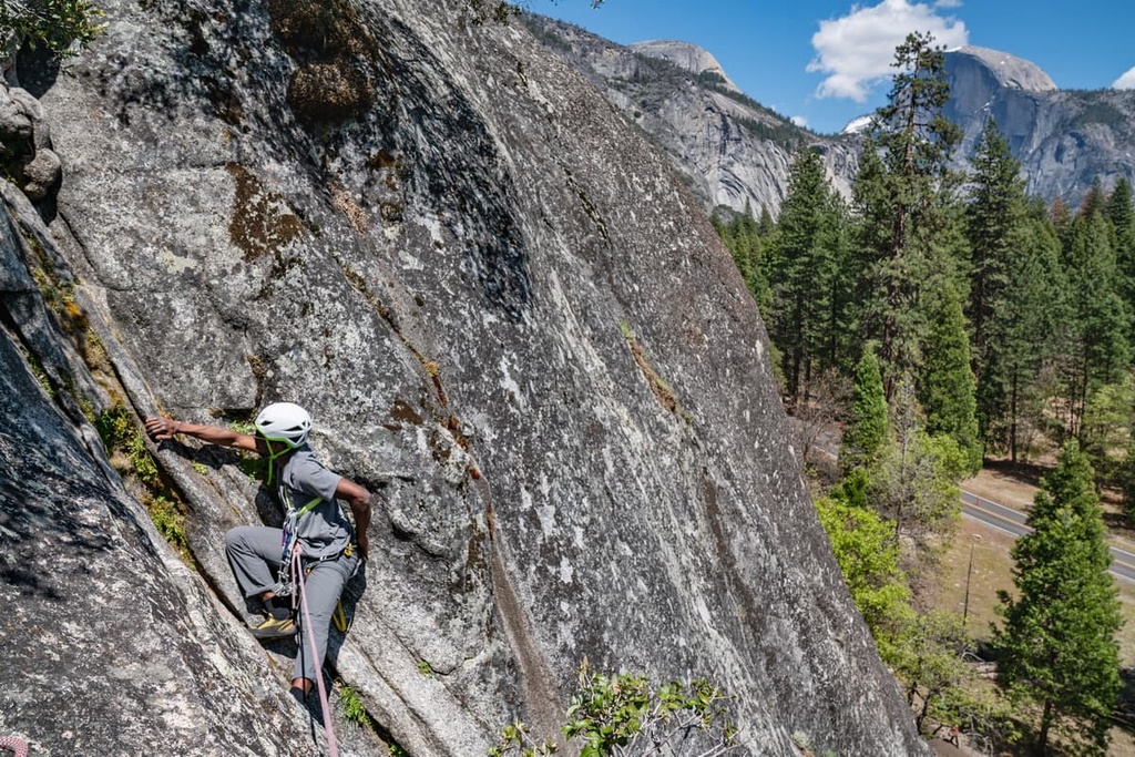
Two major regional trail systems, the Skyline-to-the-Sea Trail and Bay Area Ridge Trail, link Castle Rock State Park to an extensive network of footpaths that travels throughout the Santa Clara and San Lorenzo valleys, Big Basin Redwoods State Park, and the Pacific Coast.
Here are some of the best trails to check out in the region during your next trip to the park.
Arguably the most popular trail in the park, the Castle Rock Falls Trail features some of the region’s most impressive sandstone outcrops, and it boasts incredible vistas of the Santa Cruz Mountains.
This hike begins on the Waterfall Connector Trail, which departs from the Robert C. Kirkwood parking lot. From there, hikers quickly descend into a landscape of madrone, tanoak, and Douglas fir. After a short walk, hikers can opt to take the 1.75-mile (2.8-km) Saratoga Gap Trail to Castle Rock or they can head directly to Castle Rock Falls.
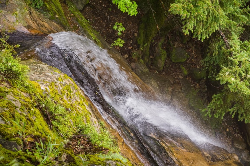
From the Castle Rock Falls observation deck, hikers are rewarded with a top-down view of the 75-foot falls as well as panoramic vistas of the Santa Cruz Mountains.
The moderately difficult, 5.6-mile (9 km) Saratoga Gap and Ridge Trail leads to some of Castle Rock’s most iconic natural features, including Goat Rock, Castle Rock Falls, Russell Point Overlook, and Castle Rock Trail Camp.
Beyond Castle Rock Falls, the Saratoga Gap and Ridge Trail emerges from the forest, and it provides great views of the region’s stunning forests, valleys, and peaks.
One of the most popular backpacking routes in the Bay Area, the 30-mile (48 km) Skyline to Sea Trail descends from the Santa Cruz Mountains, travels through Big Basin, and follows Waddell Creek to its outlet at Waddell Beach.
The trail passes through Castle Rock State Park and Big Basin Redwoods State Park. It features many miles of old-growth redwood forest, babbling creeks, cascading waterfalls, and picturesque campsites.
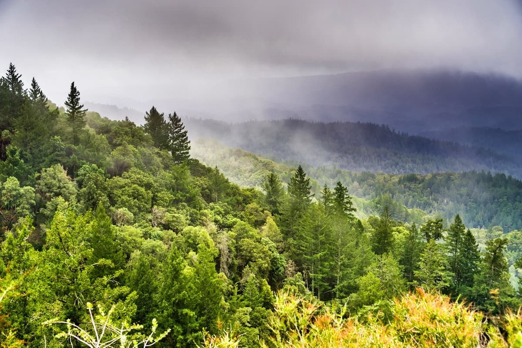
Looking for a place to stay near Castle Rock State Park? Here are some of the best cities to check out in the surrounding region.
Often referred to as the “capital of Silicon Valley,” San Jose is the largest city in the San Francisco Bay Area, a geographically diverse and extensive metropolitan region that is home to nearly 8 million residents. The city is best known for its connections to major global tech companies, but it’s also notable for its contributions to manufacturing, science, and healthcare.
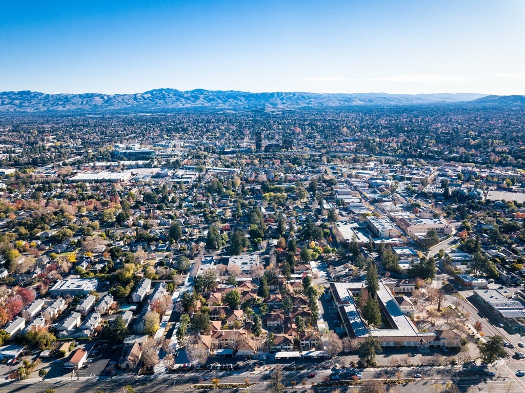
San Jose is a great hub for exploring the great outdoors. It’s located less than an hour from both Castle Rock State Park and Big Basin Redwoods State Park, and it features many regional parks and miles of scenic trails.
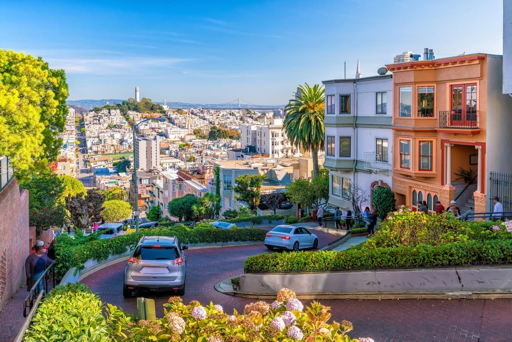
Situated just an hour to the north of San Jose, San Francisco is a popular tourist destination that’s best known for its steep rolling hills, eclectic architecture, and unique landmarks, like the Golden Gate Bridge and Alcatraz, a rocky island that once served as a federal prison.
The city of San Francisco, which lies on a peninsula between the Pacific Ocean and San Francisco Bay, is surrounded by both the mountains and the coast, making it a popular destination for outdoor recreationalists.
Visitors to San Francisco can explore the region’s many parks and popular attractions, which include the Golden Gate National Recreation Area, Muir Woods National Monument, Mount Tamalpais State Park, Castle Rock State Park, Point Reyes National Seashore, Mount Sutro Open Space Reserve, Glen Canyon Park, and San Bruno Mountain State Park, among many others.
Explore Castle Rock State Park with the PeakVisor 3D Map and identify its summits.


