We use necessary cookies to make the website work, also they are used to understand site usage and make improvements.
Accept
Reject
PeakVisor
Explorer
Explorer
Ski Map
Hike Map
3D Map
Get PeakVisor App
Sign In
Search by GPS coordinates
Teleport
Latitude
N
S
°
'
''
Longitude
E
W
°
'
''
Units of Length
m/km
ft/mi
Explorer
Ski Map
Hike Map
3D Map
Search by GPS coordinates
Settings
Sign In
Contact us
GPS coordinates
Settings
Share
×
Copy Link
Copy Coordinates
Facebook
Twitter
Email
Scan the QR code and open PeakVisor on your phone
❤ Wishlist
×
Choose
Delete
Oliver Weniger-Schönthier
Mountain
20
Mountain Hut
28
Mountain pass
7
Lake
12
Ultra
1
Highest check-in
Peak:
Zugspitze
Elevation:
2 962 m
Most prominent check-in
Peak:
Zugspitze
Prominence:
1 745 m
66 check-ins
By Date
By Date
By Elevation
By Prominence
Bumper-Boats
1714916649
123 m
Mühlteich
1710000300
282 m
Bremer Hütte
1709996271
538 m
Schutzhütte "Stempelsbuche"
1709995181
640 m
Rasthütte Am Scharfenstein
1709986561
634 m
Scharfenstein
1709984506
698 m
(prom:
60 m
)
Wolfsteich
1709975092
267 m
Touristinformation
1709974674
258 m
dr‘ schonzewiert
1708880850
866 m
Kneipp-Anlage
1708853874
825 m
Tourismus Oberstdorf
1708853345
811 m
Oberstdorf Haus
1708798650
811 m
Tourist-Information
1708763270
804 m
Max Hütte
1708688626
1 365 m
Obere Heuberghütte
1708686584
1 437 m
Zafernahütte
1708685551
1 400 m
Berggasthof Gaisalpe
1708601594
1 143 m
Berggasthof Auenhütte
1708518404
1 273 m
Deizisauer Hütte
1708518394
1 270 m
Tafel & Zunder
1708508705
2 024 m
Bergstüble
1708429038
1 234 m
Alpe Oberwestegg
1708427980
1 304 m
Außerwaldhütte
1691155745
1 166 m
Berghaus am Söller
1690987149
1 369 m
Fellhorn
1690974194
2 038 m
(prom:
235 m
)
Bärgunt-Hütte
1690811056
1 408 m
Hochalppass
1690806325
1 938 m
Seekopf
1690805409
2 039 m
(prom:
36 m
)
Puig de Maria
1684943127
330 m
(prom:
269 m
)
Coll des Pedregaret
1684850751
316 m
Pas de s'Aritja
1684844075
391 m
Pas d'en Grau
1684684440
35 m
Cala Conills
1684667601
1 m
Refugi del Pont Romà
1684520980
53 m
Sa Caleta
1684415331
3 m
Lütgenberg
1682767743
327 m
Edmund-Probst-Haus
1672585441
1 932 m
Nebelhorn
1672577152
2 225 m
(prom:
45 m
)
Hasselteich
1671285227
524 m
Rudolfklippe
1671283533
574 m
Laufbichelsee
1662976157
2 013 m
Koblatsee
1662974383
1 972 m
Kleiner Herrenberg
1662740777
940 m
Kuhgehrensattel
1662540273
1 862 m
Älpelesattel
1662373837
1 772 m
Murmeleshütte
1662303551
985 m
Christlessee
1662281428
927 m
Heidelbeerkopf
1662124684
1 767 m
(prom:
59 m
)
Sonnenkopf
1662121500
1 713 m
(prom:
31 m
)
Zugspitze
1659004175
2 962 m
(prom:
1 745 m
)
Knorrhütte
1658989393
2 052 m
Kreuzalm
1658669119
1 600 m
Kreuzeckhaus
1658668467
1 652 m
Hupfleitenjoch
1658666222
1 750 m
Eckbauer
1658489060
1 237 m
(prom:
64 m
)
Gudiberg
1658483100
729 m
Silberteich
1655022557
619 m
Talsperre Wendefurth
1654863584
351 m
Kirchhofsberg
1654862591
460 m
(prom:
5 m
)
Rotestein
1654858548
519 m
(prom:
50 m
)
Pötzschner-Hütte
1653668922
761 m
Großer Burgberg
1653137396
489 m
(prom:
29 m
)
Süntelkammhütte
1650712417
340 m
Boulderwand
1650709703
324 m
Kuhgehrenspitze
1628240989
1 910 m
(prom:
60 m
)
Achtermannshöhe
1601713906
925 m
(prom:
105 m
)
Ultra mountains of Austria
All summits:
1 out of 13
Germany
Independent peaks:
1 out of 147
Highpoints:
1 out of 16
Austria
Independent peaks:
1 out of 790
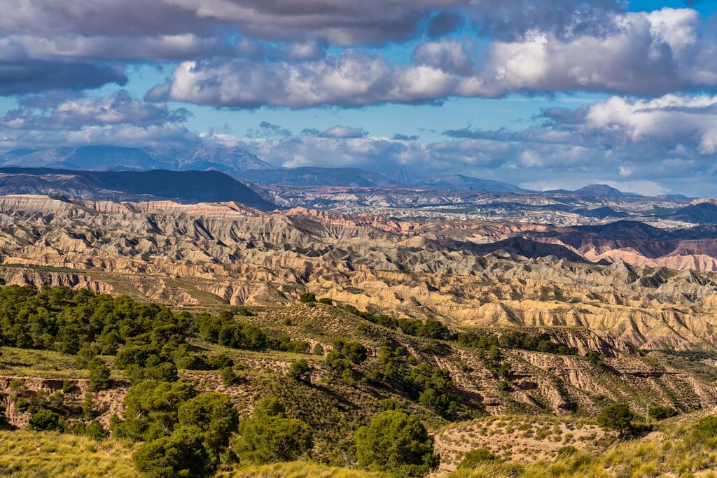
Spain
Lower Saxony
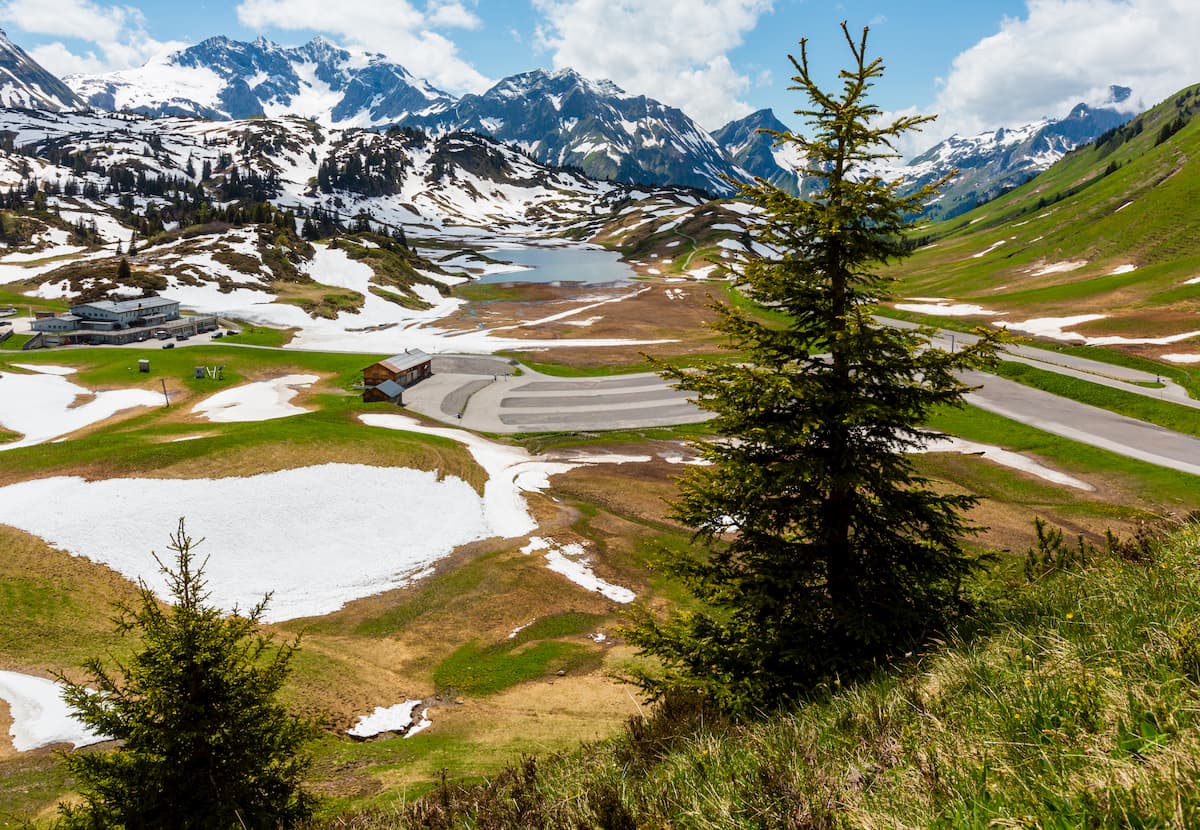
Vorarlberg
Saxony-Anhalt
Bavaria
Independent peaks:
1 out of 119
Highpoints:
1 out of 81
Tyrol
Independent peaks:
1 out of 257
Highpoints:
1 out of 9
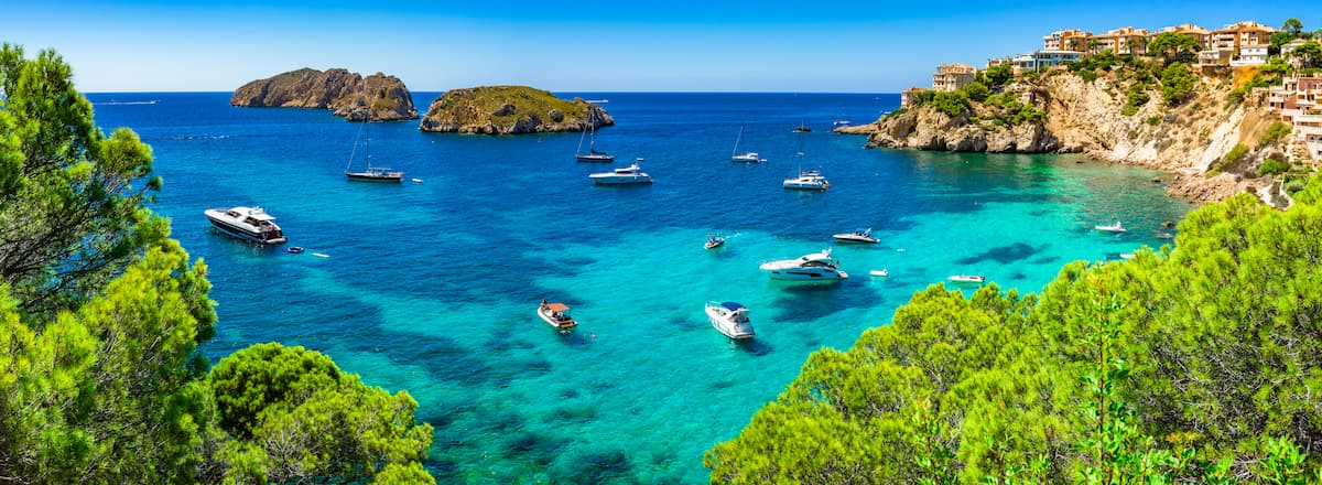
Balearic Islands
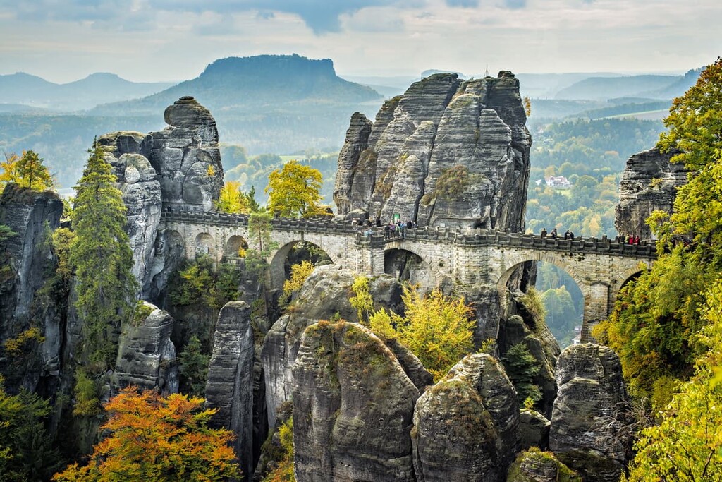
Saxony
Alps
Independent peaks:
1 out of 2450
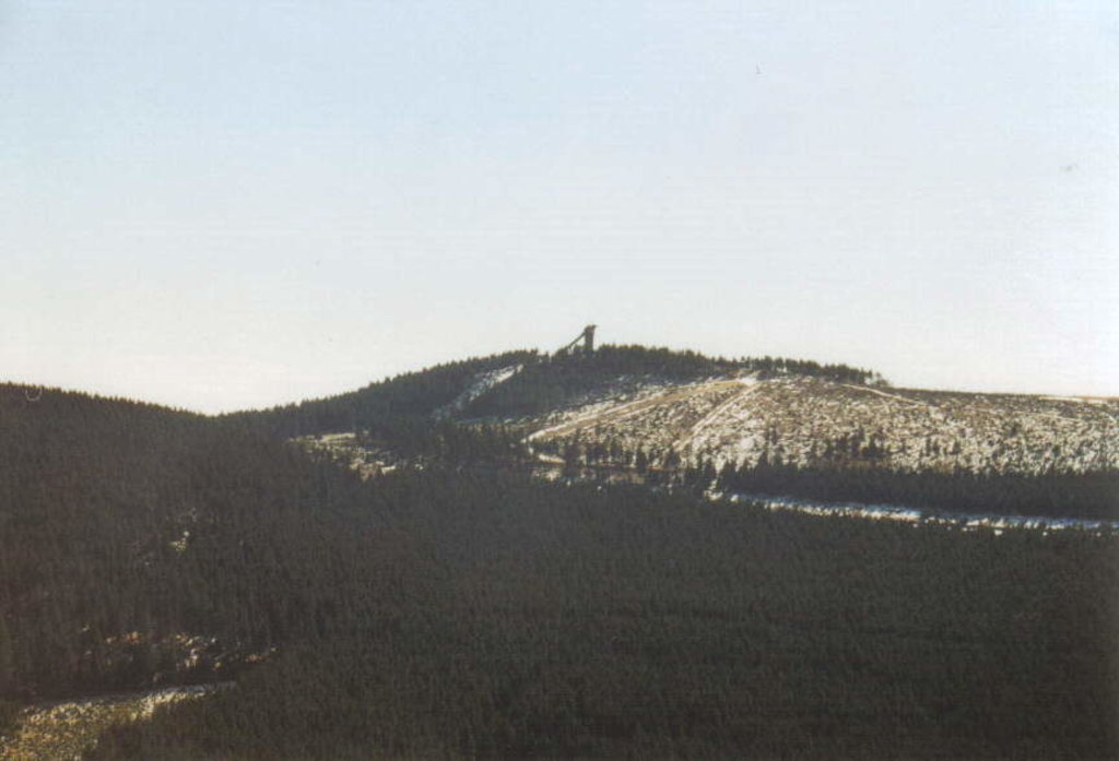
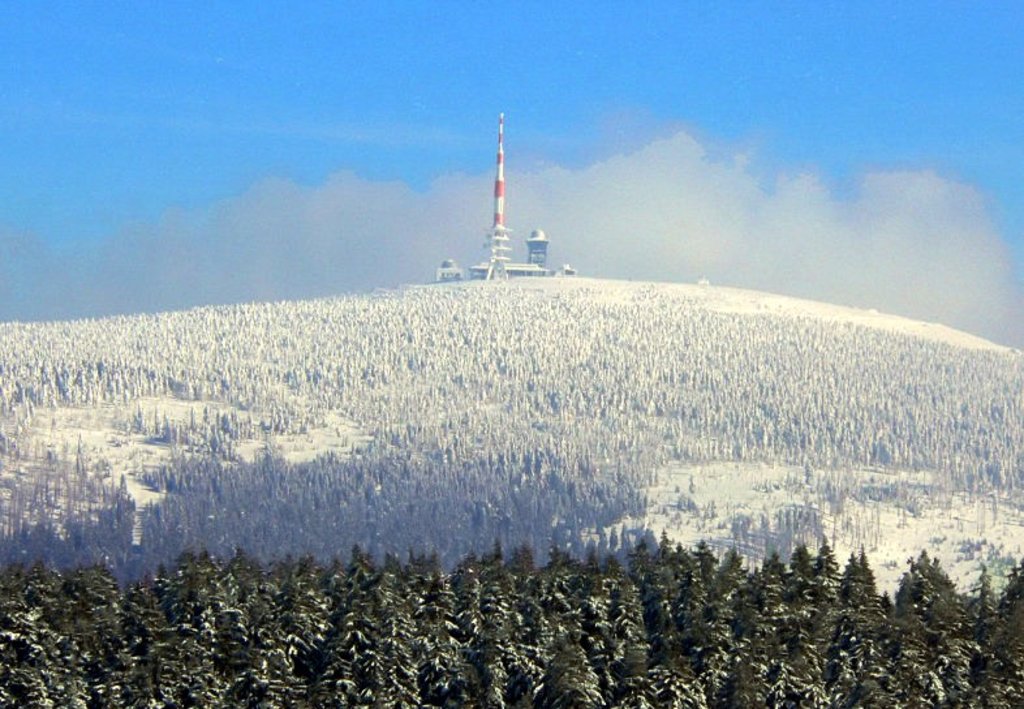
Harz National Park
All summits:
3 out of 203
NSG Hohenstein
All summits:
1 out of 9
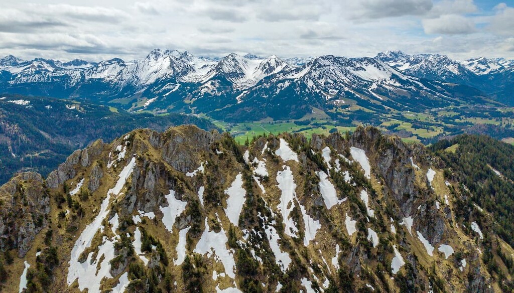
Allgäuer High Alps (Allgäuer Hochalpen)
Naturpark Nagelfluhkette
All summits:
1 out of 77
PeakVisor for iOS and Android
Be a superhero of outdoor navigation with state-of-the-art 3D maps and mountain identification in the palm of your hand!
Scan the QR code to download PeakVisor mobile app