We use necessary cookies to make the website work, also they are used to understand site usage and make improvements.
Accept
Reject
PeakVisor
Explorer
Explorer
Ski Map
Hike Map
3D Map
Get PeakVisor App
Sign In
Search by GPS coordinates
Teleport
Latitude
N
S
°
'
''
Longitude
E
W
°
'
''
Units of Length
m/km
ft/mi
Explorer
Ski Map
Hike Map
3D Map
Search by GPS coordinates
Settings
Sign In
Contact us
GPS coordinates
Settings
Share
×
Copy Link
Copy Coordinates
Facebook
Twitter
Email
Scan the QR code and open PeakVisor on your phone
❤ Wishlist
×
Choose
Delete
Jo Jeffreys
Mountain
13
Mountain Hut
0
Mountain pass
0
Lake
0
Ultra
0
Highest check-in
Peak:
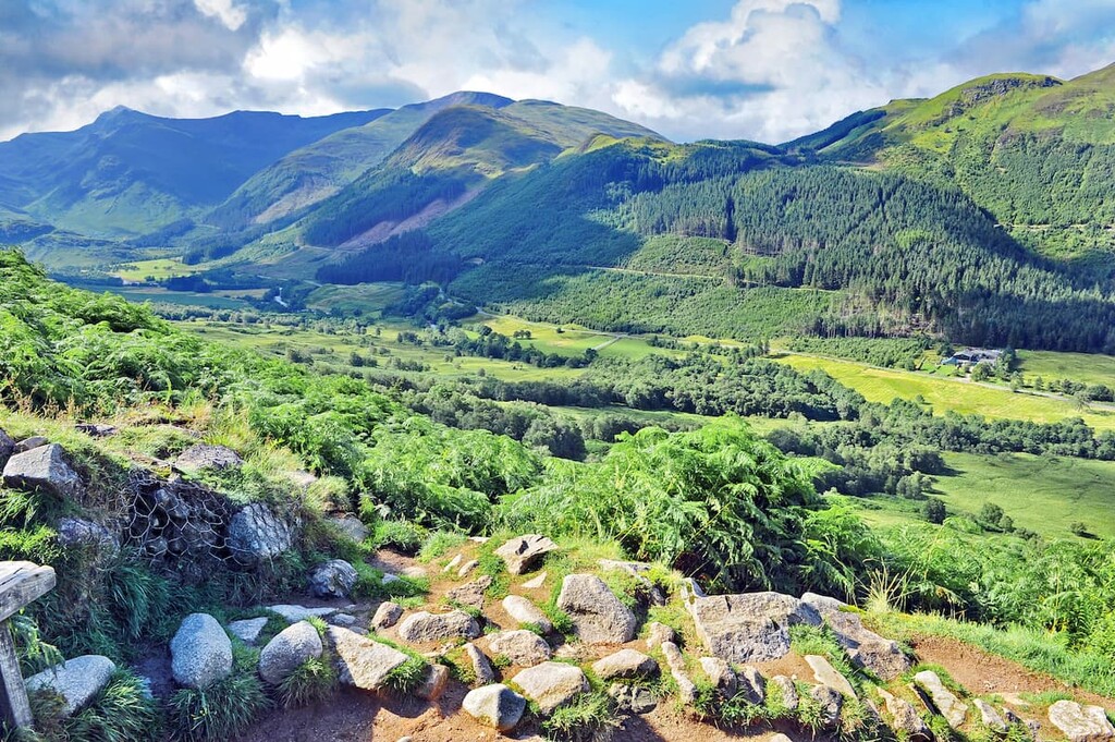
Ben More
Elevation:
1 174 m
Most prominent check-in
Peak:
Ben More
Prominence:
984 m
13 check-ins
By Date
By Date
By Elevation
By Prominence
Craigellachie
1704113309
494 m
(prom:
46 m
)
Ben Ledi
1683972406
879 m
(prom:
525 m
)
Loudoun Hill
1682947057
316 m
(prom:
75 m
)
Barony Hill
1680965332
317 m
(prom:
11 m
)
Neilston Pad
1668348360
261 m
(prom:
51 m
)
Scald Law
1663588994
580 m
(prom:
313 m
)
West Kip
1663586562
551 m
(prom:
85 m
)
Hill of Stake
1661689162
522 m
(prom:
485 m
)
Ben More
1652541096
1 174 m
(prom:
984 m
)
Beinn Dubh
1651935634
645 m
(prom:
50 m
)
Windy Hill
1651497036
316 m
(prom:
28 m
)
The Slacks
1645277509
365 m
(prom:
42 m
)
Duncryne
1643547958
142 m
(prom:
68 m
)
Munros
All summits:
1 out of 282
Marilyns of Great Britain
All summits:
4 out of 1623
Corbetts
All summits:
1 out of 222
United Kingdom
Independent peaks:
4 out of 489
Scotland
Independent peaks:
4 out of 404
Highpoints:
2 out of 30
Grampian Mountains
Independent peaks:
2 out of 151
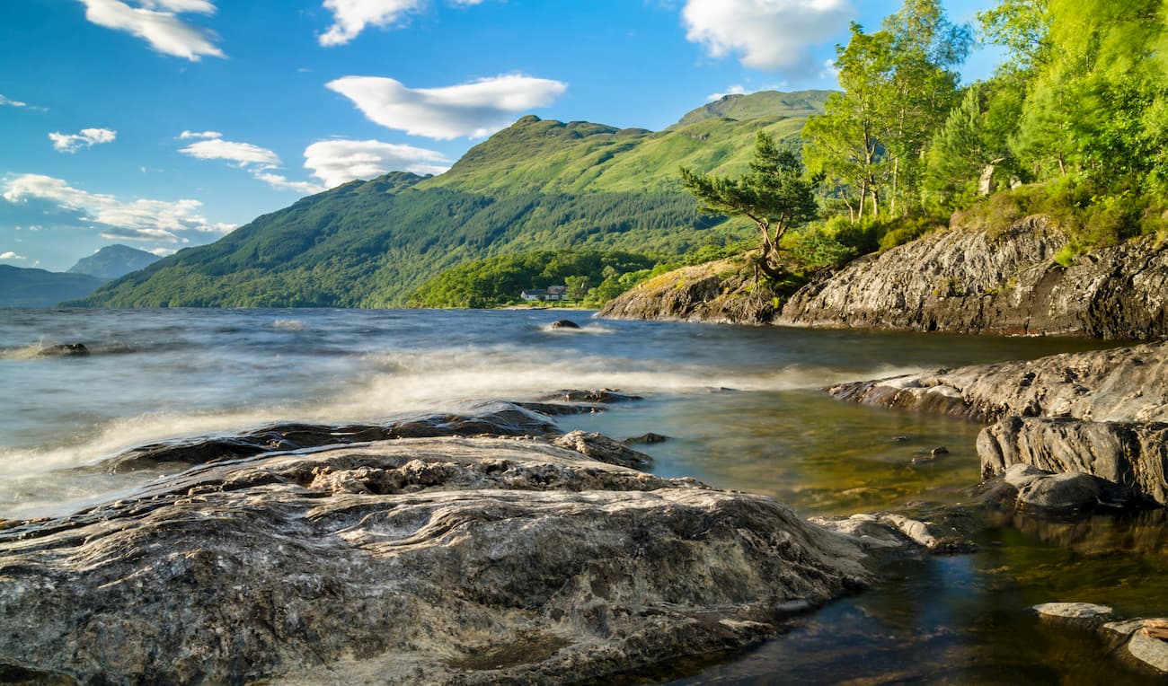
Loch Lomond and The Trossachs National Park
Independent peaks:
2 out of 38
Clyde Muirshiel Regional Park
All summits:
2 out of 166
Pentland Hills Regional Park
All summits:
2 out of 44
Cairngorms National Park
PeakVisor for iOS and Android
Be a superhero of outdoor navigation with state-of-the-art 3D maps and mountain identification in the palm of your hand!
Scan the QR code to download PeakVisor mobile app