Scan the QR code and open PeakVisor on your phone
Loch Lomond and The Trossachs National Park is the most popular of Scotland's two National Parks, thanks to its convenient location, serene lochs, and easily scalable mountains. The park covers 720 square miles ranging from lowlands and lochs to snow-capped mountains. The park sits primarily within the historic county of Stirlingshire. Despite its seemingly remote location, around 50% of Scotland's population live within an hour's drive of Loch Lomond and the Trossachs National Park.
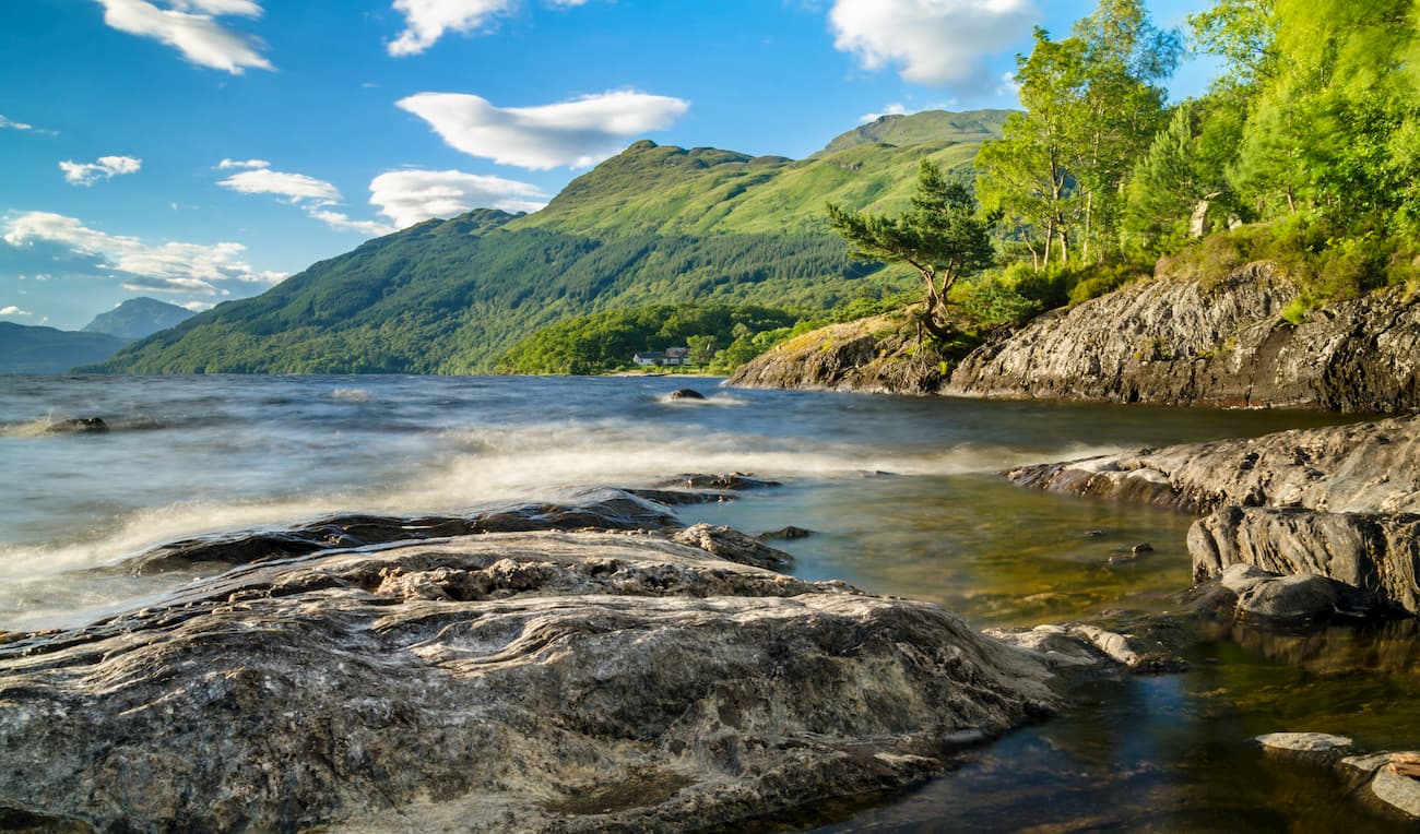
You'll find 21 of Scotland's 282 Munros within the park, as well as 19 Corbetts (summits between 2,500 and 3,000 ft). The park takes its name from Loch Lomond, the largest lake in Great Britain. Loch Lomond sits in the shadow ofBen Lomond (974 m), one of the most frequently climbed mountains in Scotland.Ben Lomond is also the most southerly of the Munros.
The park's other namesake is The Trossachs glen, which lies to the east of Loch Lomond. These glens feature several lochs and acres of lush woodlands that are very popular with hikers due to their proximity to Glasgow. The area is protected mainly by the Great Trossachs Forest National Nature Reserve, the largest nature reserve in the UK.
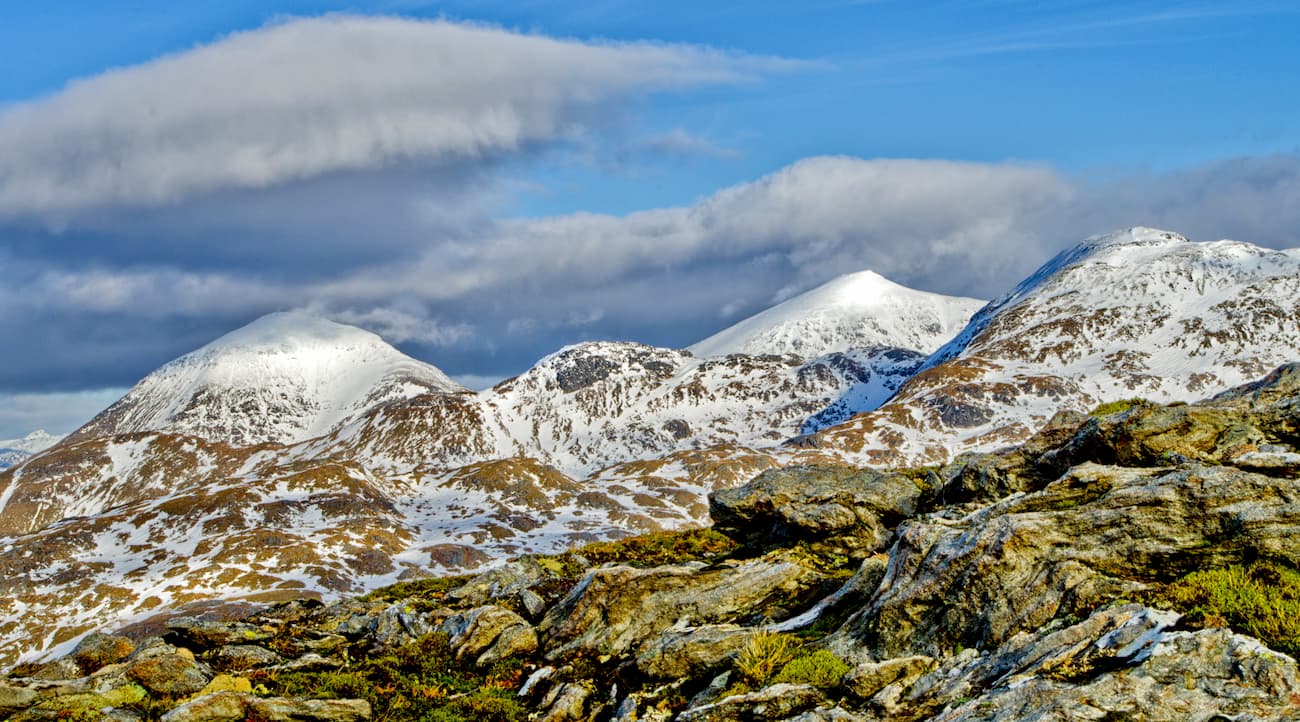
Of Loch Lomond and The Trossachs National Park's 21 Munros, the highest and most prominent peak isBen More (1,170 m). Other notable Munros within the national park includeStob Binnein (1,165 m),Ben Lui (1,130 m), andCruach Ardrain (1,046 m). The park is also home to 22 large lochs and approximately 50 rivers and streams, making it a hotbed for watersports.
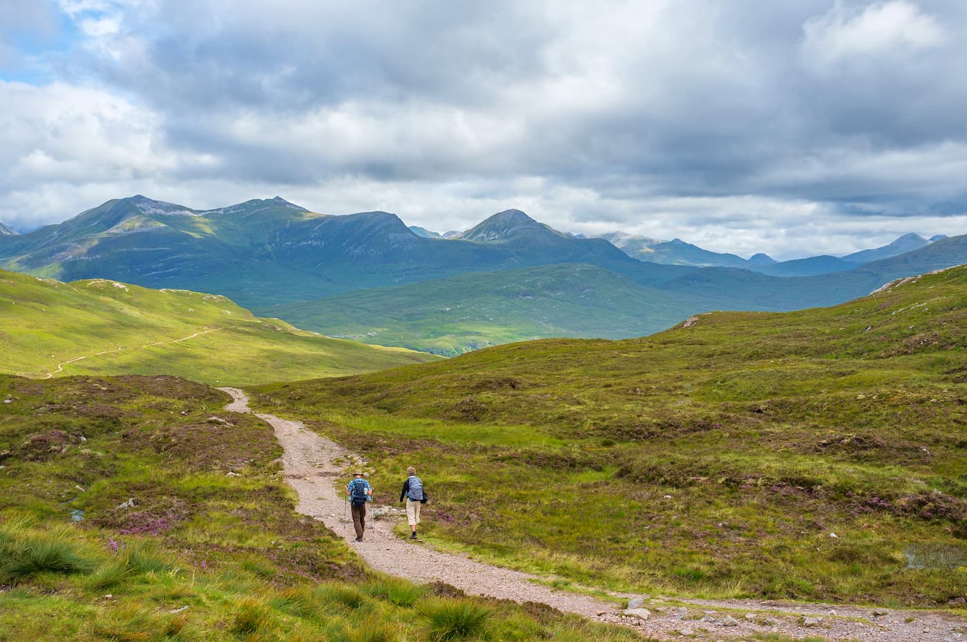
Read on to discover the best mountain treks and hiking trails to Loch Lomond and The Trossachs National Park.
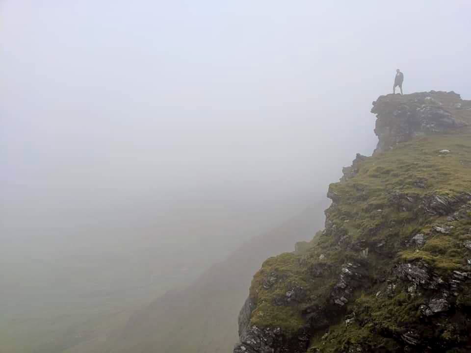
Ben More is the highest mountain in Loch Lomond and The Trossachs National Park and provides a challenging trek for even the most experienced mountain climber.Ben More's pyramidal shape makes it a steep and unrelenting Munro to bag. The path upBen More disappears in places and the hike up the mountain can be dangerous, especially if you don't map out a route or attemptBen More during poor weather. One popular way to tackle this tricky mountain is descending via the neighboringStob Binnein, which allows you to bag two Munros without much additional hiking. The walk up these two peaks is 7 and a half miles, ascends 1,335 meters, and takes around 7 hours.
The hike starts from the Ben More Trailhead near Ben More Farm. The path climbs steeply uphill, passing through a gate and up stone stairs to the Sloc Curraidh corrie. To the north, follow the path to the left of a dyke that weaves up past the corrie. The ascent up Cuidhe Chrom is the steepest part of the walk. Upon reaching the summit of Ben More, you'll have beautiful views ofBen Lui andBen Lawers.
To descendBen More, head south towardsStob Binnein. The path toStob Binnein is clear but very steep. You may have to scramble over one wall, but this can be avoided by keeping left. Along the way, you'll happen upon the Bealach Eadar da-Bheinn (a mountain pass marked with a boulder) down at 862 meters before making your ascent upStob Binnein. The path is clear and easy to follow, meandering to the summit.
Stob Binnein arguably offers better views thanBen More, with the Trossachs visible to the south. To descend, head back to Bealach Eadar da-Bheinn. There are several ways to leave the mountain pass; however, a few are hazardous. The best way during good weather is to head west downhill from the bealach. The area can be boggy, but there is a path by the stream which forms and can be followed down the mountains.
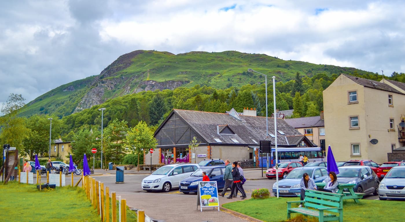
Ben Lomond is perhaps the most popular Munro in Scotland. With well-maintained tracks and a leisurely incline, it's an easy trek for hikers who exercise regularly. Another reasonBen Lomond is so popular is that it provides sweeping vistas of the largest lake in Great Britain, Loch Lomond. The most common way to reach the summit ofBen Lomond is along the tourist path. The hike is 7 miles, ascends 990 meters, and takes 4 to 5 hours.
Pick up the trail at the Rowardennan car park, passing through the visitor area and onto the obvious path through the woodlands. The tourist path is easy to follow, with signposts and a clear route. The path weaves up the mountain and onto the open hillside. Ensure you take a minute to admire the beautiful views of Loch Lomond's islands.
On the shoulder of the mountain, you'll pass byBen Lomond's eastern corrie, with steep cliffs off to the right. From here, it's just a short walk to the summit.Ben Lomond's summit is marked with a trig point, with stunning views of Loch Lomond and the Trossachs. The tourist path is an out and back trail, so retrace your steps back down the mountain for the easiest descent.
With its bowl-shaped corrie and panoramic views of the Southern Highlands,Ben Lui is considered to be one of the finest climbs in Loch Lomond and The Trossachs National Park. HikingBen Lui is tough going and may require some scrambling in poor weather. Make sure you plan out your route and bring the appropriate equipment. The easiest and quickest way to scaleBen Lui is from Glen Lochy. The walk is 6 miles, ascends 1,078 meters, and takes approximately 6 hours.
Start your ascent from the Glen Lochy Forestry car park along the A85. The path toBen Lui is well-worn and easy to follow. Use the bridge to cross the River Lochy. Continue along the path, crossing the Eas Daimh and Fionn Choire burns and following the trail uphill. Head for the bealach (mountain pass) betweenBen Lui andBeinn a'Chleibh (916 m). Head for the summit of Ben Lui along the steep ridge. The highest summit is marked with a cairn that sits precariously on a cliff overlooking Coire Gaothach.
If you have some spare energy, head across the bealach and bag the summit ofBeinn a'Chleibh, across the broad plateau. While the views are nowhere near as impressive as its neighbor, it's a great spot for a picture ofBen Lui andBen Cruachan (1,126 m) in the distance. This is an out and back route, so retrace your steps, being mindful not to slip on steep sections on the bealach.
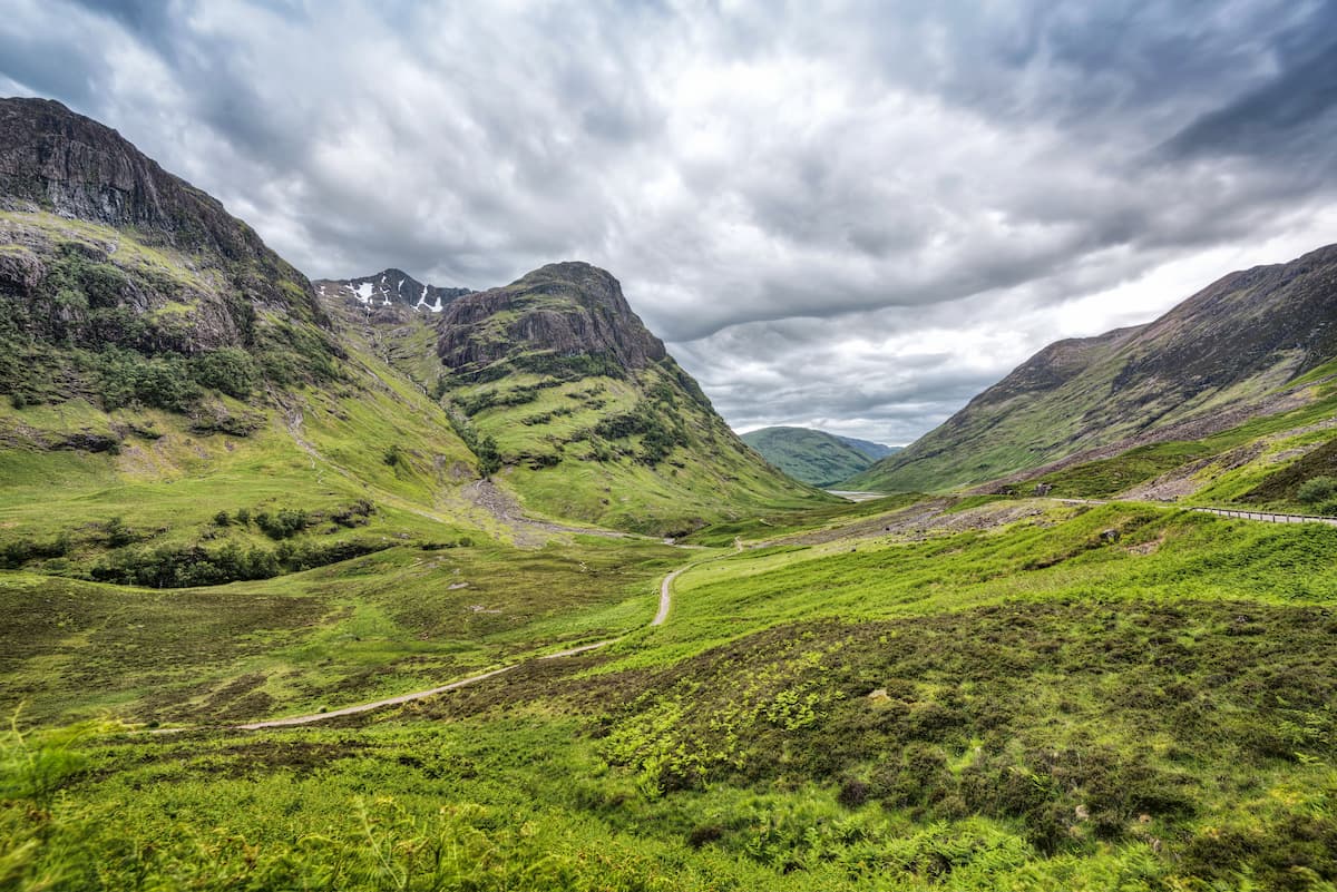
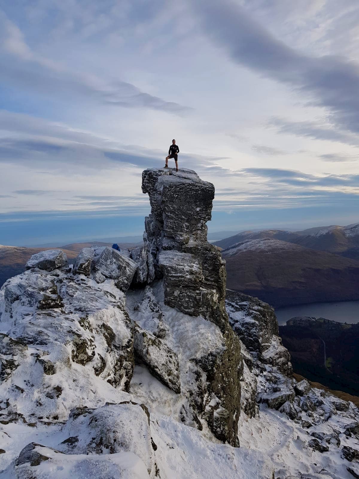
Ben Arthur (876 m), commonly referred to as The Cobbler, is often regarded as the finest Corbett in Loch Lomond and The Trossachs National Park.The Cobbler is a shorter climb than many mountains in the park and its three summits boast rugged outcrops, ideal for rock climbers. These features makeThe Cobbler one of the most popular mountain hikes in the Southern Highlands. The best way to climb The Cobbler is from the village of Succoth. The hike is 7 miles, ascends 920 meters, and takes about 5 hours.
From the car park in Succoth, follow the red waymarked trail, following the clear path through some woodlands and along a stream. Near a hydro dam, the summits ofThe Cobbler will be visible up ahead. Continue along the trail which passes over several streams with stepping stones. You'll eventually reach the Narnain boulder shelters, which are a great place to take a breather.
At the fork in the road, take a left. The right path leads upBeinn Narnain (926 m) andBeinn Ìme (1,011 m). The central and highest peak features a rocky outcrop which juts several meters high. You'll want to skip scaling the mountain's true peak if you're not an experienced rock climber, as it's a grade 5 scramble. The south peak is an even harder scramble and is perhaps best admired from a distance. The easiest of the three is the north peak, which affords dramatic views of the central rocky outcrop. To descendThe Cobbler, either go back the way you came or take the harder southeastern path, which requires a simple scramble.
A popular hill walk,Conic Hill (353m), is a quick yet steep hike that offers gorgeous panoramas of Loch Lomond and quaint villages like Balmaha. The quickest and easiest way to scale Conic Hill is to follow the there and back trail. Alternatively, you can complete the circular walk which follows a longer stretch of the West Highland Way than the there and back route. The there and back route is 2 and a half miles, ascends 350 meters, and takes 2 or 3 hours.
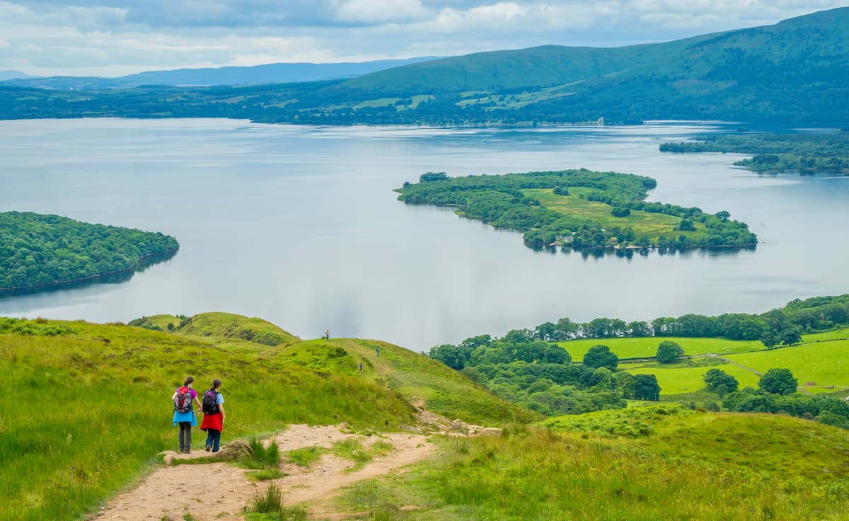
From Balmaha car park, follow the path right, which is marked with thistle symbols. The trail climbs quickly up the hill onto a col betweenConic Hill and its neighbor. Continue following the West Highland Way along the ridge, ignoring any other paths. From atopConic Hill, you'll be treated to remarkable vistas of Loch Lomond and its islands. To return to Balmaha, either retrace your steps or continue along the circular route along the West Highland Way over the north side ofConic Hill.
Adventurers searching for a long-distance trek that runs through the heart of the Southern Highlands should hike the West Highlands Way. The walk runs for around 94 miles from Fort William to Milngavie just north of Glasgow and is one of Scotland's Great Trails. The trail skirts the edge of Loch Lomond, and leads to Ben Nevis (1,345 m), in case you fancy scaling the highest mountain in the UK.
If you plan on staying within Loch Lomond and The Trossachs National Park and don't want to walk the full distance, the West Highland Way can be easily split into shorter walks. Popular routes within the park are Drymen to Rowardennan (14 miles) which includes Conic Hill, and Rowardennan to Inverarnan (14 miles) which is considered the hardest section of the walk.
You'll also find a couple of other excellent long distance walks in Loch Lomond and The Trossachs National Park, like the Rob Roy Way (79 miles) and the Great Trossachs Path (30 miles).
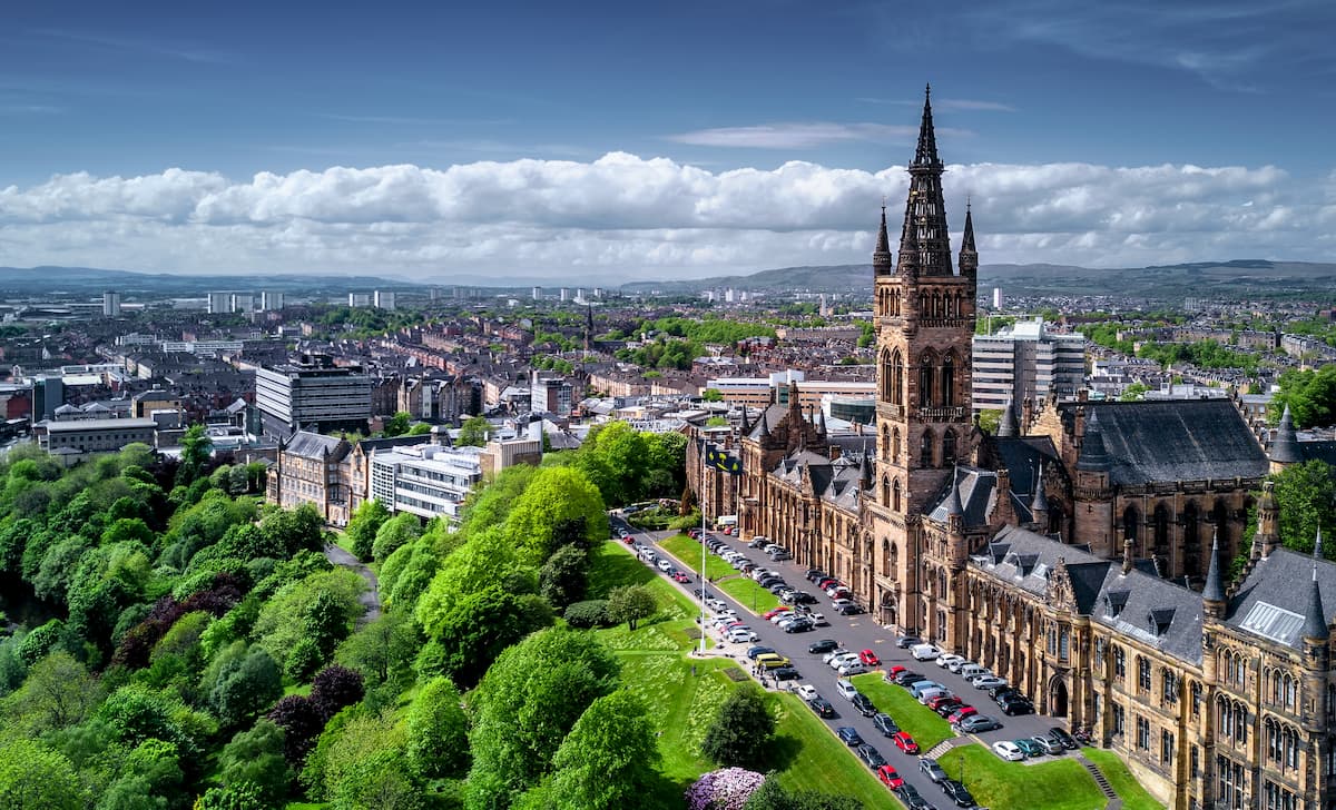
Scotland's largest city, Glasgow, is within touching distance of Loch Lomond and The Trossachs National Park. Glasgow is situated just 21 miles south of one of the largest wilderness areas in Scotland. You'll find plenty to do while staying in Glasgow, from the fascinating collection at Kelvingrove Art Gallery and Museum to shopping along Buchanan Street. Glasgow is also home to some of the best temporary accommodation in Scotland, from the reasonably priced Alamo Guest House to classy Kimpton Blythswood Square Hotel.
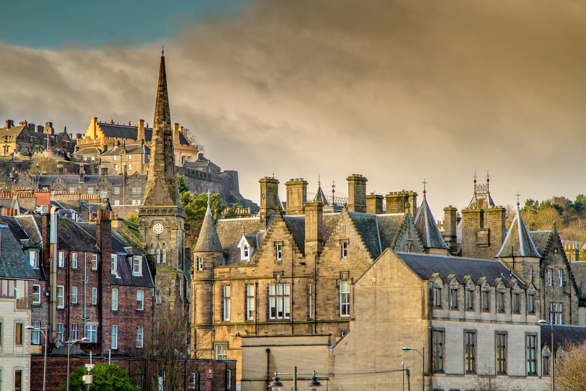
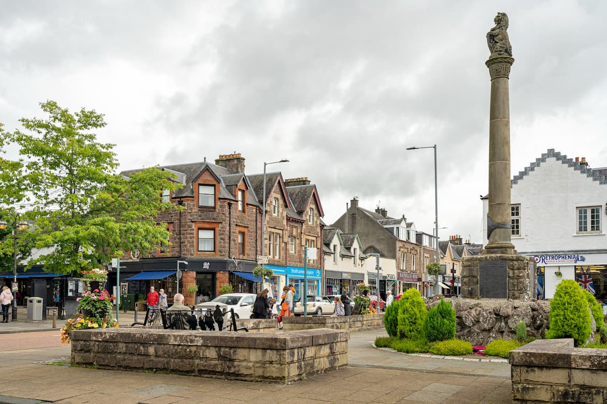
Stirling is the closest major settlement to Loch Lomond and The Trossachs National Park. Just 18 miles from the park's southeastern boundary, Stirling is the ideal base from which to access the likes ofBen Lomond andBen Vorlich (985 m). Sterling is renowned for its scenic medieval old town. Due to its location at the edge of the park, Stirling is considered a gateway to the Highlands. You'll find some superb historic attractions in Stirling, such as the medieval Stirling Castle and the 15th-century Holy Rude church. If you plan on staying in Stirling, consider booking a room at Victoria Square or the Stirling Highland Lodge.
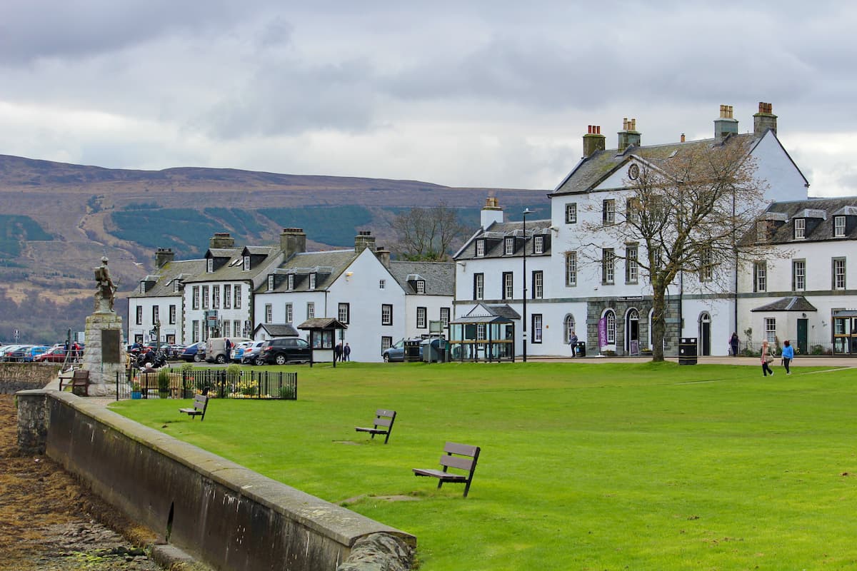
Perched on the western shores of Loch Fyne is the small town of Inveraray. Located on the western side of Loch Lomond and The Trossachs National Park, Inveraray is a popular tourist destination thanks to the exquisitely preserved 18th-century Inveraray Castle. A short 14-mile drive around the northern edge of Loch Fyne and you'll be a stone's throw from Beinn Ìme and The Cobbler. Some of the best hotels in Inveraray include Rudha-Na-Craige, Brambles of Inveraray, and Loch Fyne Hotel & Spa.
Over the years, Aberfoyle has become a popular village with tourists, thanks to its views of the River Forth and its location near the Queen Elizabeth Forest Park. Located in the southeast of Loch Lomond and The Trossachs National Park, Aberfoyle is just 10 miles from Ben Lomond and just 7 miles from Ben Venue (725 m). The Forest Lodge Visitors Centre is popular with hikers, as it provides an excellent way to see local wildlife. Adventurers will also love having a go on Aberfoyle Go Ape's obstacle courses and ziplines. Hikers planning a stay in Aberfoyle should spend the night at the Rob Roy Hotel or the Fourth Inn.
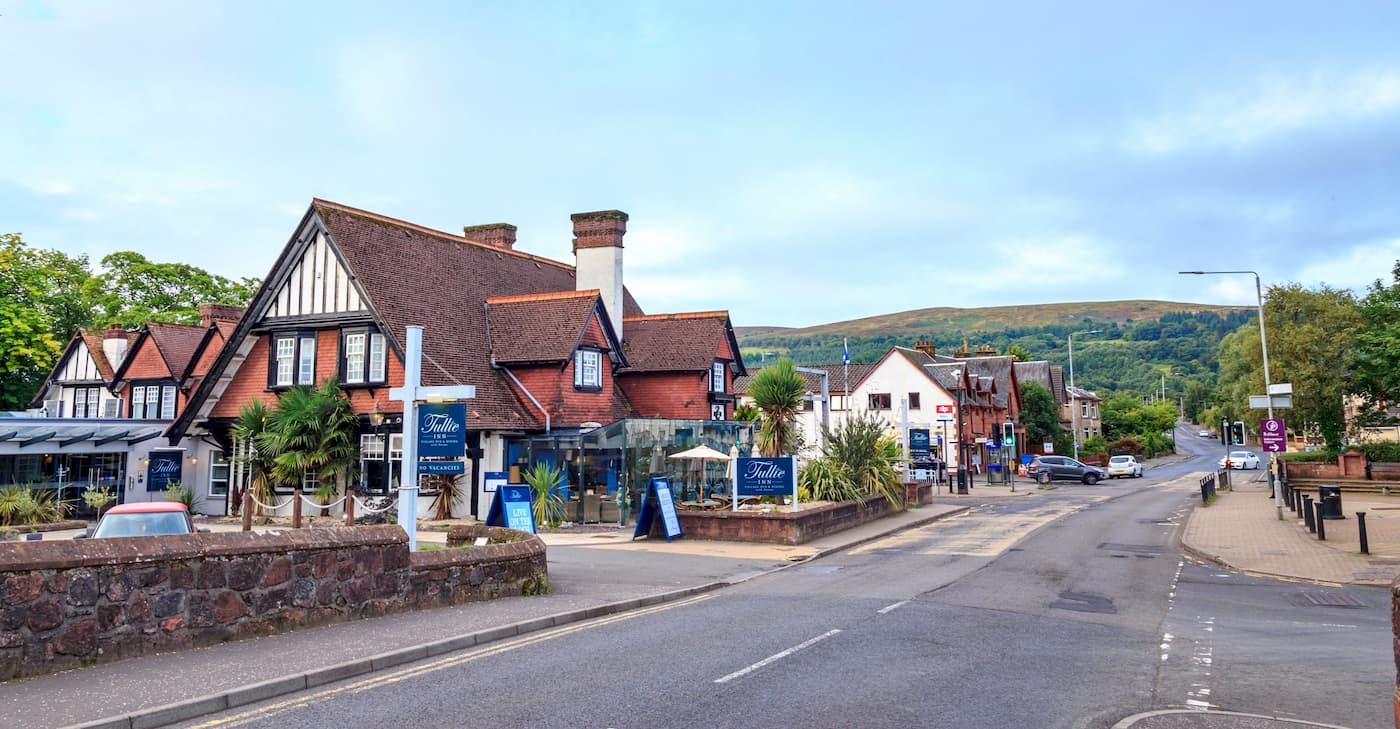
Located on the eastern edge of Loch Lomond and The Trossachs National Park is the town of Callander. It's become popular with hikers due the variety of hikes within close proximity of the town, with Ben Ledi (874 m) 5 miles north and the Callander Crags (343 m) which provide a bird's eye view of Callander. While climbing the Callander Crags, ensure you stop and admire the beautiful Bracklinn Falls. If you're planning to stay in Callander, consider booking a room at the Roman Camp Hotel or Abbotsford Lodge.
If you're looking for a place to stay on the shores of Loch Lomond, consider Balloch. This village is sat on the southern tip of Loch Lomond, providing beautiful vistas of this vast lake. As well as providing a relaxing place to stay, there's plenty of family-friendly activities in town, including the Sea Life Loch Lomond Aquarium and the Loch Lomond Birds of Prey Centre. If you're looking for a more secluded settlement along Loch Lomond, consider staying in Luss or Inveruglas. Popular hotels in Balloch include Queen of the Loch and the Innkeeper's Lodge.