Scan the QR code and open PeakVisor on your phone
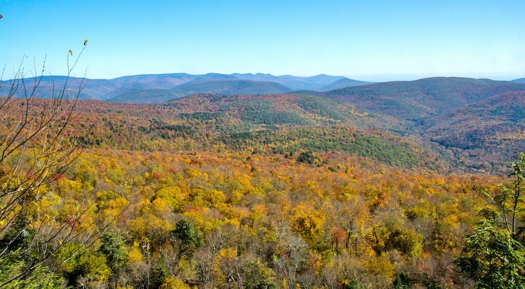
Although they’re right near the most visited peaks in the Adirondacks, the Santanoni Mountains are wild and remote, challenging anyone attempting to climb all 46 Adirondack High Peaks. There are 4 named mountains in the Santanoni Range, three of which are official Adirondack High Peaks. The highest and most prominent point in the range is Santanoni Peak at 4,606 ft (1,404 m).
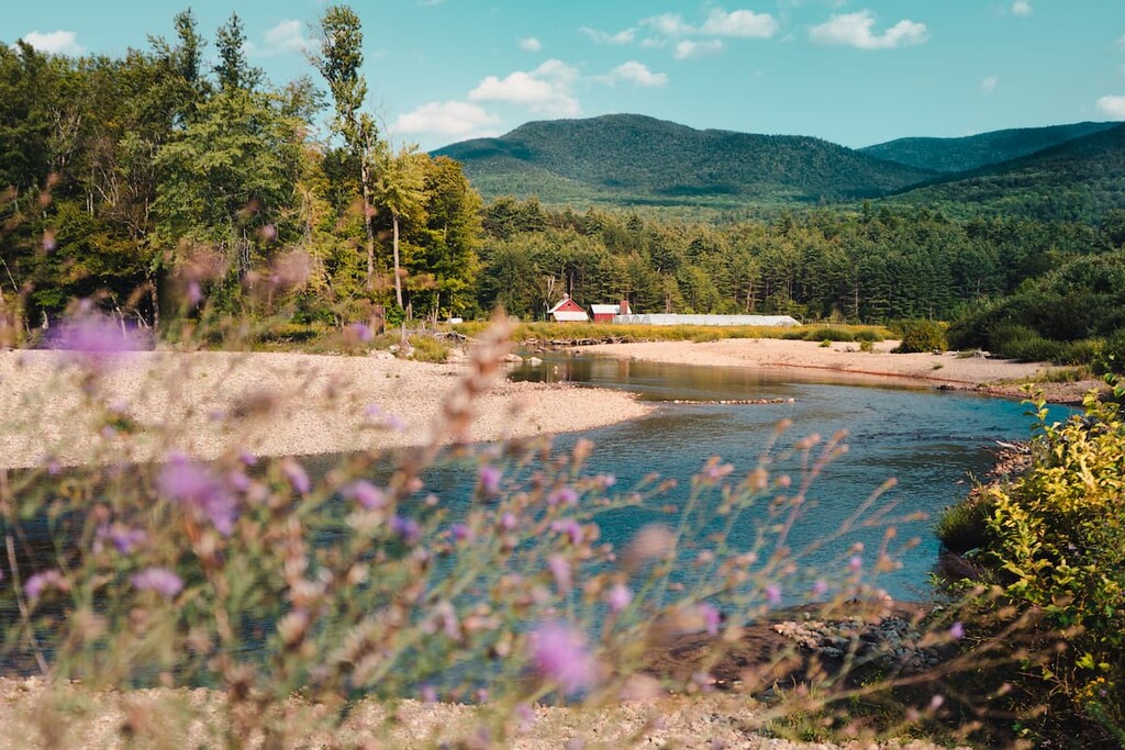
The Santanoni Mountains are located in the US state of New York, at the southern end of the High Peaks Wilderness in the Adirondack Park.
There are five named peaks in the range: Santanoni, Panther, Couchsachraga, and Little Santanoni Peak. The first three of these are counted as members of the 46 Adirondack High Peaks, even though Couchsachraga (often called Couche) is well below the 4,000 ft (1,219 m) mark with an elevation of 3,796 ft (1,157 m). The peak was measured incorrectly in the early 1900s but has remained an official High Peak out of tradition.
Santanoni Peak is the fourteenth highest mountain in the state of New York and the highest point in the Adirondacks to the west of the Hudson River. The area is known for being muddy and difficult to navigate, with tough rock scrambles in places. There are no officially maintained trails, only herd paths.
The three High Peaks in the range are usually hiked as a single long trek, sometimes as an overnight. Dispersed camping is allowed in the area, and there’s a lean-to on the trail to Santanoni Peak.
Furthermore, the Santanonis are surrounded by other Adirondack subranges, such as the Street Range and the Macintyre Mountains to the northeast and the Seward Mountains to the northwest.
The Santanoni Mountains are part of the High Peaks region, the core of the tallest mountains in the Adirondacks.
The Adirondacks are a mountain range that forms a large dome some 160 miles (257 km) wide and up to 1 mile (1.6 km) high. This makes them different from many other ranges that form long chains of peaks, like the nearby Appalachians. In fact, the Adirondacks are the only major mountain range in the US northeast that aren’t part of the Appalachians.
The Adirondacks formed as part of the Grenville Orogenic Cycle, which began long before the Appalachians started to form. They’re often called “new mountains from old rock” because the mountain-building processes at work here are relatively recent, although the bedrock itself is over a billion years old.
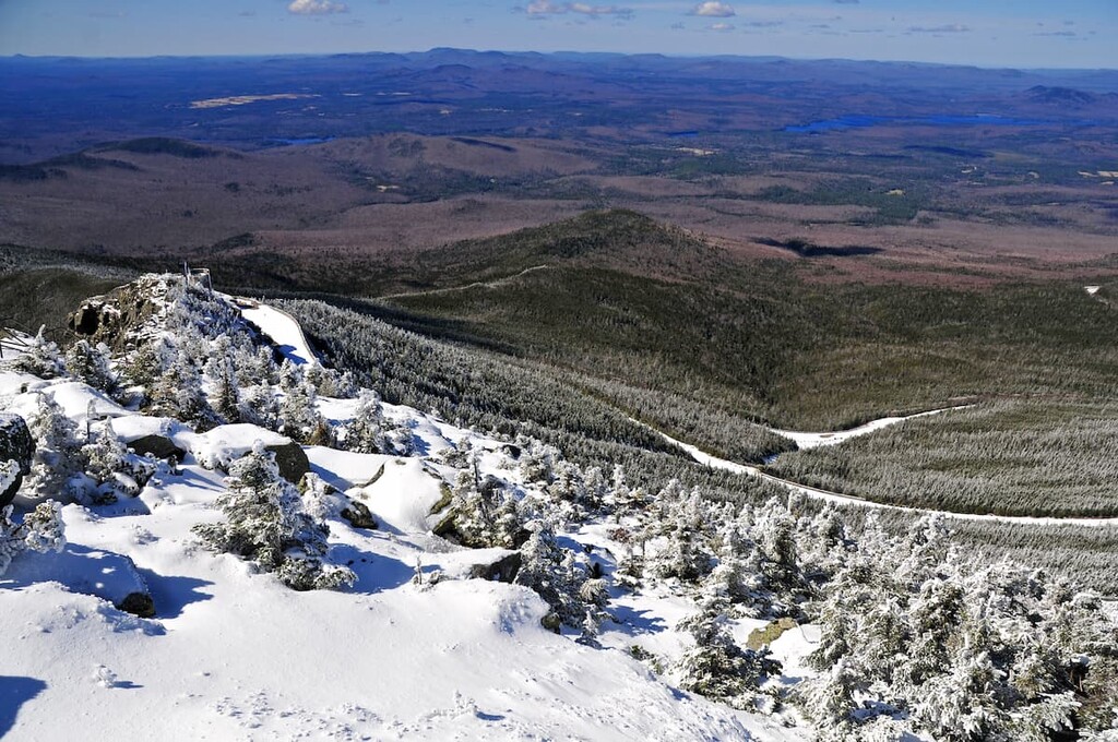
Many of the landforms in the Adirondacks were carved by glaciers, which covered New York during the last glacial maximum. This left the area with deep valleys, kettle ponds, and glacially deposited boulders called erratics.
The Santanoni Mountains are part of the Marcy Massif, which is formed mostly of anorthosite with large deposits of plagioclase feldspar. This intrusive igneous rock is formed under intense pressure that can only occur deep within Earth’s crust close to the mantle. Anorthosite is relatively rare on Earth, but it’s common on the surface of the moon.
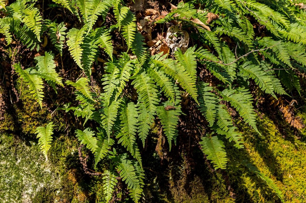
The Santanoni Mountains are almost entirely forested, even at their peaks. While they’re only a few miles away from the high alpine summits of the Great Range, they’re part of a much warmer, wetter microclimate that allows dense forests to grow even above 4,000 ft (1,219 m).
At higher elevations, the mountains feature portions of the North American Boreal Forest, with softwoods like pine and spruce dominating the landscape. Lower down the mountains, there are mixed hardwood forests with maple and beech trees as well as some conifers.
Because the Santanoni Mountains are so remote, they make a good habitat for large animals like deer, moose, and bear. The range is popular during big game hunting season, which runs from October to December in the Adirondacks. Check the DEC’s website for the exact dates and be sure to wear bright colors if you’re on the trail during hunting season.
In addition to deer, bear, and moose, there are also coyotes, beavers, bald eagles, ospreys, and wild turkeys in the area.
The area of the Adirondacks has been inhabited for over 11,000 years. The most active tribe in the region before European contact was the Mohawk (Kanienʼkehá꞉ka) Tribe, the easternmost member of the Haudenosaunee (Iroquois) Confederacy, which is now also known as the Six Nations.
The Mohawk lived primarily in what’s now the Mohawk Valley south of the Adirondacks but were pushed north further into the mountains after the arrival of European and American settlers. After the Revolutionary War, the new American government’s policies of removing Indigenosu peoples from their homelands forced many of the Mohawk over the border into Canada.
Today, some of the Adirondacks’ original Mohawk inhabitants, the St. Regis Mohawk Tribe, live on the Akwesasne/St. Regis Mohawk Reservation on the border between the US and Canada to the north of the park.
While the Mohawk were the most prominent tribe in the area, the word “Santanoni” supposedly comes from an Abenaki term. The Abenaki mostly lived on the eastern side of Lake Champlain while the Mohawk mostly resided on the western side of the lake before the arrival of European settlers.
While neither tribe settled permanently in the High Peaks, both the Haudenosaunee (Iroquois) and Algonquian-speaking Abenaki people used the land for hunting, fishing, and as a common location for trading.
The word “Santanoni” is believed to come from an Abenaki pronunciation for “Saint Anthony.” The first French fur traders and Franciscan missionaries arrived in the area on the feast day for Saint Anthony of Padua, so they named the range for him.
Santanoni Peak was first summited by people of European descent in 1866. This makes it one of the last High Peaks to be climbed by European-Americans. Large areas on the mountain were clear cut for timber that same year. The area was preserved as part of the Adirondack Park in 1892 and the forests have since regrown.
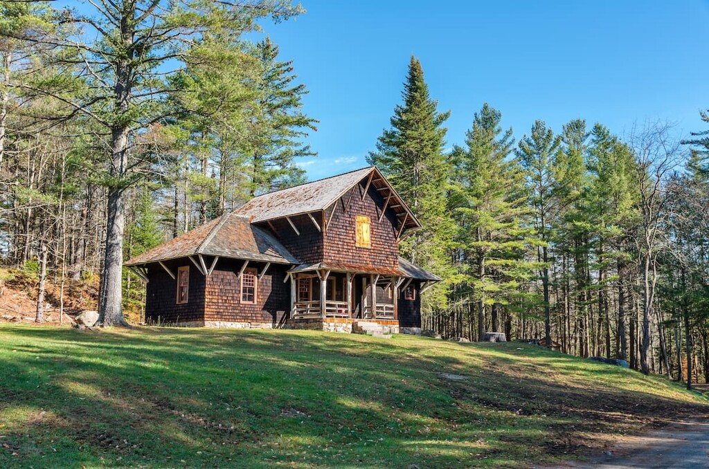
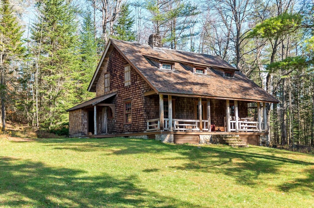
The range overlooks the Santanoni Great Camp, a historic example of the unique Adirondack “great camps” built as rustic mountain getaways for wealthy vacationers during the 1800s.
Camp Santanoni is a 13,000-acre estate now owned and managed by the state of New York. Visitors can stroll the grounds, ride bikes on the five-mile carriage road, and take in the historic buildings designed by prominent architect Robert H. Robertson.
Interested in heading out on an adventure in the Santanonis? Here are some of the best hikes and treks to check out in the range:
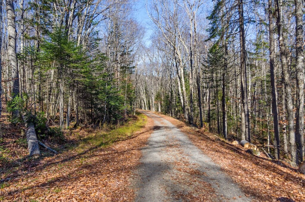
The Santanoni Range is a tough backcountry expedition, sometimes regarded as one of the more difficult ranges in the Adirondacks due to its remoteness and rough terrain. It’s known for challenging rock scrambles and deep, year-round mud on the trail leading into the range and in the col between Panther and Couchsachraga.
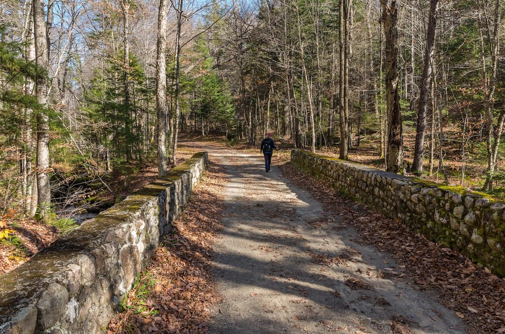
Since the trails in the range are herd paths and not officially maintained trails, they can be narrow and overgrown in places. Knee-high gaiters or long pants are recommended to protect your legs.
The trailhead for the Santanoni Mountains is on County Highway 25 in Tahawus, south of the Upper Works parking lot. From here, the trail travels west through the pass between the Santanoni Range and Mount Henderson. About 3.5 miles (5.6 km) in, you’ll have the option to continue straight directly to the summit of Santanoni, or head right around Bradley Pond and climb Panther Mountain first.
No matter which peak you summit first, you’ll need to return to the main trail at a spot called Times Square and continue about 2.2 miles (3.5 km) to Couchsachraga Peak. From there, you can return the way you came and begin the descent.
If you’re hiking all three peaks together, you can spend the night at the lean-to near Bradley Pond to break up the trip.
If you want a shorter and more manageable day hike, Santanoni Peak can be hiked on its own. You’ll start from the same trailhead on County Highway 25 and take the Santanoni Express, the newer summit approach on the left when the trail forks about 3.5 miles (5.6 km) in.
If you want to make it a longer hike, you can descend via the older trail that summits Panther first and make a loop around Bradley Pond.
Looking for a place to stay or get some food near the Santinoni Mountains? These are the best nearby towns to check out during your visit:
If you’re coming to the Adirondacks to hike High Peaks, the Keene Valley is one of the best destinations to serve as a base camp for your adventures. The three small towns of Keene, Keene Valley, and St. Huberts, with a total population of just over 1,000, are a magnet for outdoor enthusiasts.
Some of the most popular trails in all of the Adirondacks start from the towns in the Keene Valley. There are also plenty of rock climbing crags, waterfall hikes, and treks to beautiful alpine lakes to enjoy near Keene. This area is about an hour from the Santanoni Trailhead, but it’s a good place to stay if you’re looking to explore other High Peaks.
Newcomb lies just south of the Santanoni Range and is the closest settlement to the trailhead. While it’s a tiny hamlet of only 500 residents, Newcomb has a few great attractions for visitors to enjoy.
The town is located at the geographic center of the Adirondack Park, and the start of the Hudson River. There are numerous historic buildings, including the Santanoni Great Camp in town. From Newcomb, visitors can access the High Peaks without the crowds in some of the popular towns north of the High Peaks Wilderness.