Scan the QR code and open PeakVisor on your phone
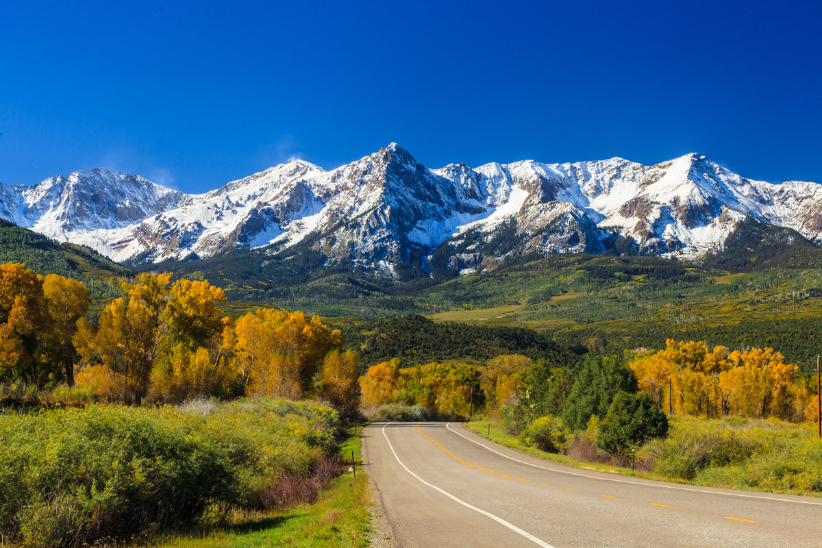
The Mummy Range is a rugged mountain range situated in the north central region of the US state of Colorado. These peaks mark a subrange of the larger Front Range. There are 31 named mountains in the range with Hagues Peak being the tallest and most prominent at 13,576 feet (4,138 m) tall with 2,434 feet (742 m) of prominence.
The Mummy Range is a north to south trending mountain range situated within the Rocky Mountains of northern Colorado. Peaks within the range mark a subrange of the larger Front Range.
The southern section of the range lies within Rocky Mountain National Park while the northern section is within Roosevelt National Forest and Comanche Peak Wilderness. Chapin Pass marks the southern terminus of the range while the Cache La Poudre River marks the northern terminus.
From north to south the range spans roughly 21 miles (34 km) while extending 19 miles (31 km) from east to west. In total, the range covers roughly 229 square miles (590 sq km), across north-central Colorado.
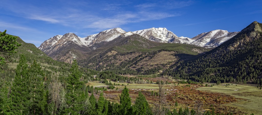
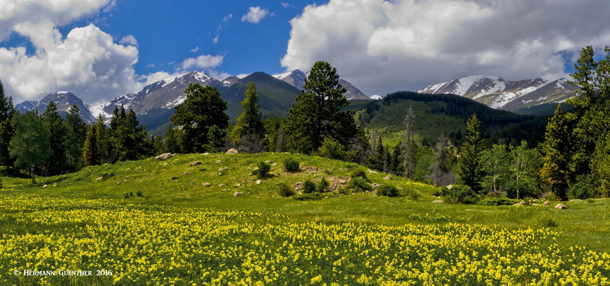
The entire range lies within Larimer County, just northwest of the town of Estes Park. Many peaks in the range reach above 13,000 feet (3,962 m). The tallest peaks in the range are situated in the southern section, within Rocky Mountain National Park.
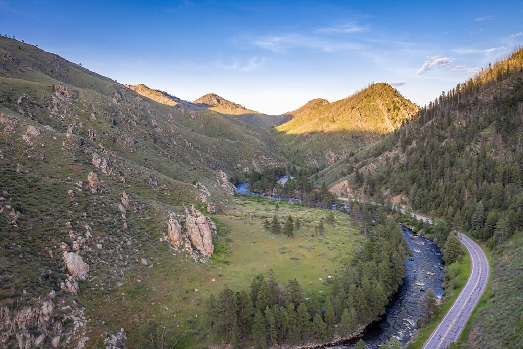
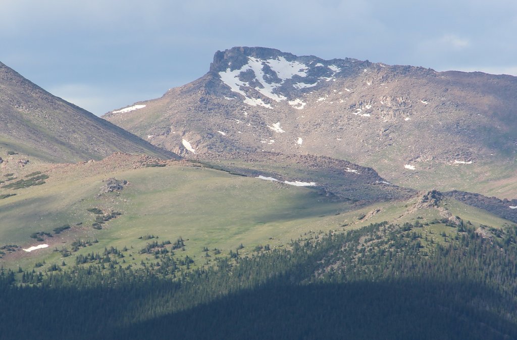
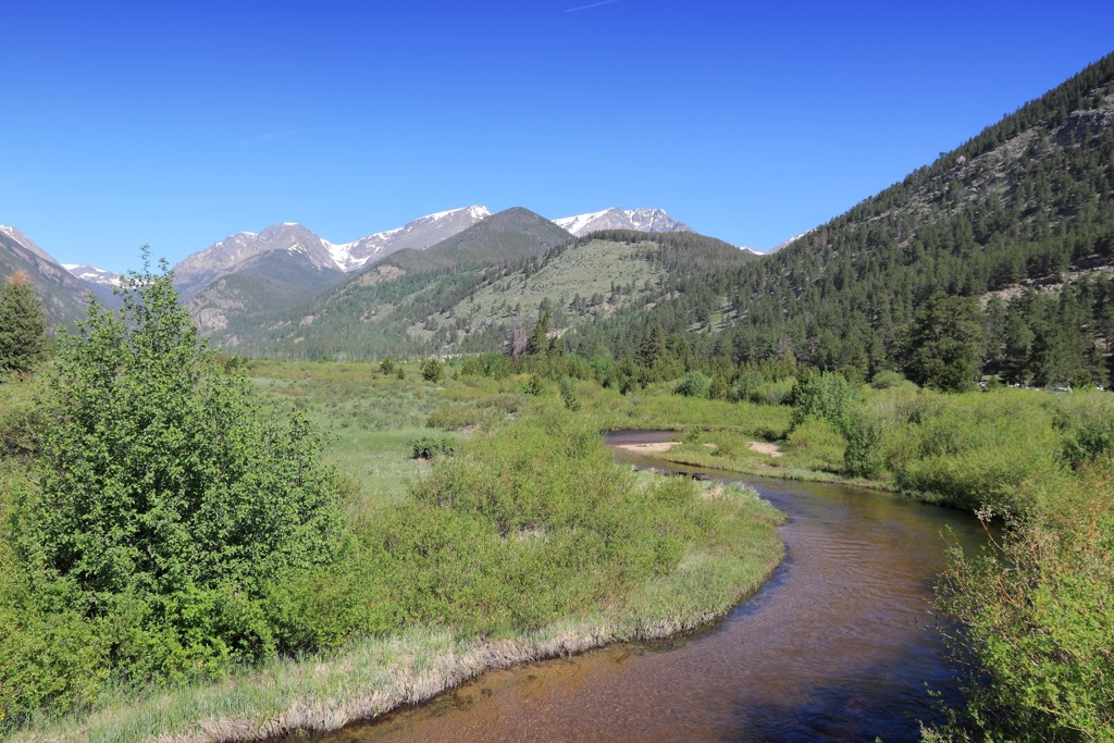
Elevations range from around 8,000 feet (2,438 m) in the foothills, up to the summit of Hagues Peak. The Cache La Poudre River runs along the western and northern edges of the range. Headwaters for the South Fork Cache La Poudre River are situated within the Mummy Range. There are numerous creeks, streams, and alpine lakes dotted throughout the range.
The Mummy Range lies within Rocky Mountain National Park and the Comanche Peak Wilderness. Other nearby areas for outdoor recreation include the Cache La Poudre Wilderness to the northeast along with vast sections of Roosevelt National Forest extending to the north and east. West of the range lies State Forest State Park and Routt National Forest.
The peaks within the Mummy Range are part of the Front Range, a subrange of the Southern Rocky Mountains. The Front Range spans across central Colorado and southeastern Wyoming.
Peaks in the Mummy Range, along with nearby ranges, began forming during the Laramide orogeny. This major mountain building period took place roughly 70 million years ago and lasted 30 million years.
From 40 million to 25 million years ago there was widespread volcanic activity in the region. Continued eruptions covered the landscape in a thick layer of volcanic ash. Continual folding and thrusting has shaped this ash into the rocks visible today.
Tectonic shifts have slowly thrust the range up to its current height, with the peaks still rising today. Millions of years of erosion have carved out the landscape, leaving behind the valleys and canyons that define the region.
Glaciers retreating over the past 2 million years, further carved out the landscape, leaving behind sweeping basins and glacial cirques as remnants of the once vast glaciers. The last glacier in the range is Rowe Glacier.
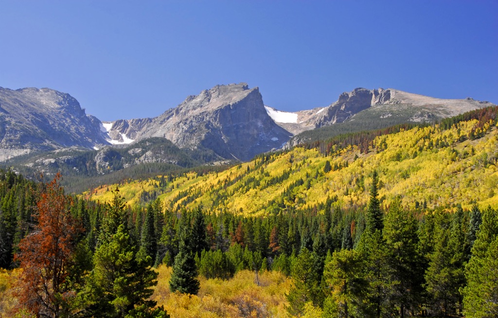
Major peaks located within the Mummy Range are Hagues Peak, Comanche Peak, Fairchild Mountain, Ypsilon Mountain, and Mummy Mountain.
Lower elevations in the range are populated by ponderosa pine, Douglas fir, and lodgepole pine. Amidst the forested landscape also lie western wall-flower, pasque flower, and Easter daisy.
At subalpine elevations, hikers are likely to spot Engelmann spruce, and subalpine fir. Sections that have been affected by fires have been repopulated with huckleberry and lodgepole pine.
The alpine terrain, above 11,500 feet (3,505 m), features extreme weather conditions making it difficult for much plant life to survive. Low growing and ground-hugging plants such as moss and lichen can be spotted amidst the rocky terrain.
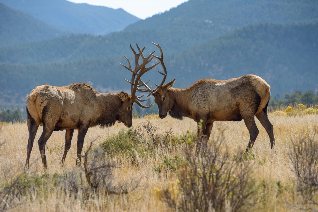
The surrounding network of protected land allows a wide variety of animal life to thrive in the Mummy Range. Common animals include elk, mule deer, moose, yellow-bellied marmot, Colorado chipmunk, beaver, coyote and black bear.
Some bird species that inhabit the region include the peregrine falcon, rufous hummingbird, broad tailed hummingbird, and mountain bluebird.
The land within and surrounding the Mummy Range has a long and rich human history that dates back thousands of years, long before the arrival of Europeans.
This section of land marks part of the ancestral homelands of Ute people and Cheyenee people, as well as the southeastern stretches of the traditional Eastern Shoshone territory. Both the Ute and Cheyenne peoples traditionally lived nomadic, migrating with the changing of the seasons
Today the Ute people have three recognized Tribes; Ute Indian Tribe, Southern Ute Indian Tribe, and the Ute Mountain Ute Tribe. Presently, the Cheyenne Tribe is managed by the Northern Cheyenne Tribe and the Cheyenee and Arapaho Tribe.
The Ute people formed pathways used for hunting, gathering, and migrating throughout the Rocky Mountains. Many of these routes were later used by Spanish explorers and American miners. Spanish explorers traveled throughout the region during the eighteenth century, most likely making contact with some of the Indigenous peoples of the region.
By the mid nineteenth century, populations began to steadily rise as Americans of European descent arrived. The Pikes Peak Gold Rush occurred during 1858, bringing more people to the region. Shortly after, in 1861, the gold rush died down and the Colorado Territory was established.
This increased population led to many disputes between the settlers and Indigenous peoples. Settlers, often backed by the US government, continually harassed, attacked, killed, and displaced the Indigenous peoples, ultimately forcing them onto reservations.
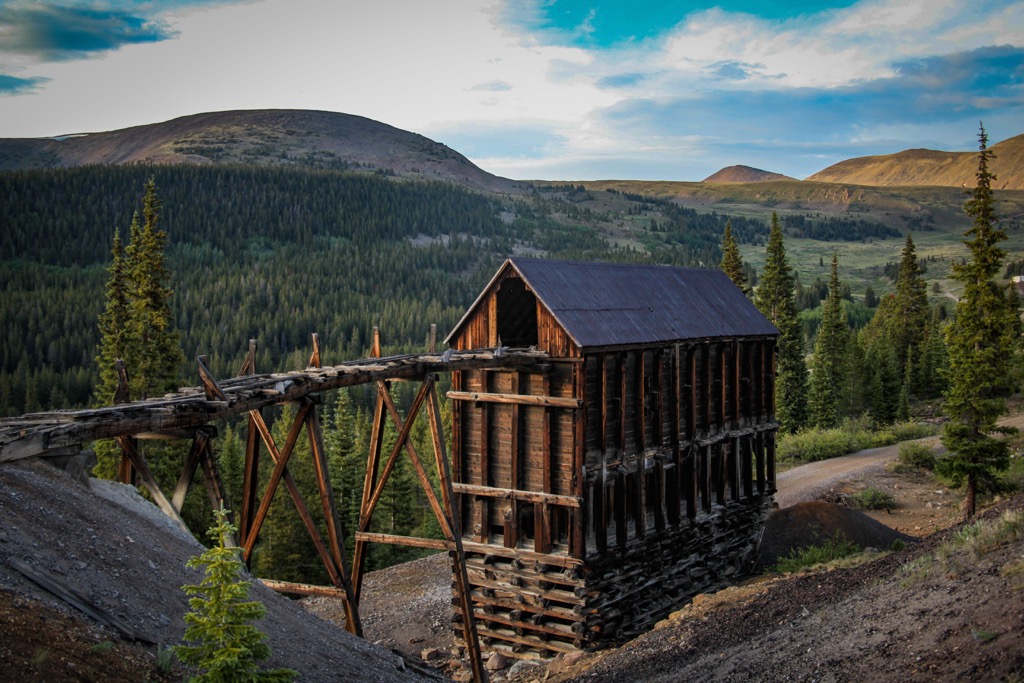
Mining settlements and towns continued to grow throughout the Rocky Mountains. While some of these towns were later abandoned, many transformed into small mountain towns now centered around outdoor recreation and tourism.
Rocky Mountain National Park was established in 1915, while the Comanche Peak Wilderness was created in 1980.
The Mummy Range features a plethora of hikes in both the national park and national forest sections of the range. Here are some of the best areas in the range to check out during your next visit:
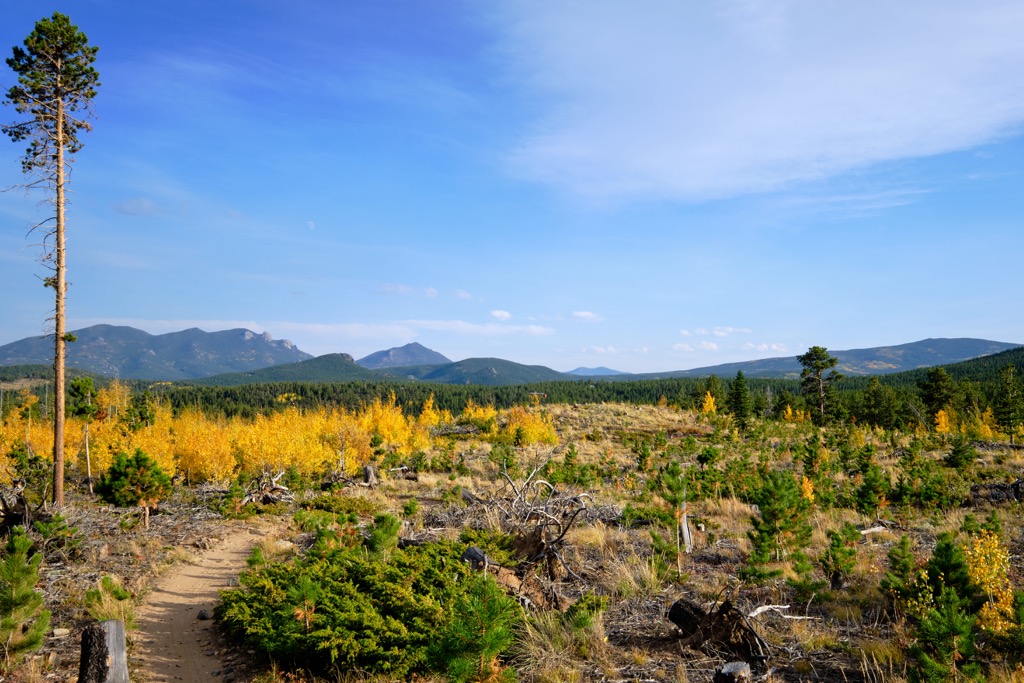
The northern section of the Mummy Range extends into the Comanche Peak Wilderness. Ponderosa pine and aspen trees quickly give way to the alpine terrain in the wilderness. Hikers can explore the 70 miles (113 km) of trails in the wilderness which are often less crowded than those in nearby Rocky Mountain National Park.
The southern section of the range extends into Rocky Mountain National Park. Many of the hiking routes within the Mummy Range begin just northwest of Estes Park. Here are a few of the most popular hikes in the region:
Looking for a place to stay near the Mummy Range? Here are some of the best cities and villages to check out in the region:
The town of Estes Park just southeast of the Mummy Range, situated in the heart of Rocky Mountain National Park. Though the town is home to just 6,000 residents, it comes alive during the summer months due to the influx of tourists.
Home to the headquarters of Rocky Mountain National Park, Estes Park lies along the Big Thompson River. During the summer months the town provides ample opportunities for hiking, backpacking, camping, biking, and rock climbing. During the winter the surrounding terrain can be used for backcountry skiing, snowshoeing, and even ice climbing.
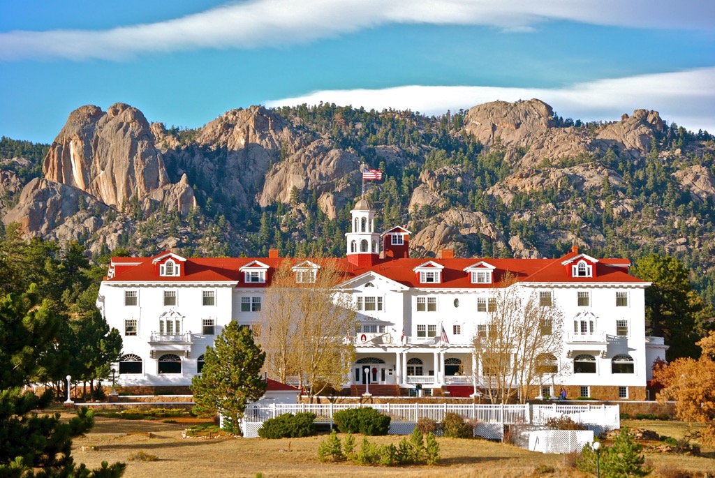
The downtown streets of Estes Park feature local shops, restaurants, breweries and distilleries. Some of the historic landmarks in the town are the Stanley Hotel and Baldpate Inn.
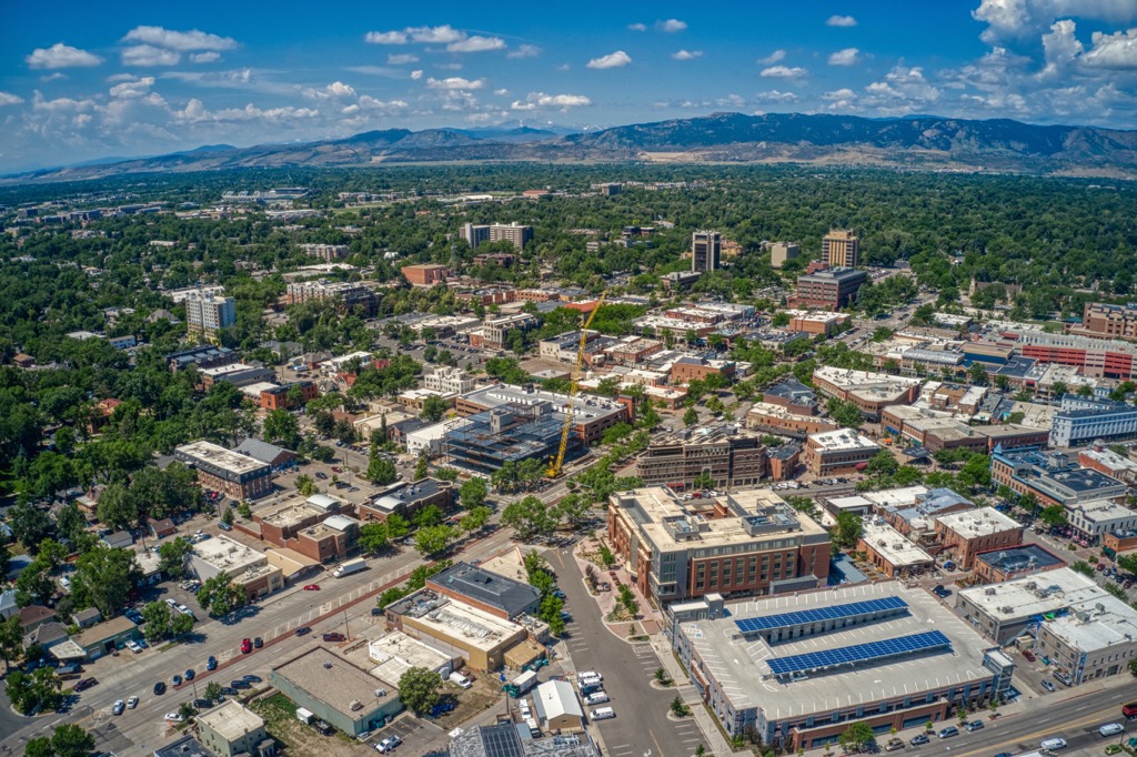
Fort Collins lies east of the Mummy Range, situated in the eastern foothills of the Rocky Mountains. Home to around 170,000 residents, it marks the fourth largest city in the state. The city is situated along the Cache La Poudre River and is home to Colorado State University.
Interstate 25 North runs through the city, with Fort Collins marking the last city before the road leads into the state of Wyoming. Fort Collins' close proximity to Rocky Mountain National Park and Roosevelt National Forest has allowed it to become a gateway into the Rocky Mountains of northern Colorado.
The city is home to over 20 breweries, making it one of the top craft-brewery hubs in the state. Fort Collins is home to a historic downtown with homes dating back to the 1800s.