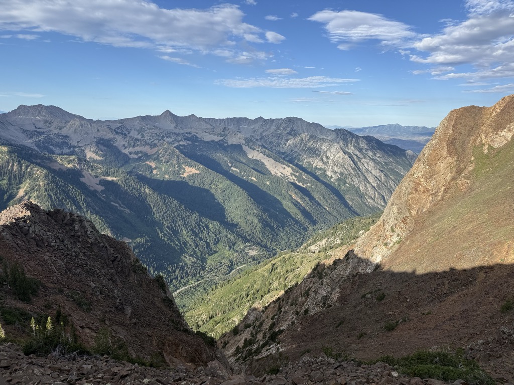
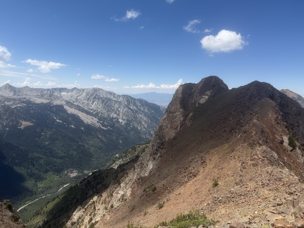
Mount Superior (also known as Superior Peak) is an 11,045 feet (3,367 m) mountain peak in the Uinta-Wasatch-Cache National Forest in Salt Lake County, Utah, United States.
With prominent visibility from Utah State Route 210 in Little Cottonwood Canyon, and being only 35 minutes from downtown Salt Lake City, it is a popular hiking, climbing, and skiing destination.
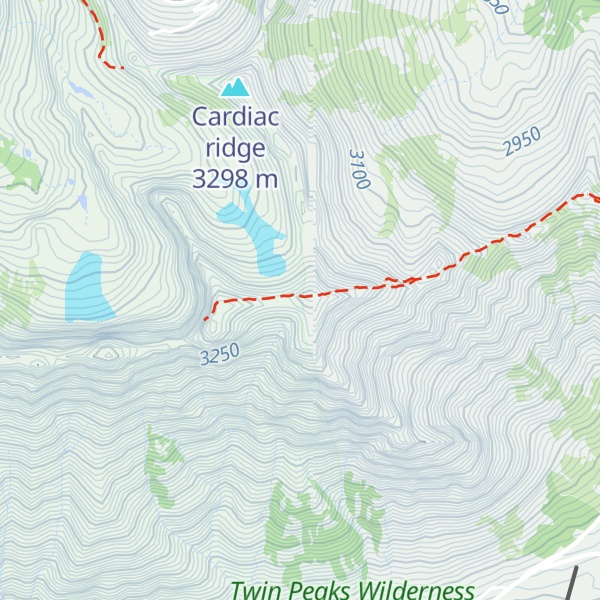
There's an alpine trail (T4) leading to the summit.
By elevation Mount Superior is
# 78 out of 1339 in the Western Rocky Mountains # 28 out of 614 in the Wasatch Range # 14 out of 111 in Salt Lake County # 55 out of 419 in Uinta-Wasatch-Cache National Forest # 5 out of 8 in Twin Peaks Wilderness
By prominence Mount Superior is
# 94 out of 111 in Salt Lake County # 7 out of 8 in Twin Peaks Wilderness
We use GPS information embedded into the photo when it is available.
3D mountains overlay
Adjust mountain panorama to perfectly match your photos because recorded by camera photo position might be imprecise.
Move tool
Rotate tool
Zoom
More customization
Choose which peak labels should make into the final photo and what photo title should be.
Next
Photo Location
Satellitte
Flat map
Relief map
Latitude
Longitude
Altitude
OR
Latitude
°'''
Longitude
°'''
Apply
Register Peak
Peak Name
Latitude
Longitude
Altitude
Register
Teleport
PeakVisor
This 3D model of Sagarmatha National Park in Nepal was made using the PeakVisor app topographic data. The mobile app features higher precision models worldwide, more topographic details, and works offline. Download PeakVisor maps today.
Download OBJ model
PeakVisor
The download should start shortly. If you find it useful please consider supporting the PeakVisor app.
PeakVisor for iOS and Android
Be a superhero of outdoor navigation with state-of-the-art 3D maps and mountain identification in the palm of your hand!