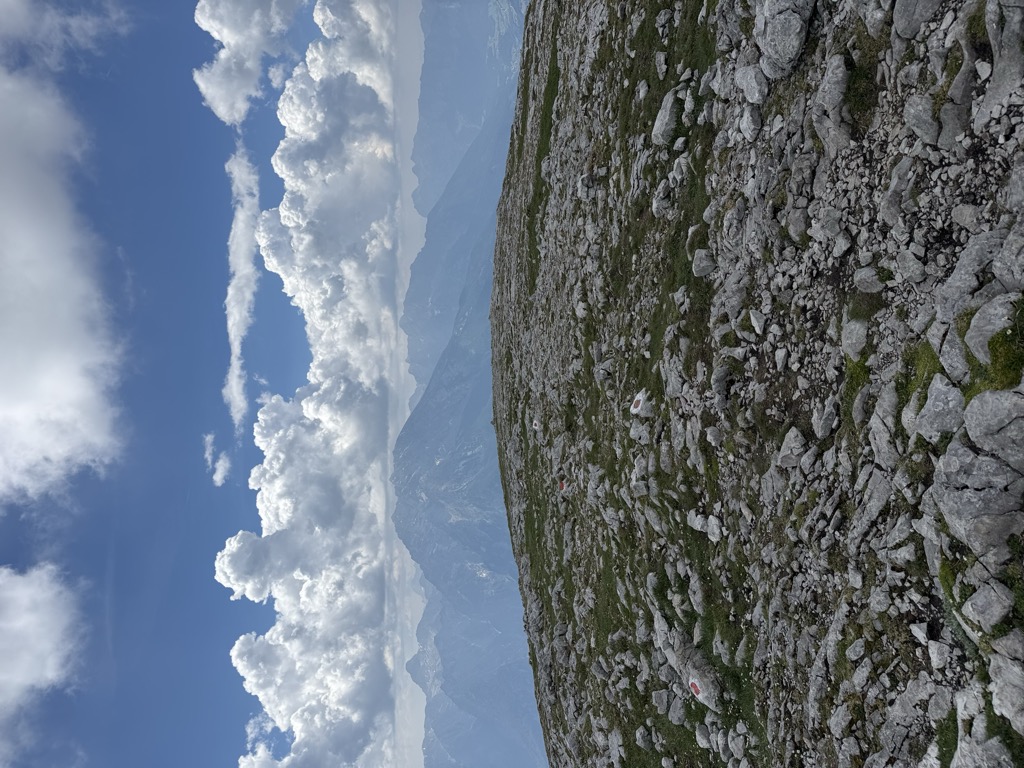
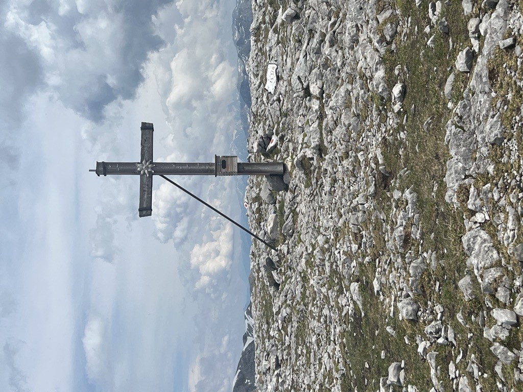
The Hohes Brett is a mountain, 2,340 m (7,680 ft) above sea level according to the German system or 2,338 m (7,671 ft) according to the Austrian system, in the Göll massif of the Berchtesgaden Alps. The border between Germany (Bavaria) and Austria (Salzburg) runs across its peak. Its name, meaning "High Plank" in German, refers to the flat, rocky plateau near the summit which offers panoramic views of the surrounding areas including the Watzmann's east face, the Hagen Mountains and the Steinernes Meer. For a mountain of its height it is easy to scale and thus sees a lot of visitors.
There's an alpine trail (T4) leading to the summit. Hohes Brett is one of the 142 peaks along the multi-day Ostalpen.
The nearest mountain hut is Carl-von-Stahl-Haus located 1 213m/3 979ft SW of the summit.
By elevation Hohes Brett is
# 34 out of 172 in Nationalpark Berchtesgaden # 34 out of 321 in Landkreis Berchtesgadener Land # 9 out of 314 in Hallein # 99 out of 590 in the Berchtesgaden Alps # 3 out of 47 in the Göllstock
By prominence Hohes Brett is
# 83 out of 172 in Nationalpark Berchtesgaden # 17 out of 47 in the Göllstock
We use GPS information embedded into the photo when it is available.
3D mountains overlay
Adjust mountain panorama to perfectly match your photos because recorded by camera photo position might be imprecise.
Move tool
Rotate tool
Zoom
More customization
Choose which peak labels should make into the final photo and what photo title should be.
Next
Photo Location
Satellitte
Flat map
Relief map
Latitude
Longitude
Altitude
OR
Latitude
°'''
Longitude
°'''
Apply
Register Peak
Peak Name
Latitude
Longitude
Altitude
Register
Teleport
PeakVisor
This 3D model of Sagarmatha National Park in Nepal was made using the PeakVisor app topographic data. The mobile app features higher precision models worldwide, more topographic details, and works offline. Download PeakVisor maps today.
Download OBJ model
PeakVisor
The download should start shortly. If you find it useful please consider supporting the PeakVisor app.
PeakVisor for iOS and Android
Be a superhero of outdoor navigation with state-of-the-art 3D maps and mountain identification in the palm of your hand!