Available for connected Garmin and Suunto accounts.
Scan the QR code and open PeakVisor on your phone
Ben Macdui map
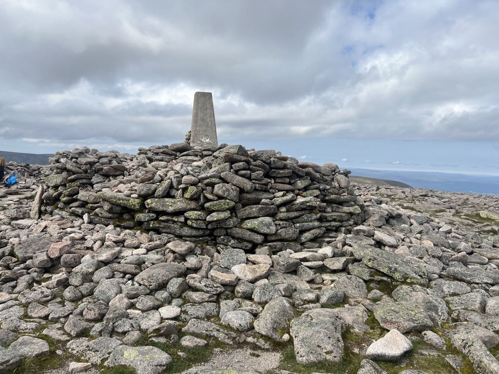
Ben Macdui
M
T
M
Add photo
1 311 m
Elevation
Elevation is the altitude of a place above sea level.
954 m
Prominence
Peak’s prominence is the least vertical to be covered to get from the summit to any other higher terrain.
Proportional Prominence1 298 m
TGO40
The Great Outdoors Britain's 40 Finest Mountains.
Munro
Mountains in Scotland with a height of over 914 m / 3 000 ft bear a special name, the Munros. They are named after Sir Hugh Munro, the 4th Baronet (1856–1919), who produced the first list of such hills, known as Munro’s Tables, in 1891.
Ben Macdui (Scottish Gaelic: Beinn MacDuibh, meaning "MacDuff's mountain") is the second-highest mountain in Scotland and all of the British Isles, after Ben Nevis, and the highest of the Cairngorm Mountains. The summit is 1,309 metres (4,295 ft) above sea level and it is classed as a Munro. Ben Macdui sits on the southwestern edge of the Cairngorm plateau, overlooking the Lairig Ghru pass to the west, and Loch Etchachan to the east. It lies on the boundary between the historic counties of Aberdeenshire and Banffshire.
Before the production of accurate maps of Scotland in the 19th century, it was not known for certain that Ben Nevis was the highest point in Britain, and it was often thought that Ben Macdui might be higher. Following surveys of both peaks in 1846–47, Ben Nevis was confirmed as the higher. The summit of the mountain has a direction indicator erected in 1925 by the Cairngorm Club of Aberdeen in memory of former president Alexander Copland. The indicator shows the directions of the most noteworthy mountains that can be seen from the summit in clear weather.
Snow patches have been known to persist at various locations on Ben Macdui, most notably Garbh Uisge Beag. The mountain is said to be haunted by the legendary Am Fear Liath Mòr (Big Grey Man).
There's a hiking trail (T2) leading to the summit.
By elevation Ben Macdui is
# 1 out of 428 in Moray # 1 out of 1430 in Aberdeenshire # 2 out of 18277 in Scotland # 2 out of 34760 in United Kingdom # 1 out of 39 in Abernethy National Nature Reserve # 1 out of 63 in Mar Lodge Estate National Nature Reserve # 1 out of 1071 in Cairngorms National Park # 2 out of 5485 in the Grampian Mountains
By prominence Ben Macdui is
# 1 out of 428 in Moray # 1 out of 1430 in Aberdeenshire # 7 out of 18277 in Scotland # 8 out of 34760 in United Kingdom # 1 out of 39 in Abernethy National Nature Reserve # 1 out of 63 in Mar Lodge Estate National Nature Reserve # 1 out of 1071 in Cairngorms National Park # 3 out of 5485 in the Grampian Mountains
We use GPS information embedded into the photo when it is available.
3D mountains overlay
Adjust mountain panorama to perfectly match your photos because recorded by camera photo position might be imprecise.
Move tool
Rotate tool
Zoom
More customization
Choose which peak labels should make into the final photo and what photo title should be.
Next
Photo Location
Satellitte
Flat map
Relief map
Latitude
Longitude
Altitude
OR
Latitude
°'''
Longitude
°'''
Apply
Register Peak
Peak Name
Latitude
Longitude
Altitude
Register
Teleport
PeakVisor
This 3D model of Sagarmatha National Park in Nepal was made using the PeakVisor app topographic data. The mobile app features higher precision models worldwide, more topographic details, and works offline. Download PeakVisor maps today.
Download OBJ model
PeakVisor
The download should start shortly. If you find it useful please consider supporting the PeakVisor app.
PeakVisor for iOS and Android
Be a superhero of outdoor navigation with state-of-the-art 3D maps and mountain identification in the palm of your hand!