Scan the QR code and open PeakVisor on your phone
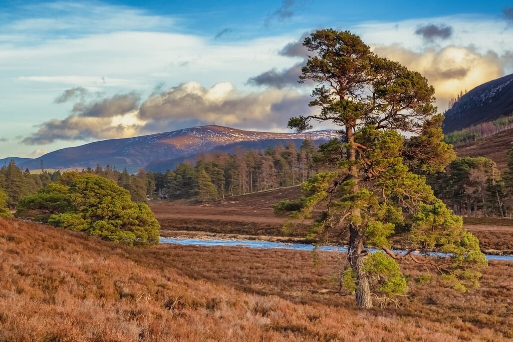
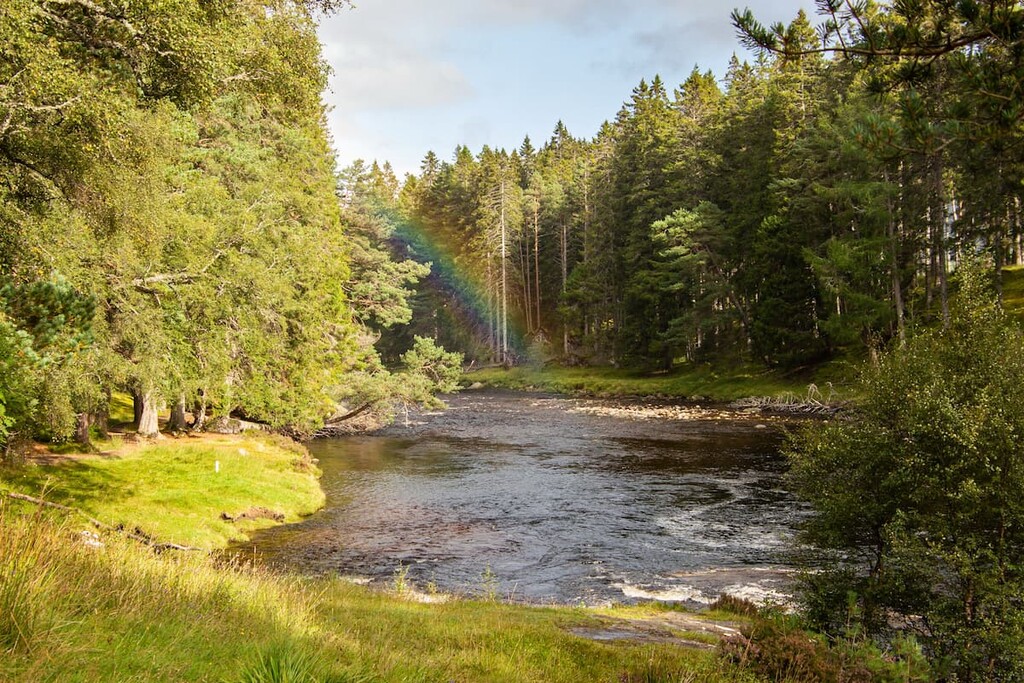
Home to 4 of the 5 tallest mountains in Britain, Mar Lodge Estate National Nature Reserve offers some of the best hiking opportunities in Scotland. Situated at the heart of Cairngorms National Park, Mar Lodge Estate National Nature Reserve is the largest nature reserve in Britain, covering approximately 113 square miles of stunning mountains, moorlands, forests, and lochs. It is regarded as one of the most important conservation areas in the UK due to the long-term deforestation of native Caledonian pinewoods and endangered local fauna, including pine martens, black grouse, and Scottish crossbills.
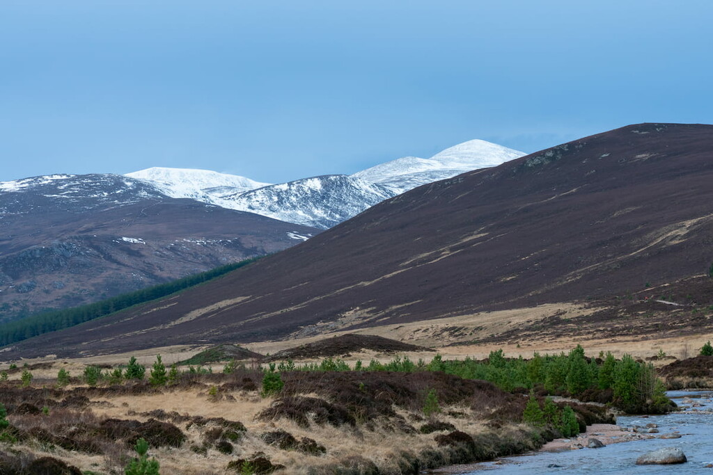
Mar Lodge Estate National Nature Reserve encompasses roughly 8% of Cairngorms National Park and 15 Munros. Apart from Ben Nevis (1,345 m), Mar Lodge boasts the highest summits on the British Isles, including Ben Macdui (1,309 m), Braeriach (1,296 m), Cairn Toul (1,291 m), and Sgor an Lochain Uaine (1,258 m). Other notable and popular peaks within the nature reserve include Derry Cairngorm (1,115 m), Beinn a' Chaorainn (1,082 m), and Sgòr Mòr (813 m).
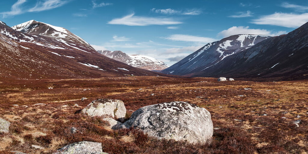
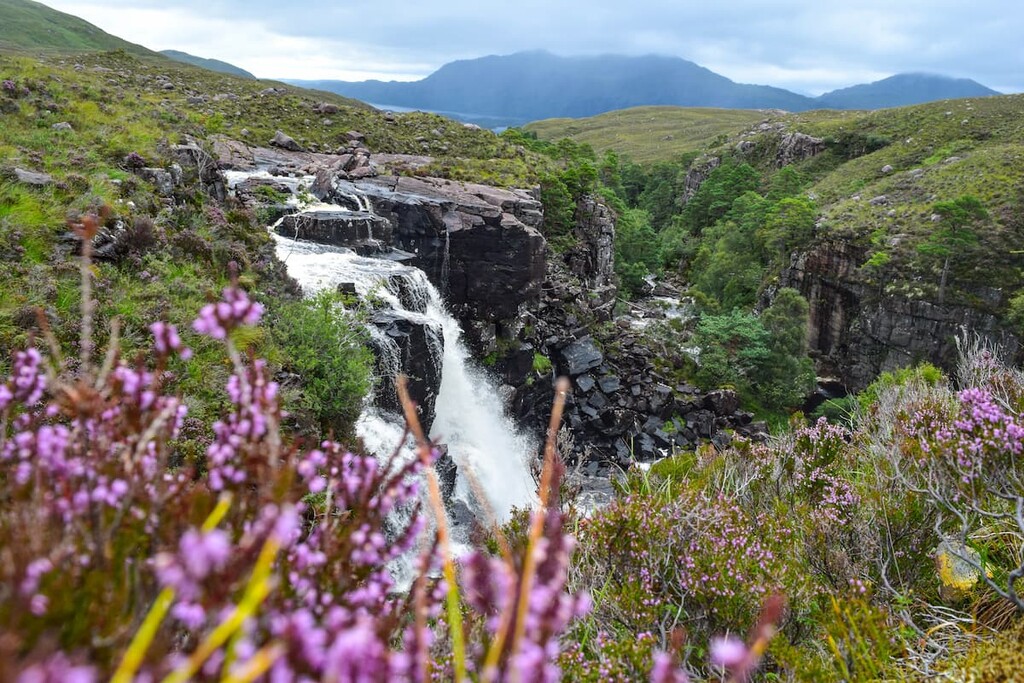
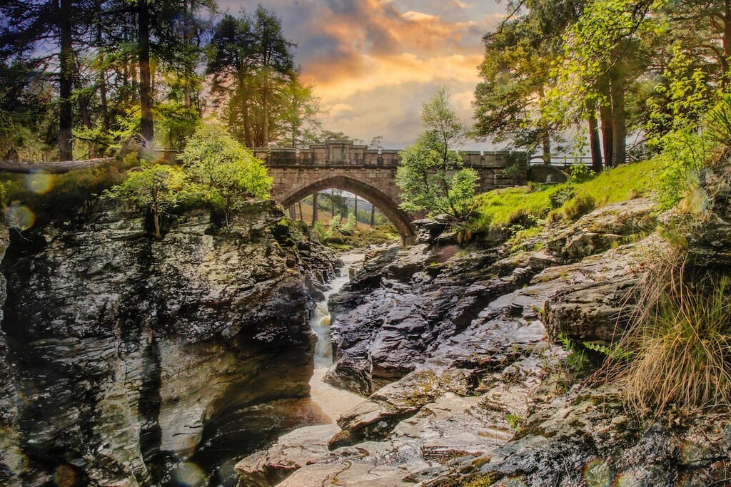
The landscape of Mar Lodge Estate National Nature Reserve, along with the rest of the Cairngorms range, was shaped over 400 million years ago, thousands of miles away in the Southern Hemisphere. As ancient continents were crushed together following the disappearance of the Iapetus Ocean, the landmasses overlapped, with some of the land pushed downwards to create large amounts of magma with a lower density than usual. The Cairngorms were formed when this less-dense magma rose to just beneath the surface and crystallized granite to form the Cairngorms. Other weaker rocks above the granite were worn away by erosion, leaving the mountains we see today. Lastly, the region's stark valleys and corries were formed during the last and current Ice Age.
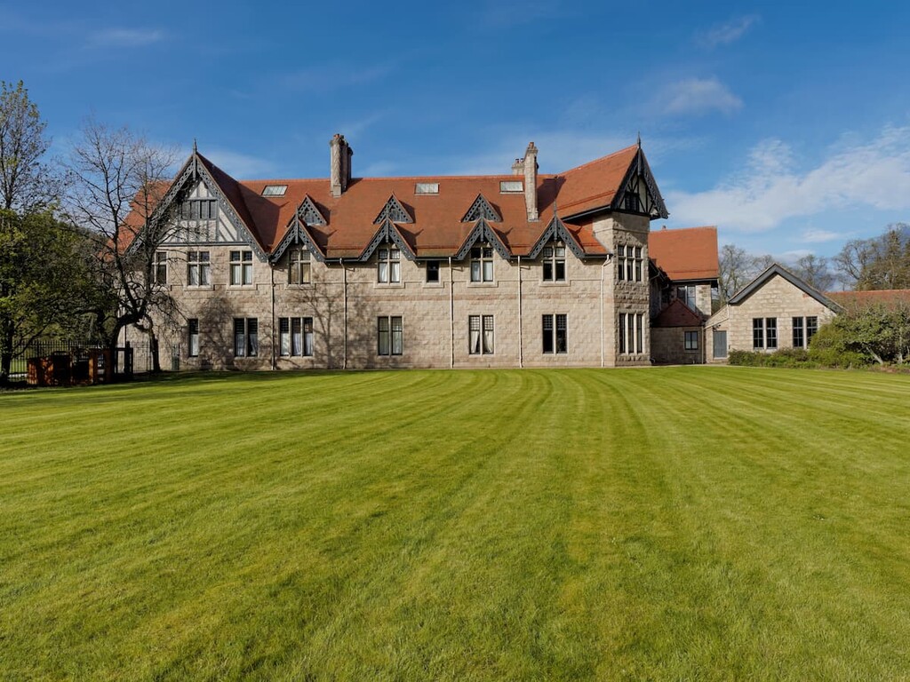
The reserve takes its name from the Mar Lodge is Braemar, a vast sporting lodge constructed by the Earl of Fife in 1895. However, the park's human history massively predates the 19th century. Traces of Mesolithic settlements and medieval townships can be seen across the landscape by anybody planning a hiking adventure in Mar Lodge Estate National Nature Reserve.
Looking to scale many of the highest mountains on the British Isles? Read on to find out about major hiking areas and where to stay during your visit to Mar Lodge Estate National Nature Reserve.
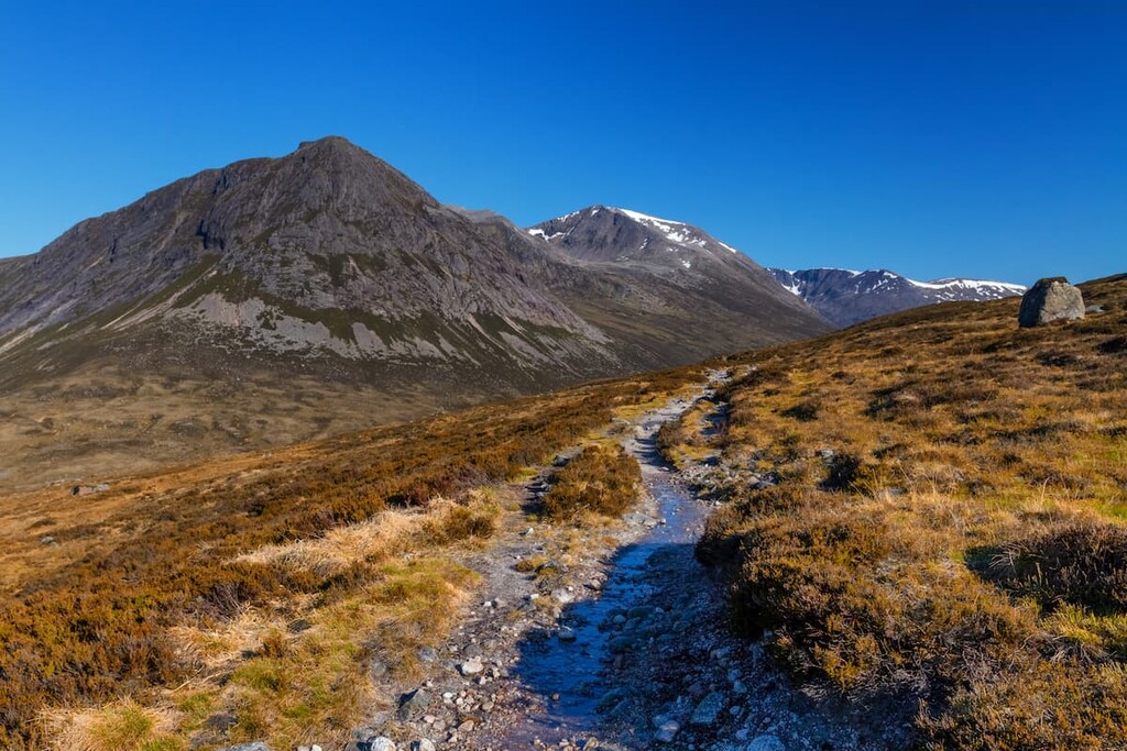
The second-highest mountain in Britain, Ben Macdui is a must for anyone serious about bagging the best Munros. Despite its popularity, climbing Ben Macdui is potentially dangerous, especially if you start from Speyside, which involves crossing the exposed Cairngorm plateau, which is tricky to navigate even in good weather. Regardless of your route, always come well-prepared, and map out your journey beforehand. The best way to scale Ben Macdui is from the Linn of Dee, which means you avoid the ski center and get to bag another popular Munro, Derry Cairngorm. The climb up Ben Macdui from the Linn of Dee is 18 miles, ascends 1,068 m, and takes around 10 hours.
Starting from the National Trust car park at the Linn of Dee, head north along the obvious footpath and turn left for Glen Lui. After passing Derry Lodge, cross the Derry Burn and turn left and continue through Glen Luibeg. At a fork in the road, keep right, heading for Sròn Riach (1,113 m). After about a mile in upper Glen Luibeg, cross the right fork of the burn. Be mindful at high water levels you may need to cross further along. Next, follow the path directly to the summit of Sròn Riach.
From Sròn Riach, continue along the cliff tops towards the cairn on Stob Coire Sputan Dearg (1,254 m), being mindful of the stark cliffs overlooking Lochan Uaine. Passing the cairn, head to the left across the plateau for the summit of Ben Macdui. The summit of Ben Macdui is marked with a large cairn and a view indicator. While atop Ben Macdui, keep an eye out for the Grey Man, a large apparition that reportedly haunts the summit.
To descend, head to the left for the historic Pony Track used by Queen Victoria coming up from Loch Etchachan. Head to the right of this path to reach the bealach (mountain pass) just beneath the minor peak, Creagan a' Choire Etchachan (1,106 m). Either scale the peak or head around it to the southwest to reach the bealach to Derry Cairngorm.
After crossing a boulder field, which is among the most difficult parts of this walk, you'll reach the summit of Derry Cairngorm at the far end. Despite being lower than Ben Macdui, Derry Cairngorm affords better, uninterrupted views with Ben Macdui towering overhead and great views north towards Beinn Mheadhoin (1,182 m). To descend, begin by heading southeast over the mountain pass to Carn Crom (871 m). From the summit, continue southeast down the path, which will take you back to Derry Lodge on the way to the Linn of Dee.
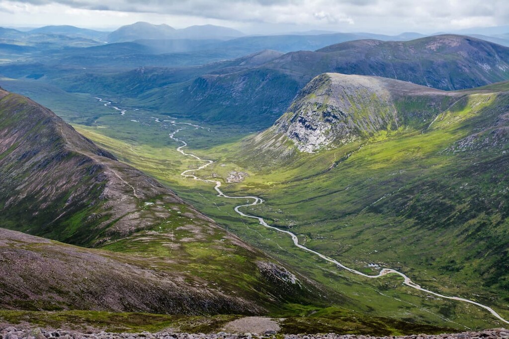
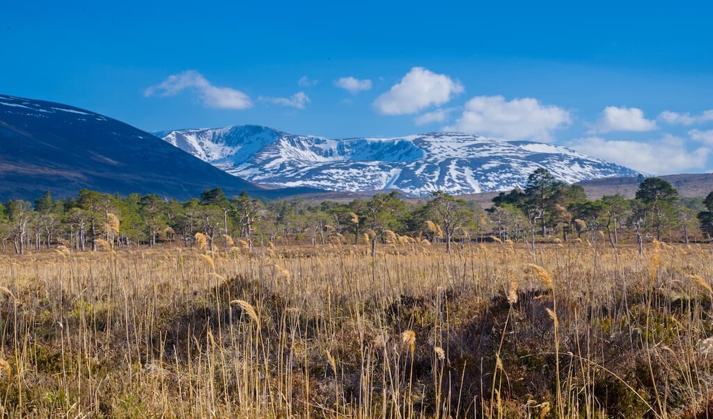
Braeriach is the third-highest mountain on the British Isles and is regarded as one of the finest long-distance walks in the Cairngorms. One of the most satisfying ways of scaling Braeriach is to bag two of the other highest peaks in Britain simultaneously, Cairn Toul and Sgor an Lochain Uaine. This trek is very strenuous and should only be attempted by experienced climbers due to its length and difficulty navigating several boulder fields and the plateau. Anybody attempting this walk should come well-prepared, map their route, and bring navigational equipment. The hike up Braeriach from Speyside is around 20 miles, ascends 1,820 m, and takes around 13 hours to complete.
The best place to start this walk is from the Sugar Bowl car park in Speyside. Cross the road and over the Allt Mor footbridge before bearing right uphill and then left onto the paved path towards Chalamain Gap. Take care when crossing through this notorious boulder field, as a wrong step could cause serious injury. The terrain becomes easier as you head into the famed Lairig Ghru pass to the south. When the path joins onto the trail from Rothiemurchus Forest, turn right and pass between Sron na Lairige to the right (1,184 m) and Lurcher's Crag (1,053 m) to the left.
The path soon disappears, and on a clear day, the summits of Cairn Toul and Devil's Point (1,006 m) come into view for the first time. Keep to the left of the stream here, onto the slopes of Ben Macdui. Continue south, passing the sublime An Garbh Choire corrie to the right. Follow the path for about half a mile before turning right to cross a bridge over the River Dee. Soon you'll come across the Corrour bothy, an open-shelter and the best place to spend the night if you're completing this trek over two days.
From Corrour bothy, you'll see the first stop, Devil's Point, just up ahead. To climb Devil's Point, follow the path by the Allt a 'Choire Odhair before heading along the trail that weaves up the mountainside. At the end of the path, you'll find a bealach. On the bealach, take a short detour to the left to reach the summit of Devil's Point. Retrace your steps back to the bealach and head northwest to the reach summit of Stob Coire an t-Saighdeir (1,213 m).
Continue around the edge of the corrie to make the steep climb to the peak of Cairn Toul, the fourth highest mountain in Britain. The views from this isolated mountain are superb, with Coire an Lochain overshadowed by the sublime Braeriach. Head west along the path for an easy ascent of Sgor an Lochain Uaine (1,258 m). From the summit, continue along the cliffs and over another bealach to reach Carn na Criche (1,266 m).
Here, the path will flatten out as you pass over the plateau, crossing a branch of the River Dee on your way up Braeriach. Due to bad weather and difficult navigation, ensure you keep well away from the crags. The summit of Braeriach affords some of the best views on this walk, with panoramas of Cairn Toul and Ben Macdui behind you and spectacular vistas of Speyside’s woodlands. To descend, head along the corrie, bear left at the bealach and reach the ridge of Sron na Lairige.
Continue along the ridge overlooking the stark Lairig Ghru before it descends to the north and rejoins the Lairig Ghru path. Cross a stream and follow the right hand branch of the path as you once again pass through the Chalamain Gap. After the boulder field, retrace your steps back to your starting point at the Sugar Bowl car park.
Hikers searching for the best ridge walk in the Cairngorms will find it at Càrn a' Mhàim (1,307 m). Dwarfed by its neighbor Ben Macdui, Càrn a' Mhàim features a long narrow ridge, an unusual feature in the Cairngorms range. The paths here are fairly good, making Càrn a' Mhàim one of the easiest of Mar Lodge's 15 Munros. Regardless, hikers should map a route and come prepared. The only notable route up Càrn a' Mhàim is on the there-and-back trail from the Linn of Dee. The walk is approximately 14 miles, ascends 648 m, and takes roughly 6 hours.
From the Linn of Dee car park, follow the path to the north before turning left up a track over Lui Water and through Glen Luinbeg. Continuing through pinewoods, you'll soon pass Derry Lodge. After the lodge, follow the path to the right over the Derry Burn. Upon exiting the forest, the path will fork again. Keep left before crossing at the ford in the Luibeg Burn. If the ford is too deep due to bad weather, continue upstream and cross at the bridge.
Soon the path improves and heads northwest directly for Càrn a' Mhàim. At the highest point of the Coire na Poite corrie, the path levels out and bears left onto the southern ridge of Càrn a' Mhàim. The first summit can be bypassed by keeping left before reaching the true peak to the northwest across a col. The views from atop Càrn a' Mhàim are stunning, with Derry Cairngorm to the northeast, Devil's Point to the west, and Cairn Toul to the northwest.
You can experience Càrn a' Mhàim's narrow ridge by extending your walk to the northwest. It's also possible to continue onto Ben Macdui along this ridge. To descend, retrace your steps back to the Linn of Dee.
Hikers looking for an easier walk that provides sweeping views of the Scottish Highlands will enjoy Sgòr Mòr. Perhaps the finest Corbett in Mar Lodge Estate National Nature Reserve, Sgòr Mòr's isolated location at the southern edge of the range makes it ideal for mountain views. While this hike is relatively straightforward, you'll have to pass through some boggy areas, so bring along some good hiking boots. Hiking Sgòr Mòr on the circular route from the Linn of Dee is 13 miles, ascends 544 m, and takes around 6 hours.
From the Linn of Dee car park, head back to the road and locate the way-marked paths for Blair Atholl and Kingussie. Follow this way-marked trail through some picturesque woodlands with the River Dee on your left. When you pass the plantation, turn down the faint path to your right before leaving the trail altogether and walking northwest through dense heather. At an electric fence, head left and then through a gate towards one of Sgòr Mòr's minor summits, Carn an 'lc Duibhe.
As you continue uphill, the heather becomes easier to traverse. You'll also have excellent views of Derry Cairngorm to the north and Beinn Bhrotain (1,157 m) to the west. Continue northwest to reach the summit of Sgòr Dubh (741 m), marked with a trig point and a cairn. The walk from Sgòr Dubh to Sgòr Mòr is a highlight — a straightforward ridge walk to the west with spectacular vistas of the southern Cairngorms. The summit of Sgòr Mòr is marked with a large cairn with excellent views down into Lairig Ghru.
The initial descent is very boggy into the bealach between Sgòr Mòr and Creagan nan Gabhar (722 m). Here, you'll join onto the path from Lairig Ghru and Glen Luibeg. More boggy misery awaits hikers as they walk along the Allt Preas nam Meirleach. At the lochan, skirt around the eastern edge before turning right when you reach the path. The trail passes through Glen Luibeg before crossing a ford in the River Derry. In bad weather, the water may be too deep to cross, so instead, continue left and cross at the footbridge before returning to the path on the opposite side of the river.
After about 2 miles of walking through peaceful woodlands, turn right and cross the bridge over the River Luibeg. After half a mile, you'll then find a good path to your right, which leads back to the Linn of Dee car park.
Sat overlooking the Firth of Tay, Dundee is one of the closest major cities to Mar Lodge Estate National Nature Reserve. A historic city, Dundee has some interesting local attractions like the 15th century Broughty Castle and The McManus Art Gallery & Museum. Dundee is just 60 miles south of Mar Lodge Estate National Nature Reserve, making the park easy to reach on a day trip. You'll find plenty of highly-respected hotels across Dundee, too, like Apex City Quay Hotel, Malmaison Dundee, and The Landmark Hotel.
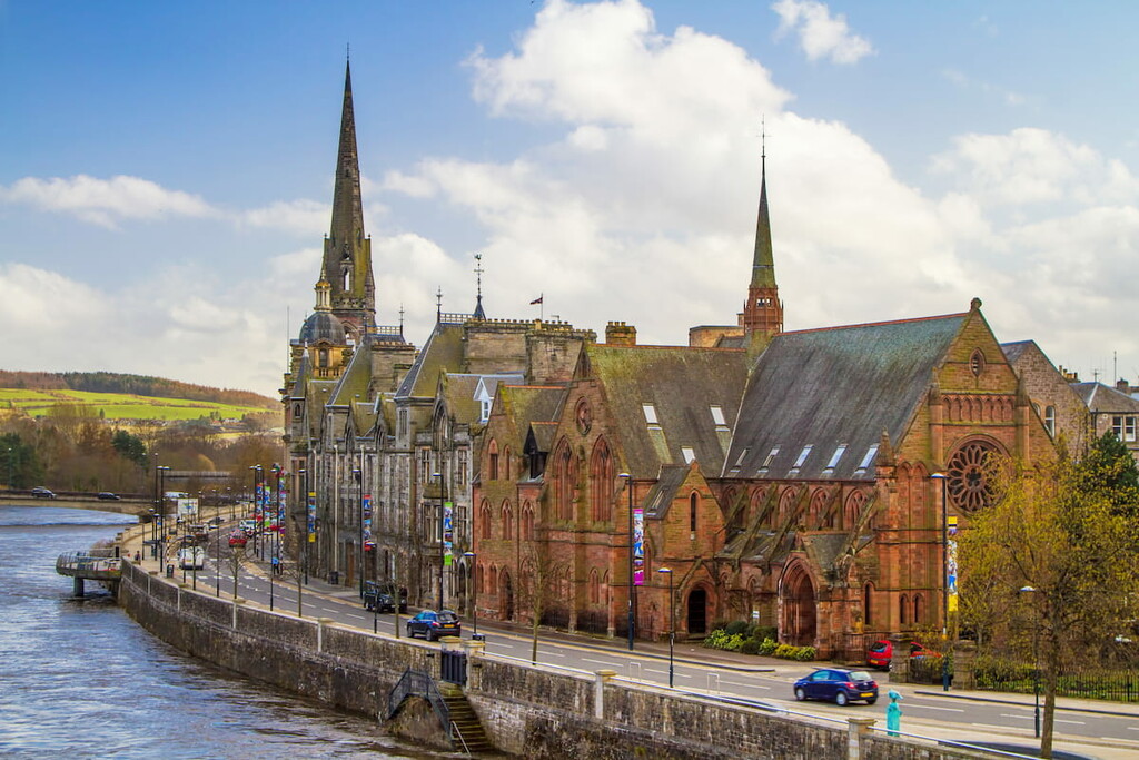
Located 20 miles from Dundee on the banks of the River Tay, Perth is another idyllic place for hikers to stay near Mar Lodge Estate National Nature Reserve. During your downtime, tour The Black Watch Castle and Museum and explore the medieval Huntingtower Castle. Perth is also only 55 miles from Mar Lodge, making it a great base from which to explore. If you're searching for a room in Perth, consider making a reservation at The Royal George Hotel, Mercure Perth, or Station Hotel.
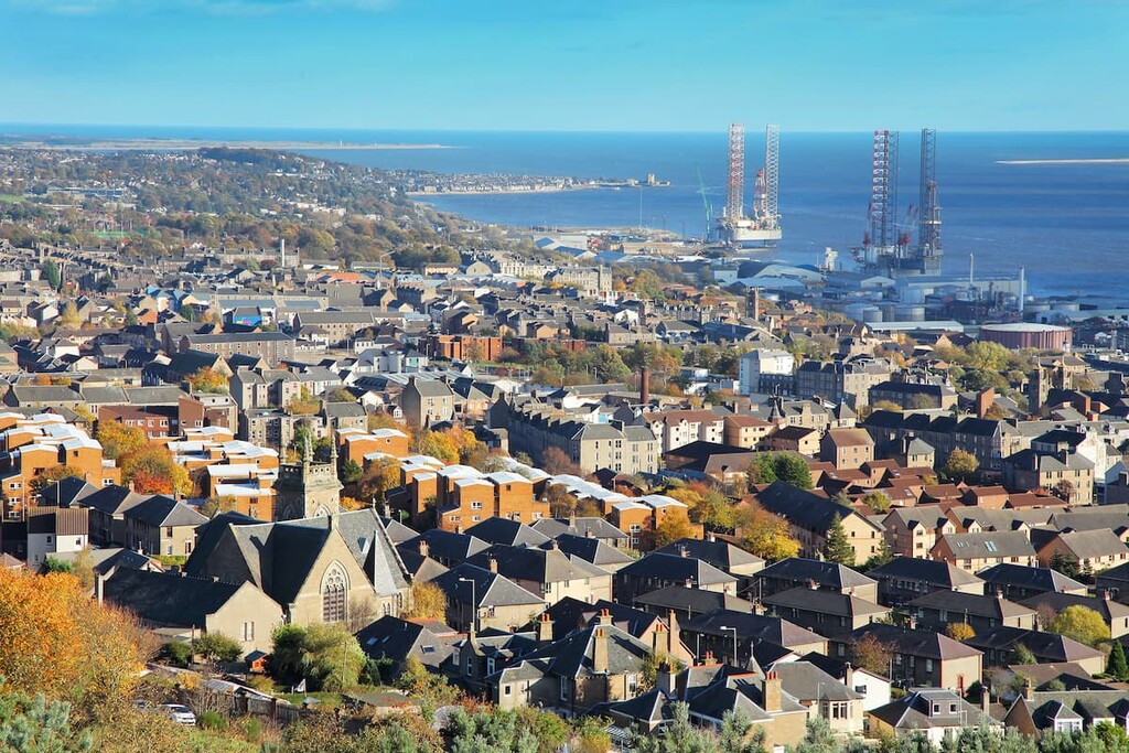
Scotland's third-city, Aberdeen, is ideal if you're looking to mix hiking and Scottish culture. Located where the River Dee runs into the North Sea, Aberdeen is just 60 miles west of Mar Lodge Estate National Nature Reserve. There are some fun, family-friendly attractions to enjoy in Aberdeen, like Codona's Amusement Park and Aberdeen Maritime Museum. There are also dozens of hotels to choose from in Aberdeen, from reasonable options like The Station Hotel to upscale offerings like the Sandman Signature Hotel and Spa.
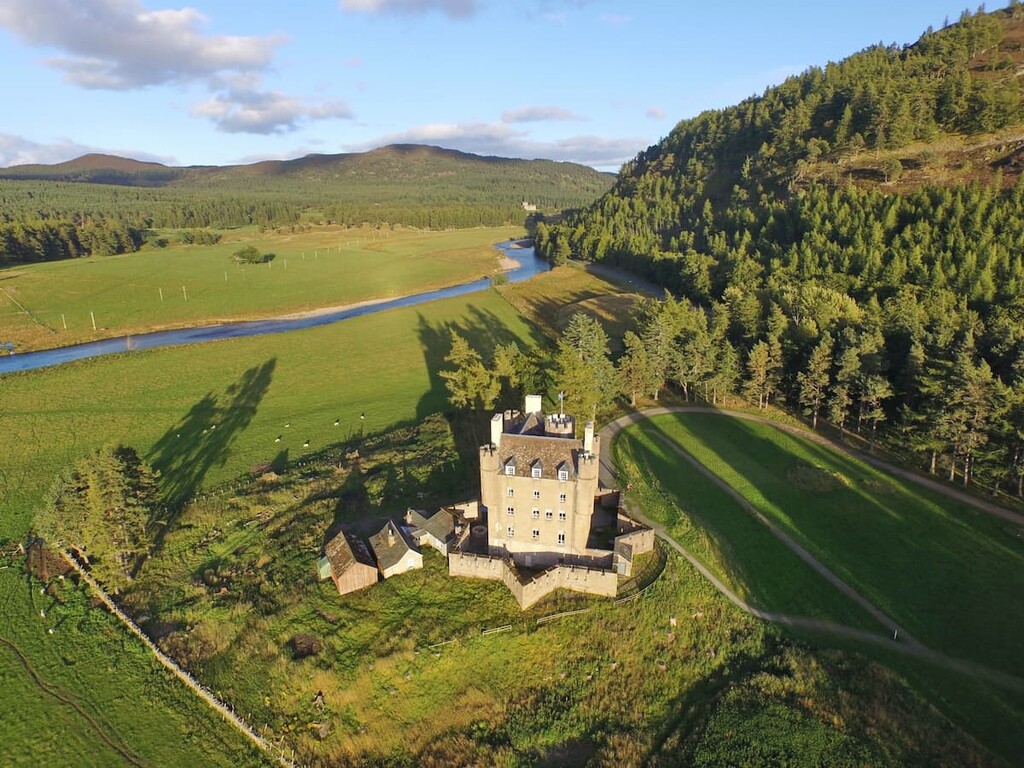
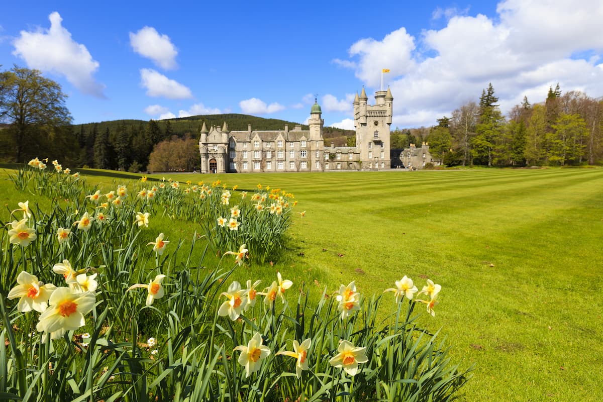
Looking to stay as close to Mar Lodge Estate National Nature Reserve as possible? Spend the night in Braemar. This sleepy village is the closest one to the nature reserve and is just 6 miles from the Linn of Dee car park. Braemar is also near some attractions worth visiting, like Braemar Castle and the Royal Balmoral Castle. Braemar's popularity with hikers means there are a few hotels in the village, like Braemar Lodge Hotel, The Fife Arms, and The Invercauld Arms Hotel.
Another small settlement worth staying in near Mar Lodge is Ballater. Just 23 miles from Mar Lodge on the western side of the Cairngorms, Ballater provides access to some great local hiking areas, with trails up Mount Keen (939 m), Cairngorms' most easterly Munro, and around Loch Kinord. Ballater is another popular spot for tourists, and there are several hotels across town, including The Deeside Inn, Alexandria Hotel, and The Auld Kirk Hotel.
Hikers looking for the ultimate Mar Lodge Estate National Nature Reserve experience should book accommodation at the historic Mar Lodge. Just 6 miles from Braemar, The National Trust for Scotland provides five sumptuous self-catering rooms for visitors looking to splash on their next Scottish getaway. Spend your days practicing your shooting, go trout fishing, or explore the beautiful mountain's encircling the estate.