Available for connected Garmin and Suunto accounts.
Scan the QR code and open PeakVisor on your phone
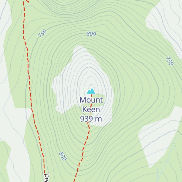
Mount Keen map
Mount Keen
M
Add photo
939 m
Elevation
Elevation is the altitude of a place above sea level.
308 m
Prominence
Peak’s prominence is the least vertical to be covered to get from the summit to any other higher terrain.
Proportional Prominence618 m
Munro
Mountains in Scotland with a height of over 914 m / 3 000 ft bear a special name, the Munros. They are named after Sir Hugh Munro, the 4th Baronet (1856–1919), who produced the first list of such hills, known as Munro’s Tables, in 1891.
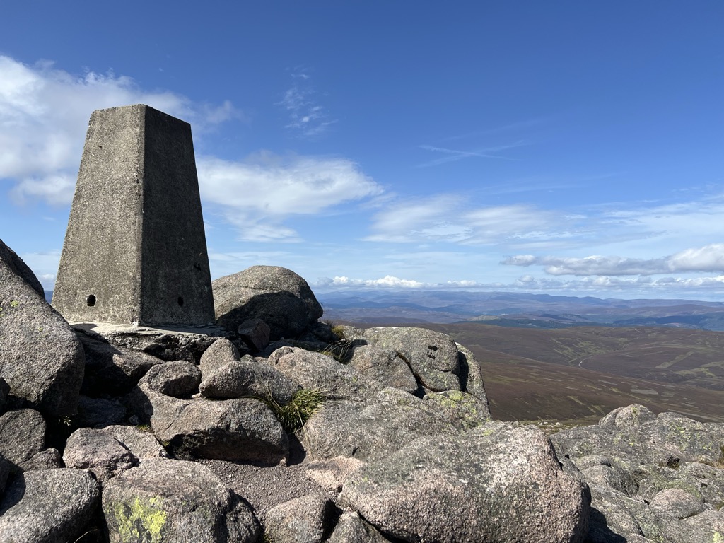
Mount Keen (Scottish Gaelic: Monadh Caoin) is a 939-metre-high (3,081 ft) mountain in Scotland and the most easterly Munro. It can be accessed from several directions, South from Glen Mark, North from Glen Tanar, and East to Braid Cairn. It is a moderate walk which is most popularly started by mountain bike, riding through the native Caledonian pine forest of Glen Tanar from Aboyne. On a good day, the Cairngorms, especially Lochnagar, can be seen. The summit is marked by a trig point.
There's a trail called The Ladder leading to the summit.
By elevation Mount Keen is
# 69 out of 1430 in Aberdeenshire # 13 out of 485 in Angus
By prominence Mount Keen is
# 11 out of 1430 in Aberdeenshire # 3 out of 485 in Angus # 23 out of 1071 in Cairngorms National Park
We use GPS information embedded into the photo when it is available.
3D mountains overlay
Adjust mountain panorama to perfectly match your photos because recorded by camera photo position might be imprecise.
Move tool
Rotate tool
Zoom
More customization
Choose which peak labels should make into the final photo and what photo title should be.
Next
Photo Location
Satellitte
Flat map
Relief map
Latitude
Longitude
Altitude
OR
Latitude
°'''
Longitude
°'''
Apply
Register Peak
Peak Name
Latitude
Longitude
Altitude
Register
Teleport
PeakVisor
This 3D model of Sagarmatha National Park in Nepal was made using the PeakVisor app topographic data. The mobile app features higher precision models worldwide, more topographic details, and works offline. Download PeakVisor maps today.
Download OBJ model
PeakVisor
The download should start shortly. If you find it useful please consider supporting the PeakVisor app.
PeakVisor for iOS and Android
Be a superhero of outdoor navigation with state-of-the-art 3D maps and mountain identification in the palm of your hand!