Get PeakVisor App
Sign In
Search by GPS coordinates
- Latitude
- ° ' ''
- Longitude
- ° ' ''
- Units of Length

Yes
Cancel
❤ Wishlist ×
Choose
Delete
The Ironton Unit of Wayne National Forest is an area of federally managed land located in the US state of Ohio. This forest marks the only national forest within the entire state. The tallest and most prominent peak in the Ironton Unit is Stewart Knob at 1,040 feet (317 m) tall with 325 feet (99 m) of prominence.

Wayne National Forest is located in the US state of Ohio. The forest is divided into three units across the southeastern portion of the state; Ironton Unit, Marietta Unit, and the Athens Unit.
The Ironton Unit is the southernmost unit in the forest, covering 107,090 acres (43,338 ha) across Lawrence, Gallia, Scioto, and Jackson counties. A majority of this unit lies within Lawrence county.
Terrain in the region was originally clear cut for lumbering, agricultural, and coal mining purposes during the 18th and 19th centuries. Today the protected region marks sections of land that are part of a reforestation program.
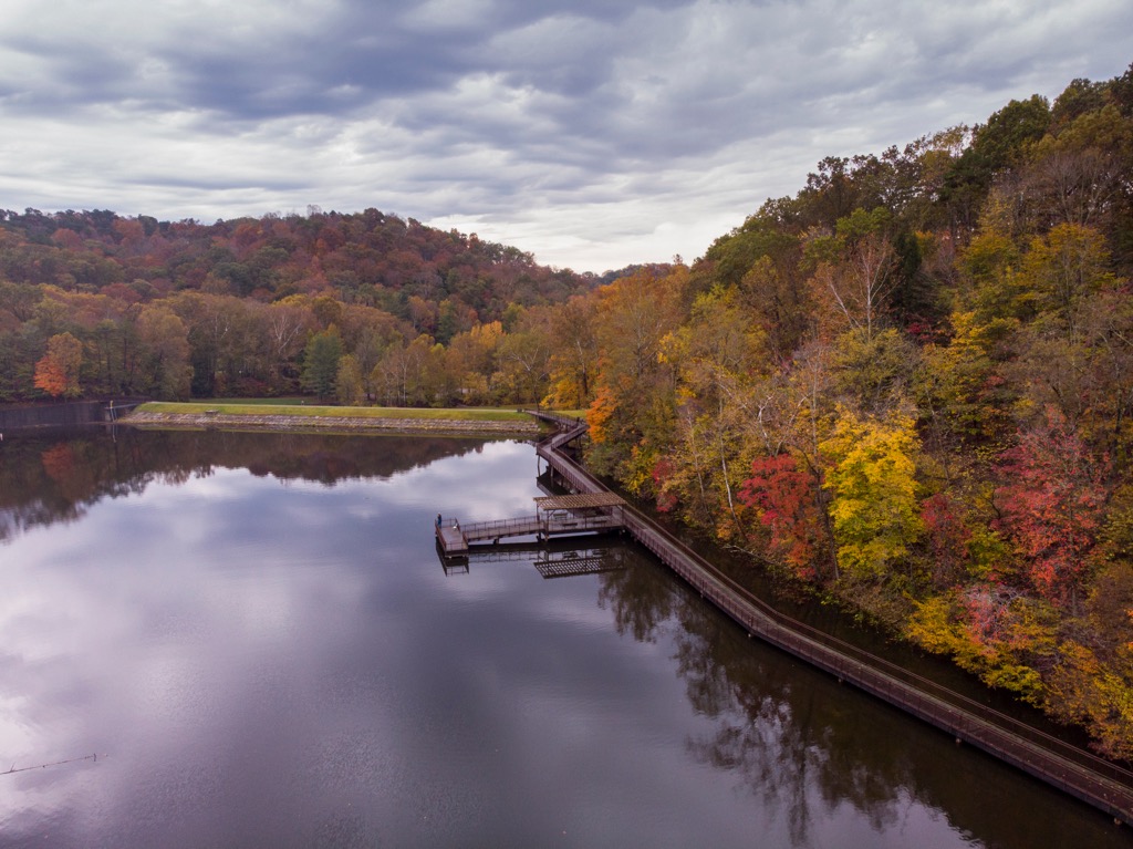
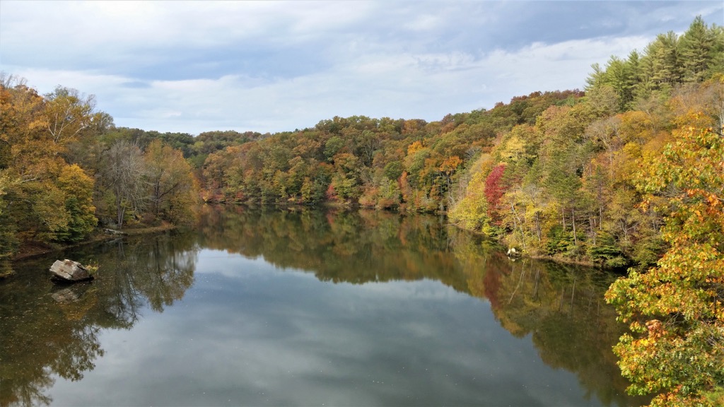
The Ohio River curves around the southern edge of the Ironton Unit before traveling in a northeast direction. The main feature of this unit is Lake Vesuvius which covers 143 acres (58 ha). This man made lake was created in 1939 and marks a major recreation region in the Ironton Unit.
Rolling forested hills are interspersed with rugged and small cliffs. The surrounding landscape is full of farmland and small communities. Various creeks and streams also run throughout the forested landscape.
While the Lake Vesuvius Recreation Area is the most popular spot in this portion of the national forest, there are a few other recreation areas that provide opportunities for outdoor activities; including Hanging Rock, Pine Creek, and Superior Trail.
Within the Hanging Rock portion of the forest lie over 50 small ponds which can be used for fishing purposes. Amidst the forest lie a few small waterfalls and a vast network of hiking, OHV, and horseback riding trails.
Additionally, the Ironton Unit of Wayne National Forest is surrounded by other popular outdoor recreation areas. This includes the Marietta Unit and Athens Unit of the forest which are located to the northeast. Shawnee State Forest is situated to the west while Pike State Forest lies to the northwest. The Beech Fork Lake Wildlife Management Area is located to the south within the US state of West Virginia.

All portions of the Wayne National Forest are located in the southern region of the US state of Ohio. Geologically this land is part of the Unglaciated Allegheny Plateau.
This major plateau region extends across portions of Ohio, West Virginia, Pennsylvania, and New York. The region gets its name due to the fact that it was not covered in glaciers during the last glacial maximum.
As part of the greater Appalachian region, present-day Ohio began forming more than one billion years ago, dating back to the Proterozic. As the Appalachian Mountains were being formed to the southeast, the plateau was slowly uplifted to its current height.
Lack of folding and thrusting contributed to the relatively flat terrain in the region. During the Mesozoic period, the region experienced further uplift and erosion from weathering. A vast network of streams once covered the region, depositing sediments throughout the surrounding area.
This portion of the Allegheny Plateau was not covered in glaciers during the last glacial maximum. Lack of glacial retreating left the landscape relatively flat as opposed to sweeping basins and dramatic changes in elevation.
Common rocks found in the dissected plateau include shale, sandstone, and coal. This region of land was previously used for coal-mining due to the high presence of coal in the region.
Major peaks found within the Ironton Unit of the forest include Stewart Knob, Cadot Hill, Miller Hill, and Hog Back Ridge.
Despite the widespread logging and mining that has taken place throughout the region, today a variety of both flora and fauna are able to inhabit the region.
Forested sections of terrain are primarily populated by a variety of hardwoods, along with both pine and cedar trees. Reforestation efforts are still underway, with proposed forested sections containing both oak and hickory trees.
Common wildlife includes coyotes, white-tailed deer, opossum, gray squirrel, woodchuck, and gray fox. Popular bird species include ruffed grouse, turkey, wood duck, and pileated woodpecker. The waterways are home to populations of beaver, osprey, heron, and river otters.
Lake Vesuvius, located near the center of the Ironton Unit, supports populations of spotted bass, largemouth bass, sunfish, and white crappie.

Humans have inhabited what is now known as southern Ohio for thousands of years, long befores the arrival of European colonizers. The surrounding region is part of the ancestral homelands of the Osage, Shawandasse Tula (Shawanwaki/ Shawnee), and Kaskaskia peoples.
Descendants of tribes in the region are now part of the Osage Nation, Eastern Shawnee Tribe of Oklahoma, Shawnee Tribe and Absentee Shawnee Tribe.
The Ohio River, which runs along the southern edge of the forest, held great importance for the Indigenous peoples of the region. The river not only acted as a source of food, but was also used for transportation and trading with other communities.
The first people of European descent to explore the Ohio River Valley arrived during the mid to late seventeenth century. These colonizers named the region Ohio Country. Over the following century, the French set up a network of trading posts to try and control and regulate the fur trading in the region.
Increased populations along the Atlantic coast of the present-day US led many tribes to leave their ancestral lands, relocating throughout Ohio. French military occupation began in the region in 1753.
In the decades following the American Revolutionary War, a large influx of colonizers arrived in the region. This increased population led to numerous disputes and battles between the colonizers and the Indigenous peoples.
Despite their ongoing efforts, the Indian Removal Act of 1830 forced the Indigenous peoples of the eastern US to travel also the Trail of Tears, to land west of the Mississippi River. Today, descendants of many of these tribes have reservations in present day Oklahoma.
Southern Ohio was used for agriculture and logging throughout the eighteenth and nineteenth centuries. Discovery of coal in the region led to widespread mining activities, which established the state as a major producer of steel.
Wayne National Forest was eventually established in 1992 as part of a reforestation program, in hopes of restoring the ecosystems of the region.
Wayne National Forest is home to numerous trails and outdoor recreation areas. A majority of the hikes in the Ironton Unit are centered around Lake Vesuvius. Here are some of the top hiking routes to visit in the forest:
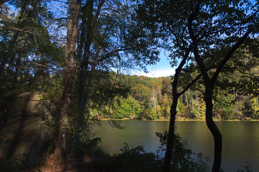
True to its name, this route follows along the shores of Lake Vesuvius, a popular man-made lake located near the center of the Ironton Unit. The trail winds gently through the forested landscape, with views of the lake throughout.
Numerous small climbs and descents take hikers past unique rock formations, creeks, bridges, and elevated boardwalks. The loop trail totals 7.6 miles (12.2 km) in length and features 531 feet (162 m) of elevation gain.
The Lake Vesuvius Backpack Trail marks one of the major backpacking routes in the national forest. The loop trail climbs through the forested hillsides that surround Lake Vesuvius. The trail passes many creeks and streams, while climbing small hills and ridgelines.
A majority of the viewpoints are located near Lake Vesuvius, with most of the route lying within the densely forested hillsides. The loop trail is 18.1 miles (29.1 km) long and features 2,119 feet (646 m) of elevation gain.
This short loop trail is located in the Hanging Rock region of the Ironton Unit. Numerous trails wind through the forested landscape, passing by the numerous lakes and ponds found in the surrounding region.
This loop trail passes by various ponds and features wildflowers during the warmer months. The well marked network of trails also provides hikers with the opportunity to extend the route. The loop is 2.7 miles (4.3 km) long and features 124 feet (38 m) of elevation gain.
Looking for a place to stay near the Ironton Unit of Wayne National Forest? Here are some of the best cities and villages to check out in the region:
The city of Huntington lies just south of the Ironton Unit, situated on the southern banks of the Ohio River. Located on the West Virginia side of the river, Huntington marks the largest city in the Tri-State Area.
Home to 46,000 residents, and a metro population of 360,000, Huntington is situated at the mouth of the Guyandotte River and boasts the second-busiest inland port in the country. Situated in the western foothills of the Appalachian Mountains, the city has an economy centered around coal, oil, and steel.
Within Huntington lies the Downtown Huntington National Historic District and Ritter Park Historic District. Other points of interest include the Huntington Museum of Art, Heritage Farm Museum and Village, as well as the Museum of Radio and Technology. Camden Park, which marks one of the oldest amusement parks in the world, is located near the city.
Columbus, Ohio lies just over a two hours drive north of the Ironton Unit. Home to 907,000 residents, Columbus marks the capital city and most populous city in the state of Ohio. Situated at the confluence of the Scioto River and Olentangy River, in recent decades the city has developed a thriving arts scene and expanding tech industry.
Numerous colleges and universities are located in the city, including Ohio State University which marks the one of the largest campuses in the country. Besides the plethora of restaurants, visitors can enjoy annual festivals such as the Ohio State Fair, Columbus Arts Festival, Park Street Festival, and Sonic Temple Art and Music Festival.
Major museums in the city include the Columbus Museum of Art, Ohio History Center, COSI, Franklin Park Conservatory, and the Kelton House Museum and Garden.

Explore Wayne National Forest - Ironton Unit with the PeakVisor 3D Map and identify its summits.


