Get PeakVisor App
Sign In
Search by GPS coordinates
- Latitude
- ° ' ''
- Longitude
- ° ' ''
- Units of Length

Yes
Cancel
❤ Wishlist ×
Choose
Delete
The Pharaoh Lake Wilderness is an outdoor recreation destination situated in the northern region of the state of New York in the US. The wilderness is located within the Adirondack Park, and it features a multitude of lakes, creeks, ponds, and streams. There are 50 named peaks in the wilderness, the highest and most prominent of which is Pharaoh Mountain (2,549 ft/777 m).
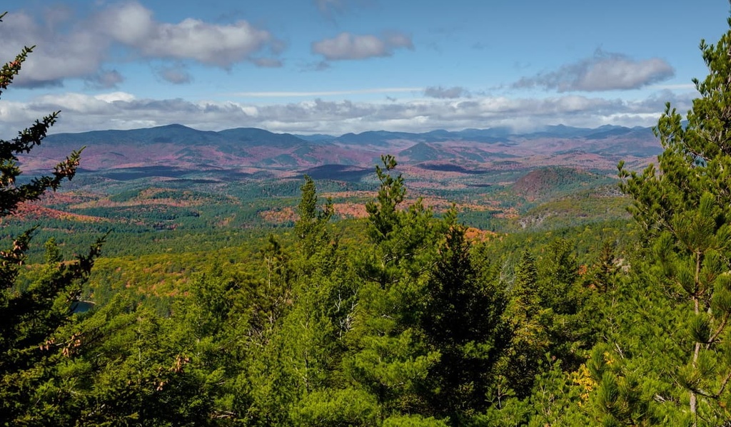
The Pharaoh Lake Wilderness is located in Upstate New York in the southeastern region of the Adirondack Park.
The wilderness encompasses 46,283 acres (18,730 ha) of land between Schroon Lake to the west and Lake George to the east. The forested landscape of the wilderness area is home to numerous lakes, the largest of which is its namesake, Pharaoh Lake.
The steep hills of the Pharaoh Lake Wilderness are densely forested and the terrain in the region is generally dominated by low-lying hills. In fact, Pharaoh Mountain is the only major prominent peak in the wilderness area. Within the wilderness’ boundaries, however, there are nearly 40 bodies of water that cover a combined area of 1,100 acres (445 ha).
The wilderness area covers land in both Warren County and Essex County near the towns of Hague and Ticonderoga. Graphite Mountain Road marks the southern boundary of the wilderness area while Fleming Pond Road denotes the wilderness’ northern boundary.
Numerous rivers, creeks, and streams run throughout the forested landscape of the Pharaoh Lake Wilderness. Besides Pharaoh Lake, other large bodies of water in the region include Crane Pond, Gooseneck Pond, and Whortleberry Pond.
Though much of the landscape of the Pharaoh Lake Wilderness is densely forested, major fires damaged much of the region at the beginning of the twentieth century. Evidence of these fires is still present today, though much of the current forest in the region has since regrown and consists of coniferous trees.
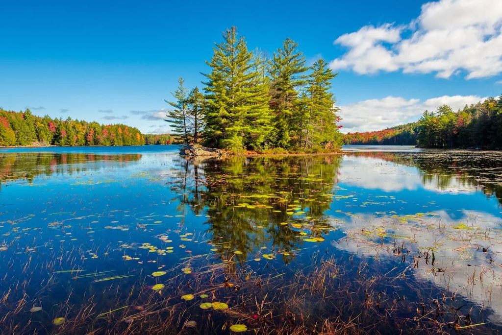
A majority of the hiking trails in the wilderness connect the region’s various lakes, ponds, and creeks. Hiking to the summit of Pharaoh Mountain often provides visitors with some of the best views in the entire wilderness. Nowadays, there are nearly 70 miles (113 km) of foot trails and dozens of primitive campsites in the Pharaoh Lake Wilderness for visitors to enjoy.
Additionally, the Pharaoh Lake Wilderness is located near numerous other parks and forests for outdoor recreation. The wilderness is situated within the Adirondack Park, and the Lake George Wild Forest lies directly to the south and east. The Vanderwhacker Mountain Wild Forest is also located to the west while the Hammond Pond Wild Forest is situated to the north.
The geological history of the Pharaoh Lake Wilderness is closely intertwined with that of Adirondack Park. The wilderness area is located along the east-central part of the boundary of the Adirondack Mountains, a massif that encompasses much of Upstate New York.
The Adirondack Mountains cover 5,000 sq. miles (13,000 sq. km) of land in northern New York. The peaks in the range form a circular dome and many of the highest peaks in the Adirondacks are tree-free. These ridges and peaks began forming around 2 billion years ago. During this time, the peaks in what is now the park were located at the bottom of the seafloor near the equator.
Tectonic shifting ultimately drove the peaks northwards where they were further uplifted during the Grenville orogeny, around 1.5 billion to 1 billion years ago. Immense amounts of heat and pressure from these tectonic events transformed the region’s sedimentary rocks into metamorphic rocks. As a result, the core of the Adirondack Mountains consists primarily of Proterozoic age minerals and lithologies while the outer layers are much younger.
The Adirondack Mountains are often geologically mistaken for being part of the nearby Appalachian Mountains. Though the Appalachian Mountains run along the east coast of the US and extend into the Canadian provinces of Newfoundland and Labrador, they are geologically separate from the Adirondack Mountains.
Present-day northern New York was also covered by a shallow sea around 600 million years ago. As the sea began to treat, the range was further uplifted around 10 million years ago by a hot spot.
In the millions of years that followed, repeated patterns of glacial and interglacial periods further carved out the landscape. Eventually, the Laurentide Ice Sheet came to cover much of the region, and it left behind the various ridges, valleys, and lakes that are visible to this day.
Major peaks located within the Pharaoh Lake Wilderness include Pharaoh Mountain, Park Mountain, Treadway Mountain, Number Eight Mountain, and Barton Mountain.
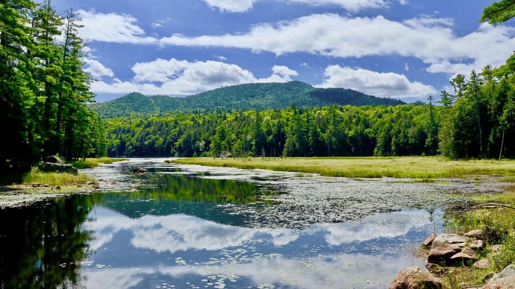
The Pharaoh Lake Wilderness lies in the same ecological region as the majority of the Adirondack Park. The park is one of the southernmost sections of the eastern forest-boreal transition ecoregion, which extends northward into Canada.
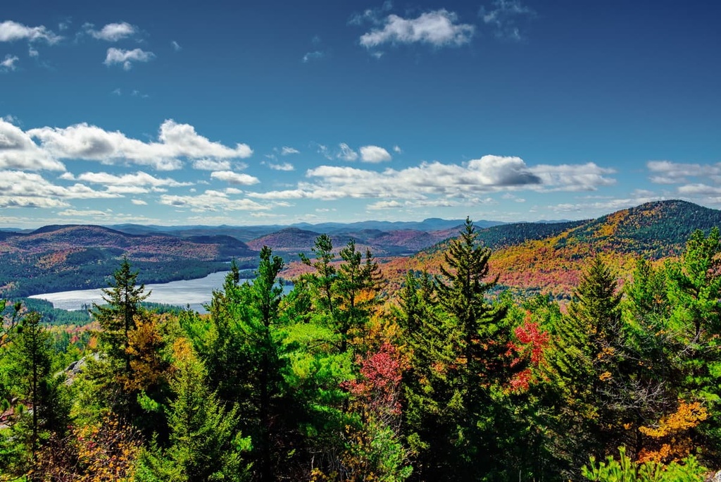
The wilderness primarily features rolling forested hills. Populations of spruce, pine, maple, birch, and beech trees are present throughout the region. The halting of lumber production in the region in the last half century or so has allowed the forest to slowly heal after widespread logging and fires at the beginning of the twentieth century.
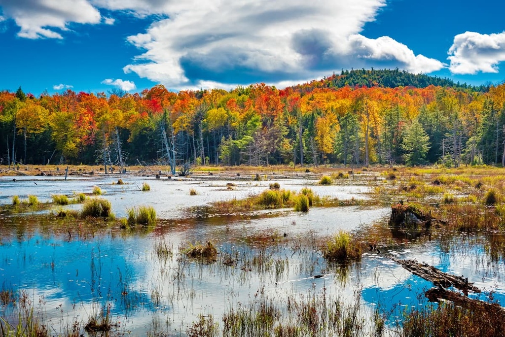
Besides rolling hills of forested terrain, the wilderness also features various lakes, wetlands, bogs, and swamps. Forests of red spruce, black spruce, and balsam fir are more common at the higher elevations.
The densely forested areas in the wilderness provide the ideal habitat for Canada jays, spruce grouse, black-backed woodpeckers, chickadees, and various other bird species. Larger mammals found throughout Adirondack Park include black bears, white-tailed deer, red foxes, gray foxes, porcupines, and bobcats. Beavers are also common sights near the streams and lakes of the wilderness.
The wetlands in the region provide a home for spotted salamanders, great blue herons, painted turtles, and bullfrogs. Fish species found throughout the park include rock bass, small mount bass, northern pike, brown trout, and walleye.
The land in and surrounding the Adirondack Mountains has been inhabited by humans for thousands of years. The earliest traces of human artifacts and settlements in the region date back to around 15,000 to 7,000 BCE.
The first groups of Iroquoian peoples to establish settlements in the region were likely the Mohawk (Kanienʼkehá꞉ka) and the Oneida (Onʌyoteˀa·ká). The land in and around the Pharaoh Lake Wilderness is part of traditional Iroquoian hunting grounds. Additionally, the Oneida and Mohawk people were two of the five Indigenous nations that founded the Haudenosaunee, which is also known as the Iroquois Confederacy.
The first recorded contact between the Haudenosaunee and European settlers occurred in 1609. Many skirmishes occurred in the following decades between the Haudenosaunee and European settlers as the Haudenosaunee fought to protect and preserve their ancestral lands.
The arrival of European diseases, such as smallpox and measles, in the seventeenth century drastically reduced the Haudenosaunee population. The Oneida attempted to remain neutral during the American Revolutionary War, yet they eventually joined the American troops by working as scouts near Fort Stanwix.
The Haudenosaunee nations, including the Oneida, signed the Treaty of Canandaigua at the end of the eighteenth century. This treaty with the US granted the Haudenosaunee nations approximately 6 million acres (2,428,100 ha) of land, primarily in the state of New York.
Despite the treaty, the US government drastically reduced the size of the land set aside for the Indigenous peoples of the region. This reduction in land size ultimately forced many of the Oneida to relocate, with many ending up in Wisconsin and parts of Canada.
Today, the Oneida are part of four nationally recognized nations, two in the US and two in Canada. This includes the Oneida Indian Nation in New York, the Oneida Nation of Wisconsin, Oneida at the Six Nations of the Grand River, and the Oneida Nation of the Thames.
The majority of Adirondack Park was heavily logged after the Civil War. In order to protect the landscape, much of the region was designated as a Forest Preserve in 1892. Over the next 100 years, parts of the park were further designated as wild forests and wilderness areas.
Today, the Pharaoh Lake Wilderness is home to nearly 70 miles (113 km) of hiking trails along with 38 designated primitive tent sites. It remains a popular recreation destination for outdoor enthusiasts in the southern part of the Adirondacks.
The Pharaoh Lake Wilderness is home to a number of wonderful trails for outdoor recreation. Here are a few of the best trails in the Pharaoh Lake Wilderness to check out during your next trip to the region.
The route up to the summit of Pharaoh Mountain is the most popular hike in the wilderness area. This trail takes hikers to the tallest peak in the wilderness, where you can take in views of the surrounding hillsides, ridges, and lakes.
The Pharaoh Mountain Trail climbs steadily from the trailhead before steepening just as you reach the summit. The summit viewpoint looks out over the southern Adirondacks and the region’s forested hillsides.
Hikers on this trail will pass by numerous lakes and ponds on their journey up to the summit. This trail is 11 miles (18 km) long round trip and it has 1,965 feet (599 m) of elevation gain.
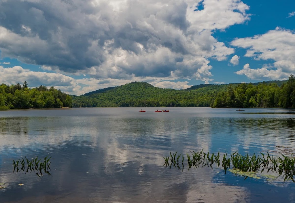
The Pharaoh Lake Trail is a moderately difficult route in the wilderness area that follows along the banks of Pharaoh Lake Brook. This trail passes through various marshes and creeks before reaching the western shores of Pharaoh Lake. The trail can also be used for snowshoeing during the winter months.
Hikers on this trail can turn around at the lake to create a 6-mile (9.7 km) long round trip journey with 426 feet (130 m) of elevation gain. Those wishing to extend the route can continue their walk and hike around Pharaoh Lake or trek to the summit of Pharaoh Mountain.
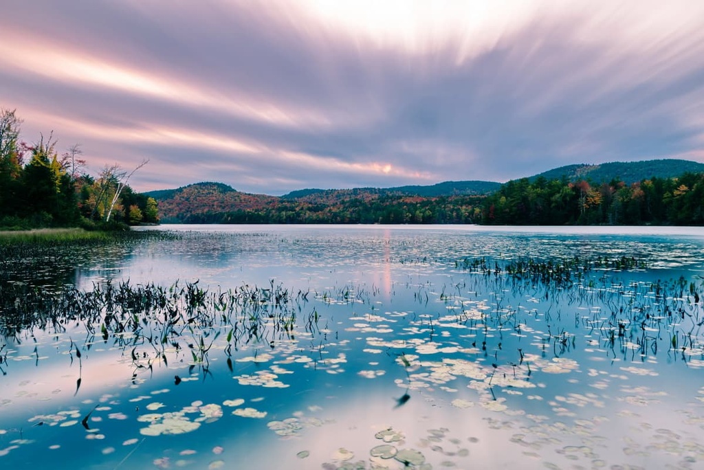
Beginning along the shores of Putnam Pond, the Treadway Mountain Trail showcases some of the most stunning landscapes in the wilderness. The trail passes by numerous ponds before climbing steeply up to the summit of Treadway Mountain.
From the top of the rocky bluff, hikers have views of the region’s rolling forested hillsides, the Adirondack Mountains, and the multitude of lakes down below. This route is 8.5 miles (13.7 km) long and it has 1,312 feet (400 ft) of elevation gain.
Looking for a place to stay near the Pharaoh Lake Wilderness? Here are some of the best cities and villages to check out in the region.
The town of Ticonderoga is nestled between Lake George and Lake Champlain along the eastern edge of the Pharaoh Lake Wilderness, and it is located entirely within the Adirondack Park. This quaint town is home to around 4,700 full-time residents and nearly 100,000 tourists flock to the community each year.
The town’s close proximity to Adirondack Park makes Ticonderoga an ideal vacation spot for anyone who enjoys hiking, swimming, paddleboarding, kayaking, and snowshoeing. Nearby hot springs offer an ideal way to relax in town after a long day of adventuring in the Adirondack Mountains, too.
![]()
Popular attractions around the town of Ticonderoga include Fort Ticonderoga, Mount Defiance, the Star Trek Original Series Set Tour, the Heritage Museum, and the La Chute River Trail.
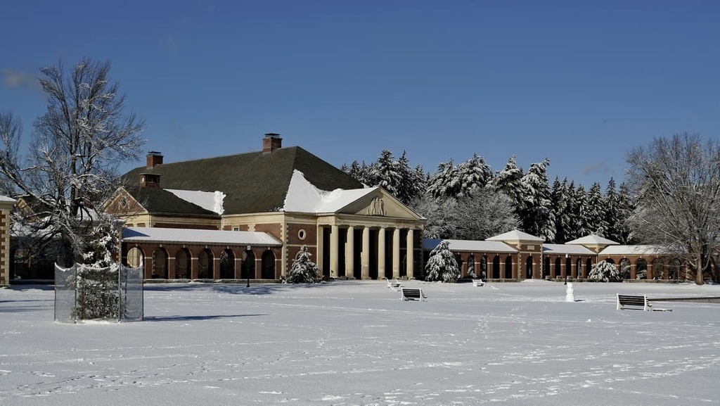
The city of Saratoga Springs lies an hour's drive to the south of Ticonderoga. Home to around 29,000 residents, the city is one of the most populous in the region. Known for its namesake mineral springs, Saratoga Springs is a popular tourist destination that offers year-round recreation and entertainment opportunities.
Notable sights in the city include the Saratoga Race Course, National Museum of Racing and Hall of Fame, Saratoga Springs History Museum, and Saratoga Arts Center.
The downtown streets of Saratoga are lined with local shops, cafes, and restaurants that showcase the culture of Upstate New York. In addition to its many hiking trails, the summer months at Saratoga Springs provide visitors with opportunities for biking and golfing as well as the chance to fish and paddle on nearby Great Sacandaga Lake or Lake George.
Explore Pharaoh Lake Wilderness with the PeakVisor 3D Map and identify its summits.


