
Scan the QR code and open PeakVisor on your phone
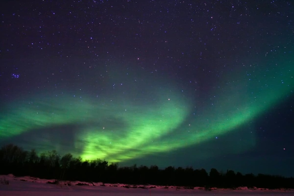
Kaldoaivi Wilderness Area is one of 12 wilderness areas in Lapland, Finland. It is the largest and the northernmost of all the country's protected areas as to the north, you’ll find only a small sliver of land in Norway and the Arctic Ocean. The wilderness area is also home to the Välimaa Sámi Farm, which is one of the oldest such areas in Finland. There are 38 named mountains in the wilderness area, the highest and most prominent of which is Alla Gálddoaivi (450 m / 1,476 ft).
The name of the Kaldoaivi Wilderness Area (Kaldoaivin erämaa-alue) comes from the name of one of its peaks, Kaldoaivi. This name is a transliteration of the North Sámi name of Mount Gálddoaivi, the highest peak in the wilderness area.
It is not clear exactly what the word Gálddoaivi means. But according to one theory, Gáldd comes from the word gáldu or gáldet, which means ‘fountain.’ The meaning of oaivi, which can often be found in the names of the local mountains, is clear: it means the ‘head,’ and it is a reference to the rounded shape of many of the mountains in Lapland.
The Kaldoaivi Wilderness Area is located in northern Finland in the Lapland region. It is the largest (2,924 sq. km / 1,129 sq. mi) and the most northerly of all the country’s natural areas, including its 40 national parks and many nature reserves.
It’s worth pointing out that the Kaldoaivi Wilderness Area is very large—and we mean really, really large. If you combine the five smallest countries in Europe (Monaco, San Marino, Liechtenstein, Malta, and Andorra) they are only one-third the size of the Kaldoaivi wilderness area. In fact, the wilderness is larger than the entire country of Luxembourg!
Administratively, the wilderness area is part of two Lapland municipalities: Utsjoki and Inari, the latter of which is the capital of the Sámi people.
To the west of Kaldoaivi, there is the slightly smaller Paistunturi Wilderness Area and the Kevo Strict Nature Reserve. These two areas are separated by the E75 highway, which runs through the country from Helsinki to Norway via Lahti, Jyväskylä, Oulu, and Rovaniemi. To the east of Kaldoaivi is also the border with Norway and to the south are Inari Lake and the Vätsäri Wilderness Area.
You can get to the Kaldoaivi Wilderness Area directly from Helsinki on the E75 highway. The distance to Sevettijärvi, a small village that serves as the starting point for the marked trails in the southern part of the wilderness area, is 1,264 km (785 mi) or 15 hours by car.
You can also reach the wilderness from Norway via Pulmankijärvi Lake or the villages of Jääräjoki and Arola to the north. If you’re coming from the east, you can get to the wilderness via Enare Näätämö.
If you want to travel by public transport, you can also fly to either the Rovaniemi or Ivalo airports. The Ivalo Airport is smaller, but it is located closer to the wilderness area. From there, you can take shuttle buses to Kaldoaivi.
Geologically, the Kaldoaivi Wilderness Area features the same types of rocks that are found elsewhere in Lapland.
This region consists mostly of various kinds of granites, gneisses, shales, and quartzites, which are among the oldest rocks in Europe. They are primarily Archean (4,000 to 2,500 million years ago) and Proterozoic (2500 to 541 million years ago) in age.
The mountains in this part of Finland in particular belong to the Kola Domain geological stratum or event, which in turn includes the Lapland Granulite Belt and Inari Complex. This area shows considerable similarity to the geology of northeastern Norway and the neighboring Kola Peninsula in Russia.
The Kola Domain is one of five such domains that occur in Finland, along with the Scandinavian Caledonides, Karelian Domain (also known as the Karelides mountains), Svecofennian orogen, and Jotnian sediments.
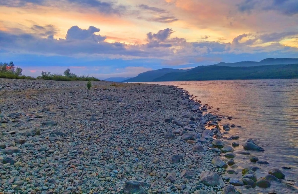
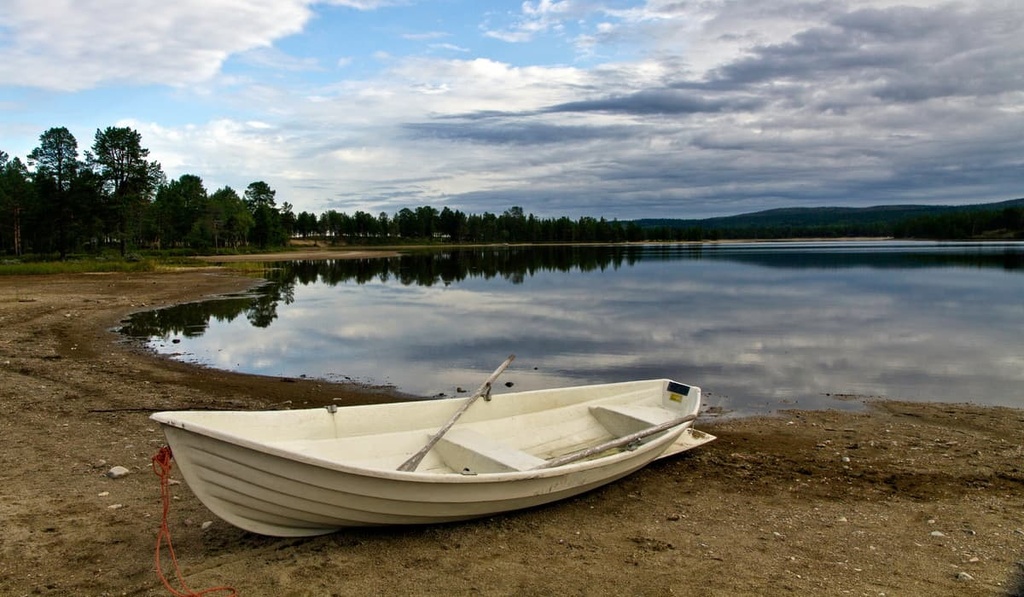
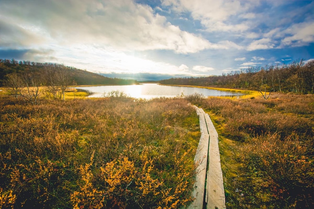
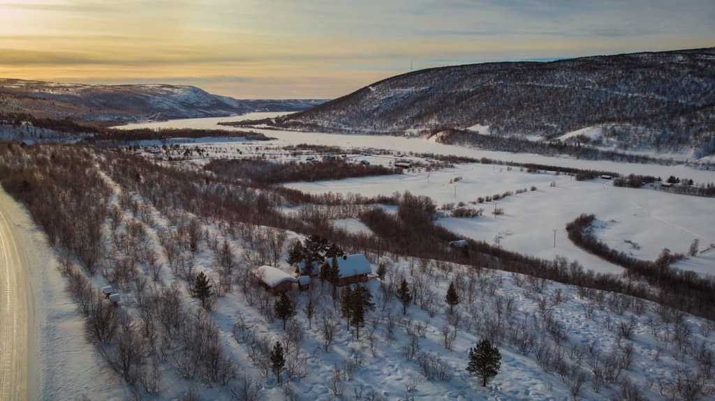
The main features of the Kaldoaivi Wilderness Area are its many ponds, lakes, streams, and rivers. They are distributed throughout the whole wilderness area, so Kaldoaivi is a great place for people who enjoy spending time by the water.
Kaldoaivi Wilderness Area’s largest lakes are Iijärvi and Pautujärvi. Other important lakes include Jullamojärvi, Johttijärvi, Vetsijärvi, Stuorát Duolbajávri, and Stuorát Golmmesjávri.
The most important rivers in Kaldoaivi are Näätämöjoki, which runs along its southern border, and Ylä-Pulmankijoki and Vetsijoki, which flow into the Teno River in the north. The Teno is considered to be one of the best rivers for salmon fishing in the country.
Additionally, the Sammuttijänkä-Vaijoenjänkä Mire Reserve is located just to the southwest of the wilderness. It is known for its unique wetland ecosystems, though there are many other wetlands in Kaldoaivi, too. In fact, the wilderness is home to some large palsas, which are permanently frozen peat mounds.
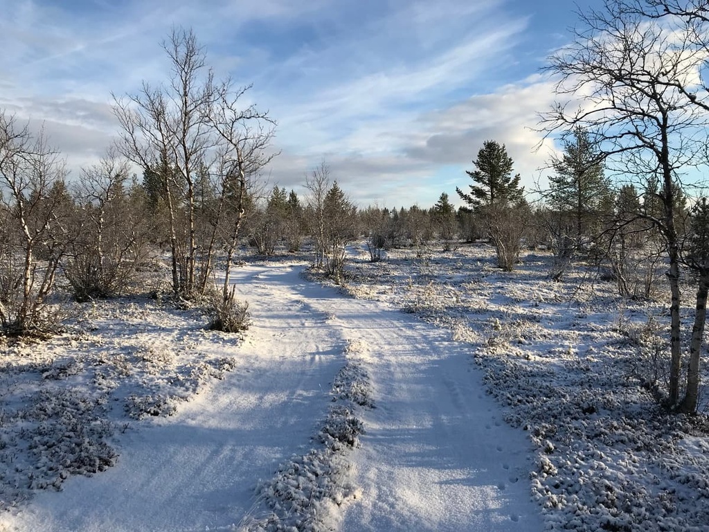
In terms of flora, the Kaldoaivi Wilderness Area is a highland area that’s primarily home to pine forests in the south and birch forests in the north.
The wilderness is actually home to the northernmost pine forest in Finland, which grows in the Pulmankijoki River Valley. Furthermore, the wilderness area’s birches are remarkable in that they can live for 300 years, which makes them among the oldest in all of northern Finland.
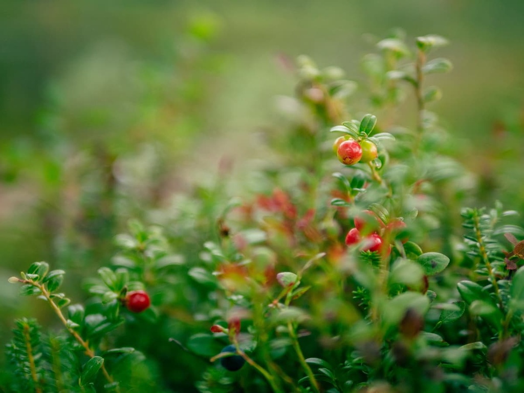
The closer you get to the water sources in the wilderness area, which includes bogs, ponds and lakes, and rivers, the richer the vegetation. Among low-growing plants in the wilderness, you can see Arctic yellow violet, common valerian, Siberian lettuce, mountain sorrel, and tufted saxifrage, among others. Kaldoaivi is also one of the only places in the country where the rare and protected Myricaria grows.
As far as animals in the wilderness go, there are Eurasian golden plovers—the most common bird in these corners of Lapland—as well as willow grouse, gyrfalcons, and snowy owls. However, if you see a golden eagle, peregrine falcon, or a lesser white-fronted goose, be sure to report it to the Finnish Forestry organization as these birds are also considered rare in this region.
Mammals that live in the wilderness area include stoats, least weasels, red foxes, and otters. Rare animals that inhabit the area include the Arctic fox, which has almost disappeared in this area. But there are projects in place to bolster the population of the Arctic fox in the region, and many of these efforts have EU support.
The Gálddoaivi mountain range, which forms the basis of the Kaldoaivi Wilderness Area runs from north to south. It has gentle slopes that reach summits of around 450 m (1,476 ft), so it does not stand out much in the landscape when compared to other nearby mountain ranges.
The highest peak in the wilderness area, Alla Gálddoaivi, as well as one of its sub-peaks, Kaldoaivi (383 m / 1,256 ft), is located in its geographical center, away from the main marked hiking trail, which runs along the wilderness area’s eastern borders. These mountains, like the others, can be reached by navigating your way off-trail through the wilderness, though doing so requires the right skills and equipment.
Another high peak in the wilderness, Puollamoaivi (433 m / 1,420 ft), is located near the village of Utsjoki, so it’s a great option for a hike if you don’t want to trek too far off-trail.
Other great peaks to check out in the wilderness include Laavuvaara (293 m / 961 ft), Guollebastin (318 m / 1,043 ft), Čároaivi (346 m / 1,135 ft), and Várdoaivi (379 m / 1,243 ft).
We should also mention the Tšuomasvarri Fell, which is also known as Čuomasvárri. It is a 435 m (1,427 ft) tall peak that is geologically different from the rest in the area. This fell consists of ultramafic rock, which is a type of rock that’s very low in silica but high in other minerals like hypersthene, augite, and olivine.
The main hiking area in the Kaldoaivi Wilderness Area is located along its eastern border, which also happens to be part of Finland’s international border with Norway.
In this eastern part of the Kaldoaivi Wilderness Area, you’ll find three marked trails. Here’s what you need to know before you set off on your adventure.
The main hiking route in the wilderness, the Sevettijärvi–Pulmanki Trail, runs for 60–70 km (37.2–43.4 mi), depending on the exact route you choose.
The trail starts in the municipality of Inari and ends at Pulmankijärvi Lake in the northern part of the municipality of Utsjoki. You can travel an additional 20 km (12.4 mi) from Pulmankijärvi Lake to the relatively large village of Nuorgam along the Pulmankijärventie road.
You can break up this trail into many smaller sections, which makes it much more manageable for a backcountry camping trip. These sections include:
The trail is well-marked with orange-topped wooden poles, and it is relatively easy to manage for experienced hikers. However, this isn’t a great destination for first-time backpackers because of its remoteness.
The southern half of the trail passes mostly through pine forests; the northern is through marshes and fells. There is plenty of water to be found throughout the trail. Keep in mind that you may have to cross some of the lakes and rivers on foot as some don’t have ferry boats or bridges available.
Despite its challenges, this is a great route that does not require advanced orientation skills and allows you to be alone with nature for a week.
The second marked trail in the wilderness area, the Inarinpolku Trail (Anárašmáde), branches off from the Sevettijärvi–Pulmanki trail at Aittoaivi. It also starts at Sevettijärvi but it leads to Karlebotn, a settlement on the western tip of Varanger Fjord in Norway.
This route is 100 km (62.1 mi) long. It is also incredibly interesting, especially because it is a historical trade route between the two countries that people have been walking for centuries, long before hiking was invented as a recreational activity.
Skaidijärvi Trail (5.8 km/mi) is the third marked trail in Kaldoaivi. It is a loop trail named after Skaidijärvi lake, which is located in the northern part of the wilderness area near Nuorgam.
You can reach the start of this route by driving or walking along the Pulmankijärventie road to the south. This small trail is suitable for those who want to set foot in the wilderness, but are not ready to set off on a weeklong adventure.
Keep in mind that these three marked trails only cover a small part of the Kaldoaivi Wilderness Area. But there are plenty of possibilities for hiking for those willing to get off the beaten path.
For example, on the western side of Kaldoaivi, you can hike to the Skállovárri reindeer fence. You can also hike to highland lakes along one of the following two routes:
Always remember that hiking off-trail is challenging in the northern part of Finland. You will need to come prepared with the right equipment and skills to navigate in this terrain. Self-sufficiency is essential in the wilderness as help may be far away in an emergency.
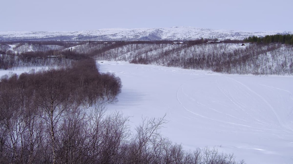
There is one marked cross-country skiing trail through the whole Kaldoaivi Wilderness Area. It generally follows the same path as the Sevettijärvi–Pulmanki hiking trail, but it differs slightly. Note that this trail also serves as a snowmobile track. There are also plenty of other snowmobile tracks that you can ski on in the wilderness area if you’re looking for more of an adventure.
The closest major ski resort to Kaldoaivi is located in the south of the wilderness in Saariselkä. It offers 7 km (4.3 mi) of pistes and five lifts. The larger resorts, Luosto and Levi, are located even further to the south and west. The latter, in particular, is the largest in all of Finland with 38.5 km (29.3 mi) of pistes and 27 lifts.
Before or after your hiking trip in the Kaldoaivi Wilderness Area you definitely want to check out its visitor center, the Skolt Sámi Heritage House.
The Skolt Sámi Heritage House is located in Sevettijärvi, which is the starting point of the marked trails in the south of the area, and is part of the Sámi Museum and Northern Lapland Nature Center Siida, the main museum of Sámi culture and Lapland nature, both of which are located in Inari.
As the names suggest, both museums tell the story of the Sámi through various exhibits. We should clarify that the Skolt are a subgroup of the East Sámi who lived in what is now Russia until the second half of the twentieth century. The word Siida also means ‘community,’ ‘Sámi village,’ or ‘reindeer herding area,’ in the Sámi language.
Skolt Sámi Heritage House
Sevettijärventie, 9041, 99930, Sevettijärvi, Lapland, Finland
+3580400 373015
kolttaperinnetalo@samimuseum.fi
Sámi Museum and Nature Center Siida
Siida, Inarintie, 46, 99870, Inari, Lapland, Finland
+3580400898212
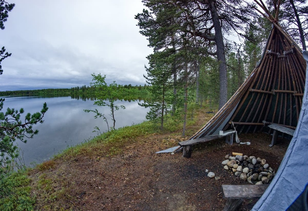
In Kaldoaivi Wilderness Area, as is the case in all of Finland’s wilderness areas, hikers are free to camp wherever they please.
However, local land managers recommend camping near the open wilderness huts, which are great places to stay in their own right. They also recommend staying near specially equipped campfire sites or at already impacted campsites to reduce your impact on the environment.
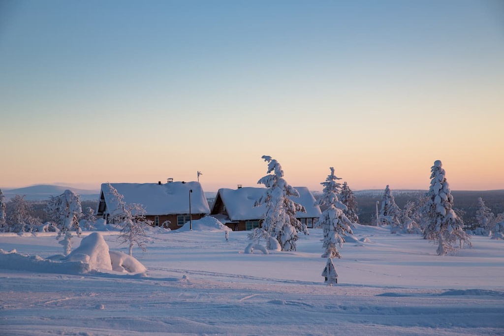
In addition to wild camping, you can choose from any one of the following accommodation options in the wilderness area:
The rental cabins are special insofar as you need to rent the entire cabin for the night—not just a bed. This makes them ideal for larger groups who want to spend more time in the wilderness. Prices can vary, but the cost of one of these cabins is normally €70 per night or €420 per week. You can also rent a cabin from Thursday to Sunday for €280.
Reservations are available between March and October via Ivalo Customer Service Point (Ivalontie, 10, 99800, Ivalo, +3580206397701, ivalo@metsa.fi) and the Northern Lapland Nature Center Siida. You can also pick up the cabin keys at either of these two locations.
Before and after your hike in Kaldoaivi, you can find different types of accommodation in one of the many villages that are located on the borders of the wilderness area. But keep in mind that the smaller the settlement, the fewer accommodation options that it has.
There are about a dozen settlements of varying size and importance around the Kaldoaivi Wilderness Area. Here’s what you need to know before your next trip to the region.
Sevettijärvi is the main village in the region and it is located in the southern part of the wilderness area.
The village is home to a visitor center and museum, as well as the Sevetin Harju and House Sevetin Rautu hotels, the Peuralammen camping area, and the Sevetin Baari restaurant, cafe, and bar. It’s also worth visiting the large and sandy Sevettijärvi Beach if you’re staying in the village.
The most famous settlement in the region is the Välimaa Sámi Farm. which is located to the north of the wilderness area.
Välimaa Sámi Farm features timber and turf buildings that date back to about 1858. However, people have lived in the region since at least the 1600s. It is a superb historic and cultural site that’s definitely worth traveling to if you’re visiting the wilderness area.
Most of the towns are located on the western borders of the wilderness, such as Kaamanen, Palomaa, Kevo, and Utsjoki. They are primarily located along the main highway in the region, so they are relatively large by northern Finnish standards.
If you’re venturing further to the north, Nuorgam is the largest village to the northeastern of Kaldoaivi. It is located just 30 km (mi) away from the Arctic Ocean, and it is home to about 200 people. Besides its stunning natural surroundings, the main attraction of Nuorgam is the fact that it is the northernmost inhabited part of Finland and the EU.
For more information, visit the official tourist site of Lapland: Lapland.fi.


