
Scan the QR code and open PeakVisor on your phone
Located in northern British Columbia, Canada, along the province’s border with Alaska, USA, Great Glacier Provincial Park is a rugged and mountainous protected area that rises upward from the banks of the Stikine River. Glacier Mountain is the tallest and most prominent of the 3 named mountains in the park; however, the main focus of the park is Great Glacier, which flows down between Mount Talbot and Icecap Mountain.
Situated along the Alaskan border, in northern British Columbia, Canada, Great Glacier Provincial Park is a protected area that features the stunning Great Glacier. Great Glacier itself flows down between Icecap Mountain, which is located to the north of the glacier, and Mount Talbot, which lies to the south.
The park is located on the western banks of the Stikine River in the Boundary Ranges of the Canadian Coast Mountains. Choquette Hot Springs Provincial Park is situated across the river from Great Glacier Provincial Park. The following are among the many other parks that are also located in the surrounding area:
The Boundary Ranges are part of the Canadian Coast Mountains and are an ice-capped, granitic and metamorphic range that rises abruptly from the Pacific Ocean. The peaks in Great Glacier Provincial Park are considered to be part of the Central Boundary Ranges.
The rugged coast mountains first started forming along the west coast of North America about 130 million years ago. At this time, a group of mainly volcanic islands accreted to the western edge of ancestral North America as their tectonic plate subducted beneath the continent.
The Paleozoic and Mesozoic-aged terrane of the ancient Coast Mountains was further compressed and uplifted as the Wrangellia and Alexander terranes collided with the west coast of what is now Canada during the Laramide orogeny.
Furthermore, during the Laramide orogeny, the subduction of the Kula and Farallon tectonic plates created an area of arc volcanism along the coast. The heat of the intruding magma in this region metamorphosed the surrounding rocks, producing schist. The magma then cooled slowly beneath the surface, turning into the granite batholiths that are the backbone of the Coast Mountains.
During the Pleistocene, the cordilleran ice sheet overrode most of the Boundary Ranges. Eventually, this ice sheet created cirques below many of the summits in the range. The lower peaks and ridges of the region tend to be rounded over, thanks to the erosive power of this ice sheet, while the valley walls were steepened and truncated to create the typical U-shaped glacial valleys that we see in the region to this day.
Great Glacier is one of many glaciers found in the Boundary Ranges. There are several massive icefields located near the park, too, including the Juneau Icefield. Within Great Glacier Provincial Park, there are many opportunities to see glacial and post-glacial features, such as moraines and periglacial lakes.
The climate and ecology of Great Glacier Provincial Park are heavily affected by the moist cold Arctic air that flows in from the northeast and the moist Pacific air that flows in from the Gulf of Alaska.
Massive amounts of snowfall regularly occur in the park as the warm oceanic air combines with the cold Arctic air. This combination of air masses creates conditions that are prime for snowfall at higher elevations and dense forests at lower elevations.
The Stikine River Valley, which is located along the east end of Great Glacier Provincial Park, receives a significant amount of precipitation each year. These high levels of rainfall support the west coast rainforests that are found in the valley. Here, you can see tree species such as western hemlock, amabilis fir, red cedar, and Douglas fir, particularly along riverbanks.
Further up the slopes in the park, the forest transitions to feature trees that are more tolerant to the cold. Mountain hemlock and yellow cedar outgrow the western hemlock and red cedar at higher elevations in the park.
However, the forests quickly transition to sub-boreal spruce forests as you move higher up in elevation. Eventually, the terrain shifts to include forests of Engelmann spruce and subalpine fir along the tree line.
There is an extensive barren alpine zone in Great Glacier Provincial Park. This is partly because a significant portion of the park is covered continually by Great Glacier, which extends down to lower elevations where it forms a seasonal periglacial lake. The climate in the park is such that, even during the summer, over half of the lake is regularly covered with ice floes.
While the park itself is quite small and generally doesn’t contain the complete range of any species, there are many animal species that inhabit the park for at least part of the year. Grizzly bears and black bears may be seen along the riverbanks in the park, as can deer and moose. Wolves also inhabit the Stikine River Valley and there are a wide variety of bird species that pass through the park on their annual migrations.
Great Glacier also creates unique ecological conditions that allow for rare periglacial ecologies to flourish. The small, unique ecosystems that exist along the periphery of the glacier allow researchers to gaze back in time to the end of the Pleistocene when the glaciers receded from the landscape and terrestrial plants began to regrow in the region.
Great Glacier Provincial Park lies within the traditional territory of the Tahltan First Nation. For generations, the Tahltan people have hunted, trapped, fished, and foraged the resources of the park and the surrounding region.
The main human activity that has occurred in the area that is now the park over the past few thousand years is fishing from the Stikine River. The river has long been part of the traditional fisheries of the region and it has supported First Nations in the area for generations.
The area is also used for hunting and trapping, two activities that became particularly important when Europeans came to the Pacific coast in the late eighteenth century to hunt and trade for various pelts.
The only access to the park is by plane or boat, though the marine route is easily the most popular way to arrive in the region. Many tours stop along the gravel banks of the park so visitors can get off the boat and make the short hike to the outwash lake located at the toe of the glacier.
While incredibly remote, Great Glacier Provincial Park’s location along the Stikine River makes it more accessible than most other parks in the Boundary Range. As a result, it sees a surprisingly large number of visitors and it’s getting more popular among hikers with each passing year. The park now sports rustic campsites and minimal facilities that make it easier to spend time exploring the unique wilderness area around Great Glacier.
The major attraction of Great Glacier Provincial Park is Great Glacier, which reaches down from the mountains to an outwash lake in the valley below. A short hike leads from the Stikine River to the lake, where visitors can view this incredible glacier.
In addition to views of the amazing glacier, visitors who make this short trek can see vast glacial deposits, fascinating periglacial ecosystems, and an outwash lake. The lake is constantly filled with a shifting mass of icebergs that have broken off from the end of the glacier.
However, other than this short hike, there aren’t many regularly used hiking trails in Great Glacier Provincial Park. There are plenty of opportunities for adventure in the park, though most require extensive backcountry travel experience and a penchant for hiking in a truly remote wilderness area.
Northern British Columbia features extensive tracts of uninhabited wilderness. Great Glacier Provincial Park, which is located along the border of British Columbia and Alaska, is one such tract of wild land.
While there aren’t many major cities located directly around the park, there are a number of towns and communities that are situated relatively nearby. Here are some of the best places to stay during your next trip to the region.
Located adjacent to Mount Edziza Provincial Park, the community of Telegraph Creek is situated about 120 km (72 mi) upriver of Great Glacier Provincial Park. The Tahltan people have inhabited the region for thousands of years, relying on the bounty of the forest and the Stikine River for their sustenance.
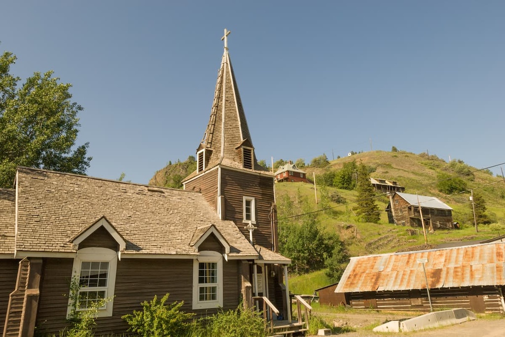
People of European descent began arriving in the area around the time of the Stikine and Cassiar gold rushes in the 1860s and 1870s. Current access to Telegraph Creek is by river, air, or a 112 km (67 mi) gravel road that features steep gradients, narrow passages along canyon walls without guardrails, and sharp-angled switchbacks.
The scenery around Telegraph Creek, however, is remarkable and the opportunity to hike in the stunning Mount Edziza Provincial Park makes the drive worthwhile. Boat tours along the adjacent Stikine River also offer an incredible opportunity to experience the deep backcountry of British Columbia during your visit to Telegraph Creek.
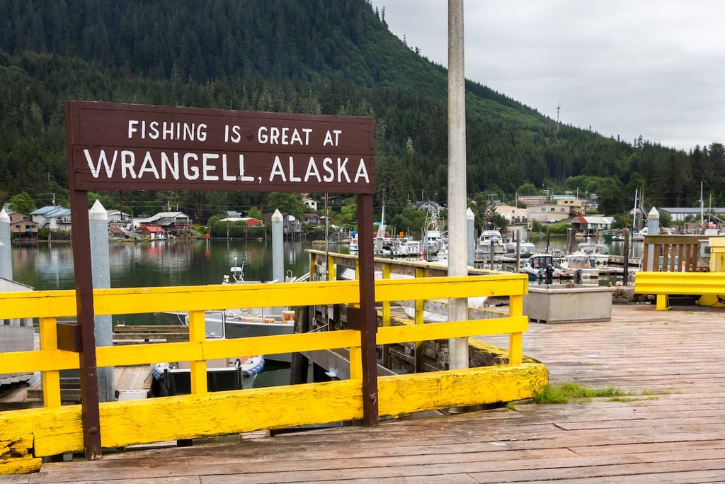
Located on Wrangell Island near the coastal outlet of the Stikine River, Wrangell is a city of about 2,100 people that’s situated in the southeastern part of Alaska. Wrangell is part of the ancestral homelands of the Tlingit, who have lived in the region for thousands of years.
Wrangell is located about 60 km (36 mi) downriver and across a strait from Great Glacier Provincial Park. Access to the park is possible from Wrangell, and jet boats are the most common form of transportation from the city. These jet boats can take you along the lower stretches of the Stikine River, which lead you to the glacier itself.
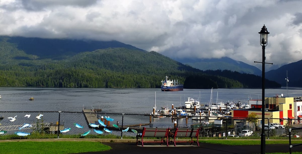
While in Wrangell, it’s definitely worth checking out the ancient petroglyphs at Petroglyph Beach. The petroglyphs at this beach attest to the long history of Tlingit settlement in the region.
After you visit Petroglyph Beach, there are opportunities for flightseeing, bear viewing, kayaking, hiking, fishing, and bear viewing trips in Wrangell. Tours up the Stikine River are popular, as are trips to view the many glaciers of the region.
Prince Rupert has been inhabited for the last 5,000 years by multiple First Nations who traditionally relied primarily on fishing for their sustenance. The forests and coastline of the region provided all that the First Nations traditionally needed to thrive, from fish and berries to fur pelts.
Currently, in addition to the major fishing and forestry industries of the region, Prince Rupert is the transportation hub of British Columbia’s north coast. The city is located about 350 km (210 mi) to the south of Great Glacier Provincial Park, and transportation to the north coast can be arranged in the city.
Furthermore, tours of Khutzeymateen Grizzly Bear Sanctuary, which features one of the densest populations of grizzlies in North America, regularly depart from Prince Rupert. Prince Rupert is the starting point for many wildlife viewing trips in the region, including expeditions to see grizzly bears, salmon, eagles, and whales.
If you’re looking to explore the area around the city on foot, some of the most popular hikes around Prince Rupert include the Butze Rapids Trail, Tall Trees Trail, and the trail to Wantage Falls. You can also hike Mount Hays via the Kiwanis Trail.


