Scan the QR code and open PeakVisor on your phone
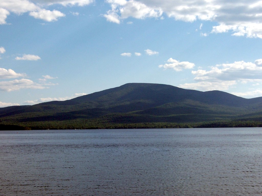
The Chazy Highlands Wild Forest is a series of preserved wildlands in the northern region of the US state of New York that’s home to lakes, forests, wetlands, and 21 named mountains. The highest and most prominent point in the area is Lyon Mountain at 3,829 ft (1,167 m).
The Chazy Highlands Wild Forest covers a total of 60,000 acres (24,281 ha) on scattered tracts of land throughout the northernmost reaches of the Adirondack Park within the towns of Altona, Beekmantown, Dannemora, Ellenburg, and Saranac in the US state of New York.
The wild forest is a patchwork of non-contiguous stretches of protected land, which is both state-owned and private land with conservation easements. The area consists mostly of state forest preserve, with smaller tracts of state forest, wildlife management area, and private land with public access.
The Chazy Highlands Wild Forest is adjacent to the Sable Highlands Conservation Easement, which is a parcel of about 84,000 (33,400 ha) acres of privately owned land that’s open to public use in some areas.
The tallest peak and most popular hiking destination in the area is Lyon Mountain, an isolated peak with a fire tower offering expansive views as far as Vermont and Montreal in Canada on a clear day. Lyon Mountain is the highest point north of the Saranac River and the highest point in Clinton County.
Beyond Lyon Mountain, there are few formal hiking trails in the Chazy Highlands Wild Forest. However, there’s an extensive network of roads that are open to motorized use, which offer access to boating, fishing, hunting, biking, and camping opportunities.
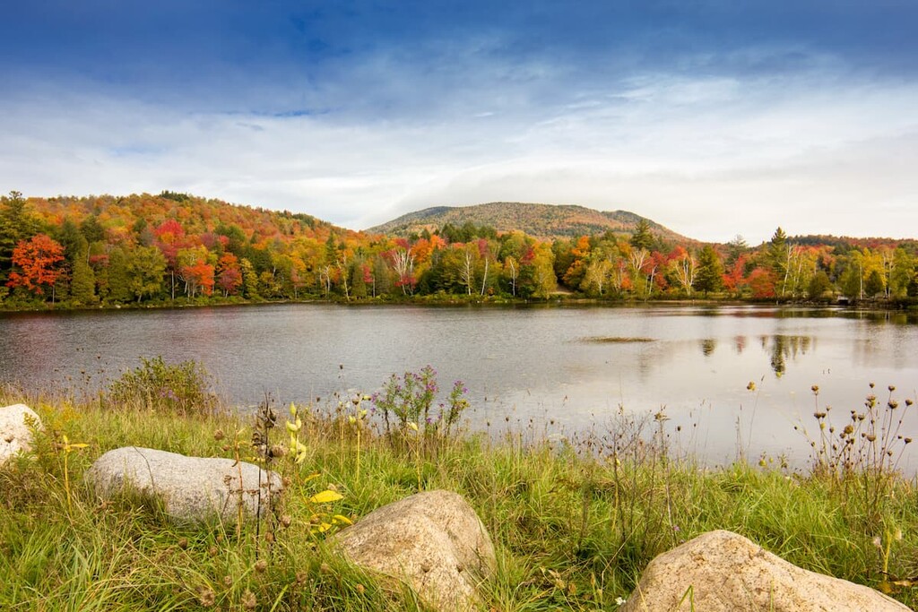
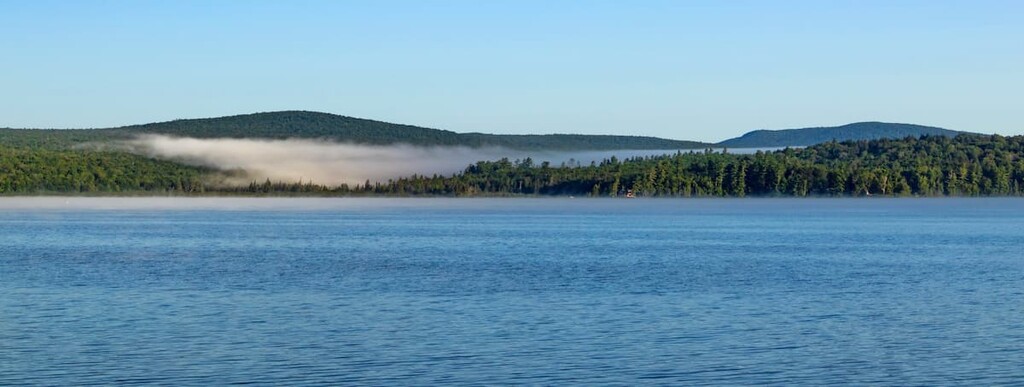
Within the wild forest, Chazy Lake and Upper Chateaugay Lake are popular for fishing and both have public boat launches. The many miles of dirt lanes and logging roads in the area are open to hikers, cyclists, and horseback riders.
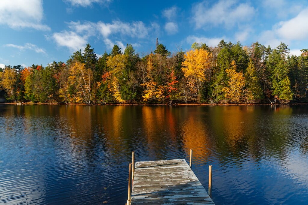
Primitive camping is allowed in the wild forest, and there’s one designated campsite on Chazy Lake. During big game hunting season, additional campsites around Barnes Pond are open to the public, too.
Other than these areas, there are very few developed trails or other recreational facilities in the area. The New York Department of Environmental Conservation is currently in the process of creating an official management plan for the area, which may expand recreational opportunities.
The closest open space to the Chazy Highlands Wild Forest is the neighboring Sable Highlands Conservation area, but there are lots of other hiking opportunities nearby, including the Debar Mountain Wild Forest, Titusville Mountain State Forest, and the Taylor Pond Wild Forest.
The Chazy Highlands Wild Forest lies at the northern edge of the Adirondacks, which is a unique dome-shaped group of mountains unrelated to the Appalachians in the rest of the northeast.
The bedrock of the Adirondacks formed during the Grenville Orogenic series, long before the mountain-building events that formed the Appalachians. Some of it is more than a billion years old, making it some of the oldest exposed bedrock in the US. The Adirondacks are one of the few places on earth where rocks from the Grenville Orogeny are visible.
While the bedrock of the Adirondacks is ancient, the events that created the landforms we see today are relatively recent (in geological terms, at least). Sometime in the last several million years, and for reasons which are still unclear, the zone of the Adirondacks began to lift up from sea level. They’re still growing about 2 millimeters per year, faster than the rate of erosion.
Even more recently, in the last million years or so, various ice sheets descended from the poles and covered the area, dramatically changing the landscape. They ground down mountain tops, gouged out u-shaped valleys, and left glacial lakes kettle ponds in the landscape. The glaciers that covered the Adirondacks only retreated in the last 10,000 years.
Today, the bedrock under most of the Chazy Highlands is granite and gneiss, igneous rocks relatively common to the northeast. It’s buried about 1–3 meters below surface level in most places throughout the forest preserve, with bedrock exposed on the summits of some of the higher mountains in the area.
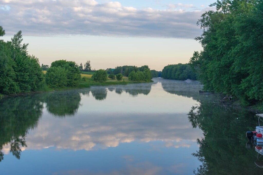
Several major rivers begin in the Chazy Highlands Wild Forest, including the Chazy, the Salmon, and the North Branch of the Saranac rivers. The area drains into two watersheds, the Champlain and the St. Lawrence.
The highest peak in the area is Lyon Mountain, followed by Averill Peak, Bushy Knob, and Haystack Mountain.
Lying at the northern end of the Adirondack Park, the Chazy Highlands Wild Forest occupies the transition zone between the mixed hardwood forests of the eastern US and the North American Boreal Forest that extends across Canada.
There are low-lying, marshy areas with common wetland vegetation, extensive tracts of hardwood forest, and pure stands of coniferous trees at higher elevations. Common tree species include maple, beech, birch, spruce, and fir.
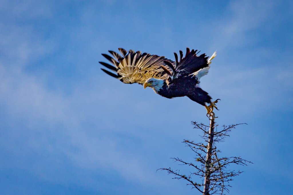
In terms of wildlife, the Chazy Highlands Wild Forest has been identified as a major moose habitat. There are only about 400 moose in the Adirondacks, so this is an important distinction. There are also bears, white-tailed deer, coyotes, foxes, porcupine, beavers, and several other dozen species of mammals in the area.
The area is very popular for fishing, in part because Chazy Lake and Upper Chateaugay Lake are well-stocked with fish. Some of the species in the lakes include landlocked salmon, lake trout, smallmouth bass, rainbow trout, rock bass, and northern pike.
The area of the Adirondacks has been inhabited for at least 11,000 years. The most prominent group in the area before European Contact was the Mohawk (Kanienʼkehá꞉ka), the easternmost members of the Haudenosaunee (Iroquois) Confederacy. They lived primarily in what’s now called the Mohawk Valley south of the Adirondacks, although their territory extended through what’s now northeastern New York and into parts of Vermont and Canada.
The Mohawk, along with the Algonquian tribes who were centered in what’s now called Vermont, used the area of the Adirondacks for hunting, fishing, transit, and trade, although there wasn’t much permanent settlement in the area due to the harsh terrain.
After the arrival of American and European settlers, the Mohawk were pushed further north into the mountains, with many being forced to resettle in Canada. One of these areas of resettlement was Akwesasne, located near the mouth of the St. Regis River about 50 miles (80 km) from where the Chazy Highlands Wild Forest lies today. This settlement became the St. Regis Mohawk Reservation, which is home to several thousand Mohawk people today.
After settlers of European descent came to dominate the area, the Adirondacks were used for logging, mining, and other forms of industry. The Chazy Highlands were located so far north that it took longer for industry, and settlers in general, to reach the area.
In 1803, a Vermont native named Nathaniel Lyon moved to the area around Chazy Lake to farm in the area. Lyon Mountain is named after him, and the mountain became a focus of tourism in the area as more and more people visited the Adirondacks in the late 1800s.
In 1876, a trail to the top of Lyon Mountain was completed, offering local hotel guests a chance to take in the summit views and even camp in the rustic shelters built at the top. The first woman to climb the new trail was Hattie Lyon, the granddaughter of Nathaniel Lyon.
Shortly after the trail opened, the famed Adirondack surveyor and wilderness advocate Verplanck Colvin used it as a headquarters for his surveying operation. The fire tower which still stands on the summit of Lyon Mountain was built in 1910.
In 2008, the Adirondack Mountain Club built an easier and more stable trail up Lyon Mountain, replacing the historic old trail that had been in service for 132 years.
While there’s lots of open space, dirt tracks and logging roads that can be explored in the Chazy Highlands Wild Forest, there’s really only one main hiking area on Lyon Mountain. Here’s a quick look at the various recreation opportunities available in the wild forest:
This trail replaces the old historic trail to the Lyon Mountain Fire Tower, which was very steep and difficult. The new trail is still considered challenging, but it climbs more moderately and has 11 switchbacks in the steepest section. The new trail was designed to be scenic and passes many open rock outcroppings.
There are several mixed use trails through the wetlands in the Lewis Preserve Wildlife Management area that are particularly good for birdwatching.
Where public use areas can only be accessed via private land, the state maintains LRCs (linear recreation corridors), in addition to the extensive network of backroads in the area. These roads can be great for walking, biking, horseback riding, and, where permitted, off road vehicles and snowmobiles. There are also many miles of old logging roads which are less maintained but still great for recreation.
One of the main draws to the Chazy Highlands is that it’s wild and remote, but there are a few towns in the area that make great bases to explore the northern Adirondacks.
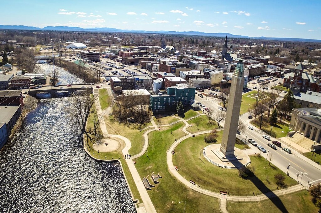
One of the closest towns to the Chazy Highlands Wild Forest is Saranac, a small town of about 4,000 people just south of Lyon Mountain on the Saranac River. Do note however, that the town of Saranac is different from that of Saranac Lake, the latter of which is located to the south in Essex and Franklin counties.
Saranac is not a major Adirondack tourist destination, but it’s refreshingly quiet and a beautiful town with lots to offer visitors. The High Falls waterfall is a popular attraction in the town, and there are beautiful mountain and valley views all the way to Whiteface. The area is popular for motorcycle riding and cycling. too.
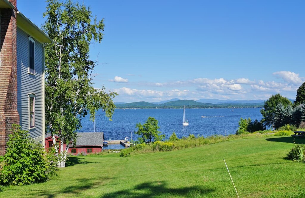
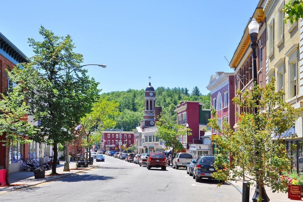
Situated on the shores of nearby Lake Champlain, Plattsburgh is one of the largest towns in the area as it’s home to about 20,000 people. The town is home to beautiful beaches on Lake Champlain, a lakeside state park, and lots of restaurants and dining options.
Plattsburgh is less than 20 miles (32 km) from the Canadian border and only a few miles from beautiful South Hero Island in Lake Champlain, so it’s a great place to stay if you want to explore other areas of New York and Vermont, or even make a day trip to Montreal.