
PeakVisor Lifetime PRO
Unlock the wonders of the mountains for someone special in your life. Send a lifetime subscription to PeakVisor Pro this holiday season!
send your gift

Mappe 3D e Identificazione Montagne
Diventa un supereroe dell'outdoor grazie a mappe 3D di grande qualità e identificazione delle montagne sempre a portata di mano!

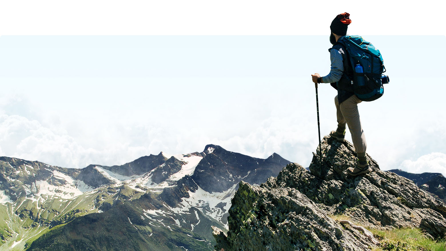
Realtà aumentata
Identifica le Montagne
Sfrutta al massimo le mappe 3D ad alta precisione nel palmo della tua mano. Identifica vette fantastiche in tempo reale o scatta una foto e nomina le vette per poi condividere le immagini coi tuoi amici.
Navigazione con le Mappe 3D
By visualising hiking trails in the realistic 3D maps you can immediately understand where and how the route will take you!
Usa ovunque
Offline pronto
Non c'è Internet? Nessun problema. Tutto ciò che ti serve per la tua prossima avventura può facilmente essere scaricato e consultato in qualsiasi parte del mondo.
esplora
Disponibile ovunque nel mondo
Dalle alte vette alpine dellaSvizzera alle remote regioni dell'Alaska, PeakVisor copre tutte le maggiori e minori catene montuose del mondo. E molte altre catene e vette vengono aggiunte giornalmente, rendendo sempre più facile il teletrasporto nei tuoi luoghi preferiti attorno al globo.
check the actual feeds
Mountain Pulse
Find other PeakVisor users who have checked-in in the same or neighboring region, nature park or a mountain range as you. See where else these peak baggers have hiked and climbed, and be inspired by their example.
Europe
Traiettoria del sole
The Sun Trail reflects the movement of the sun and is super handy in positioning the compass and advising photographers a perfect time for a snap.
Traiettoria Luna
PeakVisor include un altimetro e una bussola 3D high-tech che misurano l'elevazione di ogni vetta che appare nella visuale.
Importazione Foto
Lascia che i tuoi amici e la tua famiglia sappiano quali posti meravigliosi hai esplorato grazie alla condivisione delle immagini! Scattando una foto, PeakVisor ti permette di catturare, salvare e condividere i nomi e l'altitudine di ogni vetta direttamente nell'immagine.
world mountain lifts
Check what ski lifts and summer cable cars are open or closed in real time on the interactive map. Learn about the ski slopes at the largest and most popular ski resorts in the world, as well as all other information about them.