Scan the QR code and open PeakVisor on your phone
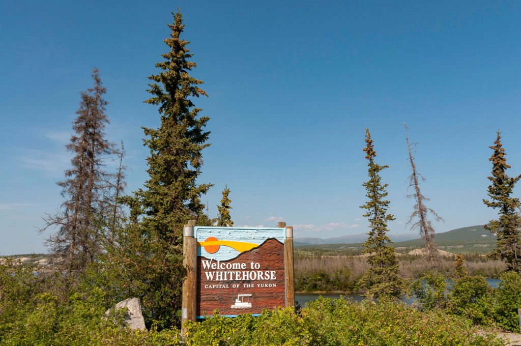
Whitehorse is the capital of Yukon in northern Canada and is the largest city in the three northern territories. The city covers both banks of the Yukon River and has a population of about 30,000. The city is framed by four peaks, of which Golden Horn Mountain (1,688 m/4,902 ft) is the tallest and most prominent.
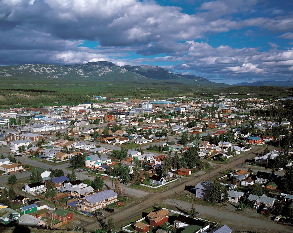
Located in southern Yukon, Canada, Whitehorse is the capital city of the territory and the largest city of the three northern territories which also include Northwest Territories and Nunavut. The city spreads out from the banks of the Yukon River and is watched over by four nearby peaks.
Grey Mountain (1,494 m/4,902 ft) rises about 2 km (1.2 mi) southwest of the city while Mount Sumanik rises 1,594 m (5,230 ft) northwest of the city. Mount McIntyre (1,567 m/5,141 ft) and Golden Horn Mountain (1,688 m/4,902 ft) grace the skyline southwest of Whitehorse.
Golden Horn Mountain is the tallest and most prominent of the nearby peaks, which are part of the Yukon Intermountain Ranges.
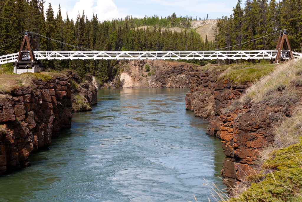
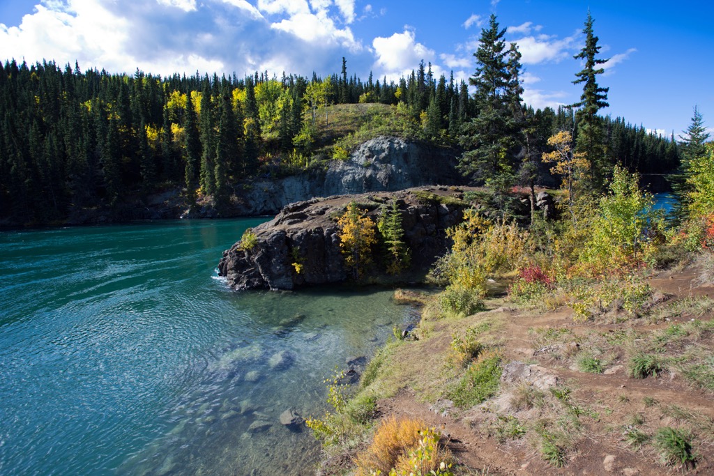
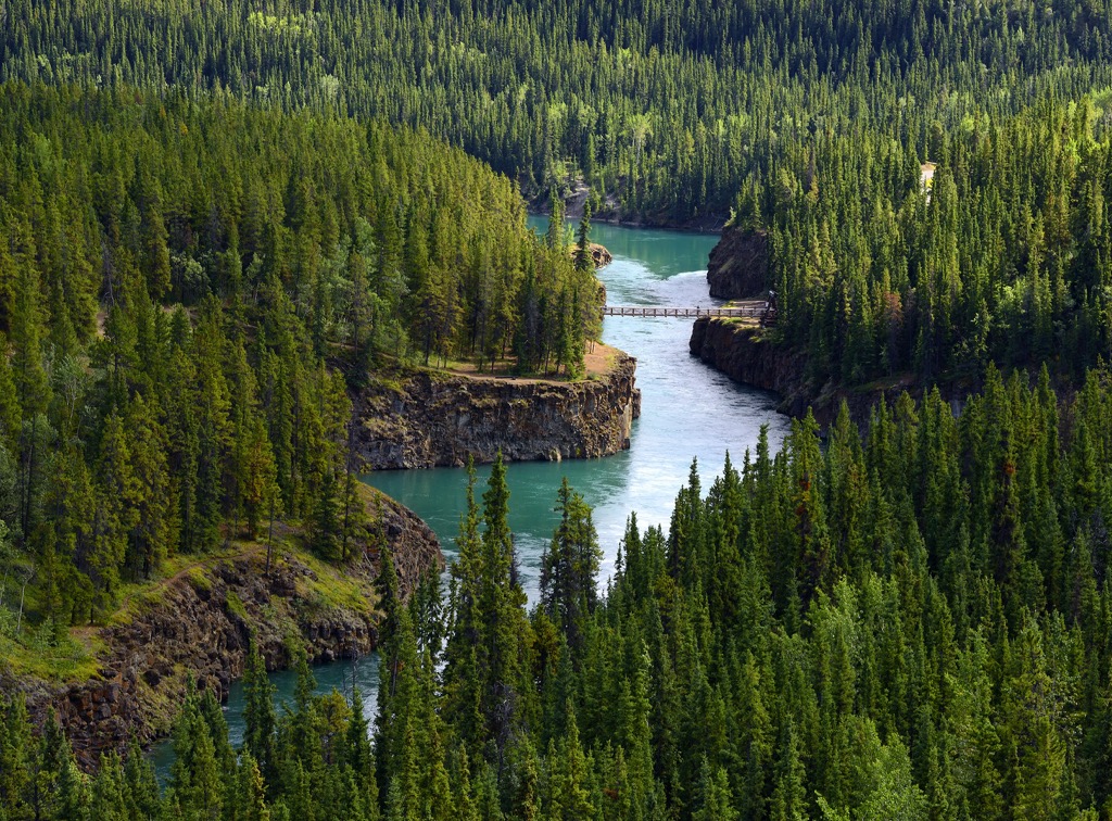
Whitehorse was named for a series of whitewater rapids along the Yukon River. However, when a hydroelectric dam was constructed in 1958 the rapids disappeared beneath Schwatka Lake and Miles Canyon. The city is situated at Mile 918 (kilometer 1,425) of the Alaska Highway and is also at the junction with the Klondike Highway.
The geology of western Yukon, Alaska, and British Columbia has a complex history as these areas are formed from the amalgamation of many terranes. Terranes are described as a fault-bounded region with a distinctive stratigraphy, structure, and geological history compared to adjacent areas.
Whitehorse was built upon the Stikine terrane, which is part of the Intermontane terranes which also include the Cache Creek, Quesnellia, Yukon-Tanana, and the Slide Mountain Terranes. The Intermontane terranes accreted to the edge of ancient North America and were closed in by the Insular terranes such as the Alexander terrane and Wrangellia.
The Stikine terrane formed as an independent, oceanic volcanic arc during the Paleozoic and Mesozoic. Upon the volcanic arc is a Stikinia are layers of shales, sandstones, and conglomerates. Known as a molasse, this layer is usually formed in front of rising mountain chains.
During the late Cretaceous and until the Eocene the terrane was accreting to the continent which created a transitional volcanic arc assemblage. Following the orogeny of the tectonic collision there was a period of uplift, erosion, and plateau basalt volcanism that define the present geomorphology of the region around Whitehorse.
Whitehorse is underlain by sedimentary and volcanic rocks. West of Whitehorse are typically augite basalt flows and tuffs while Triassic and Jurassic aged limestone, argillite, tuffaceous sandstone and conglomerate comprise the Whitehorse Trough which is centered along the Yukon River.
North of Whitehorse and east of Lake Laberge, the cliffs and peaks are composed of Triassic aged limestone with some notable fossil reef communities. Northeast of Whitehorse are the post-accretion Mount Byng which is in an area of thick andesite and basalt flows.
The Cretaceous was a time of major volcanism in the region and there are many granitic plutons that intruded the bedrock. Mount M’Clintock and Cap Mountain are some of the peaks near Whitehorse that are associated with the Cretaceous aged granitic intrusions.
Southwest of Whitehorse, near Agrimi Peak is the Alligator Lake volcanic complex. About 3 million years ago vesicular basaltic lava erupted leaving spatter cones and scoria-covered uplands. Between 15 and 8 million years ago the basalt lava flowed between Mount Sima and the Whitehorse Rapids to create unique columnar jointing in the area.
During the Pleistocene, Whitehorse would have been covered by the Cordilleran ice sheet. Ice would have flowed from the Cassiar Mountains and from the Coast Mountains. The relatively flat topography of the region was formed by glacial flow.
While the glaciers were likely gone about 9,000 years ago, the glaciers left behind massive deposits of gravels, clay, and silt. After the glacial period, streams and creeks began to cut through the thick layers of glacial drift to create steep-sided canyons and terraces along the waterways.
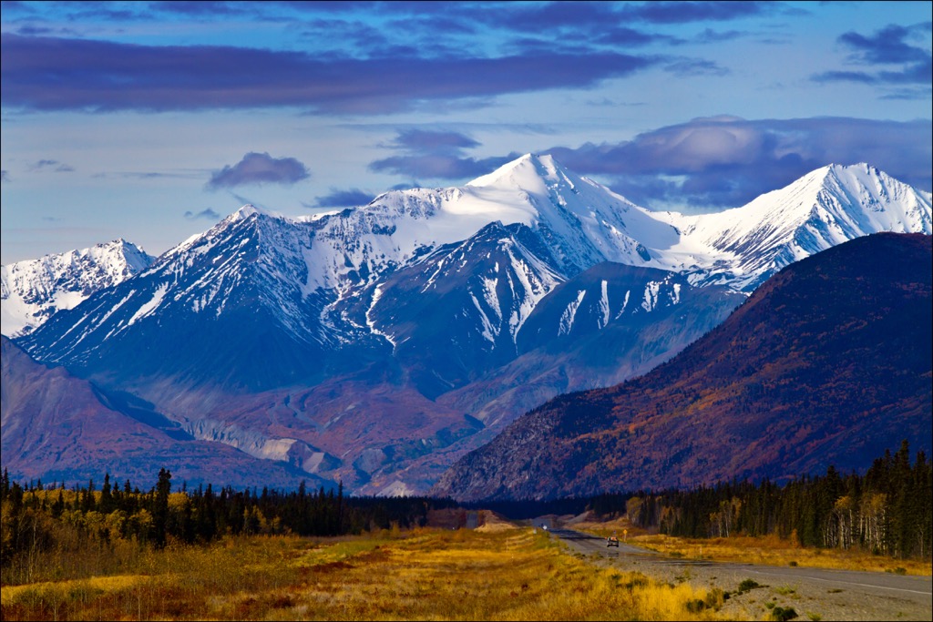
Whitehorse is in the rain shadow of the St. Elias Mountains, making the climate cool and dry. The most abundant vegetation are the open coniferous forests and mixed woodlands. Pine is the most abundant species because it regenerates quickly after fires while spruce-feather moss forests are common on active floodplains and areas that have not burned in the past 100 years.
Upland areas and higher elevations are typically a mixture of shrubs, including kinnikinnick, twinflower, lingonberry, and lichen. The mountain summits are typically a dry dwarf shrub tundra.
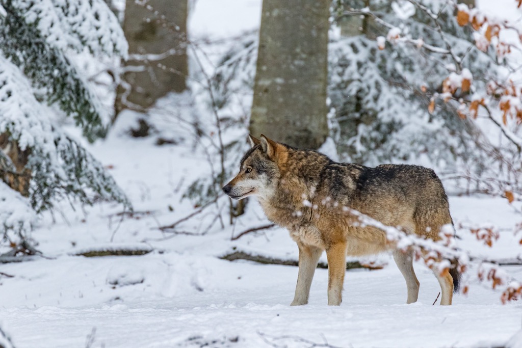
The diverse topography of the region supports the most diverse and abundant wildlife in all of Yukon. It is believed that at least 50 of the 60 known Yukon mammal species inhabit the area around Whitehorse.
Some of the species around Whitehorse are Dall sheep, grizzly bear, wolves, coyote, red fox, and wolverine. Wolverine and wolf populations around Whitehorse are among the densest in Yukon; however, coyotes are quite prevalent in the area and are an invasive species.
Likely due to their ability to outcompete the red fox and widespread wolf control policies during the early twentieth century, coyotes were able to successfully invade the region.
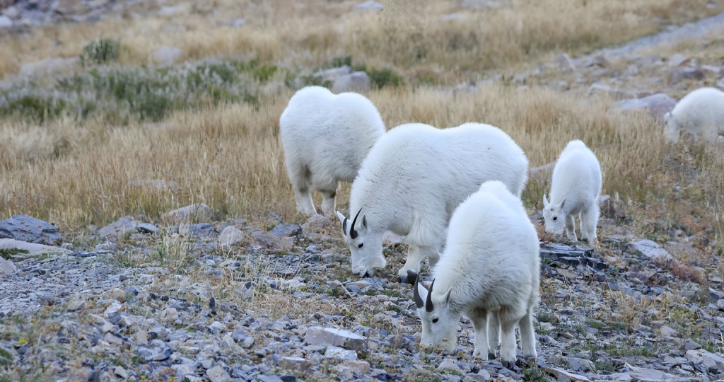
Some of the other species in the area are Stone Sheep which inhabit the mountains northeast of Whitehorse, as well as moose, mule deer, elk, lynx, snowshoe hare, cougars, mountain goats, and caribou. Regulations on hunting moose and caribou were implemented to help the dwindling populations.
Mountain goats were extirpated by the 1960s; however, a small population was reestablished upon White Mountain in the early 1980s. Furthermore, an elk herd was introduced in the 1950s.
Archeological discoveries in Whitehorse have revealed that the area has been used and inhabited by indigenous people for thousands of years. Whitehorse is in the traditional territory of research south of the Kwanlin Dün First Nation, Champagne and Aishihik First Nations, and the Ta’an Kwäch’än Council who are all generally considered part of the Southern Tutchone.
The Kwanlin Dün take their name from the section of the Yukon River between Miles Canyon and the Whitehorse Rapids which their ancestors called Kwanlin, meaning “running water through canyon” and Dün which means “people” in Southern Tutchone. The Ta'an Kwäch’än take their name from Lake Laberge which they called Tàa'an Män, so they are “People from Lake Laberge”.
The Southern Tutchone language is part of the Athabaskan language family which is also spoken by indigenous people in the southwestern United States, such as the Navajo and Apache. There are close cultural ties between the Southern Tutchone and the coastal Tlinglit people.
The territories of the indigenous groups overlapped around Whitehorse and along the Yukon River. Many of the archaeological discoveries related to seasonal fish camps along the river.
The lives of the indigenous changed forever when gold was discovered in the Klondike in 1886. Early prospectors arrived in Yukon via the Chilkoot Trail; however, steamships were transporting stampeders to the region by 1897. The new stampeders were camping at “White Horse”, which was the name of the deadly rapids through Miles Canyon.
By the middle of 1898 there was a bottleneck of stampeders at Canyon City, which is now a ghost town south of Whithorse. It was ultimately the railroad that decided that Whitehorse would boom while the initial settlement at Canyon City would dwindle.
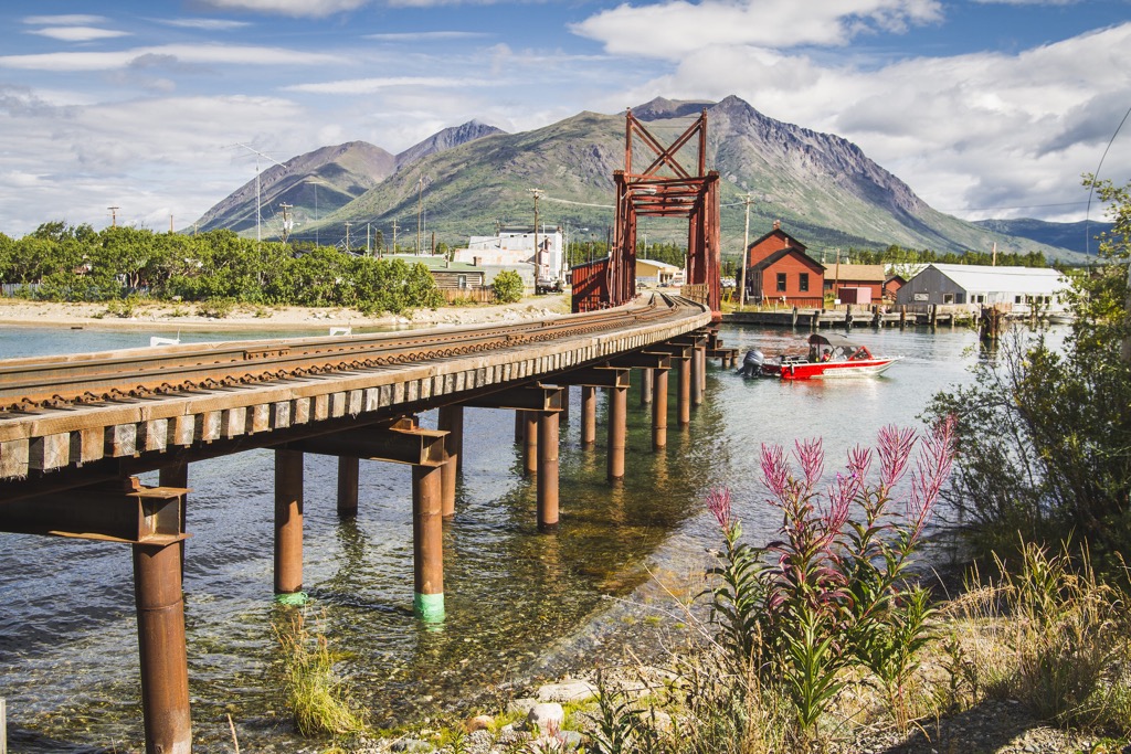
It was in 1900 that the White Pass and Yukon Route railway that linked Skagway, Alaska to Whitehorse was finally completed. Reports mention that four trains were arriving per hour during the summer of 1901 carrying people and freight.
While traders and prospectors were calling the new city Whitehorse, referring to the White Horse rapids in Miles Canyon, the railway attempted to change the name to Closeleigh. The Close brothers were British investors in the new railway; however, the territory’s Commissioner, William Ogilvie refused the attempted name change, and Whitehorse was booming.
While on their way to the Klondike, some of the prospectors discovered copper in the hills west of Whitehorse. Known as the “copper belt”, the first copper claims were staked in 1898 and mining continued in the area until the 1980s.
Until 1920, the only way to arrive in Whitehorse was by river, and by rail. It was in 1920 that the first planes landed in Whitehorse, and it wasn’t until 1942 that people could drive to the northern city. Between March and November of 1942, the US military constructed the 2,500 km (1,600 mi) Alaska Highway which connected Alaska to the US mainland through the Canadian highways.
Access from the Alaska Highway doubled the population of Whitehorse between 1941 and 1951, and in 1950, Whitehorse was incorporated as a city. In 1953, after the construction of the Klondike Highway, the capital of Yukon changed from Dawson City to Whitehorse. It was only in 1957 that the name of the city was officially changed from White Horse to Whitehorse.
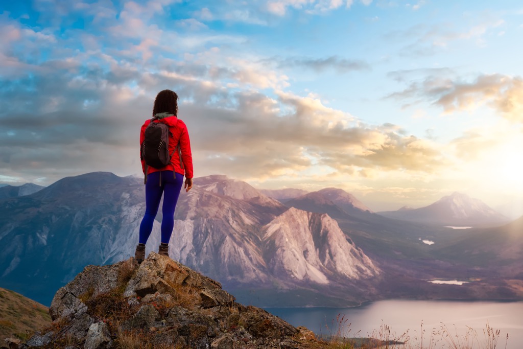
Whitehorse is the hub for travel in Yukon and a must stop location for those traveling along the Alaska Highway. Hikers and mountain bikers have access to hundreds of kilometers of trails and paddlers can take on the Yukon River, which flows through the city.
Adventurers can find hot springs, wildlife preserves, and stunning wilderness areas within an hour’s drive of the city or they can board a floatplane and make their way into the deep territorial wilderness. The following are some of the major activities in and around Whitehorse.
There are many local hiking trails in Whitehorse that are easy to access and are an amazing introduction to the beautiful scenery of northern Canada. Some of the popular trails in Whitehorse are the Whitehorse Millennium Trail and the Miles Canyon Loop.
The Millennium Trail is an easy 4.5 km (2.7 mi) loop along and over the Yukon River, right in the middle of the city. The Miles Canyon Loop starts at the place as the Millennium Trail, the SS Klondike Historic Site, and heads south around Schwatka Lake. The 15 km (9 mi) loop is only a small section of the hundreds of kilometers of interconnected trails that surround Whitehorse.
There are over 700 km (420 mi) of marked trails around Whitehorse, including 85 km (51 mi) of groomed cross country ski trails. There are trails to the summit of Grey Mountain and Mount McIntyre as well as trails through the Yukon Wildlife Refuge and around the nearby hot springs. There are many incredible sights to see and wilderness areas to explore around Whitehorse.
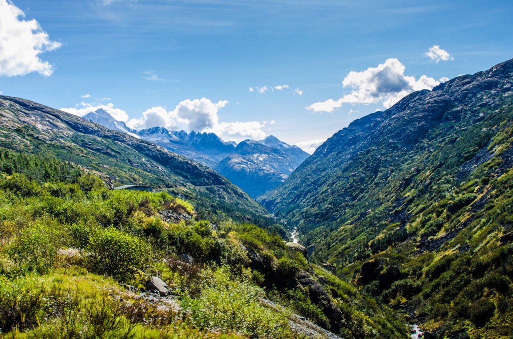
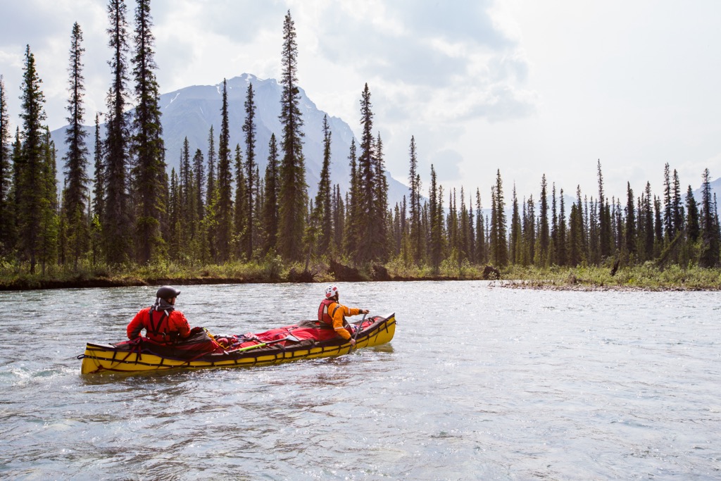
Exploring Yukon from the water as many of the first explorers did is an incredible way to experience the Yukon wilderness. Visitors can paddle along the relaxing rivers while admiring the stunning mountain views or test themselves against the white water and thrilling canyon rapids.
The Yukon River runs right through Whitehorse and offers a great place to start or end a multi-day paddling excursion or an opportunity to learn the basics and have a fun day on the water. Visitors can drive to other locations along the Alaska Highway to start their adventures or a floatplane can be chartered to access the more remote areas of the Territory.
If you choose to follow the Yukon River, you are following the paddle strokes of gold seekers, explorers, and the indigenous who have lived here for generations. While following the river you’ll likely notice some of the historical remnants of the gold mining era or perhaps the more subtle mark of centuries old First Nation meeting places and fish camps.
Whitehorse has been growing steadily since gold was first discovered in Yukon in 1886. By 1887 the tent town was already transitioning to a permanent settlement with houses and other buildings. While the indigenous have camped along the river for thousands of years, it was the gold-rush era settlers that left a permanent mark on the region.
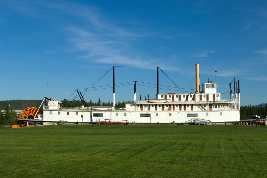
While visiting Whitehorse there are many nineteenth and early twentieth century sites to tour. Along the western bank of the Yukon River is the SS Klondike National Historic Site, which has preserved one of the iconic sternwheelers that plied the river during the early twentieth century.
Some of the other locations that visitors may like to visit are the many historic homes, the old firehall or telegraph office, and the railway station where thousands of hopeful people passed through has they tried to find or make their fortune.
Whitehorse is the gateway to the Yukon and a major stop along the Alaska Highway. The following are a couple other communities in Yukon that were first settled at the turn of the twentieth century.
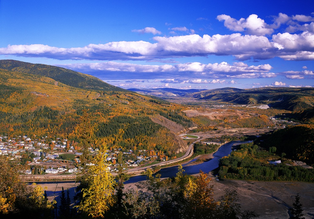
Dawson City is a town on the Yukon River, about 530 km (318 mi) northwest of Whitehorse. It was a major camp during the Klondike Gold Rush and was the capital of Yukon until the 1950s.
The town has preserved some of their frontier style buildings, and many of them are found in their Historical Dawson Complex. Visitors can tour the Dawson City Museum to gain a deeper understanding of the gold rush, the geological setting of Dawson City, and the indigenous inhabitants of the region.
Canyon City is a ghost town about 7 km (4 mi) south of downtown Whitehorse, at the upstream end of Miles Canyon. While the site has significance for the history of the Klondike Gold Rush, it was also the site of indigenous seasonal fish camps before the arrival of non-indigenous people.
During the region’s gold rush, a bottleneck of travelers was created at the site because of Miles Canyon and the Whitehorse Rapids, which were the most treacherous obstacles along the route. As such, Canyon City grew because it was a place where people would have to unload their goods to portage and plan the next phase of their travels.
By June of 1898 there had been nearly 300 boats that wrecked in the rapids; however, only five people drowned. While tramways and other ingenious ventures found ways to transport goods past the treacherous rapids, the White Pass railway to Whitehorse gave travelers a much safer way to travel and Canyon City had lost its reason to exist.
Canyon City is now an interactive archaeological site that is exploring the history of life before and after the gold rush.