Get PeakVisor App
Sign In
Search by GPS coordinates
- Latitude
- ° ' ''
- Longitude
- ° ' ''
- Units of Length

Yes
Cancel
❤ Wishlist ×
Choose
Delete
The Winston Churchill Range is a collection of peaks that is located in eastern Alberta, Canada at the south end of Jasper National Park. The range contains over 30 peaks, the tallest of which is Mount Columbia, the second tallest mountain in the Canadian Rockies, with an elevation of 3,747 m (12,293 ft) and a prominence of 2,380 m (7,808 ft).
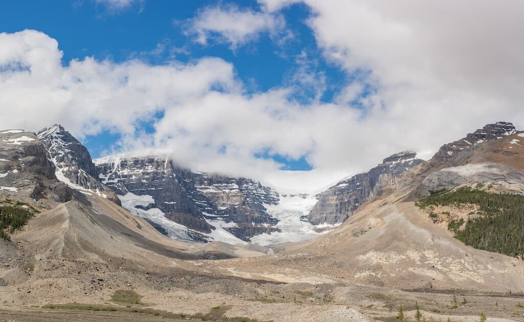
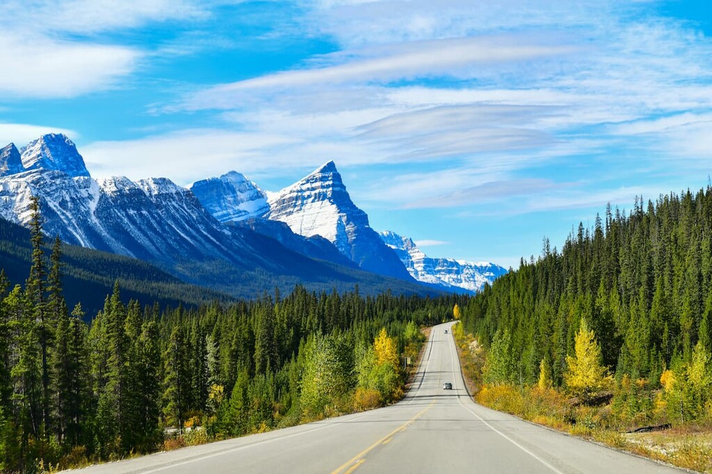
The Winston Churchill Range is located about 80 km (48 mi) to the south of Jasper, Alberta. It is the southernmost range in Jasper National Park. Highway 97, which is also known as the Icefields Parkway, runs parallel to the Winston Churchill Range. The range is also located to the north of the Athabasca Glacier in the Columbia Icefield.
The Athabasca River flows along the western border of the range while the Sunwapta River flows along the eastern border of the peaks. Many maps will show that the Winston Churchill Range’s southern terminus is at Stutfield Peak and the north end of the Columbia Icefield; however, according to the government of Canada, the southern end of the range is further south, at the Athabasca Glacier.
The mountains in the Winston Churchill Range are among the tallest in the Canadian Rockies as they include 10 peaks with elevations over 3,350 m (11,000 ft). Mount Columbia (3,747 m/ 11,873 ft) is the tallest mountain in the Winston Churchill Range and in Alberta, and it is only second in elevation to Mount Robson (3,954 m/ 12,972 ft) in the Canadian Rockies.
About 180 million years ago, North America was drifting westward, which caused it to collide with oceanic tectonic plates to the west. For the next 130 million years, oceanic plates slid under the North American plate. In the process, massive sheets of rock were fractured, deformed, and stacked to create the Western Cordillera, which includes the Coast Mountains, Columbia Mountains, and Rocky Mountains.
There were two significant orogenies, or mountain formation events, that built the mountains of western Canada. First was the Sevier orogeny, which was responsible for the creation of the Columbia and Coast Mountains. The second was the Laramide orogeny, which started about 75 million years ago and created the bulk of the Rocky Mountains.
During the Laramide orogeny, thrust faults were created and the older Paleozoic layers of marine sediment, which consisted of limestone and dolomite, slid over the younger Cretaceous shales and sandstones. Millions of years of erosion left the durable limestone as tall mountains, while the softer sandstones and shales were eroded and transported away. This process of erosion created the major valleys that we see in the region today.
During the Pleistocene, which started about 2.6 million years ago, the world entered a period of glaciation. Glaciers and ice sheets, such as the Laurentide ice sheet, covered most of Canada in 1 to 3 kilometers (0.6 to 1.9 mi) of ice.
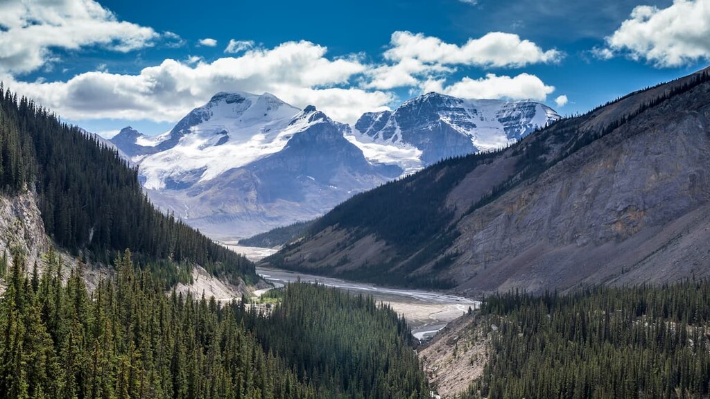
As the region experienced alternating glacial and interglacial periods, the glaciers were able to carve their way through the mountains. The glaciers scoured the layers of Cretaceous sandstone and shale from between the layers of limestone, creating the valleys and ranges that we see today. Furthermore, these glaciers carved away at the limestone slopes, creating features such as cirques and hanging valleys.
As a result of this glacial erosion, large amounts of rock were displaced and deposited across the landscape. Some of the glacial till features to find among the Winston Churchill Range are moraines, eskers, and kames.
The southern end of the Winston Churchill Range contains glaciers that started forming 238,000 years ago and are part of the Columbia Icefield. The Columbia Icefield is the largest icefield in the Rocky Mountains and one of the most accessible icefields in the world.
The Winston Churchill Range forms part of the Park Ranges, which are also called the main ranges of the Rocky Mountains. East of the Winston Churchill Ranges, across the Sunwapta River are the Queen Elizabeth Ranges which are part of the front ranges of the Rocky Mountains.
The Winston Churchill Range is part of the Alpine and Subalpine Natural Regions of the Canadian Rocky Mountains. These regions are defined by mountains, high foothills, and deep glacial valleys. They have short, cool summers and cold, snowy winters.
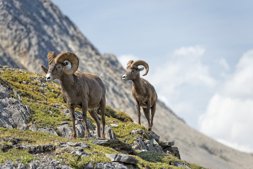
The alpine is the zone above the treeline. Here, the short growing season, coupled with intense winds, make it a difficult place for plants and animals to thrive. While plant life is sparse in the alpine region, what does grow there is tenacious and hardy.
Local topography plays a major role in where plants will thrive in the alpine zone. As such, depressions in the landscape and areas protected from the wind by outcroppings are the primary places where plants can grow.
Here, sedge communities cling around snowbeds, while mountain heather, and grouseberry grow in protected areas. Small patches of Alaska harebell can even be found along windswept ridges and the steepest slopes.
Trees at the alpine elevation are stunted and sparse and consists primarily of subalpine fir and Engelmann spruce. Furthermore, the trees in this zone are often spread out in knee high tangles called krummholz, which is an adaptation to the fierce winter winds that sweep through the landscape.
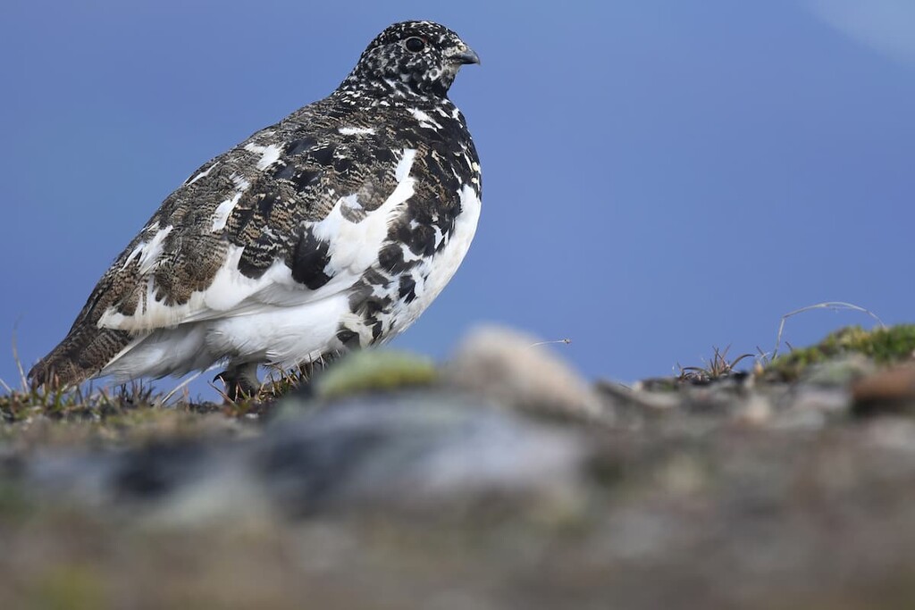
Large mammals may cross alpine regions as part of their migration; however, they don’t typically linger. The white-tailed ptarmigan, gray-crowned rosy finch, horned lark, and American pipit are found only in alpine habitats during nesting season, but they have a broader range the rest of the year.
Engelmann spruce and subalpine fir grow in open stands upon the mountains of the Winston Churchill Range, particularly at lower elevations. Dense lodgepole pine forests inhabit the lowest elevations, too, and are especially prominent in areas that have had recent wildfires.
Whitebark pine can occasionally be found at high elevations, and subalpine larch is known to crest the tree line. Stands of dwarf birch and willow are common in areas with more moisture, such as north-facing slopes. Buffalo-berry, grouseberry, and five-leaved bramble are common undergrowth in the subalpine forests.
Wet meadows and streamside shrubbery provide habitat to small mammals such as long-tailed vole, northern bog lemming, and heather vole. The forests and meadows of the subalpine natural region are home to many large animals, including elk, grizzly bears, black bears, deer, mountain goats, mountain sheep, wolves, and cougars.
At the end of the Pleistocene, around 15,000 years ago, the glaciers in the region were starting to melt. As a result, vegetation started to grow and inhabit the valleys and the slopes of the Winston Churchill Range. After the flora expanded into the area, fauna followed, including humans.
About 12,000 years ago, Alberta began to support a steppe-like ecology with the plains covered in herbs and shrubs. During this time, mammoth, horse, camel, elk, Bison antiquus, caribou, and muskoxen migrated from the south to inhabit the newly inhabitable Alberta. The earliest evidence of human habitation near the Winston Churchill Range is founding the Athabasca River Valley and dates back about 10,000 years.
While there are cultures in North America that predate the Clovis culture, the timeline of the ice-free corridor and the dating of archaeological evidence suggests that the people of the Clovis culture were the first to inhabit Alberta after the Pleistocene. The Clovis culture is known by their fluted projectile points which were first discovered in Clovis, New Mexico.
The Clovis culture became widespread across North America, and it is generally accepted that as the ice-free corridor opened at the end of the Pleistocene, the Clovis were the first known people to migrate north into the newly opened region. The Winston Churchill Range is the traditional territory of the Tsuu T’ina, Stoney, Ktunaxa, and Métis.
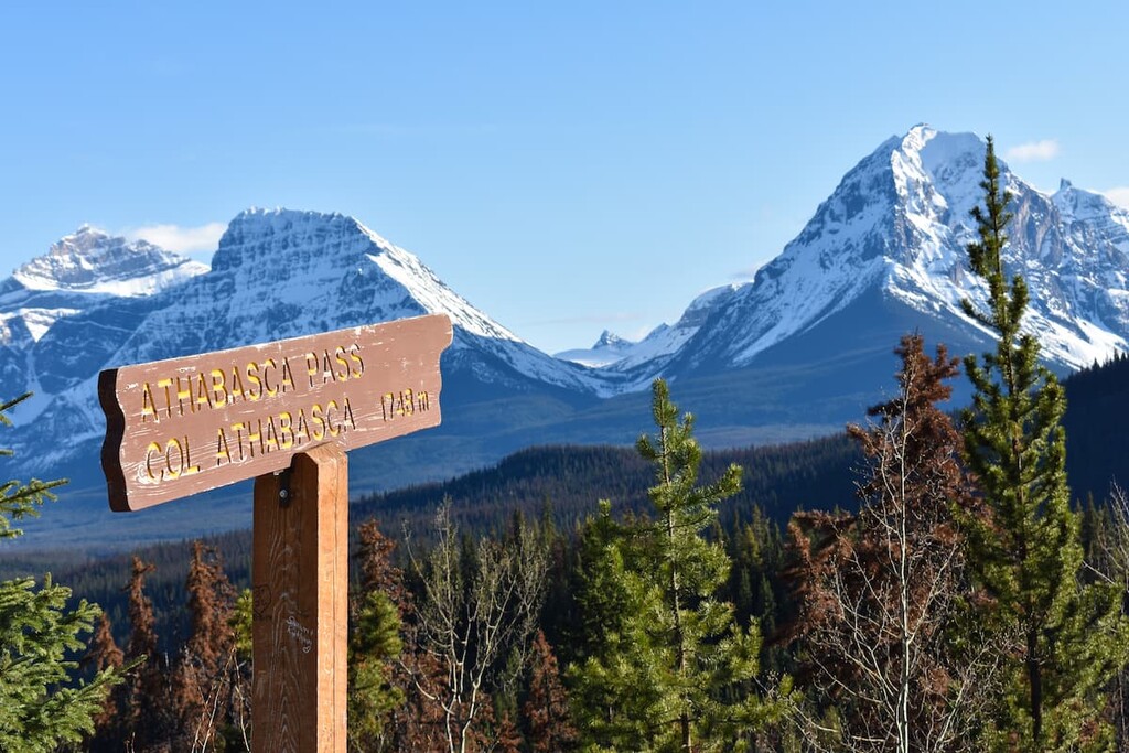
The fur trade brought Europeans to the region and in particular, David Thompson, who was the first European to discover the Athabasca Pass through the Rockies in 1810-1811. With the discovery of the pass, fur traders were able to traverse the Rocky Mountains and expand their trade.
Jasper House was built in 1813 as a rest and provisioning stop for traders travelling to and from the west. The area around the Winston Churchill Range was never settled by any significant group and, further north, toward Jasper, settlements were small and there were several homesteaders in the region. Jasper is the only town in the area and it was built as the center of commerce for Jasper National Park, which was created in 1907.
With the inception of Jasper National Park, tourism has steadily climbed in the region. The first tourists were mountaineers who made the difficult trek to the region in search of unclimbed mountains. However, after the Icefields Parkway was opened in 1940, tourism to the Winston Churchill Range and Jasper National Park increased exponentially.
After the completion of the Icefield Parkway and especially after it was paved in the 1960s, the Winston Churchill Range with its massive mountains became an incredibly accessible destination. There are massive mountains in the range with numerous peaks on the 11,000ers list as well as the Columbia Icefield.
The northern half of the Columbia Icefield, from the Athabasca Glacier, is located within the Winston Churchill Range and there are many significant and popular mountains in this small, glaciated area. North Twin, Twins Tower, Mount Columbia, and Snow Dome are popular mountaineering challenges in the region.
Access to the southern end of the Winston Churchill Range is through the Columbia Icefield. When making mountaineering attempts on the Icefield mountains, climbers can bivouac on the glacier, whereas random backcountry camping in Jasper National Park is usually prohibited.
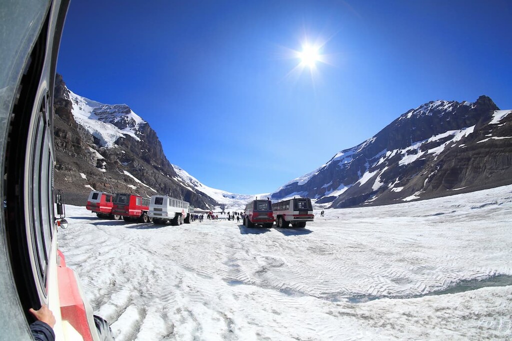
Additionally, there are tours from the Icefields Discovery Centre that will take you on a guided tour of the icefield for those that are not mountaineers. There are also trails from the Discovery Centre that travel through the glacial foreground and go to the tip of the Athabasca Glacier.
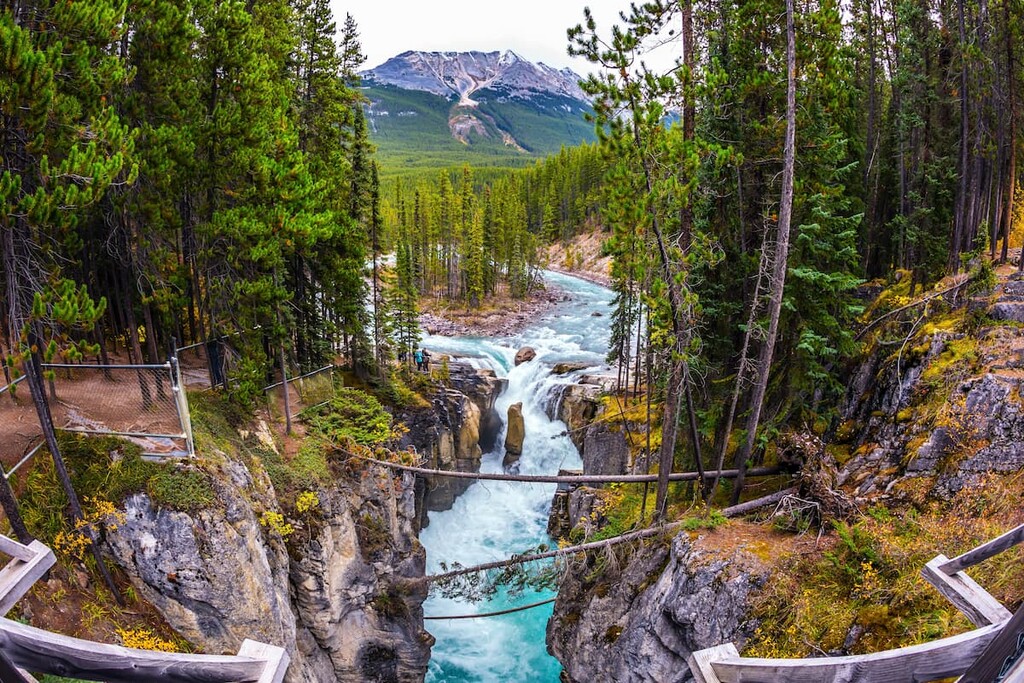
At the north end of the Winston Churchill Range, there are two trails for casual hikers. The easy trail is a 3.2 km (2 mi) return with only 143 m (469 ft) of elevation gain. The trail leads to the Sunwapta Falls and it is popular with visitors of Jasper National Park.
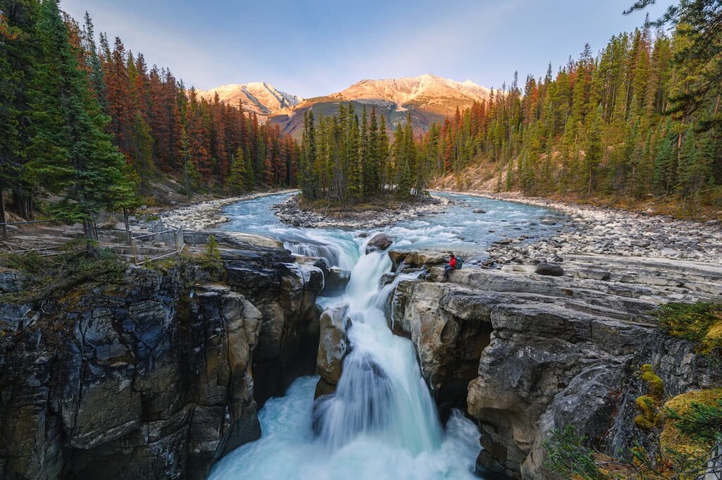
The hike from Sunwapta River to Fortress Lake is 23 km (14 mi) from the trailhead to the lake with 645 m (2,278 ft) of elevation gain. The hike is considered moderate, and the trail follows the Athabasca River from its confluence with the Sunwapta River to the Continental Divide. The current route requires crossing the Athabasca River at 14 km (8.7 mi), which can be hazardous. Therefore, this is a good place to turn around if you are not prepared for a major river crossing.
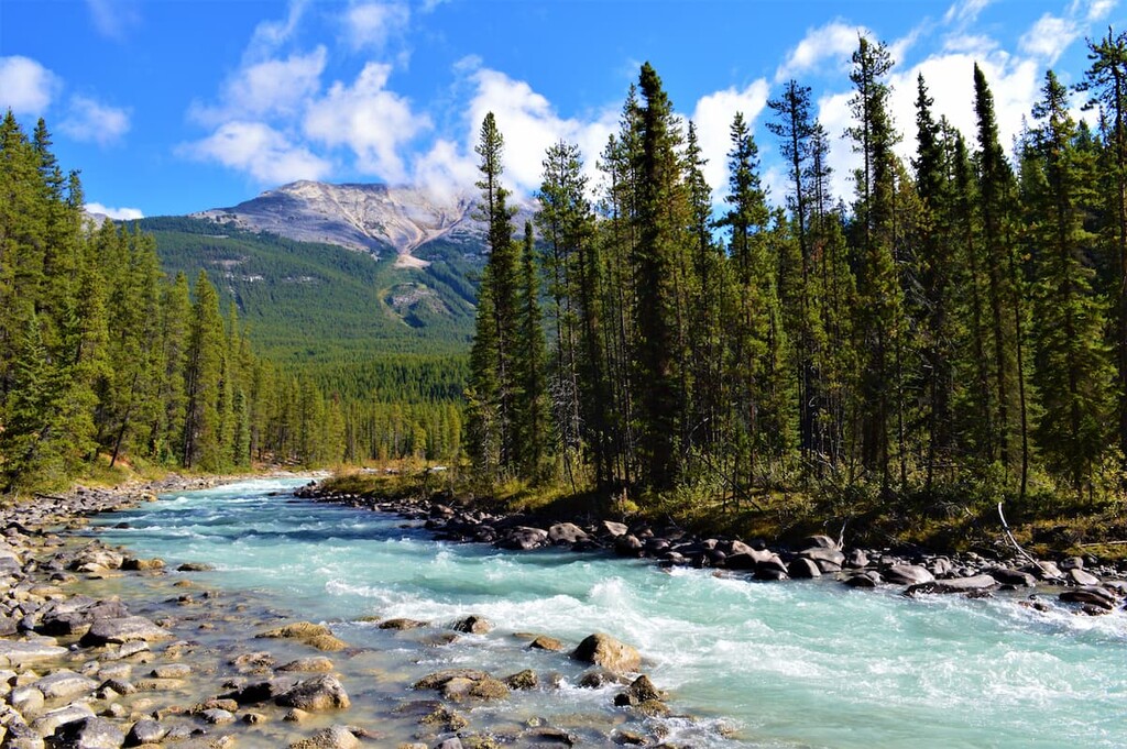
The 11,000ers are the name given to the 50 or so tallest peaks in the Canadian Rockies that are over 11,000 feet (3,350 m) in elevation. The massive prominence that the Canadian Rockies tend to have makes climbing these an incredible challenge. The Winston Churchill Range has over 20% of the 11,000ers.
The following are the 11,000ers in the Winston Churchill Range, along with their elevation and prominence:
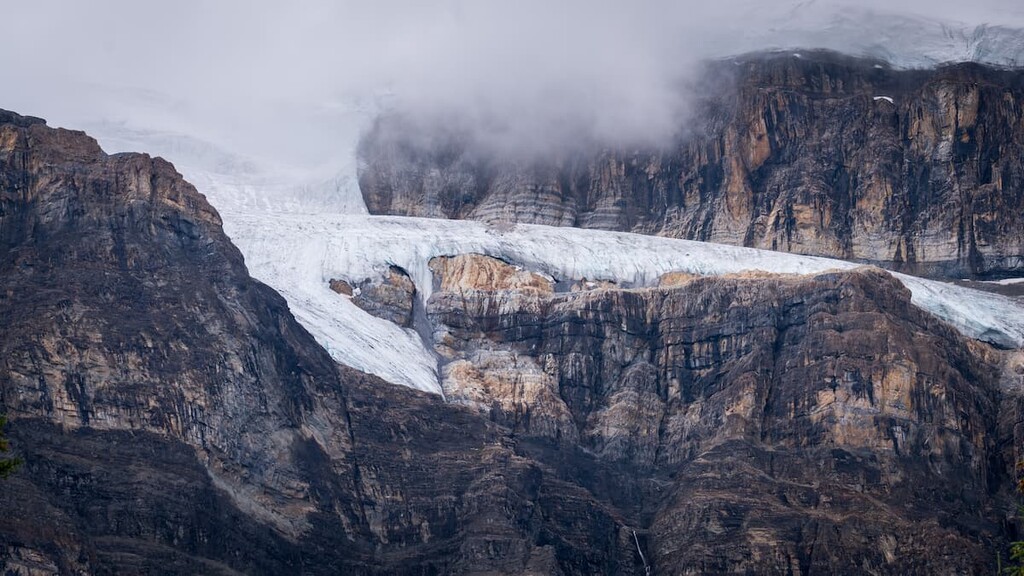
The massive mountains of the Winston Churchill Range have been made more accessible since the construction of the Icefields Parkway in 1940, which finally made a direct route to Jasper from Banff National Park. The following are some of the closest places to stay while visiting the range.
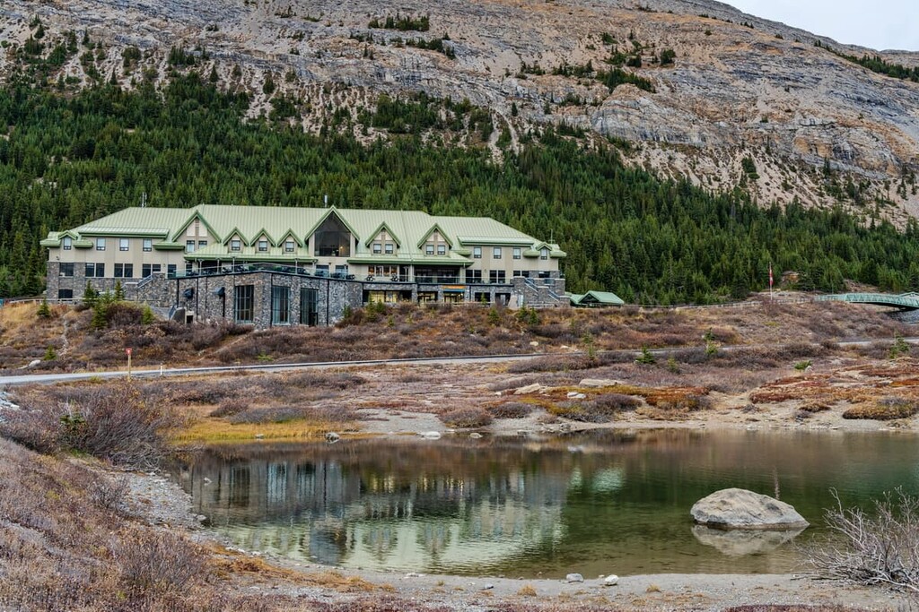
Located at the south end of the Winston Churchill Range, the Glacier View Lodge is the first and only glacier view hotel in Canada. It offers cozy and comfortable luxury rooms with either a glacier or mountain view.
Fine restaurants and private access to the glacier in the morning and private access to the glacier skywalk in the evening are perks to enjoy while at the lodge. In the evenings, guests can enjoy evening entertainment or make their way outside to gaze at the sky and stars.
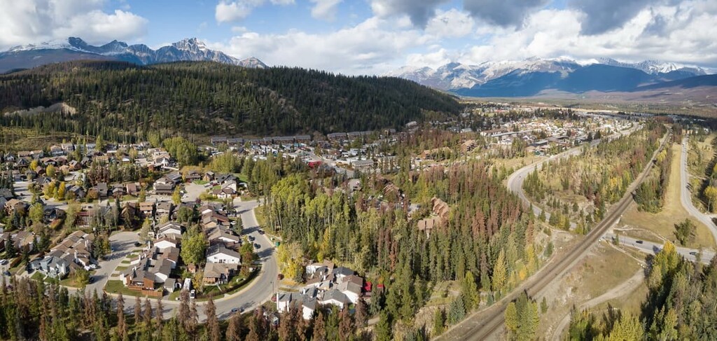
Jasper, Alberta is located about 80 km (48 mi) to the north of the Winston Churchill Range. Jasper House was established by Hudson’s Bay Company in 1813 as a fur trade outpost after David Thompson had established the Athabasca Pass as a fur trade route through the Rocky Mountains. Jasper National Park was established in 1907 and the townsite was moved to its current location in 1913.
Some of the popular destinations from Jasper include the beautiful Maligne Lake, the Columbia Icefield, the stunning Athabasca Falls, as well as countless hikes and trails around the town. Jasper National Park is a beautiful wilderness area similar to Banff National Park; however, the crowds tend to be smaller than the national parks to the south.
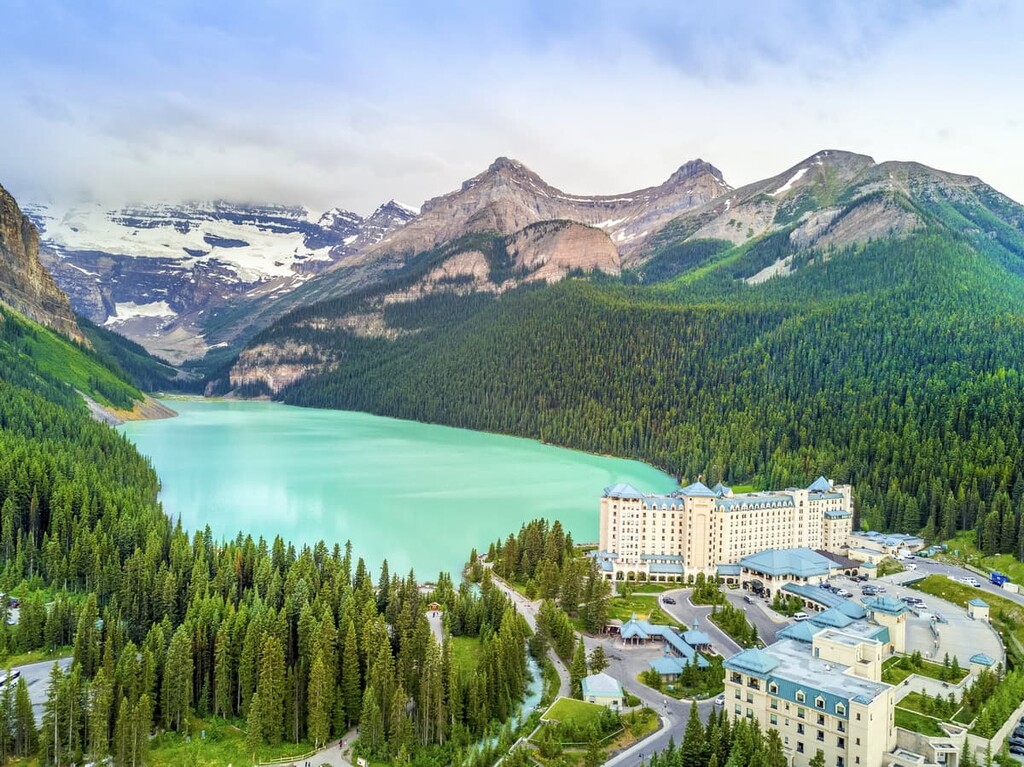
Lake Louise is situated about 100 km (60 mi) south of the Winston Churchill Range and about 100 km (60 mi) north of the Banff townsite in Banff National Park. In 1940, the Icefields Parkway was completed, allowing motor travel between Lake Louise and Jasper. The drive along the Icefields Parkway is one of the most scenic drives in the world.
The Chateau Lake Louise sits on the shore of Lake Louise and looks out at the Victoria Glacier. There are numerous world class hikes from the Chateau, including the hike to the teahouse at the Plain of the Six Glaciers. Additionally, the Lake Louise Ski Hill is nearby, and other winter activities include the Ice Festival, which features an ice castle on the lake as well as an ice carving competition that brings competitors from across the world.
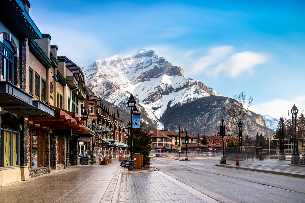
Home of the famous Cave and Basin Hot Springs, Banff offers plenty of lodging and a unique mountain lifestyle experience within Banff National Park. With amazing mountain views from the streets, like the iconic East End of Rundle (EEOR), and sites like the world class Fairmont Banff Springs Hotel, Banff offers a first-class mountain experience.
Luxurious lodging and relaxing spas are awaiting tourists as they return from exploring the amazing wilderness around Banff. Mountain trails, peaks, and phenomenal views are easily accessible on a day trip. Hiking, cycling, shopping, dining, skiing, and canoeing are all activities to enjoy while in Banff.
Explore Winston Churchill Range with the PeakVisor 3D Map and identify its summits.


