Scan the QR code and open PeakVisor on your phone
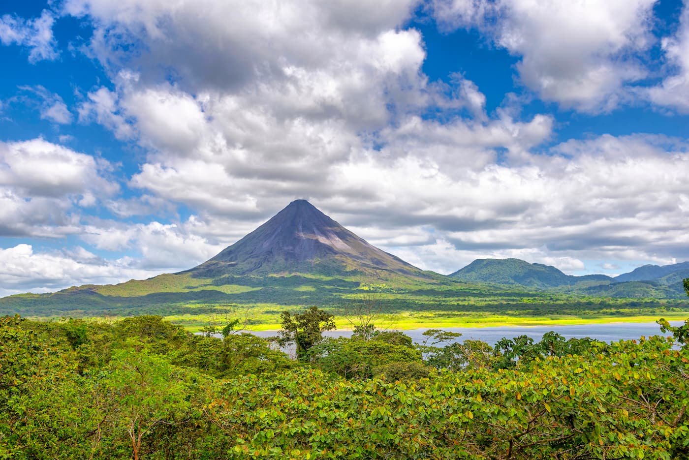
Boasting exceptional ecological diversity, the aptly named Costa Rica-Panama Ranges are a collection of peaks in Costa Rica and Panama. The ranges include 2,575 named mountains, the highest and most prominent of which is Cerro Chirripó (3,820m/12,533ft).
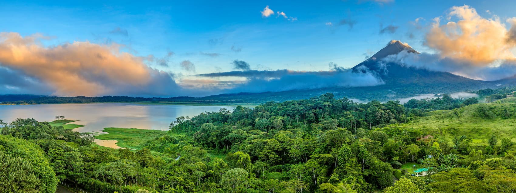
The Costa Rica-Panama Ranges cover the majority of both Costa Rica and Panama, though the tallest and most prominent peaks are located on the Costa Rican side of the range.
They begin in the north at Costa Rica’s border with Nicaragua and continue south through to Panama’s border with Columbia. To the north, the range is bordered by the peaks of Central Central America. Meanwhile, the southernmost part of the Costa Rica-Panama Ranges terminates at the northernmost extent of the Andes.
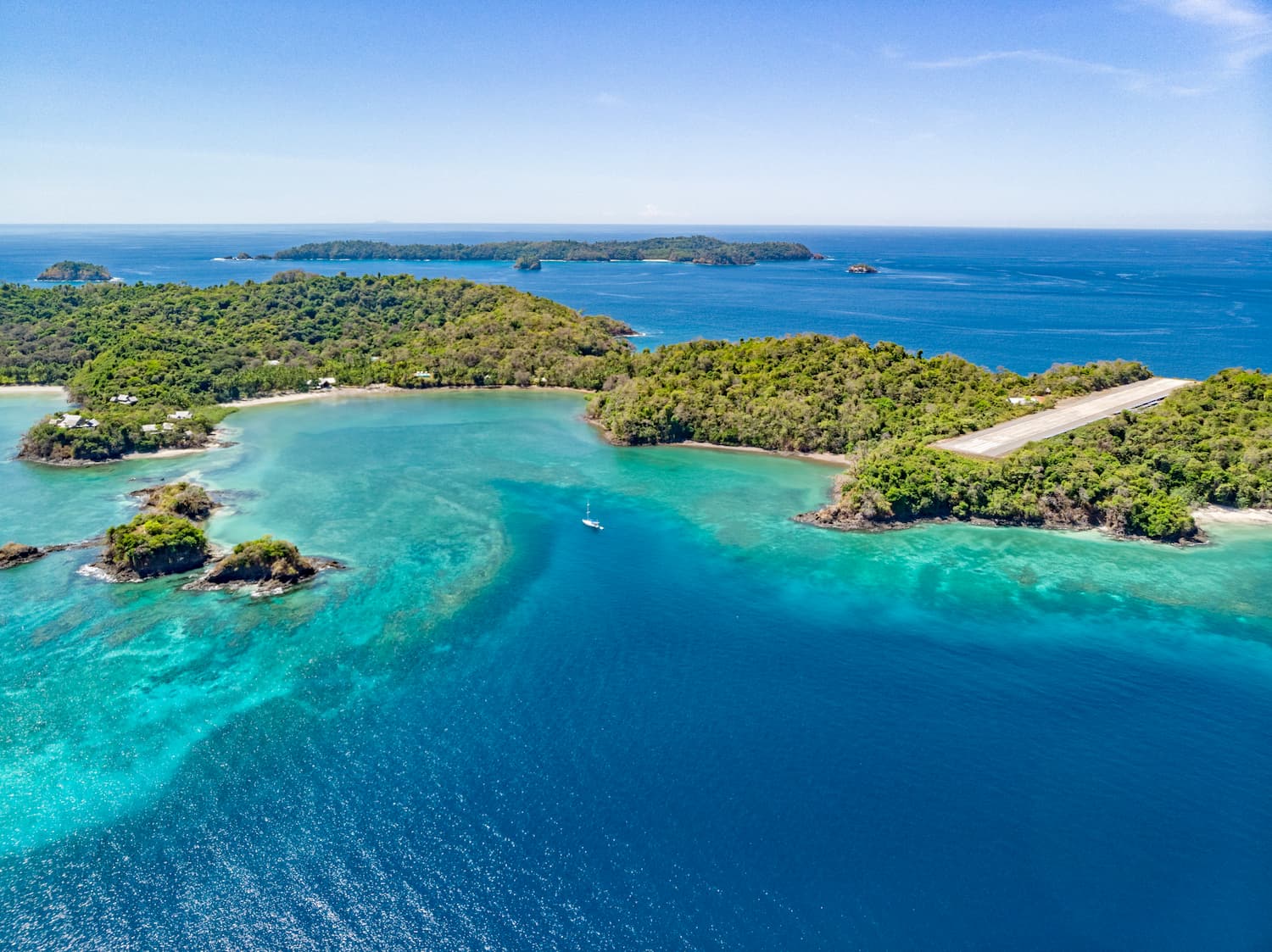
As both Costa Rica and Panama are isthmi, their peaks are surrounded on both sides by oceans. To the east lies the Carribean Sea of the Atlantic and to the west liest the open ocean of the Pacific Ocean.
Within the Costa Rica-Panama Ranges, there are a number of protected areas, including Parque Nacional Chirripó, Parque Internacional La Amistad, Parque Nacional Darién, and Parque Nacional Chagres.
Geologically, the region of Costa Rica and Panama is particularly important and interesting.
Some 20 million years ago, the region that is now Panama was covered in an ocean, which allowed the Atlantic and Pacific Oceans to intermingle. However, as the Pacific plate started to subduct under the Carribean Plate, a number of sizable submarine volcanoes developed, some of which grew tall enough to become islands about 15 million years ago.
Over the succeeding millions of years, these volcanoes grew and grew, creating larger islands. At the same time, massive quantities of sediments also started to pile up around the islands, filling in the gaps until it became one contiguous piece of land.
Some 3 million years ago, the isthmus of Panama finally formed, cutting off the flow of water between the Atlantic and Pacific Oceans. This caused a great shift in the flow of oceanic currents between these two bodies of water, eventually leading to the formation of currents such as the Gulf Stream, which exist to this day. Moreover, the formation of this land bridge between North and South America played a critical role in the great biodiversity of the region, allowing terrestrial animals from both continents to migrate elsewhere.
Moreover, the mountain ranges within Costa Rica and Panama go by many different names. In Costa Rica and the western portion of Panama, the mountains are mostly part of the Cordillera de Talamanca.
This area is highly volcanic and is home to a number of large volcanoes such as Volcán Miravalles, Volcán Santa María, Volcán Irazú, Volcán Barva, and Volcán Tenorio, many of which are among the most prominent in the region.
Indeed, this area is also among the most tectonically complex regions on earth as it is at the intersection of the Panama Block, Cocos plate, and Nazca plate, all of which are particularly active.
Toward the east, however, the majority of eastern Panama is covered with the low-lying peaks of the Cordillera de San Blas (a.k.a. Serranía de San Blas). These peaks are mostly along Panama’s northern coast with the Carribean and they are, for the most part, no more than about 1,000m (3,280ft) high.

However, south of the Panamanian border with Columbia, these low lying peaks transition abruptly into the northernmost reaches of the Andes, which stretch along the coast of South America all the way to the southern tip of the continent in Chile and Argentina’s Tierra del Fuego.
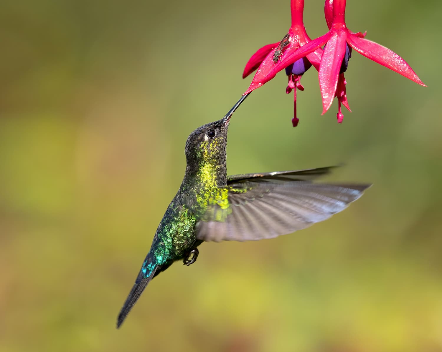
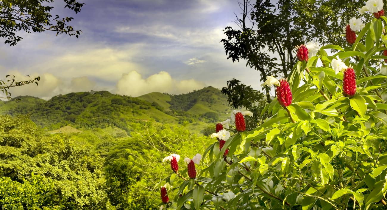
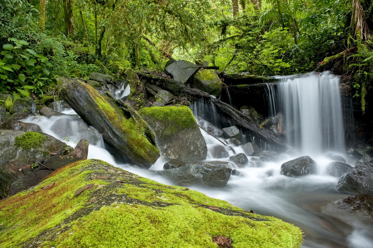
The area in and around the Costa Rica-Panama Ranges is among the most ecologically diverse in the world. Within this region, there is a high degree of biodiversity as well as a substantial number of endemic species.
There are a number of different ecoregions within the Costa Rica-Panama Ranges. Each of these ecoregions is home to a unique mix of species, many of which are threatened due to deforestation, development, and other human activities.
The Talamancan Montane Forests are found throughout Costa Rica and the westernmost parts of Panama.
These forests cover about 16,300 square kilometers (6,300 sq. mi) between elevations of about 750m to 3,000m (2,460-9,850ft). Above the Talamancan Montane Forests, the landscape transitions into the Costa Rican Páramo shrublands and below, they are bordered by a number of moist forests, including the Isthmian-Atlantic moist forests.
Within this ecoregion, the forests are mostly evergreen, though there are also substantial stands of oaks and laurels. As far as wildlife goes, there are hundreds of species of mammals and birds within the Talamancan Montane Forests.
Some of the most notable mammal species include mountain lions, jaguars, and tapirs. Meanwhile, there are some endangered and threatened birds in the forests, including the Harpy eagle (Harpia harpyja).
Located in the alpine regions of the tallest peaks in the Costa Rica-Panama Ranges, the Costa Rican Páramo (a.k.a. The Talamanca Páramo) is a montane grass and shrubland ecoregion.
This ecoregion is found above 3,000m (9,850ft) on some of the tallest peaks in the region, including Cerro Fábrega, Cerro Kamuk, Cerro Echandi, Cerro Chirripó, and Cerro de la Muerte.
In the Costa Rican Páramo, the landscape is dominated by herbs, shrubs, grases, and rushes. However, the highest elevations sections of the Páramo are home to very scarce vegetation and, above that, there is a nearly permanent snowline in the mountains.
There are hundreds of species of flowering plants within the ecoregion and dozens of animal species. Some of the most notable animal species, including the Baird’s tapir, mountain lions, ocelots, and margays.
Situated along the northern shores of Nicaragua, Costa Rica, and Panama, as well as some of the southern shores of Panama, the Isthmian-Atlantic Moist Forests are a moist broadleaf forest found at lower elevations in the region.
This region is dominated mostly by tropical rainforests, with trees that can grow up to 40m (130ft) tall in the canopy. Moreover, there are mangrove forests and swamp forests, particularly in the lowest-lying areas of Panama.
Like most tropical rainforests, the Isthmian-Atlantic Moist Forests are home to an exceptional number of plant and animal species. Some animal species are found only in these forests, including the snowy cotinga, the stripe-cheeked woodpecker, the sulphur-rumped tanager, and the streak-crowned antvireo. These forests are also home to dense concentrations of butterfly species.

The easternmost ecoregion in the Costa Rica-Panama Ranges, the Chocó-Darien Moist Forests are located along the northeastern shores of Panama and continue well across the country’s border with Columbia along the country’s western coastline.
These forests are known for their exceptionally high rainfall levels each year and their superb biodiversity. Within the Chocó-Darién Moist Forests, there are thousands of plant species, many of which are found nowhere else in the world.
The area is also home to hundreds of animal species, including giant anteaters, mountain lions, ocelots, jaguars, multiple species of spider monkeys, and Baird’s tapir.

However, the forest is continuously at risk as it has been replaced in many areas for logging, paper pulp harvesting, rubber harvesting, oil palm plantations, gold mining, cocoa growing, and other agricultural pursuits.
Both Costa Rica and Panama have been home to humans for thousands of years, long before the arrival of the Spanish in the 1500s. Interestingly, Christopher Columbus actually sailed all the way to the eastern shores of what is now Costa Rica during his last voyage at the turn of the 16th century.
The Spanish conquest of the area led to the rapid decline of Indigenous populations in the region, mostly due to violence, forced labor, and the introduction of diseases. However, the Spanish Crown mostly overlooked Costa Rica while Panama played a strategic role in the empire’s growth in the Americas.
In particular, Panama’s geographic narrowness was important as it allowed for a relatively short overland journey from gold and silver-bearing ships on the west coast to ships on the east coast, which could bring these riches back to Spain.
Of course, the construction of the Panama Canal played a critically important economic and social role in the region and on the international stage. Meanwhile, in Costa Rica, agriculture, particularly that of coffee, tobacco, sugar, and cocoa, became an essential part of the economy.
Agriculture, trade, transportation, and tourism remain important parts of the economy of both Costa Rica and Panama. There is also a push to further protect some of the most critical areas of biodiversity within both regions.
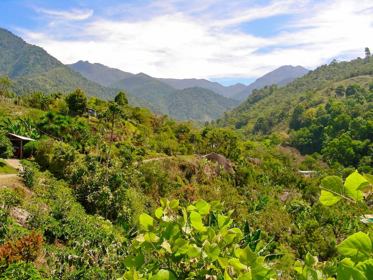
The Costa Rica-Panama Ranges are home to many fantastic hiking areas, including a sizable number of national parks and protected areas. Here are some of the best places to check out.
Parque Nacional Chirripó (Chirripó National Park) is located in southern Costa Rica. It contains 21 named mountains, the highest and most prominent of which is Cerro Chirripó, the highest peak in Costa Rica.
Cerro Chirripó is one of the most prominent mountains in the world due to the relatively low-lying area that surrounds it. The peak is accessible by a 16.5km (10.3mi) hike from the town of San Gerardo de Rivas, which leads to a refuge. From the refuge, hikers can ascend the 5km (3.1mi) walk to the summit of the tallest peak in the country.
Parque Internacional La Amistad (La Amistad International Park) is situated along the border of Costa Rica and Panama. It is home to 16 named mountains, the highest and most prominent of which is Kamuk.
The park is a UNESCO World Heritage Site thanks to its great biodiversity. It is home to 5 species of wild cats, including jaguars, jaguarundis, ocelots, margays, and mountain lions. Additionally, the park has over 600 bird species.
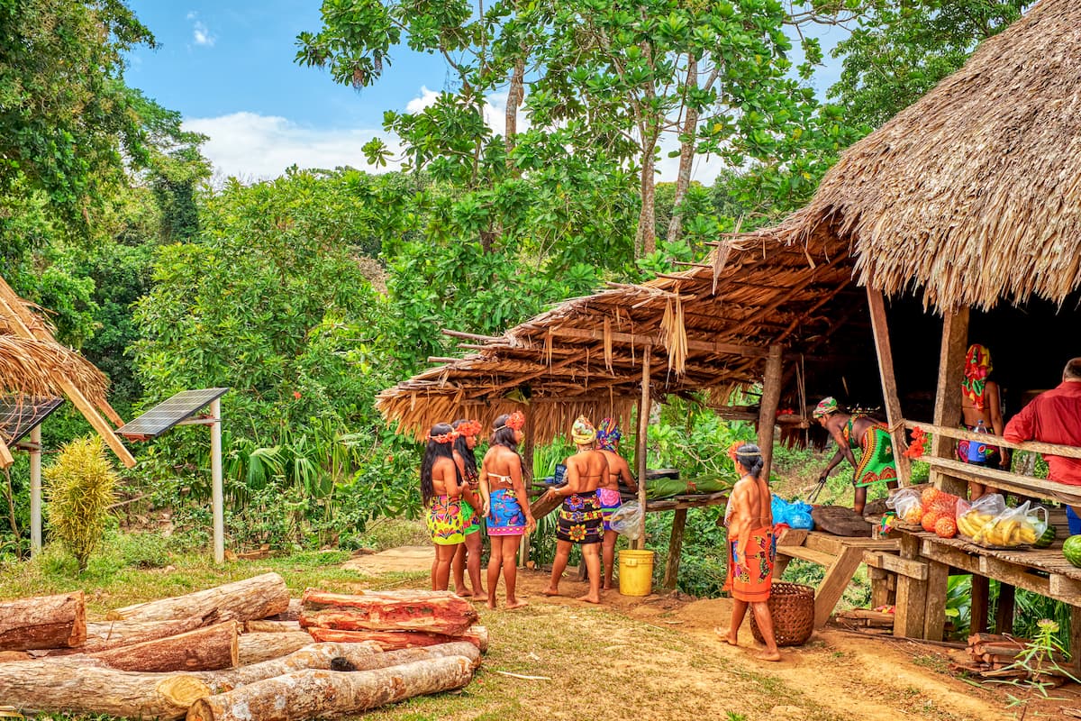
Parque Internacional La Amistad is also home to 3 Indigenous groups, the Naso, Ngöbe-Buglé, and the Bribri. These groups have small communities within the park’s boundaries, where their ancestors have lived for generations.
Parque Nacional Darién (Darién National Park) is located along Panama’s border with Columbia. It contains 10 named mountains, the highest and most prominent of which is Cerro Tacarcuna.
The park is located, not only along a political border, but along the border between the Costa Rica-Panama Ranges and the Andes. It is among Panama’s largest national parks and it is a UNESCO World Heritage Site and Biosphere Reserve, thanks to its exceptional biodiversity. On the other side of the border, in Columbia, is Parque Nacional Natural Los Katíos.
However, Parque Nacional Darién is very isolated and is difficult to access. Interestingly, the Darien Gap, an approximately 100km (160mi) long separation between the northern and southern ends of the Pan-American Highway, is located within the park.

There are a number of Indigenous groups that live within the park’s boundaries, including the Embera-Wounaan.
Parque Nacional Chagres (Chagres National Park) is located just to the north of Panama City. It contains 7 named mountains, the highest of which is Hope and the most prominent of which is Dolores.
The park is known for its tropical rain forests and large lakes. In fact, it contains Gatun Lake, which is the large, artificial lake at the northern end of the Panama Canal.
Parque Nacional Chagres was actually created in an attempt to preserve the surrounding rainforests in the hope that it could provide a regular source of water to maintain the water levels in Gatun Lake and the rest of the Panama Canal.

Located just north of the city of the city of San Jose, Prague Nacional Volcán Poás (Volcán Poás National Park) is a small protected area situated around Volcán Poás in Costa Rica. It is well known for its biodiversity and excellent bird life.
However, Volcán Poás remains a very active volcano, so the park is regularly closed for safety reasons. When the park is open, visitors can usually walk to the volcano’s main crater.
These days, the crater is particularly active, with geysers and general fumarole activity. While the last major eruption was in the 1950s, water vapor and sulphuric gas emissions from the main crater are fairly common.

In addition to the main crater, the park has 2 more dormant craters that visitors can enjoy, including the Botos crater, which is home to the glistening Lake Botos.
Parque Nacional Volcán Barú is a small national park located near the border of Panama and Costa Rica. It contains 5 named mountains, the highest and most prominent of which is Volcán Barú.
Barú is an active stratovolcano and also holds the title as the highest peak in Panama. On a particularly clear day, it is possible to see both the Pacific and Atlantic Oceans from the summit of the mountain.

Although the volcano is technically active, it has not erupted in many years. There are some popular hiking trails in the park, but perhaps the most heavily used is the Sendero Los Quetzales, which goes around the side of the volcano. Other trails lead to the summit of the peak, but are particularly challenging to ascend.
Situated around the edges of Volcán Irazú, Parque Nacional Volcán Irazú (Volcán Irazú National Park) is a small protected area in central Costa Rica. The mountain itself is an active volcano, though its last major eruption was during the 1960s.
These days, there is a considerable amount of work going into reforesting the region which has been destroyed by numerous past eruptions. Interestingly, the mountain’s main crater is home to a greenish colored lake, which is the result of the minerals within the surrounding soil.

Located just to the east of San Jose, Parque Nacional Volcán Turrialba (Volcán Turrialba National Park) is a small protected area that surrounds Volcán Turrialba.
Like many of the volcanic parks in Costa Rica, it closes frequently for visitor safety due to v volcanic eruptions. Volcán Turrialba is particularly active, having last erupted in 2015-2016, causing multiple closures of San Jose’s international airport.

Parque Nacional Rincón de la Vieja (Rincón de la Vieja National Park) is a small federally protected area in northwestern Costa Rica. It contains 5 named mountains, the highest and most prominent of which is Volcán Santa Maria.
The park was originally established in 2015 in order to protect the great biodiversity in the region. There are over 300 bird species in the park as well as jaguars, monkeys, mountain lions, and kinkajous. Additionally, there are many extremophile microorganisms that live within the park’s volcanic vents.
Despite being relatively young in age, there are 2 visitors centers and guide stations within the park offering facilities and services to tourists looking to hike and explore the park.

For their size, both Costa Rica and Panama are fairly sparsely populated countries. However, they both have some major cities, where much of each country’s populations reside. Here are some of the best places to stay during your visit to the Costa Rica-Panama Ranges:
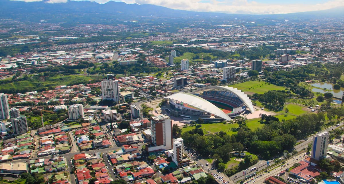
San José is the capital and most populous city of Costa Rica. It has a population of over 288,000 people, though over 2 million people live in the city’s greater metropolitan area, accounting for just under half of the country’s total population.
The city is located close to a large number of the country’s national parks, allowing for great access into the mountains. It also has the largest airport in the country, as well as the second busiest airport in Central America, offering direct flights around the world.
Liberia is located in the northwestern part of Costa Rica, some 215km (134mi) north of San José. It is a major tourism center for the country and is home to over 56,000 residents.
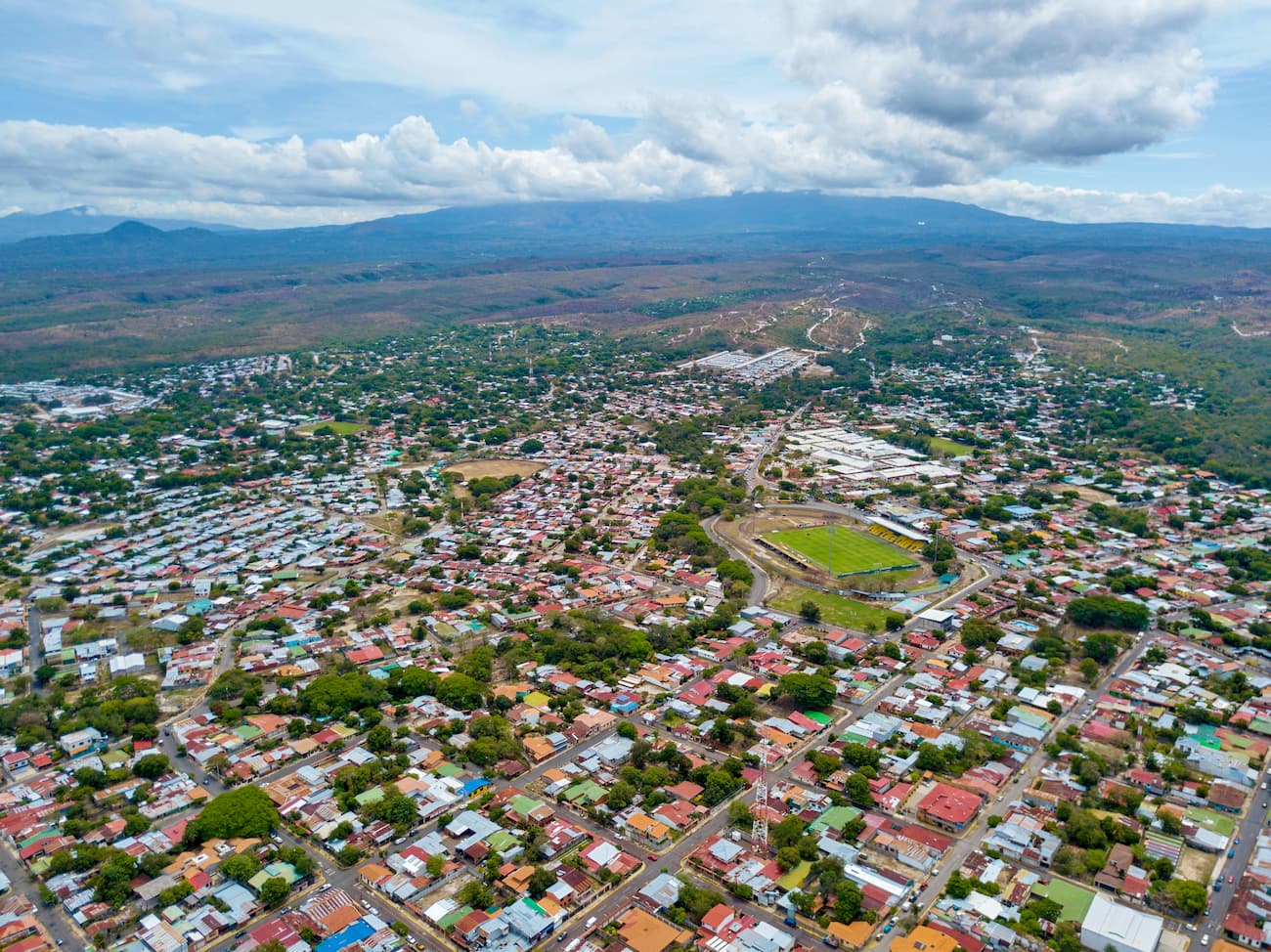
The city is also home to an international airport, which offers flights to the United States, Canada, Europe, and the rest of Central and South America. Although Liberia is very close to the beaches, it also offers great access into the mountains.
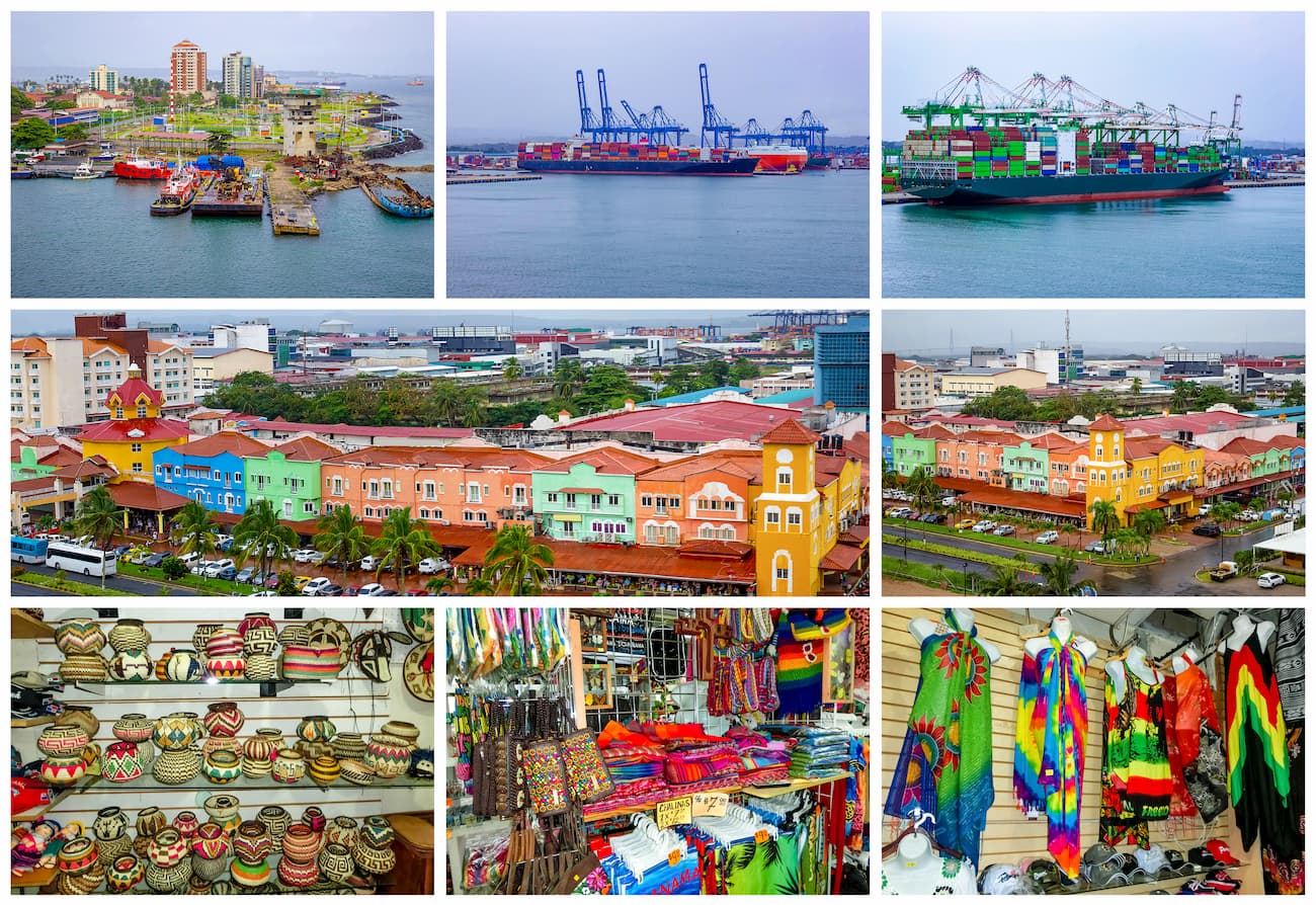
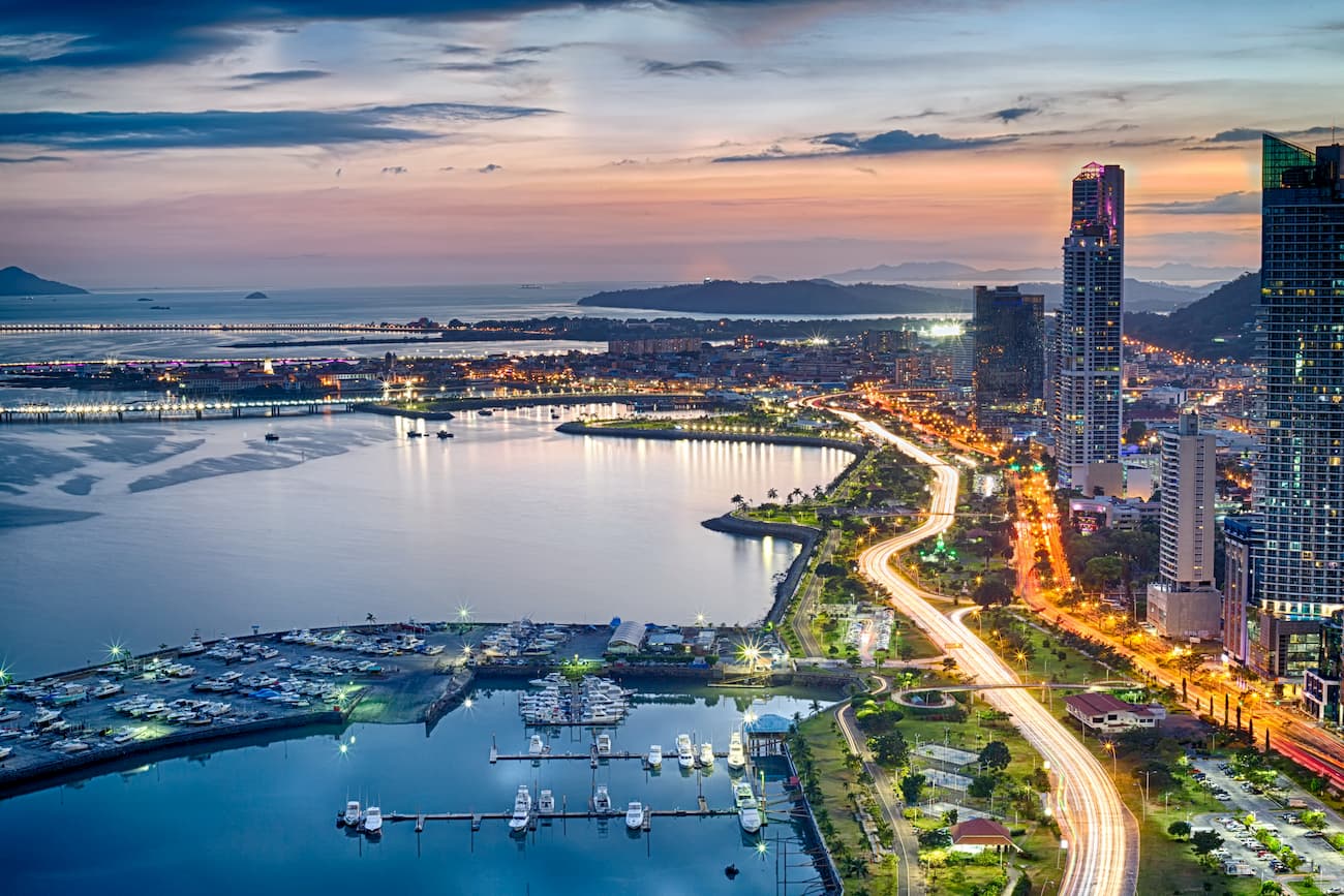
Panama City is the capital and most populous city in Panama with a population of over 880,000 people. It is the cultural, administrative, and economic hub of the country.
The city is located on the southern shores of the country and relies heavily on the Panama Canal for its trade and shipping industries. Tourism is also becoming a major industry in the city, especially as the city’s international airport has become one of the busiest in Central America.
The city of Colón is located on the northern shore of Panama at the start of the Panama Canal. It is home to about 78,000 residents and has played a strategic role in the growth of the country’s economy, as a result of the canal. Transportation to the city is via a 1 hour drive from Panama City.