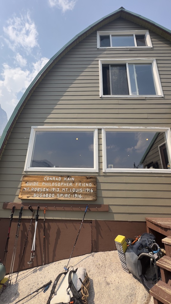
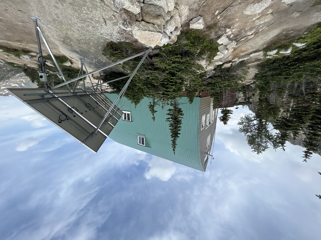
The Conrad Kain hut is an alpine hut located in Bugaboo Provincial Park in British Columbia. The hut is maintained by the Alpine Club of Canada. Coordinates: 50°44′18″N 116°45′48″W NAD27 11U 516700 5620754 The hut was erected in 1972 and named after the renowned alpinist Conrad Kain who first visited the area in 1910. It was maintained by BC Parks until 2000, when responsibility was handed over to the Alpine Club. The hut can be reached via a 3.5 km hike from the parking area (with 700m of elevation gain). The parking area is reached via a 45 km logging road from Brisco, North of Radium Hot Springs on Highway 95. BC Parks recommends that those who leave their cars here attempt to protect, with fences that are provided, their rubber hoses and cables (including brake cables) from the habits of the local porcupines. The hut is out of range of all cellular service. The hut can accommodate about 40 sleepers comfortably. It is furnished with methane-powered lamps and a stove, along with hydro-electric power for electric lights, cooking, heating and even hot water. During the summer months, the hut houses a custodian from the Alpine Club of Canada, whose job is to collect fees, maintain the hut, and provide information about climbing in the area. It is the responsibility of the visiting climbers to clean up after themselves and leave the hut in better condition than when they arrived.
We use GPS information embedded into the photo when it is available.
3D mountains overlay
Adjust mountain panorama to perfectly match your photos because recorded by camera photo position might be imprecise.
Move tool
Rotate tool
Zoom
More customization
Choose which peak labels should make into the final photo and what photo title should be.
Next
Photo Location
Satellitte
Flat map
Relief map
Latitude
Longitude
Altitude
OR
Latitude
°'''
Longitude
°'''
Apply
Register Peak
Peak Name
Latitude
Longitude
Altitude
Register
Teleport
PeakVisor
This 3D model of Sagarmatha National Park in Nepal was made using the PeakVisor app topographic data. The mobile app features higher precision models worldwide, more topographic details, and works offline. Download PeakVisor maps today.
Download OBJ model
PeakVisor
The download should start shortly. If you find it useful please consider supporting the PeakVisor app.
PeakVisor for iOS and Android
Be a superhero of outdoor navigation with state-of-the-art 3D maps and mountain identification in the palm of your hand!