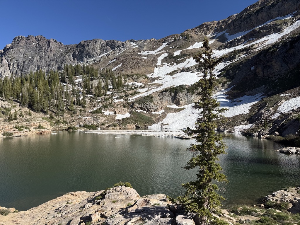
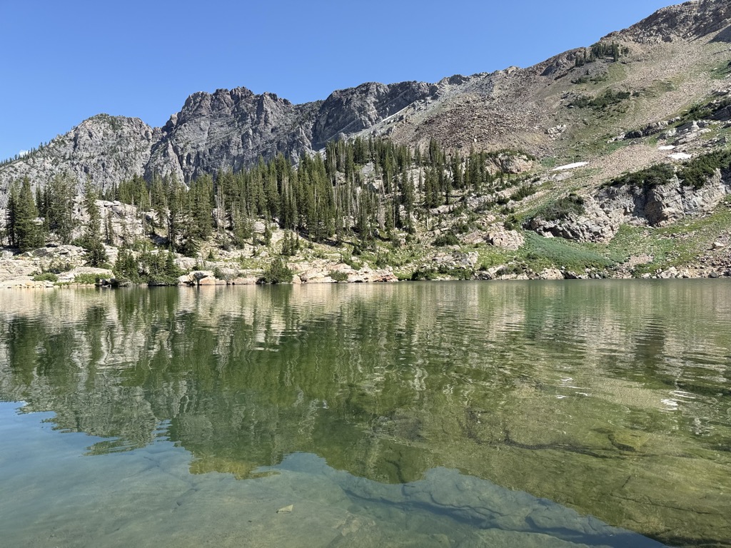
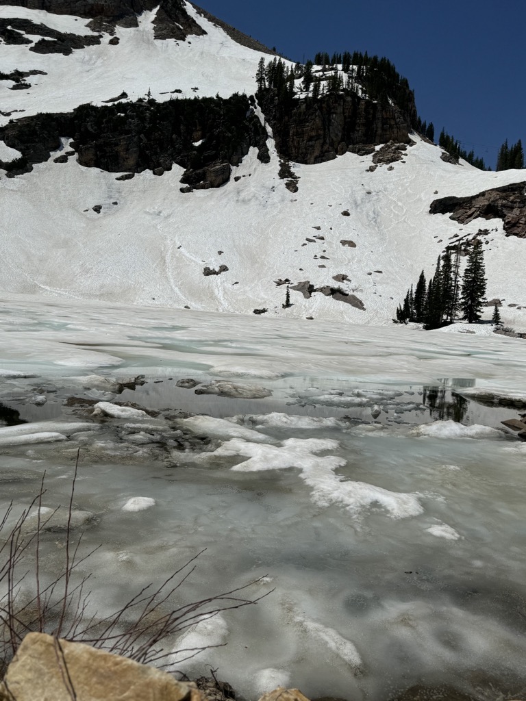
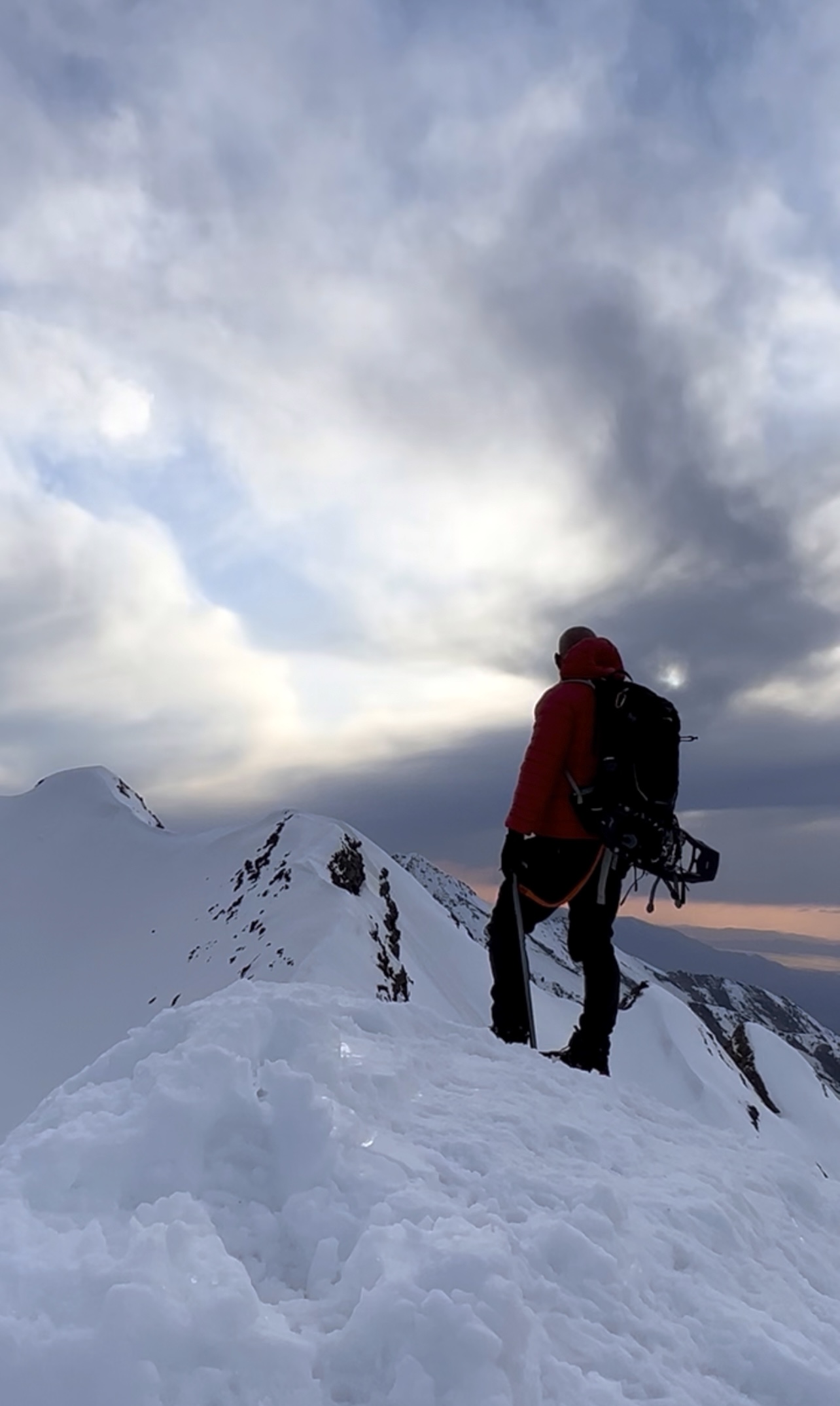
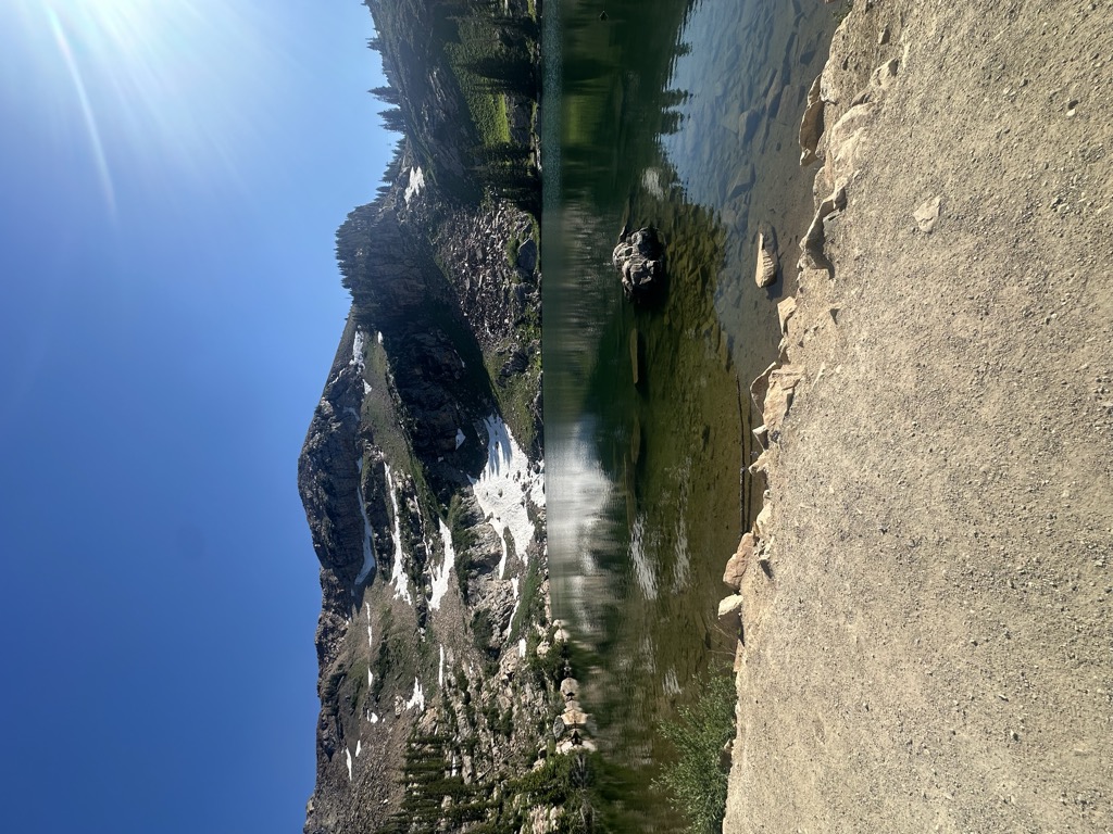
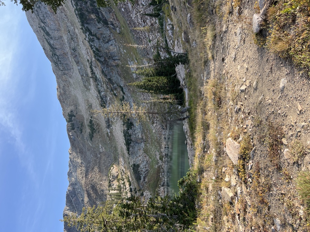
Cecret Lake (pronounced like Secret) is a small alpine lake in Albion Basin which is within the town limits of Alta in the U.S. state of Utah. This area is also part of the Wasatch National Forest. Cecret Lake is also a protected watershed for Salt Lake City. The United States Geological Survey officially spells the name of this lake as "Cecret Lake". The lake can be accessed in the summer by parking on the main road in Little Cottonwood Canyon and hiking up a dirt trail to the lake. The lake is surrounded by quartz monzonite, commonly mistaken for granite rock. Cecret Lake is also surrounded by the Alta and Snowbird ski resorts. Cecret Lake is considered a watershed area which supplies drinking water for Salt Lake City metropolitan area. This drinking water comes from several hundred inches of snow each year that lasts into July.
We use GPS information embedded into the photo when it is available.
3D mountains overlay
Adjust mountain panorama to perfectly match your photos because recorded by camera photo position might be imprecise.
Move tool
Rotate tool
Zoom
More customization
Choose which peak labels should make into the final photo and what photo title should be.
Next
Photo Location
Satellitte
Flat map
Relief map
Latitude
Longitude
Altitude
OR
Latitude
°'''
Longitude
°'''
Apply
Register Peak
Peak Name
Latitude
Longitude
Altitude
Register
Teleport
PeakVisor
This 3D model of Sagarmatha National Park in Nepal was made using the PeakVisor app topographic data. The mobile app features higher precision models worldwide, more topographic details, and works offline. Download PeakVisor maps today.
Download OBJ model
PeakVisor
The download should start shortly. If you find it useful please consider supporting the PeakVisor app.
PeakVisor for iOS and Android
Be a superhero of outdoor navigation with state-of-the-art 3D maps and mountain identification in the palm of your hand!