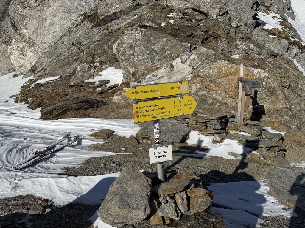
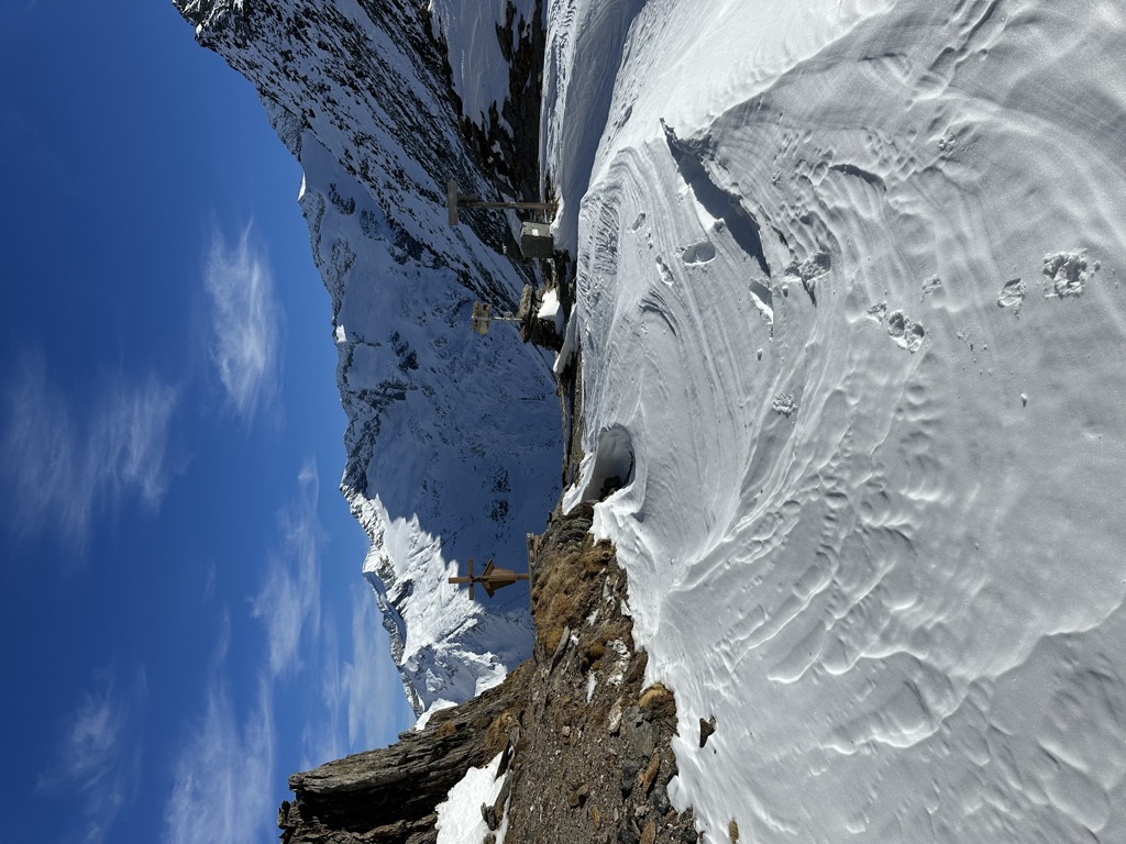
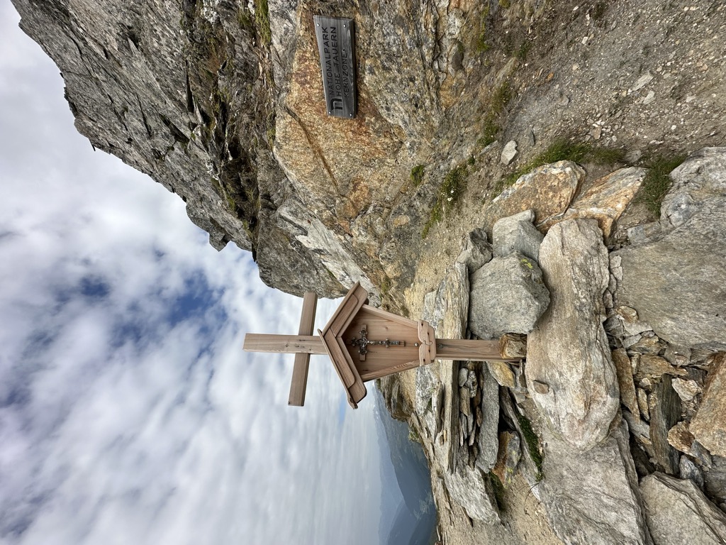
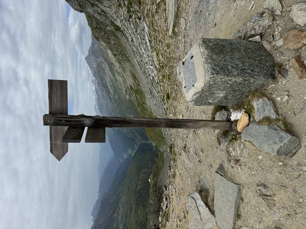
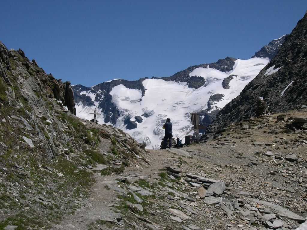
The Birnlücke (2,665 m (AA)) is the border pass at the western end of the Hohe Tauern mountains in Austria, between the Venediger Group and the adjoining Zillertal Alps. The border between Austria and Italy has run over the pass since 1919. The pass forms the border between the Austrian state of Salzburg and the Italian province of South Tyrol, the valleys of the Krimmler Achental and Ahrntal, and the Rieserferner-Ahrn Nature Park and Hohe Tauern National Park. Until the Schengen Agreement there used to be a regular border checkpoint at Krimmler Tauern (2,634 metres [8,642 ft]). Not far south of the border crossing at 2,441 m s.l.m. is the Birnlücken Hut (Rifugio Tridentina). It was built in 1900 and named after the pass.
We use GPS information embedded into the photo when it is available.
3D mountains overlay
Adjust mountain panorama to perfectly match your photos because recorded by camera photo position might be imprecise.
Move tool
Rotate tool
Zoom
More customization
Choose which peak labels should make into the final photo and what photo title should be.
Next
Photo Location
Satellitte
Flat map
Relief map
Latitude
Longitude
Altitude
OR
Latitude
°'''
Longitude
°'''
Apply
Register Peak
Peak Name
Latitude
Longitude
Altitude
Register
Teleport
PeakVisor
This 3D model of Sagarmatha National Park in Nepal was made using the PeakVisor app topographic data. The mobile app features higher precision models worldwide, more topographic details, and works offline. Download PeakVisor maps today.
Download OBJ model
PeakVisor
The download should start shortly. If you find it useful please consider supporting the PeakVisor app.
PeakVisor for iOS and Android
Be a superhero of outdoor navigation with state-of-the-art 3D maps and mountain identification in the palm of your hand!