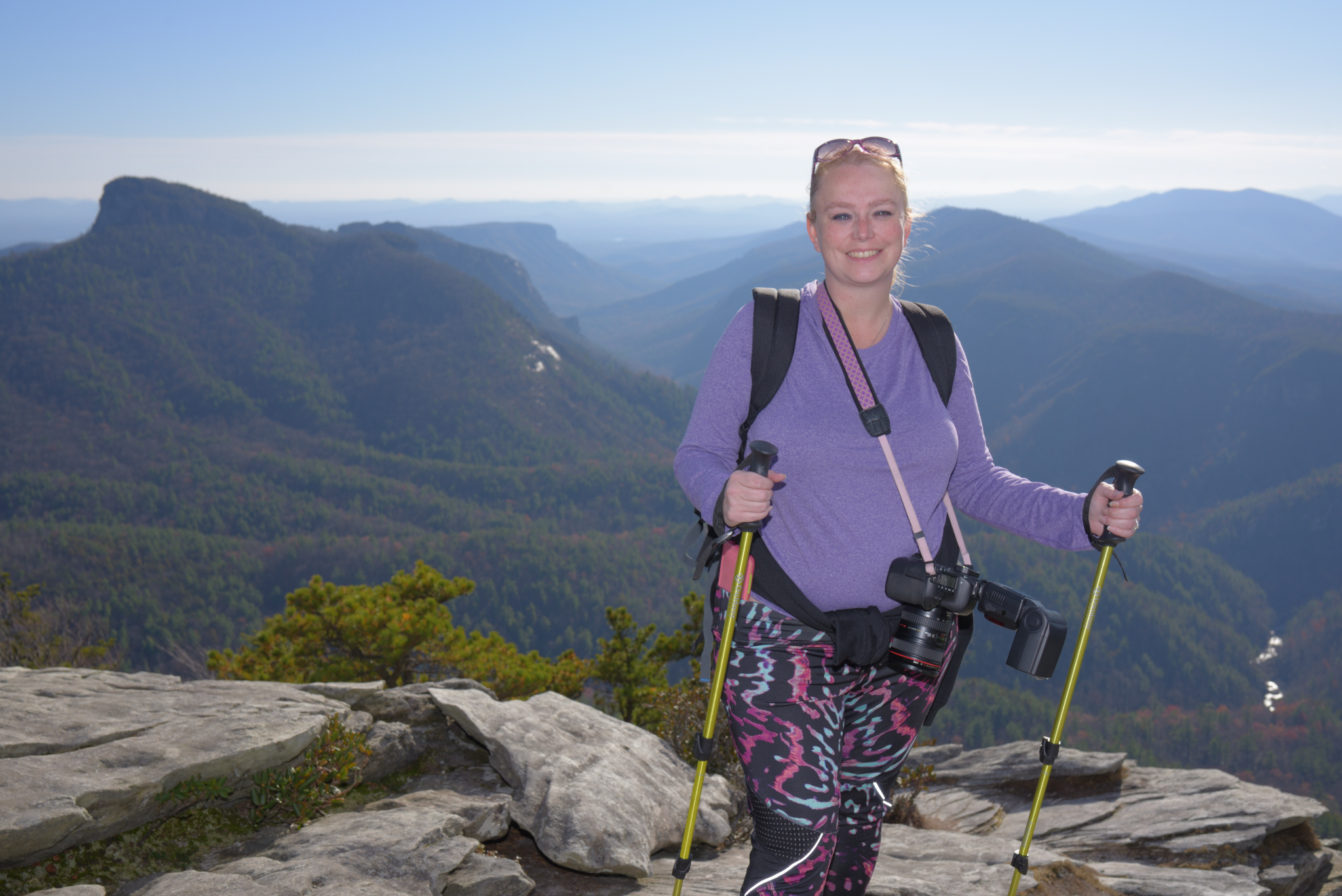
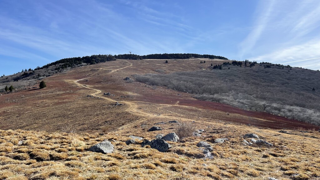
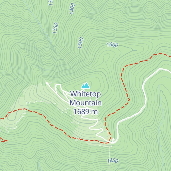
Whitetop Mountain is the second highest independent mountain in the U.S. state of Virginia, after nearby Mount Rogers. It is also the third highest named peak in Virginia, after Mount Rogers and its subsidiary peak, Pine Mountain. It is located at the juncture of Grayson, Smyth, and Washington Counties, and is also within the Mount Rogers National Recreation Area of the Jefferson National Forest. Whitetop was the location of the White Top Folk Festival from 1932 to 1939, with the exception of 1937. Like nearby Mount Rogers, it represents an ecological "island" of flora and fauna commonly found much farther north than Virginia, such as old growth red spruce and other northern softwoods.
Whitetop Mountain is within a conservation area of the same name.
By elevation Whitetop Mountain is
# 3 out of 2569 in Virginia # 3 out of 97 in Grayson County # 2 out of 89 in Smyth County # 1 out of 54 in Washington County # 3 out of 320 in Jefferson National Forest
By prominence Whitetop Mountain is
# 80 out of 2569 in Virginia # 4 out of 97 in Grayson County # 5 out of 89 in Smyth County # 2 out of 54 in Washington County # 15 out of 320 in Jefferson National Forest
We use GPS information embedded into the photo when it is available.
3D mountains overlay
Adjust mountain panorama to perfectly match your photos because recorded by camera photo position might be imprecise.
Move tool
Rotate tool
Zoom
More customization
Choose which peak labels should make into the final photo and what photo title should be.
Next
Photo Location
Satellitte
Flat map
Relief map
Latitude
Longitude
Altitude
OR
Latitude
°'''
Longitude
°'''
Apply
Register Peak
Peak Name
Latitude
Longitude
Altitude
Register
Teleport
PeakVisor
This 3D model of Sagarmatha National Park in Nepal was made using the PeakVisor app topographic data. The mobile app features higher precision models worldwide, more topographic details, and works offline. Download PeakVisor maps today.
Download OBJ model
PeakVisor
The download should start shortly. If you find it useful please consider supporting the PeakVisor app.
PeakVisor for iOS and Android
Be a superhero of outdoor navigation with state-of-the-art 3D maps and mountain identification in the palm of your hand!