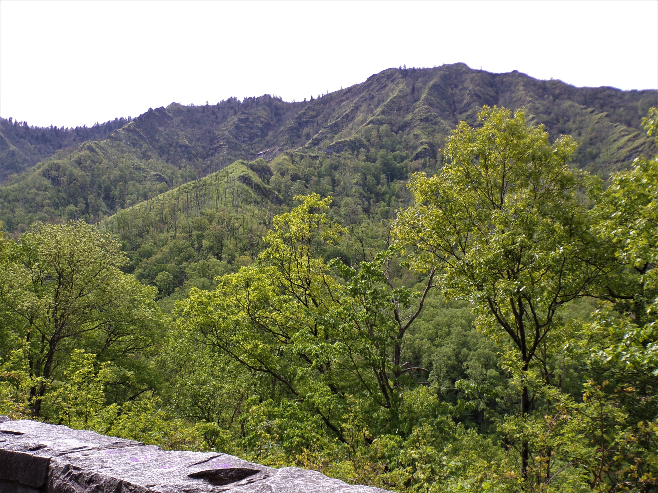
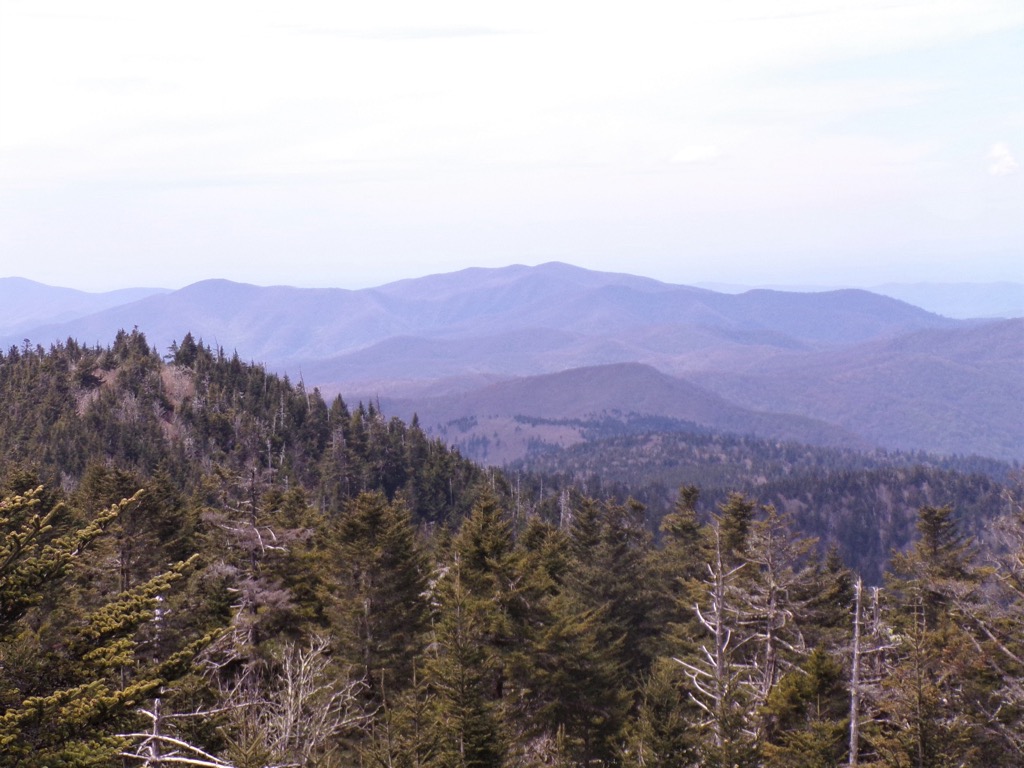
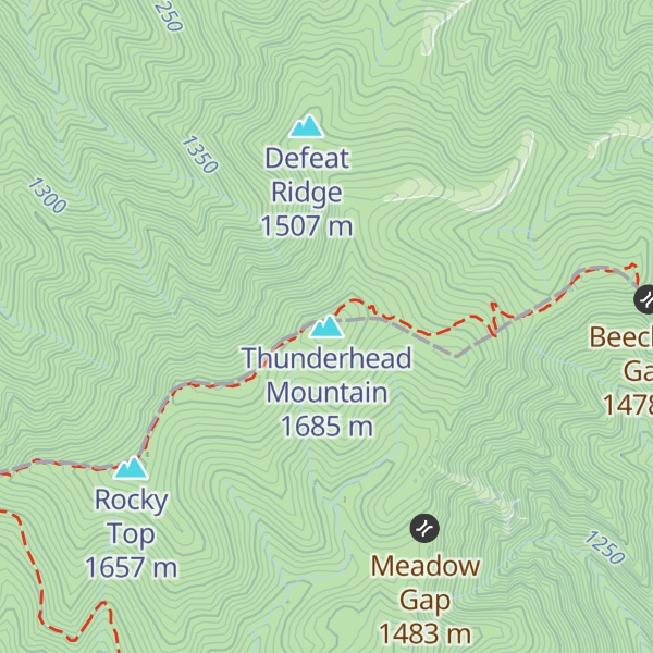
Thunderhead Mountain is a 5,527-foot (1,685 m) mountain in the west-central part of the Great Smoky Mountains, located in the southeastern United States. Rising along the border between Tennessee and North Carolina, the mountain dominates the western Smokies. The Appalachian Trail crosses its summit, making it a popular hiking destination. Rocky Top, a knob on the western part of the mountain's summit ridge, shares its name with a popular Tennessee state song.
There's a trail called Appalachian Trail leading to the summit. Thunderhead Mountain is one of the 311 peaks along the multi-day Appalachian Trail.
By elevation Thunderhead Mountain is
# 45 out of 3221 in Tennessee # 1 out of 156 in Blount County # 63 out of 345 in Great Smoky Mountains National Park # 41 out of 239 in Swain County # 65 out of 497 in the Great Smoky Mountains
By prominence Thunderhead Mountain is
# 42 out of 3221 in Tennessee # 4 out of 156 in Blount County # 8 out of 345 in Great Smoky Mountains National Park # 69 out of 3424 in North Carolina # 6 out of 239 in Swain County # 13 out of 497 in the Great Smoky Mountains
We use GPS information embedded into the photo when it is available.
3D mountains overlay
Adjust mountain panorama to perfectly match your photos because recorded by camera photo position might be imprecise.
Move tool
Rotate tool
Zoom
More customization
Choose which peak labels should make into the final photo and what photo title should be.
Next
Photo Location
Satellitte
Flat map
Relief map
Latitude
Longitude
Altitude
OR
Latitude
°'''
Longitude
°'''
Apply
Register Peak
Peak Name
Latitude
Longitude
Altitude
Register
Teleport
PeakVisor
This 3D model of Sagarmatha National Park in Nepal was made using the PeakVisor app topographic data. The mobile app features higher precision models worldwide, more topographic details, and works offline. Download PeakVisor maps today.
Download OBJ model
PeakVisor
The download should start shortly. If you find it useful please consider supporting the PeakVisor app.
PeakVisor for iOS and Android
Be a superhero of outdoor navigation with state-of-the-art 3D maps and mountain identification in the palm of your hand!