Thierberg is a mountain located in the north and southwest of the town of Kiefersfelden and thus extends over the border between Austria and Germany and it extends up to Bavaria, Germany but the most part is in Tyrol. In the not-too-high mountain, the Inn Valley is located at approximately 500 meters above sea level. There are several lakes: Egelsee, Hechtsee and Längsee.
Thierberg mountain is named after the village and cadastral community "Thierberg" .
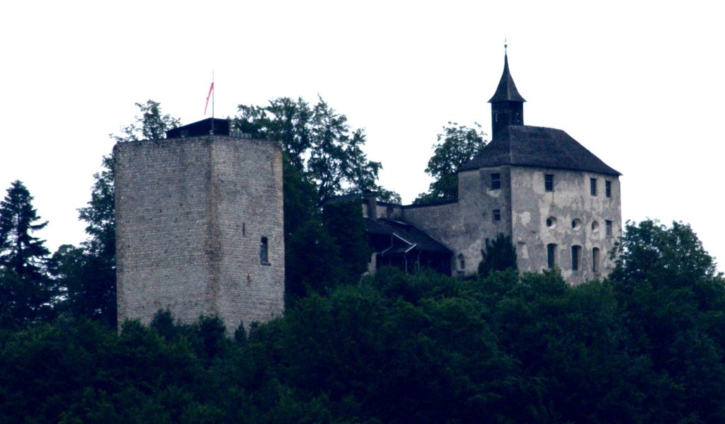
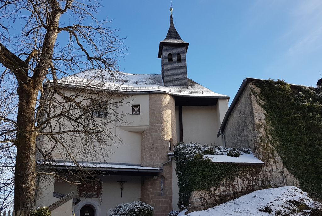
On the mountain, the Thierberg castle (721 m.a.s.l) is one of the popular pilgrimage destination of the mountain that was built approximately 1280 A.C.
There's a trail called Thierberg-Kreuzweg leading to the summit.
We use GPS information embedded into the photo when it is available.
3D mountains overlay
Adjust mountain panorama to perfectly match your photos because recorded by camera photo position might be imprecise.
Move tool
Rotate tool
Zoom
More customization
Choose which peak labels should make into the final photo and what photo title should be.
Next
Photo Location
Satellitte
Flat map
Relief map
Latitude
Longitude
Altitude
OR
Latitude
°'''
Longitude
°'''
Apply
Register Peak
Peak Name
Latitude
Longitude
Altitude
Register
Teleport
PeakVisor
This 3D model of Sagarmatha National Park in Nepal was made using the PeakVisor app topographic data. The mobile app features higher precision models worldwide, more topographic details, and works offline. Download PeakVisor maps today.
Download OBJ model
PeakVisor
The download should start shortly. If you find it useful please consider supporting the PeakVisor app.
PeakVisor for iOS and Android
Be a superhero of outdoor navigation with state-of-the-art 3D maps and mountain identification in the palm of your hand!