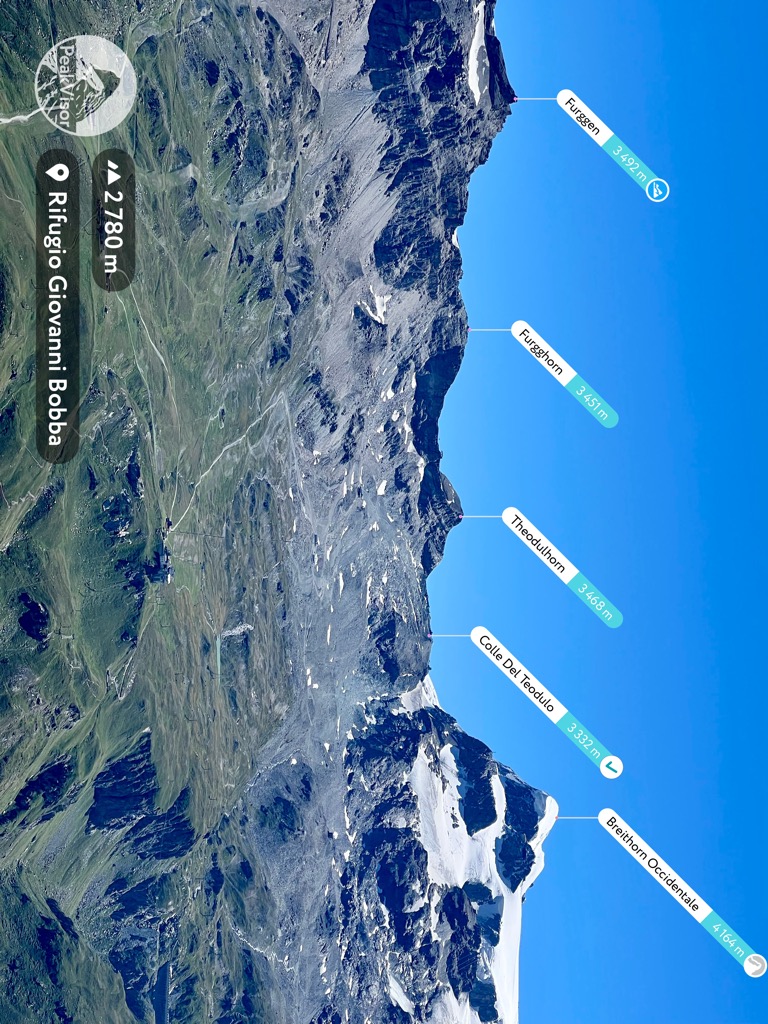
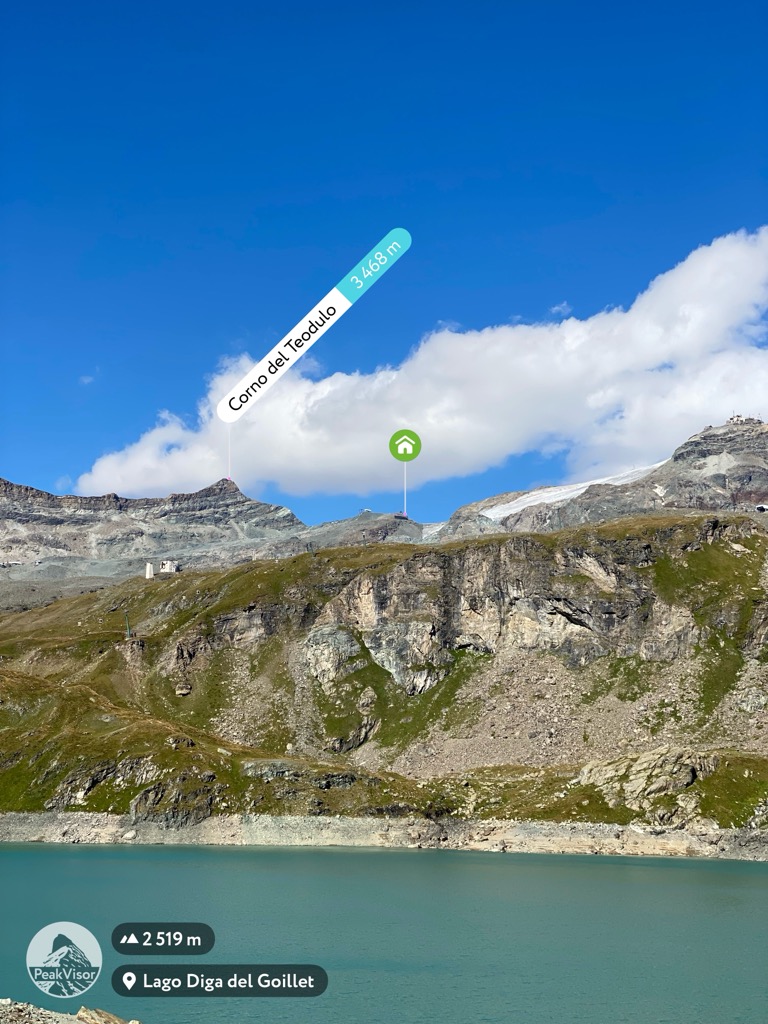
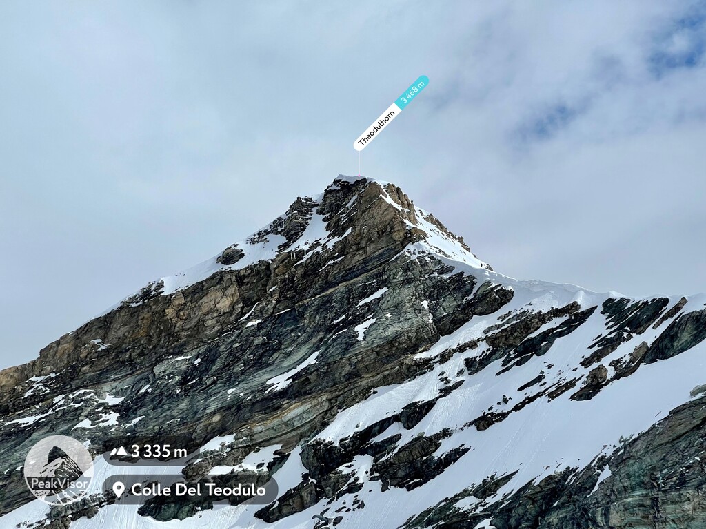
At an elevation of 3,469 m (11,378 ft.), and with a prominence of 136 m (446 ft.), Theodulhorn is a mountain that is part of the Pennine Alps and is situated on the border between Italy and Switzerland. It is one of the highest peaks in Aosta Valley, located in Italy.
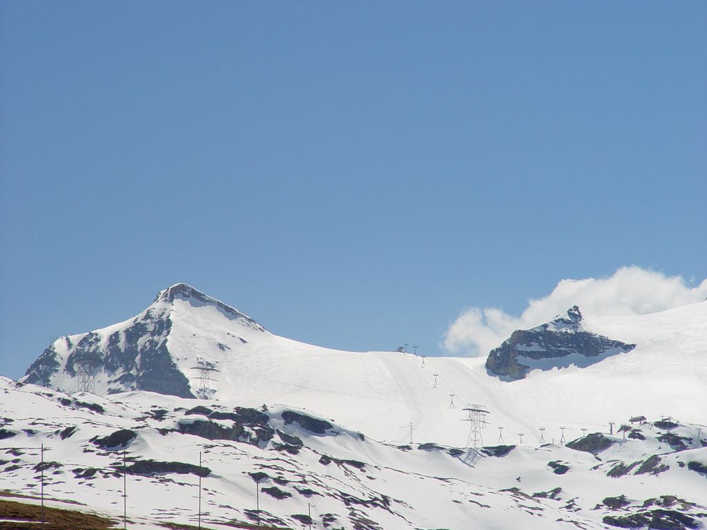
Theodulhorn is a popular destination for ski enthusiasts since it is located in the Breuil-Cervinia ski area, and the connection to Swiss Zermatt ski area goes through this peak.
Theodulhorn got its name from Saint Theodul who was a patron saint in the Valais.
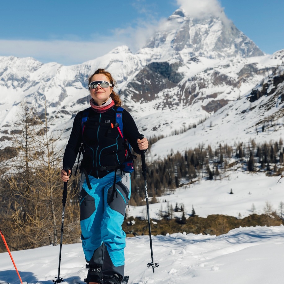
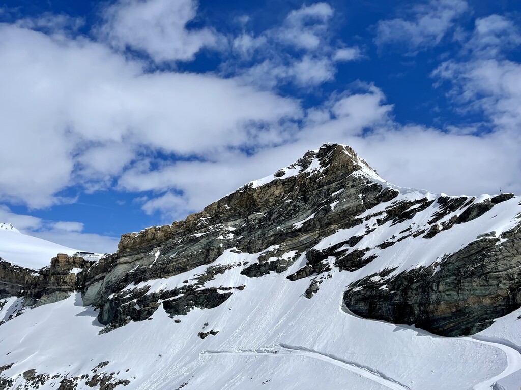
As the mountain is mostly covered with snow, the white and black contrast creates a mesmerizing scenery for trekkers. There is also a mountain hut (with the same name) mere 200 meters below the summit. The area is popular for glacier skiing (Breul-Cervinia - Zermatt region).
There's a hiking trail (T2) leading to the summit.
The nearest mountain hut is Refuge du Théodule located 589m/1 931ft S of the summit.
We use GPS information embedded into the photo when it is available.
3D mountains overlay
Adjust mountain panorama to perfectly match your photos because recorded by camera photo position might be imprecise.
Move tool
Rotate tool
Zoom
More customization
Choose which peak labels should make into the final photo and what photo title should be.
Next
Photo Location
Satellitte
Flat map
Relief map
Latitude
Longitude
Altitude
OR
Latitude
°'''
Longitude
°'''
Apply
Register Peak
Peak Name
Latitude
Longitude
Altitude
Register
Teleport
PeakVisor
This 3D model of Sagarmatha National Park in Nepal was made using the PeakVisor app topographic data. The mobile app features higher precision models worldwide, more topographic details, and works offline. Download PeakVisor maps today.
Download OBJ model
PeakVisor
The download should start shortly. If you find it useful please consider supporting the PeakVisor app.
PeakVisor for iOS and Android
Be a superhero of outdoor navigation with state-of-the-art 3D maps and mountain identification in the palm of your hand!