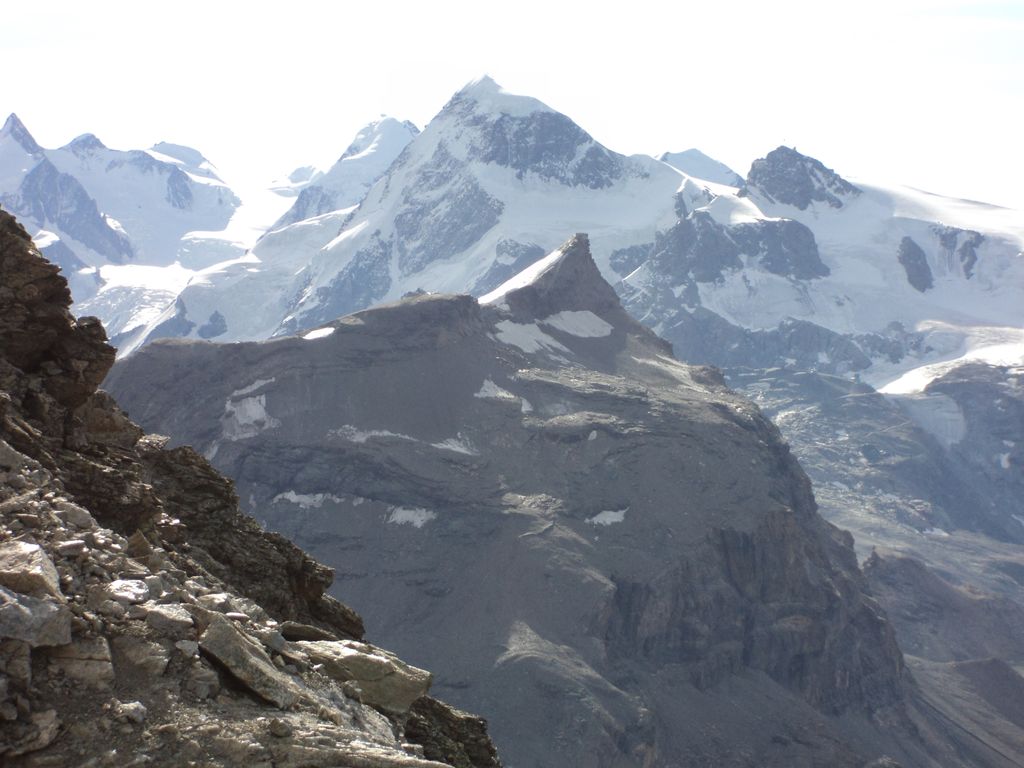
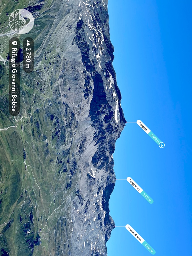
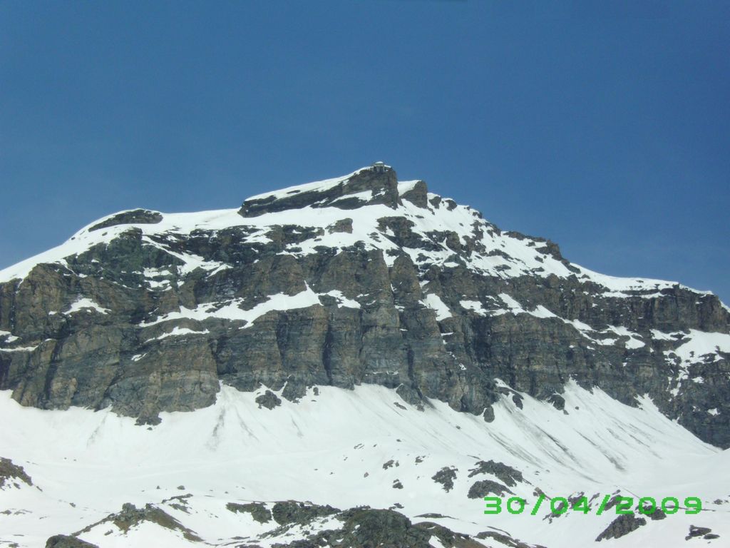
The Furggen (3,492 m) is a mountain of the Pennine Alps, located on the border between Italy (Aosta Valley) and Switzerland (Valais). It is the culminating point of the ridge named Furgggrat stretching from the Furggjoch (3,271 m) to the Theodul Pass (3,295 m), and is located halfway between the Matterhorn and Testa Grigia.
The peak is the site of the now abandoned cable car station. Construction on the cable car began in the summer of 1950 - with the station on the Furggen summit designed by Carlo Mollino - and the lift opened to the public on 25 December 1952. The lift had a single span of 2,887m long - making it the world's longest at the time of its opening. The car could hold 25 passengers and transport 240 people per hour. The lift between Plan Maison and Furggen was designed as part of a system of cable cars reaching from Breuil-Cervinia to the Matterhorn, with leg one running from Breuil-Cervinia to Plan Maison (opened on 4 March 1939). Leg 2 running from Plan Maison up to the summit of Furggen, and leg 3 reaching the top of the Matterhorn. The final leg was never constructed, partly as a result of the large cost and due to environmental opposition. The leg between Plan Maison and Furggen was abandoned in 1993 after ice brought down the cables and they were never replaced. The station on the summit of Furggen is now abandoned, but the leg between Breuil-Cervinia and Plan Maison is still in place.
There's a trail leading to the summit.
The nearest mountain hut is Bivacco Oreste Bossi located 1 877m/6 158ft NW of the summit.
We use GPS information embedded into the photo when it is available.
3D mountains overlay
Adjust mountain panorama to perfectly match your photos because recorded by camera photo position might be imprecise.
Move tool
Rotate tool
Zoom
More customization
Choose which peak labels should make into the final photo and what photo title should be.
Next
Photo Location
Satellitte
Flat map
Relief map
Latitude
Longitude
Altitude
OR
Latitude
°'''
Longitude
°'''
Apply
Register Peak
Peak Name
Latitude
Longitude
Altitude
Register
Teleport
PeakVisor
This 3D model of Sagarmatha National Park in Nepal was made using the PeakVisor app topographic data. The mobile app features higher precision models worldwide, more topographic details, and works offline. Download PeakVisor maps today.
Download OBJ model
PeakVisor
The download should start shortly. If you find it useful please consider supporting the PeakVisor app.
PeakVisor for iOS and Android
Be a superhero of outdoor navigation with state-of-the-art 3D maps and mountain identification in the palm of your hand!


.jpg)