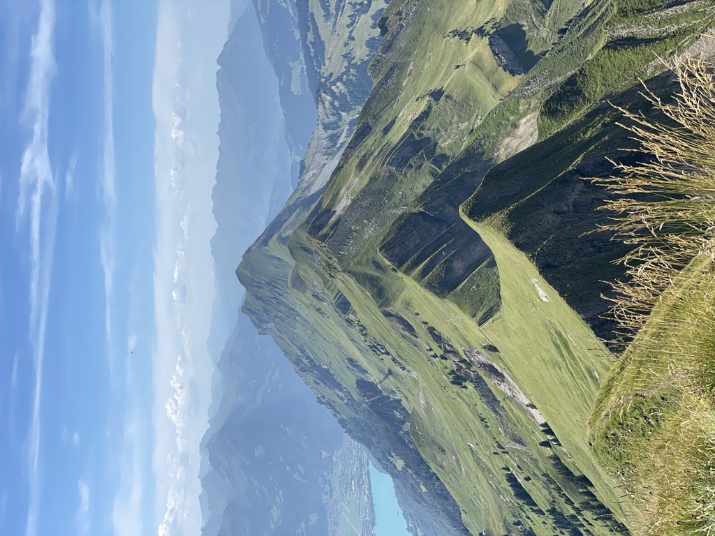
The Tannhorn is a mountain of the Emmental Alps in Switzerland. It lies to the west of the Brienzer Rothorn and to the east of the Augstmatthorn. On its southern side it overlooks Lake Brienz.
Administratively, the summit is shared by the municipalities of Brienz, to the south and east, Oberried am Brienzersee, to the west, and Flühli, to the north-east. Brienz and Oberried am Brienzersee are in the canton of Bern, whilst Flühli is in the canton of Lucerne. The Tannhorn is the southernmost point in the canton of Lucerne.
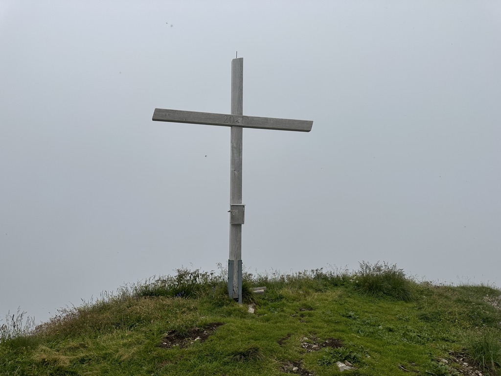
There's a demading hiking trail (T3) leading to the summit. Tannhorn is one of the 13 peaks along the Brienzergratweg.
By elevation Tannhorn is
# 1 out of 97 in Lake Thun – Hohgant Nature Park # 3 out of 229 in Luzern # 3 out of 96 in UNESCO Biosphere Entlebuch
By prominence Tannhorn is
# 9 out of 97 in Lake Thun – Hohgant Nature Park # 49 out of 567 in Verwaltungskreis Interlaken-Oberhasli # 22 out of 229 in Luzern # 11 out of 96 in UNESCO Biosphere Entlebuch
We use GPS information embedded into the photo when it is available.
3D mountains overlay
Adjust mountain panorama to perfectly match your photos because recorded by camera photo position might be imprecise.
Move tool
Rotate tool
Zoom
More customization
Choose which peak labels should make into the final photo and what photo title should be.
Next
Photo Location
Satellitte
Flat map
Relief map
Latitude
Longitude
Altitude
OR
Latitude
°'''
Longitude
°'''
Apply
Register Peak
Peak Name
Latitude
Longitude
Altitude
Register
Teleport
PeakVisor
This 3D model of Sagarmatha National Park in Nepal was made using the PeakVisor app topographic data. The mobile app features higher precision models worldwide, more topographic details, and works offline. Download PeakVisor maps today.
Download OBJ model
PeakVisor
The download should start shortly. If you find it useful please consider supporting the PeakVisor app.
PeakVisor for iOS and Android
Be a superhero of outdoor navigation with state-of-the-art 3D maps and mountain identification in the palm of your hand!