Available for connected Garmin and Suunto accounts.
Scan the QR code and open PeakVisor on your phone
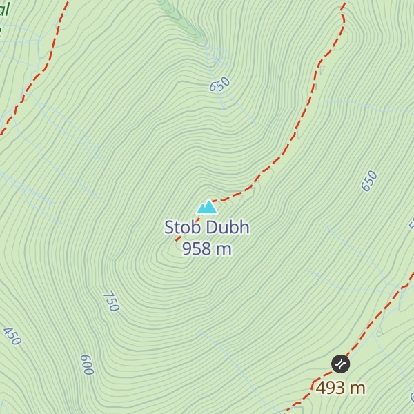
Stob Dubh map
Stob Dubh
G
G
Add photo
958 m
Elevation
Elevation is the altitude of a place above sea level.
469 m
Prominence
Peak’s prominence is the least vertical to be covered to get from the summit to any other higher terrain.
Proportional Prominence774 m
Munro
Mountains in Scotland with a height of over 914 m / 3 000 ft bear a special name, the Munros. They are named after Sir Hugh Munro, the 4th Baronet (1856–1919), who produced the first list of such hills, known as Munro’s Tables, in 1891.
Buachaille Etive Beag (, Scottish Gaelic: Buachaille Èite Beag, 'little herdsman of Etive') is a mountain between Glen Coe and Glen Etive in the Highlands of Scotland. It lies west of Buachaille Etive Mòr, its larger neighbour, from which it is separated by a high mountain pass called Lairig Gartain.
Like its neighbour, Buachaille Etive Beag is a ridge about 3 km long that runs in a southwest–northeast direction. It has two peaks of Munro status: Stob Dubh (958 m) at the southern end, and Stob Coire Raineach (925 m) in the middle. The latter became a Munro in the 1997 revision of Munro's Tables, in which all tops with a topographic prominence of more than 500 feet (150 m) were promoted to full Munro status. The smaller peak at the northern end is Stob nan Cabar.
There's a trail leading to the summit.
By elevation Stob Dubh is
# 8 out of 25 in Glencoe National Nature Reserve
By prominence Stob Dubh is
# 97 out of 4967 in Highland # 4 out of 25 in Glencoe National Nature Reserve # 61 out of 5485 in the Grampian Mountains
We use GPS information embedded into the photo when it is available.
3D mountains overlay
Adjust mountain panorama to perfectly match your photos because recorded by camera photo position might be imprecise.
Move tool
Rotate tool
Zoom
More customization
Choose which peak labels should make into the final photo and what photo title should be.
Next
Photo Location
Satellitte
Flat map
Relief map
Latitude
Longitude
Altitude
OR
Latitude
°'''
Longitude
°'''
Apply
Register Peak
Peak Name
Latitude
Longitude
Altitude
Register
Teleport
PeakVisor
This 3D model of Sagarmatha National Park in Nepal was made using the PeakVisor app topographic data. The mobile app features higher precision models worldwide, more topographic details, and works offline. Download PeakVisor maps today.
Download OBJ model
PeakVisor
The download should start shortly. If you find it useful please consider supporting the PeakVisor app.
PeakVisor for iOS and Android
Be a superhero of outdoor navigation with state-of-the-art 3D maps and mountain identification in the palm of your hand!


.jpg)