The Spanish Peaks are a pair of prominent mountains located in southwestern Huerfano County, Colorado. The Comanche people call them Huajatolla ( wah-hah-TOY-ə) or Wa-ha-toy-yah meaning "double mountain" or "Breasts of the Earth".(This is an embellishment by an early explorer of the area, it means nothing close to "Breasts of The Earth)
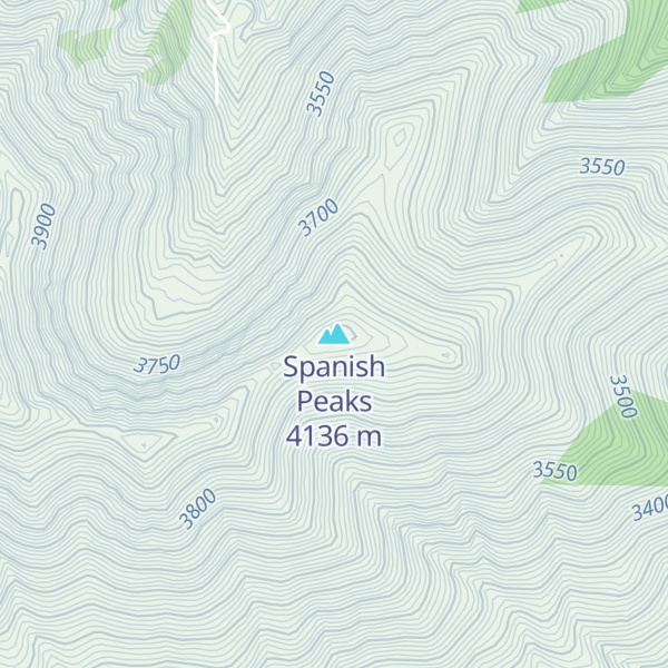
The two peaks, East Spanish Peak at elevation 12,688 feet (3,867 m) and West Spanish Peak at elevation 13,631 feet (4,155 m), are east of, and separate from, the Culebra Range of the Sangre de Cristo Mountains. Both of the Spanish Peaks are higher than any point in the United States farther east. The Spanish Peaks are situated 100 miles (160 km) due south of Colorado Springs.
The Spanish Peaks were formed by two separate shallow (or hypabyssal) igneous intrusions during the Late-Oligocene epoch of the Paleogene Period. West Spanish Peak is an older (24.59 +/- 0.13 Ma) quartz syenite. East Spanish Peak (23.36 +/- 0.18 Ma) is composed of a granodiorite porphyry surrounded by a more aerially-extensive exposure of granite porphyry. The granite porphyry represents the evolved upper portion of the magma chamber while the interior granodiorite porphyry is exposed by erosion at the summit.
The Spanish Peaks were designated a National Natural Landmark in 1976 as two of the best known examples of igneous dikes.
They were an important landmark on the Santa Fe Trail, the first sighting of the Rocky Mountains for travelers on the trail. The mountains can be seen as far north as Colorado Springs (102 miles [164 km]), points south to Raton, New Mexico (65 miles [105 km]), and points on the Great Plains east of Trinidad (up to 100 miles [160 km]). A classic book about travel to the region in the 1840s is Wah-to-yah and the Taos Trail, by Lewis Garrard.
The Spanish Peaks Wilderness area of 17,855 acres (28 sq mi; 72 km2) encompasses the summits of both Spanish peaks. Hiking is popular in the wilderness area.
By elevation Spanish Peaks is
# 5 out of 68 in Huerfano County # 40 out of 197 in San Isabel National Forest # 2 out of 5 in Spanish Peaks Wilderness Area # 30 out of 549 in the Sangre de Cristo Range
By prominence Spanish Peaks is
# 15 out of 68 in Huerfano County # 38 out of 197 in San Isabel National Forest # 3 out of 5 in Spanish Peaks Wilderness Area # 65 out of 549 in the Sangre de Cristo Range
We use GPS information embedded into the photo when it is available.
3D mountains overlay
Adjust mountain panorama to perfectly match your photos because recorded by camera photo position might be imprecise.
Move tool
Rotate tool
Zoom
More customization
Choose which peak labels should make into the final photo and what photo title should be.
Next
Photo Location
Satellitte
Flat map
Relief map
Latitude
Longitude
Altitude
OR
Latitude
°'''
Longitude
°'''
Apply
Register Peak
Peak Name
Latitude
Longitude
Altitude
Register
Teleport
PeakVisor
This 3D model of Sagarmatha National Park in Nepal was made using the PeakVisor app topographic data. The mobile app features higher precision models worldwide, more topographic details, and works offline. Download PeakVisor maps today.
Download OBJ model
PeakVisor
The download should start shortly. If you find it useful please consider supporting the PeakVisor app.
PeakVisor for iOS and Android
Be a superhero of outdoor navigation with state-of-the-art 3D maps and mountain identification in the palm of your hand!